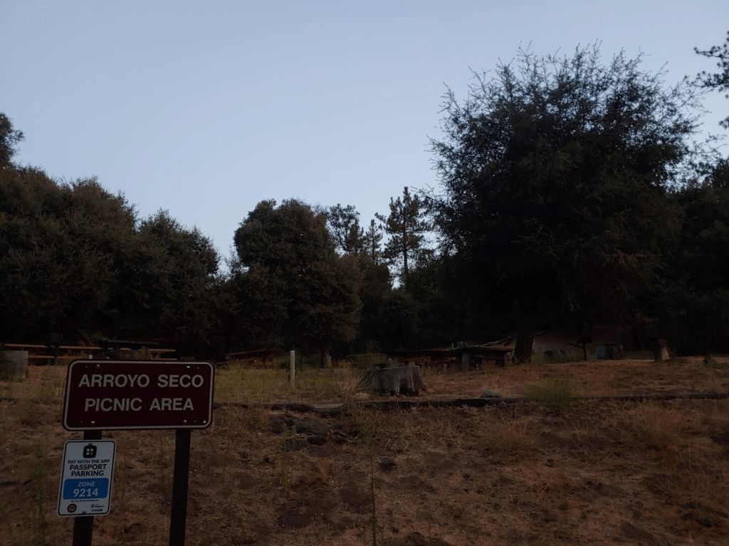
It was the Monday of Labor Day weekend and I wanted to get in another solid day of hiking, so I chose to head to Cuyamaca Rancho State Park to climb a few peaks that I hadn’t been to yet. I had considered attempting more HPS peaks in the San Gabriels or San Bernardinos, but I thought it would be a good idea to stay closer to home with all the wildfires and extreme heat. Cuyamaca Rancho State Park is one of the highest areas in San Diego County, but is still mostly 4000-6000 feet of elevation, so it was going to be hot. I had already climbed all of the notable peaks in the area, so I was planning to climb some of the more obscure peaks. The first peak of the day was Pine Ridge High Point (4573 feet). I woke up at 4:30am and hit the road at 5. It took me about an hour to reach Green Valley Campground, one of two campgrounds in the state park (the other is Paso Picacho on the slopes of Cuyamaca Peak). It was too early for anyone to be manning the entrance station, so I entered without paying the $10 day use fee. They do have a self-registration box, but I did not have correct change and I figured I would be done with this hike and out of the campground before 8. I parked at the Arroyo Seco Picnic Area and started hiking at 6:07am.
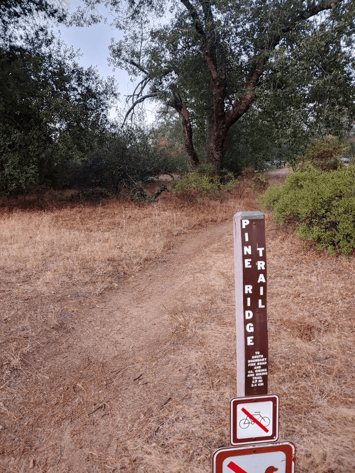
Similar to Saturday, it felt weird that it was so warm this early in the day already. I had to walk through the campground for 0.3 mile to reach the Pine Ridge Trail, which starts between sites 37 and 38. The fairly large campground appeared to be mostly full (camping in this heat does not sound that enjoyable).
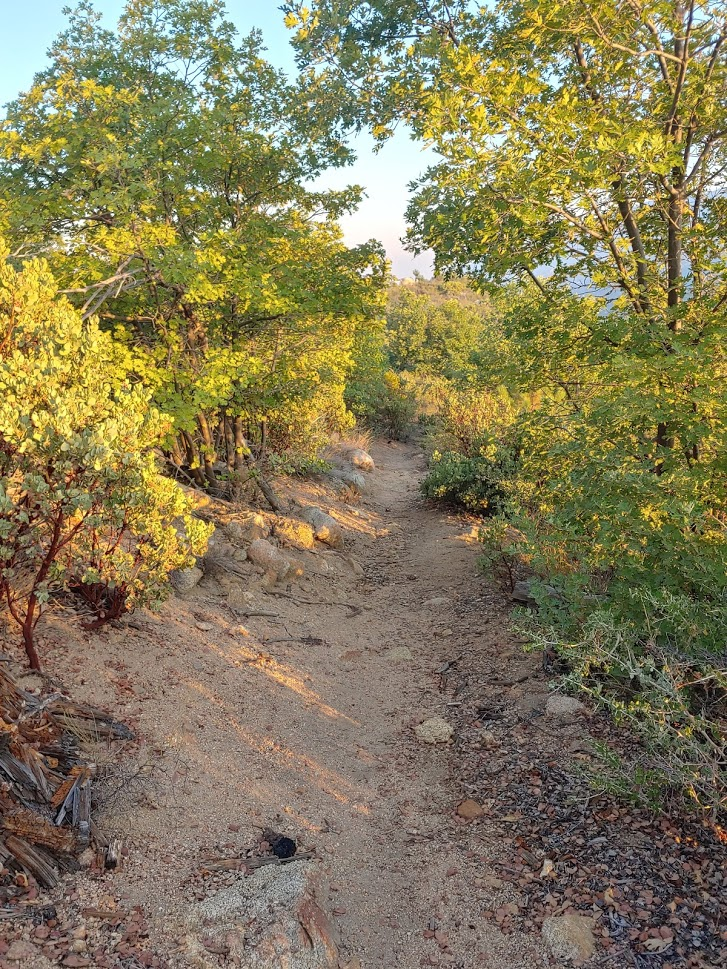
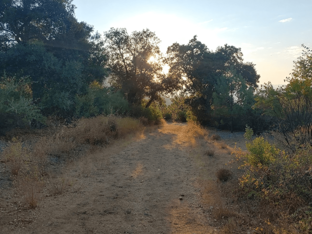
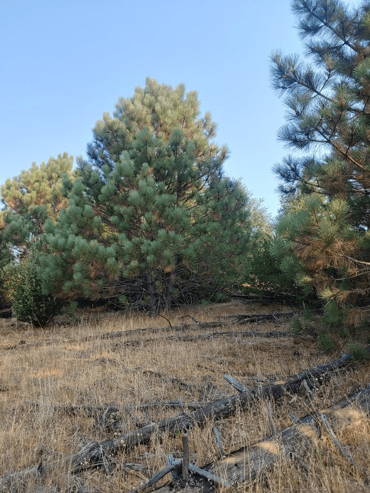
The Pine Ridge Trail starts by winding its way to the southwest and then eventually curves to the north. I had a nice view of Oakzanita Peak in the early morning light.
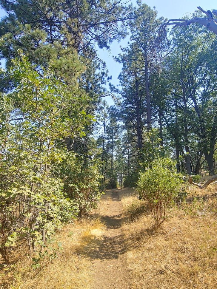
The trail is lined with typical chaparral vegetation along with the occasional pine tree.

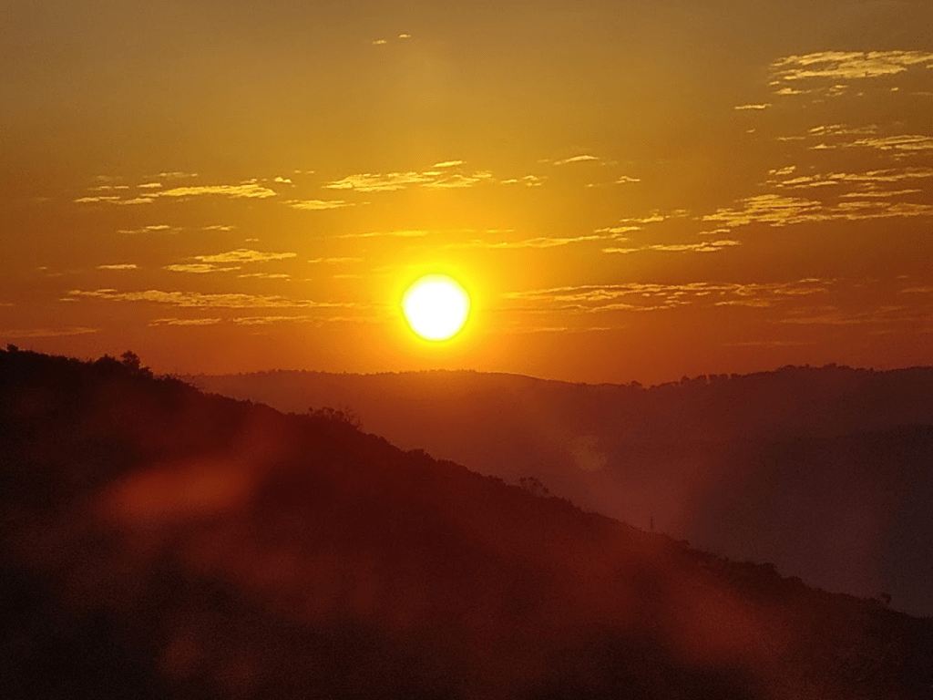
The trail gradually gains elevation up the ridge. At 6:41am, the sun rose above the Laguna Mountains to the east.
The trail does not go all the way to the high point, but it comes very close. At 1.88 miles I left the trail to climb to the summit. There was thick brush, but it was such a short way that it wasn’t too bad. I reached the high point at 6:48am at 1.93 miles.
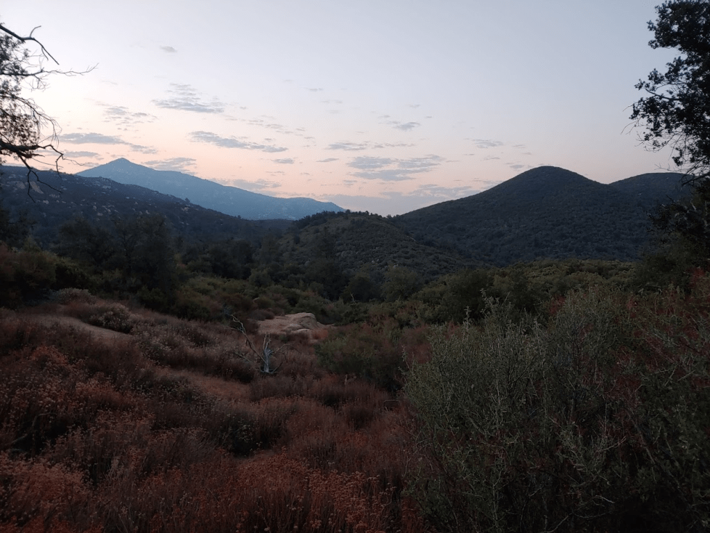
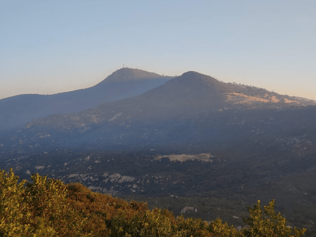
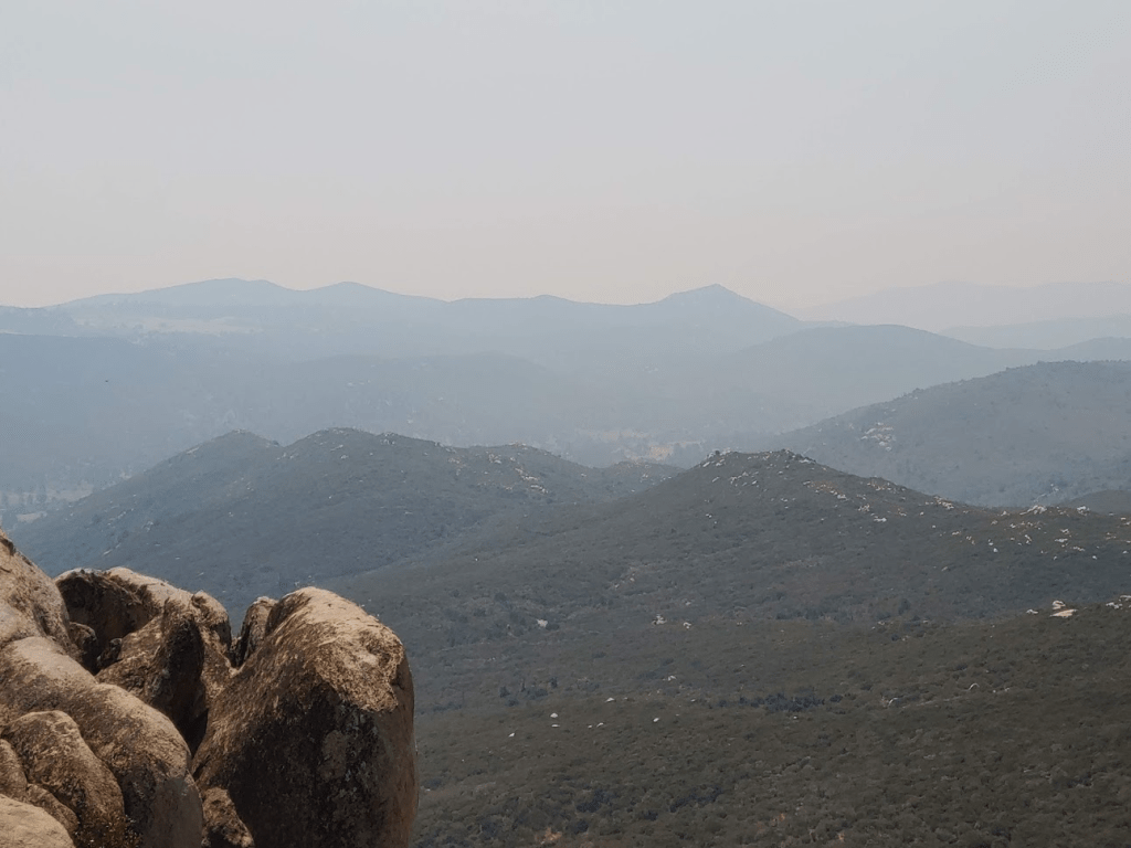
The views were pretty nice, although they were obscured somewhat by smoke from the nearby Valley Fire. Cuyamaca Peak, the 2nd highest mountain in San Diego County, was just a few miles to the north. Japacha Peak is the small bump on the right.
The register was just a few scraps of paper stapled together. The previous ascent was on 8/7/19, over a year prior. After a quick break, I scrambled back down to the trail.
Rather than return the way I came, I decided to continue north along the Pine Ridge Trail. There are dozens of miles of trails within Cuyamaca Rancho State Park, and they are mostly all connected in one way or another. This creates endless possibilities of different loops one can hike. I proceeded north until the Pine Ridge Trail ends at the South Boundary Fire Road at 2.53 miles.
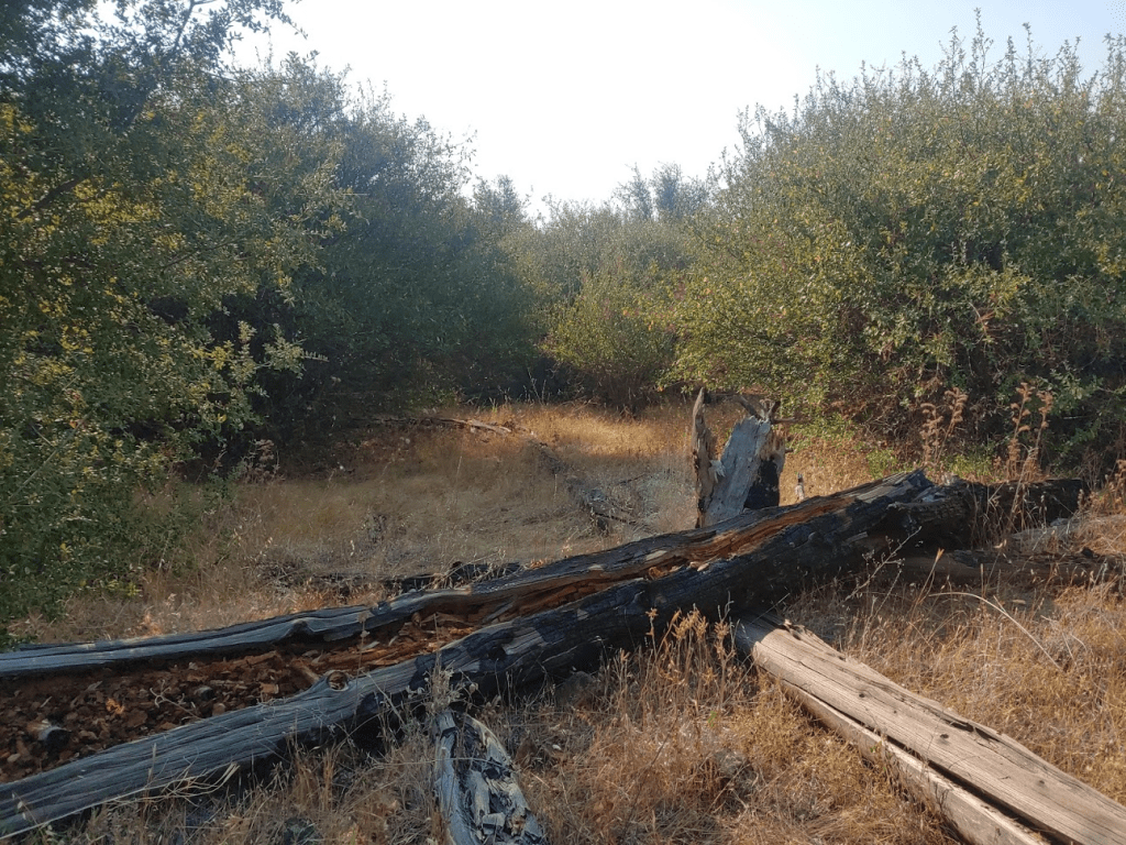
At 2.66 miles I turned right onto the Arroyo Seco Fire Road. Much of this road is lined with beautiful trees.

The fire road took me all the way back to the picnic area I parked at. I reached the car at 7:32am. This hike totaled 3.67 miles, 633 feet elevation gain, and 1:24:26 total time.

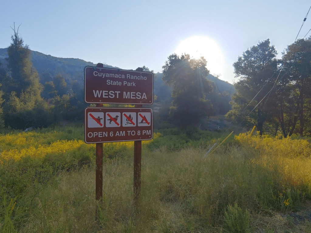
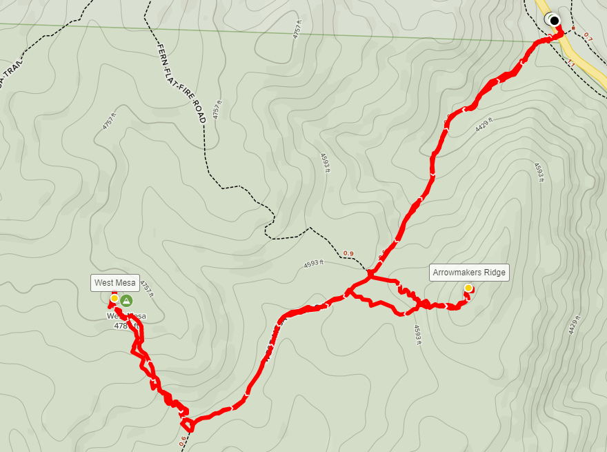
Next up was a pair of minor peaks, West Mesa (4805 feet) and Arrowmakers Ridge (4740 feet). I exited the campground (no one at the entrance station still) and drove about 3 miles north on Highway 79 to the West Mesa Trailhead. This is one of many trailheads within the park that are really just large turnouts on the side of Highway 79. These trailheads are all free parking. I started this hike at 7:43am.
I crossed the highway and passed through the hikers gate.
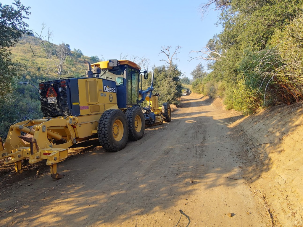
I started hiking southwest on the West Mesa Fire Road. At 0.2 mile I passed a grader. A little further up I passed a bulldozer and another construction vehicle.
At 0.6 mile I reached the intersection with Fern Flat Fire Road. Here I left the road to the left and started hiking cross country east towards Arrowmakers Ridge.

The route from the road to the summit was very brushy, and I got scraped up pretty badly.
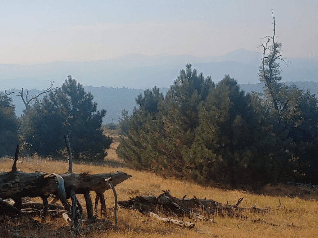
I gained the ridge just south of the high point. The brush wasn’t as bad on top of the ridge, so it was easy to reach the summit from there. I made it to the top at 8:12am at 0.9 mile. There weren’t many views to be had due to the heavy brush on the actual summit. I was able to get some decent pictures though at other points along the ridge. I noticed the smoke was worse here than on my first hike earlier. This was confusing to me since I was further north, and therefore further away from the fire.

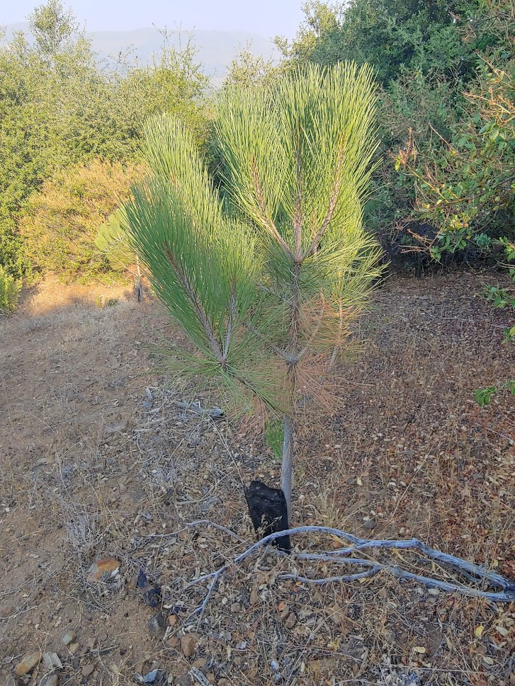
After a short break I started hiking back down to the road. I noticed many small pine tree seedlings that were planted all around.
I reached the road at 1.23 miles. I went left and continued southwest on the fire road.
I went less than a half mile before leaving the road again to climb to West Mesa. The brush here wasn’t as bad. It was mainly tall grass and scattered pines to maneuver around.
I reached the summit at 8:45am at 2.01 miles! This summit isn’t very distinct, so GPS coordinates are necessary to locate the high point. There were no views here either due to heavy brush.
I took a short break to eat breakfast and then started hiking back down to the road. The smoke was actually starting to bother me now. I could really smell it in the air, and I could barely see the surrounding peaks.
I reached the road once more at 2.42 miles. I turned left and hiked back the way I came. As I got near the highway, I had an excellent view of Stonewall Peak to the north.
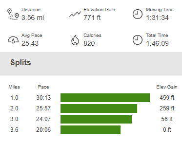
I reached the car at 9:30am. This hike totaled 3.56 miles, 771 feet elevation gain, and 1:46:09 total time.
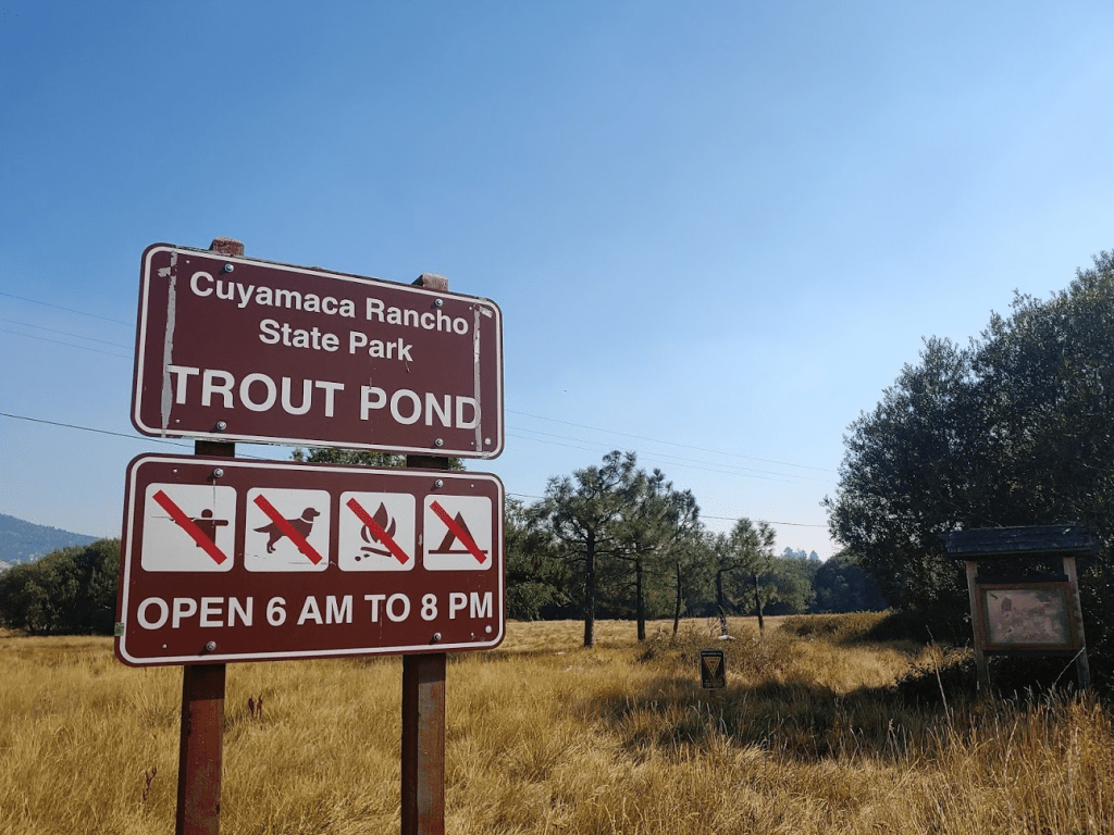
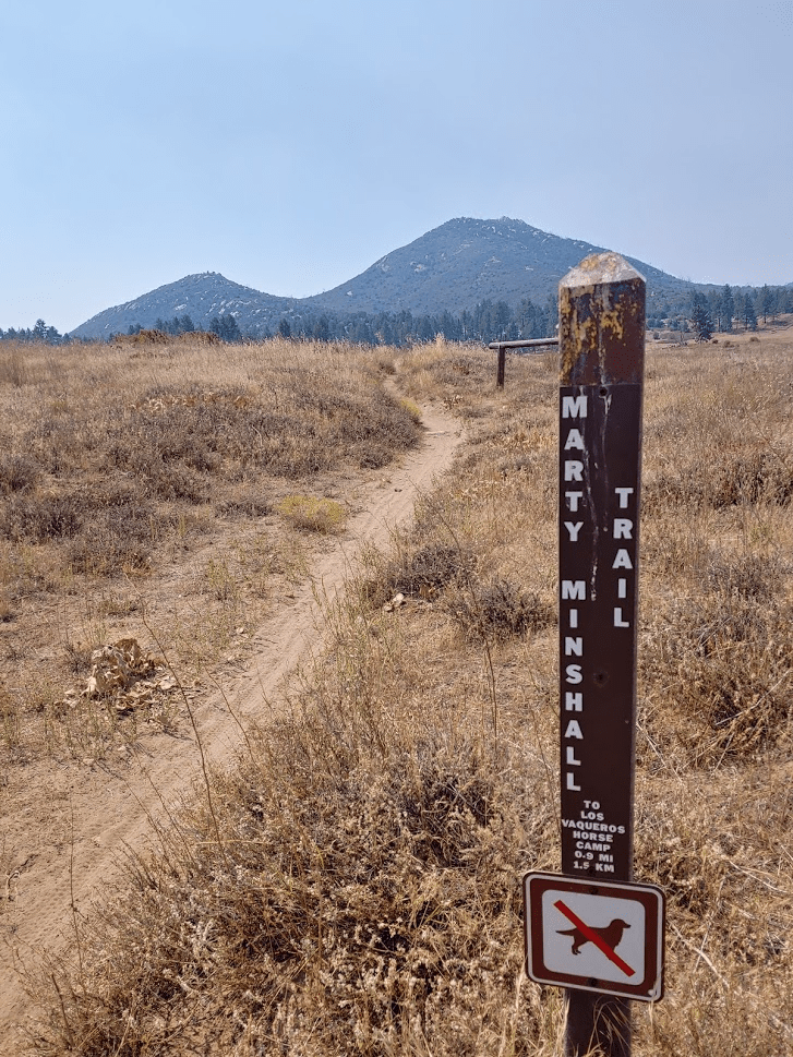
My 3rd and final hike of the day would be to grab 2 more peaks, Fletcher Island High Point (4680 feet) and Little Stonewall Peak (5250 feet). I drove 3.5 miles north and parked at another roadside trailhead in the park – Trout Pond. I started hiking at 9:42am.
I started hiking east along the Marty Minshall Trail.

At 0.4 mile I reached a junction with the Los Caballos Trail. I continued left on the Marty Minshall Trail as it veers north towards Lake Cuyamaca. I passed a sign indicating that hunting occurs here.

As the trail enters the woods, I passed a junction with the Stonewall Mine Trail. The trees were beautiful here.
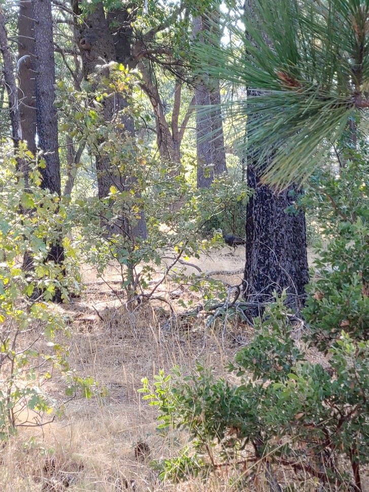
At around 1 mile I left the Marty Minshall Trail and went north towards the island. I was no longer on state park land here. I saw 2 turkeys at this point, but I only got this vague picture of one of them.
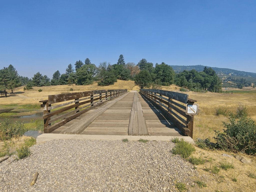
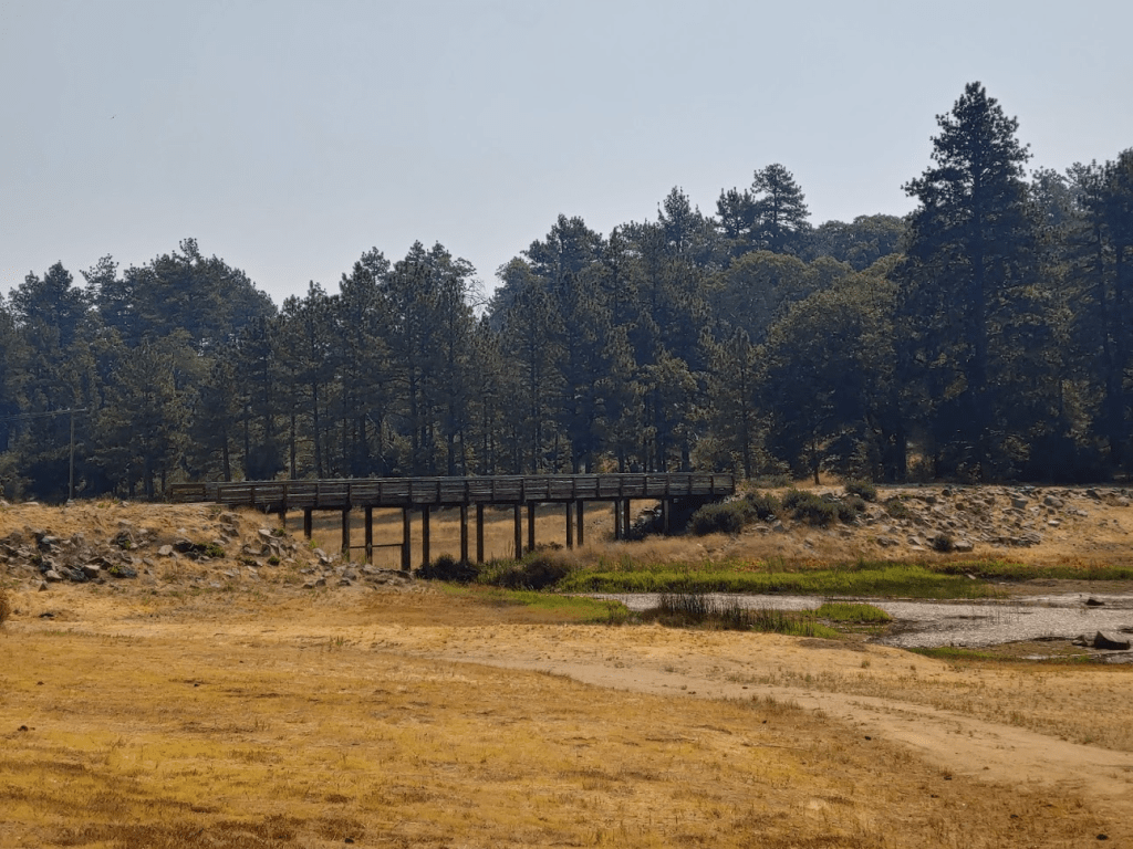
I then crossed the bridge to Fletcher Island. I’m not sure this counts as a real island since it’s really just marshes that the bridge crosses over.
Once on the other side of the bridge, it was just a short walk to the high point of the island. A wide trail leads from the shore to the top.
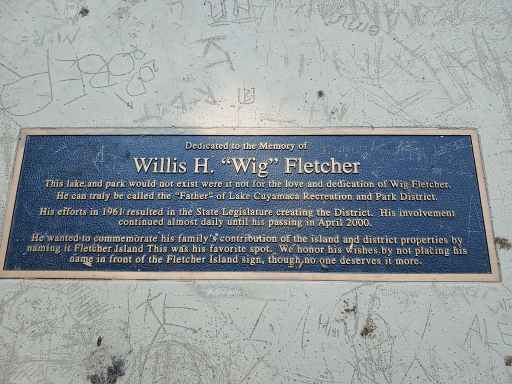
I reached the top at 10:09am at 1.17 miles! As had become a theme today, there were no views on the summit due to tree cover. There is a single picnic table on the summit with a plaque commemorating the island’s namesake.
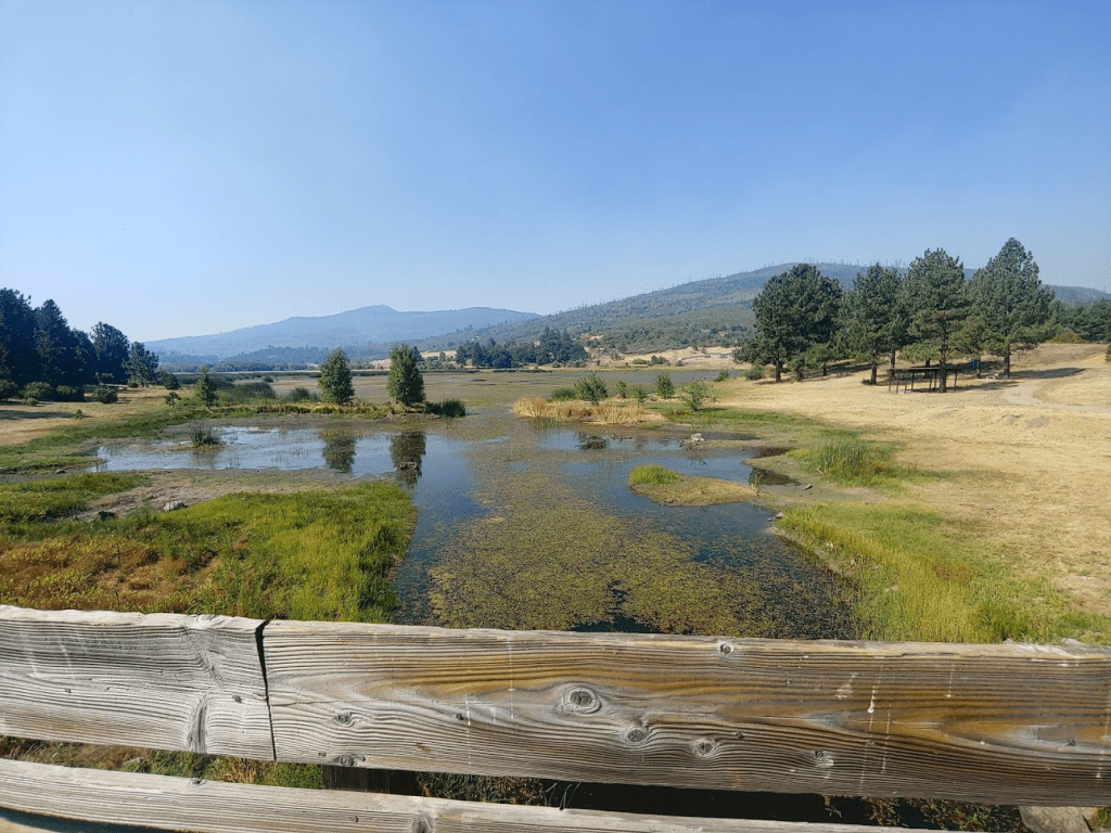
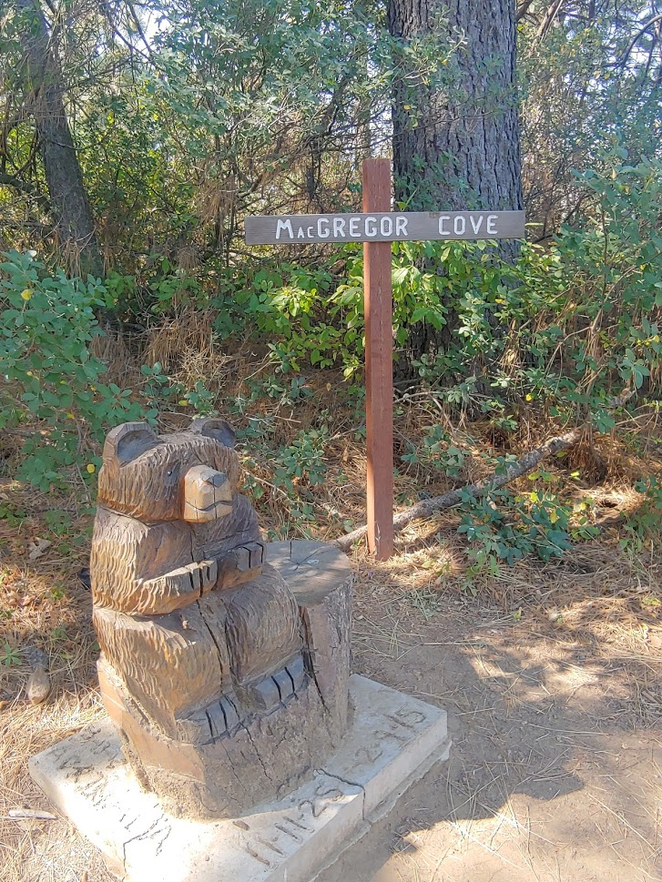
I then hiked down to the shore on the other side of the island, hoping to get some good views of the lake. There was actually a little beach there, and a sign naming the place McGregor Cove.
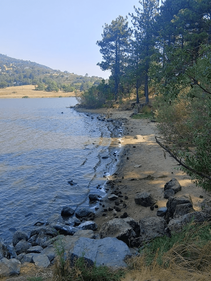
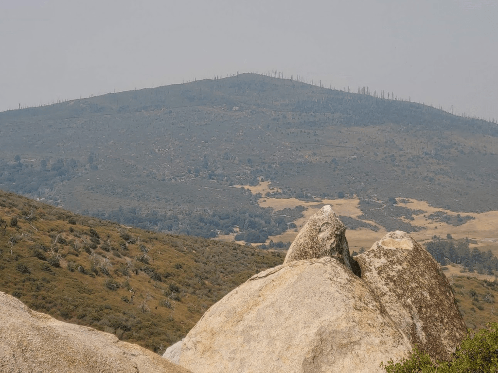
As expected, the views were pretty awesome. This is looking directly across the lake to North Peak and the small community of Cuyamaca.
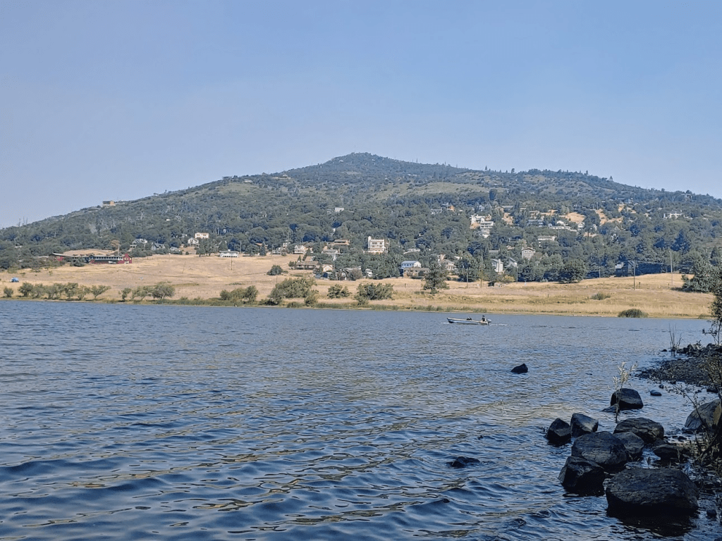
I sat on the beach and had a nice snack while enjoying the cool lake breeze. I saw maybe 4-5 boats out on the lake, mostly small fishing boats and one pontoon boat. I then walked along the shore for a bit to get views towards the other directions. This is Middle Peak rising above the Lake Cuyamaca Restaurant.

After I had enough of the lake, I followed a path around the west side of the island back to the bridge, rather than going up and over the high point.
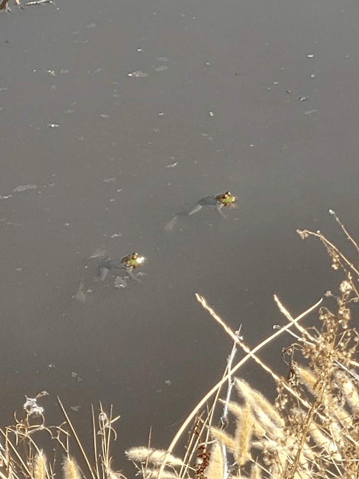
As I was crossing the bridge, I stopped to look down into the water. I saw some things jumping around and realized they were frogs! I then crossed the bridge and hiked down to the water to get a better look. They were actually pretty big.
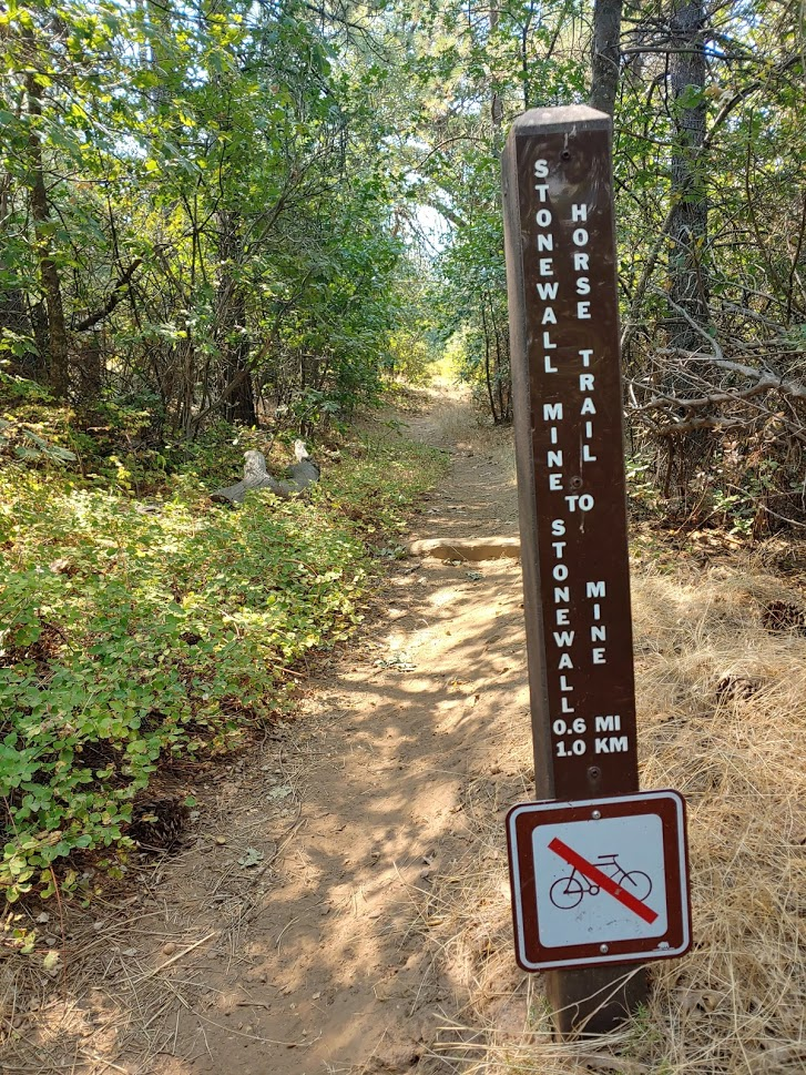
As I was climbing back up to the trail, I startled 2 big turkeys who scooted away and then flew into a nearby tree. I don’t see turkeys fly very often! I thought to myself there must be tons of turkeys in the state park because I feel like I always see them when I hike here. Anyway, I reentered state park property, went right on the Marty Minshall Trail, and then an immediate left onto the Stonewall Mine Horse Trail at 1.97 miles.
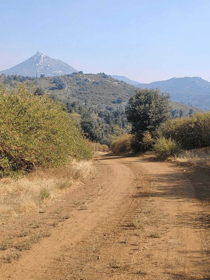
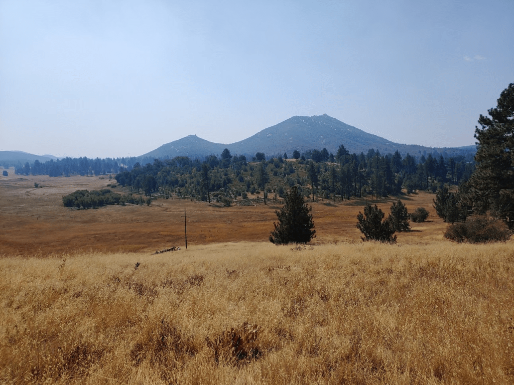
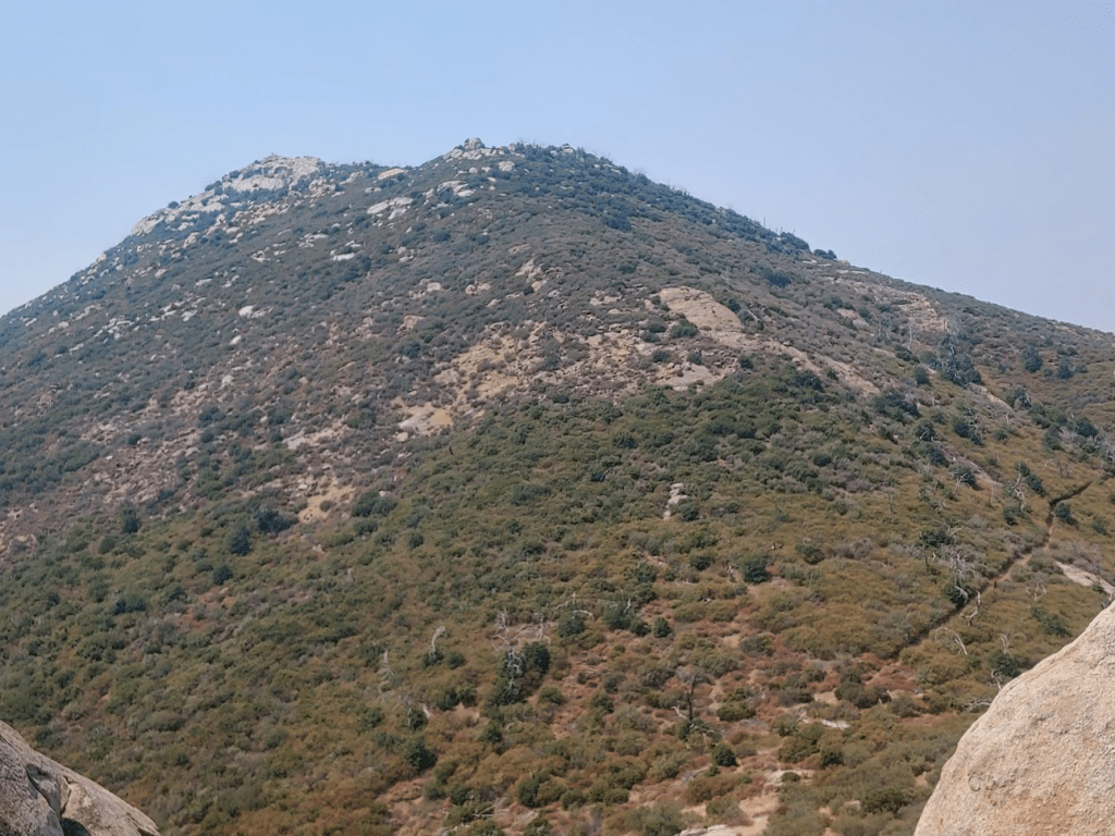
I turned right at a junction at 2.13 miles, and then reached another junction at 2.28 miles. Here there was a small exhibit on the birds in the area, as well as excellent views to the south. Stonewall Peak (right) is an impressive looking peak, and probably the most popular peak to climb in the area. A well maintained trail goes to the summit starting from Paso Picacho Campground. I had climbed Stonewall Peak about a year and a half ago. The smaller peak on the left is Little Stonewall Peak, my final peak for the day.
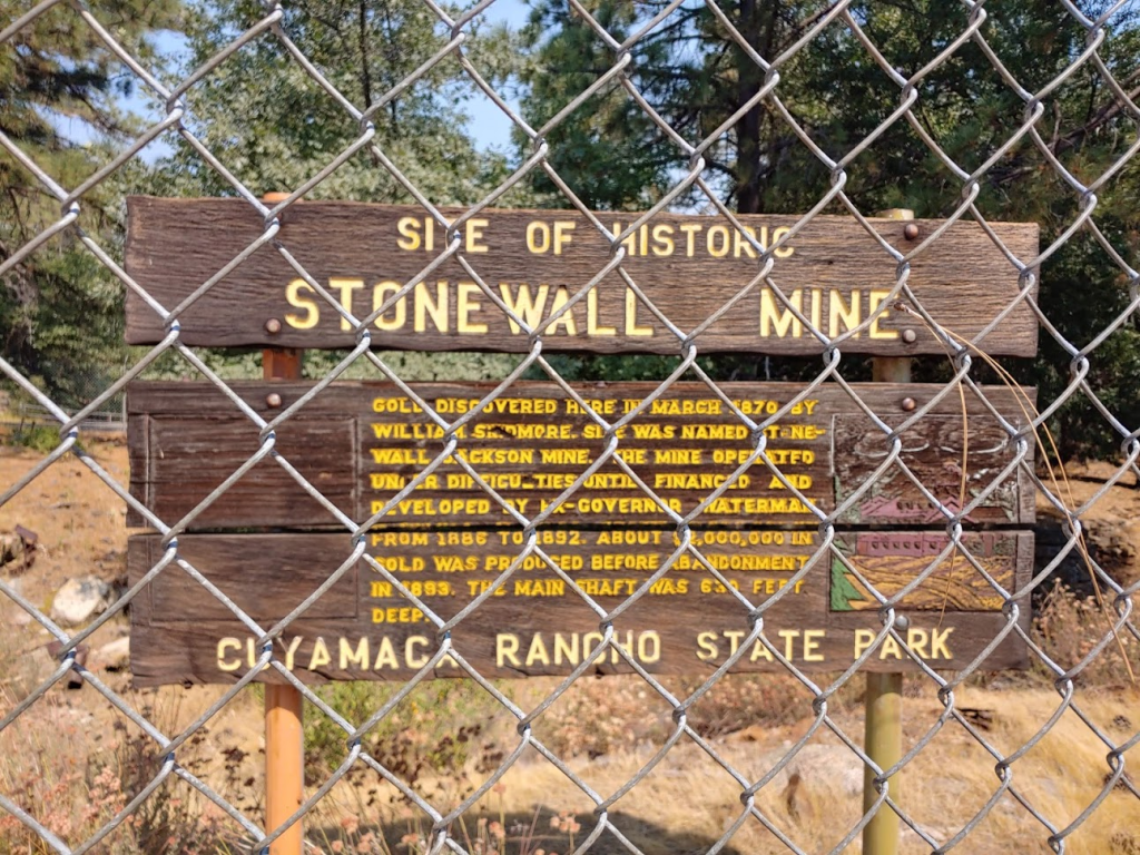
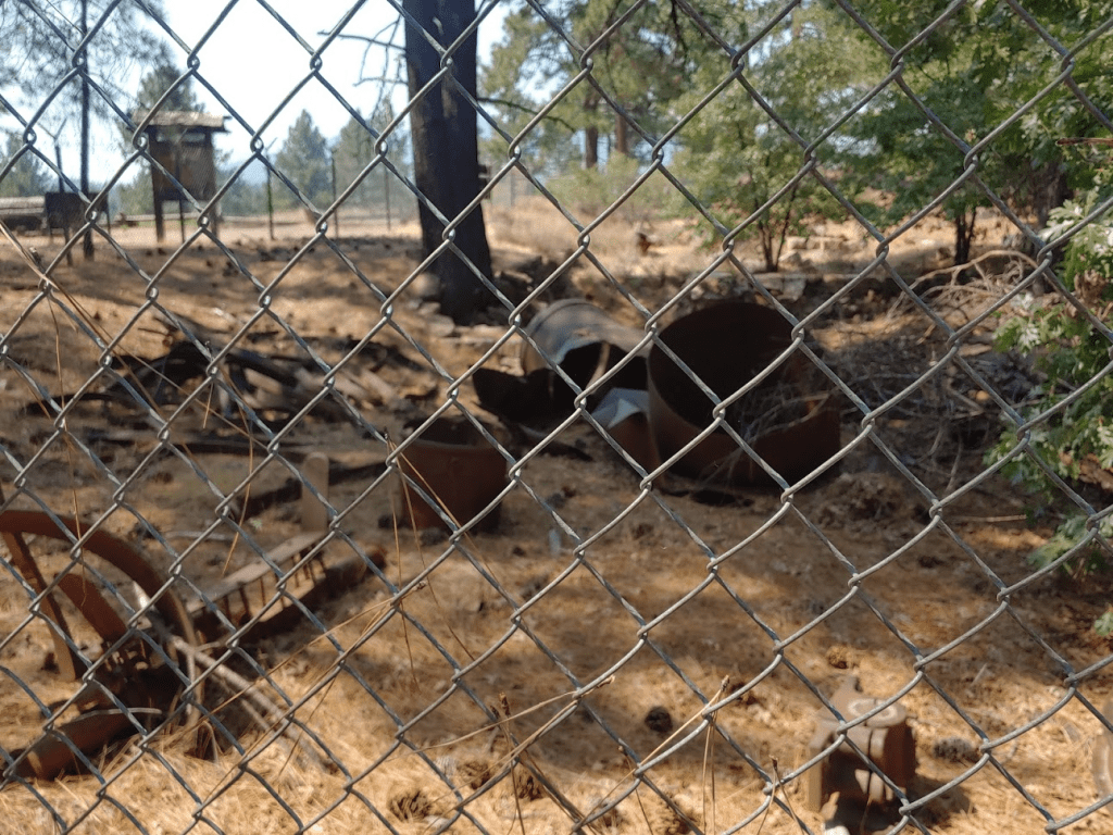
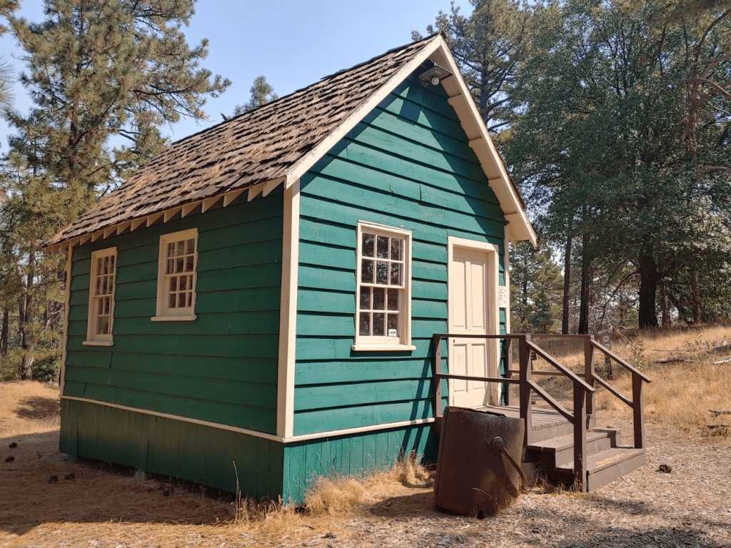
I continued east on the Stonewall Mine Trail and eventually reached the mine at 2.62 miles. The Stonewall Mine was actually very cool. The mine itself and some old rusty equipment were in a fenced-in area. There were some exhibits explaining the history of the mine. There was also an old miners cabin nearby. I looked through the windows and there appeared to be more exhibits inside, but the door was locked so I couldn’t go in.
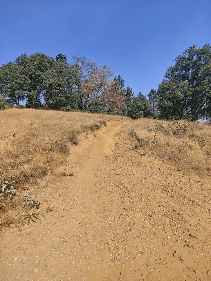
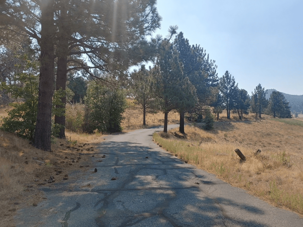
After exploring the mine area, I continued towards Little Stonewall. There is actually a paved road from the highway to the mine that ends in a small parking area. I followed this road a short way to the south.
I turned left at a junction and then right onto the Marty Minshall Trail again at 3 miles.
I continued south on the trail. It parallels a road for a short way and then bends away from it. At 3.58 miles I left the trail and hiked through some tall grass to the west before reaching another trail 3.72 miles (I was starting to lose track of which trail was which at this point). I saw a deer in the distance, but it ran away before I could get a picture. I followed the trail as it bends to the north and then back to the south and then eventually intersects the Stonewall Peak Trail at 4.18 miles.
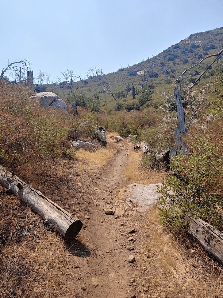
Most of this hike had been pretty flat, but I now was finally gaining some elevation. It was really starting to feel hot, so I was glad that I was almost done. At 4.84 miles I reached the saddle between Stonewall and Little Stonewall. I left the trail and climbed up Little Stonewall to the east.

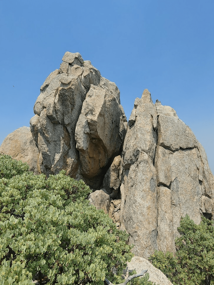
I was able to find a relatively brush free route by following the GPS tracks of previous hikers. The summit block was a fun class 3 climb. I had to wedge myself between the 2 slabs pictured below and hoist myself up onto the higher left slab.
I reached the summit at 11:54am at 5.07 miles!
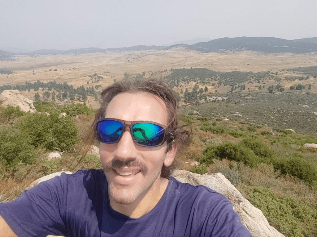
Thankfully, the smoke hadn’t been anywhere near as bad on this hike as on the previous two. It still obscured the distant peaks though.
I could see North Peak rising above Lake Cuyamaca.

Middle Peak:
Stonewall Peak:
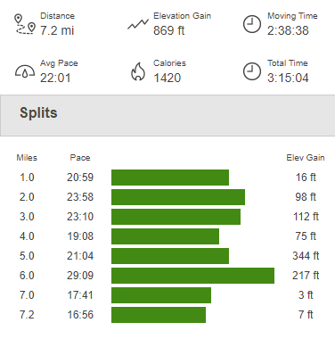
I did not find a register and there are no survey markers on this peak. I began the descent at 12:11pm. It was very hot now and my water was warm, so it was time to get back to the car. I climbed back down to the Stonewall Peak Trail and went north. I went left on the California Riding and Hiking Trail, then right on the Los Caballos Trail, and then finally left on the Marty Minshall Trail. I passed the only other hiker I saw all day just before the trailhead. I guess the heat and smoke had scared most people away. I reached the car at 12:58pm. This hike totaled 7.2 miles, 869 feet elevation gain, and 3:15:04 total time.