Cucamonga Peak is a very popular 8859 foot peak located in the San Gabriel Mountains in Angeles National Forest. It is most commonly reached via a well maintained 6 mile trail that begins from the always crowded Icehouse Canyon Trailhead. I had climbed the peak in June 2018 in what was my 2nd ever hike in the San Gabriel Mountains (my first was Mount Baldy in December 2017). Etiwanda Peak is an 8662 foot peak located about a mile northeast of Cucamonga Peak. The standard route to Etiwanda involves climbing Cucamonga Peak first and then continuing on the trail for the last mile to the summit. I hadn’t climbed Etiwanda before so I would have to reclimb Cucamonga in order to reach it. I wasn’t too disappointed about that though, since the trail to Cucamonga is absolutely beautiful. I arrived at the trailhead around 6:30am and was surprised to find parking. My previous experience with Icehouse Canyon was that the parking lot fills up before 6am and you have to park a quarter mile down the road. I guess the crowds really thin out after Labor Day. I began hiking at 6:43am from 4978 feet above sea level.

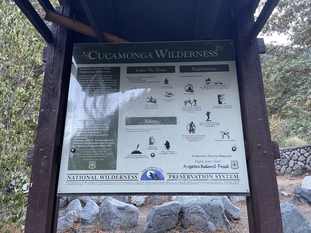
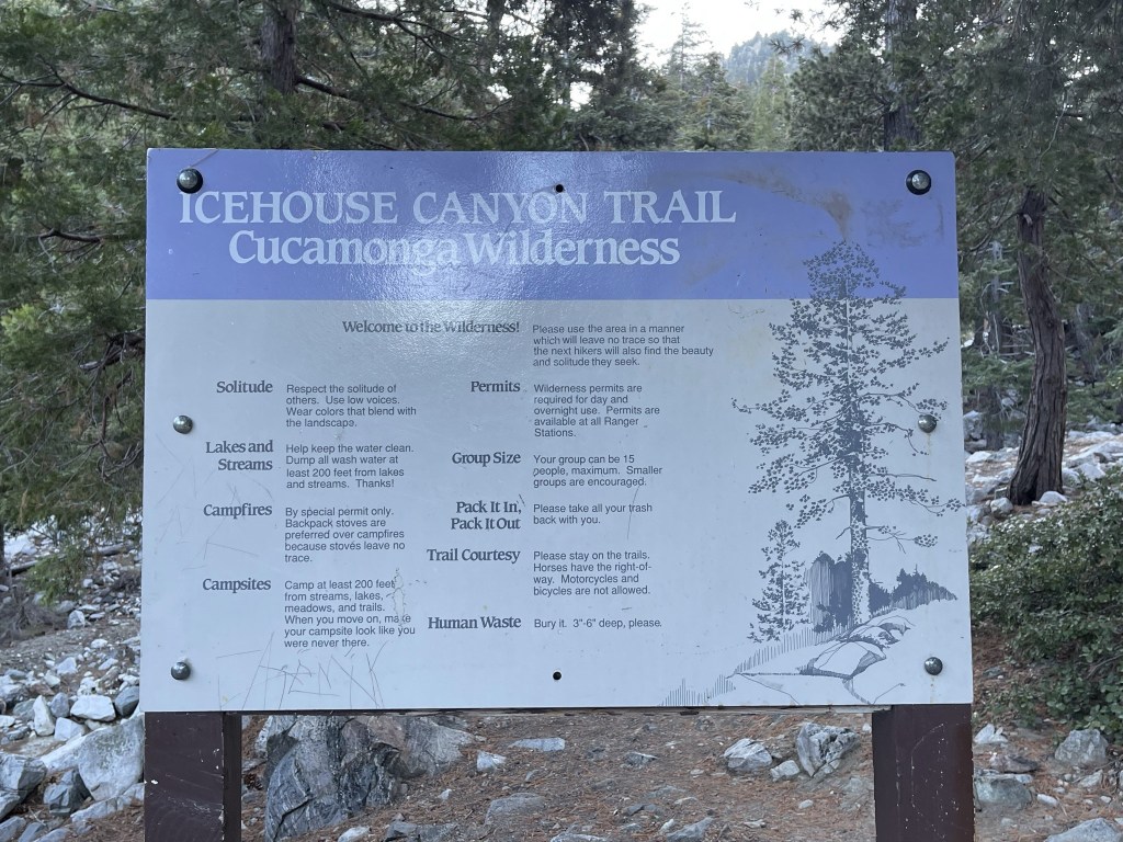
You must fill out a free self-service wilderness permit at the trailhead, so I did that before I hit the trail. I put the permit in the drop box and kept the carbon copy in my pocket.
The trail initially went by some log cabins, which are an eyesore if you ask me.

The weather was very nice as I got started. Perfect temperature and not a cloud in the sky. I crossed over a bridge early on in the hike.

There are power lines above the trail for the cabins. I could live without these as well.
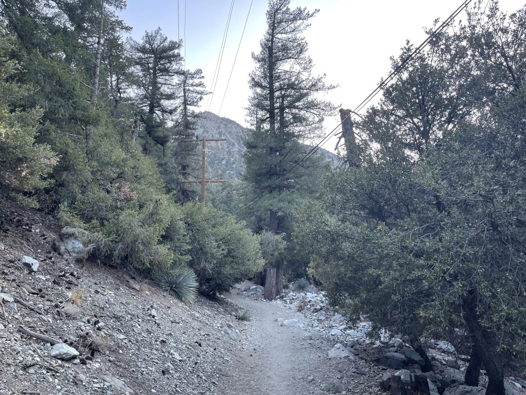
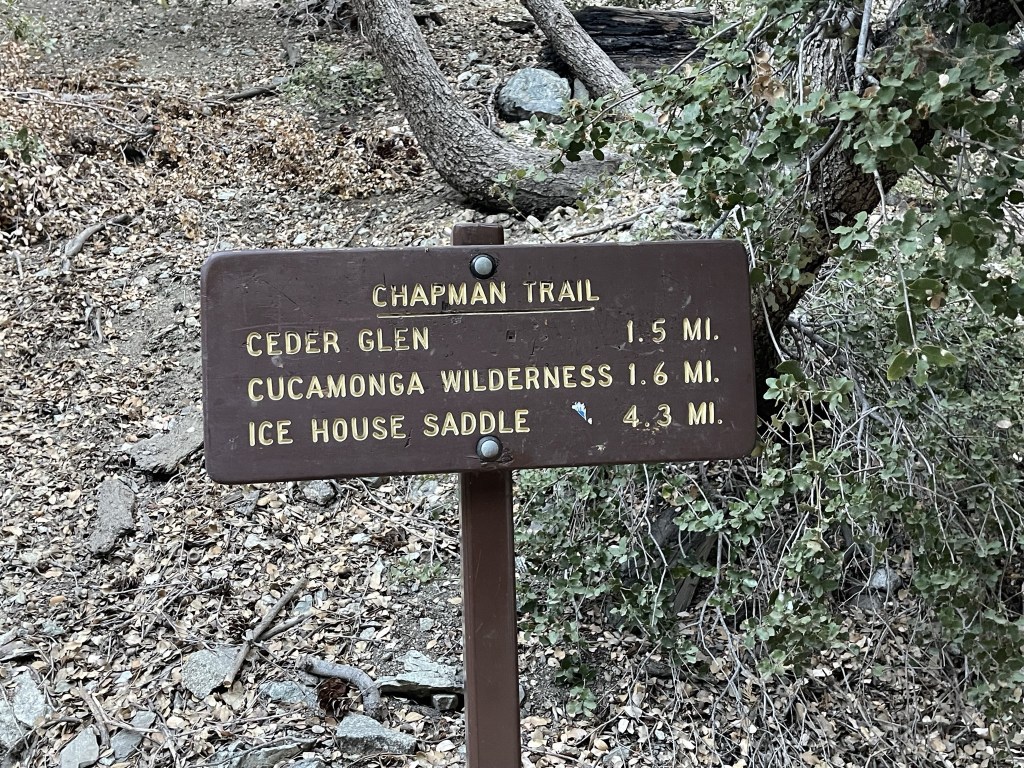
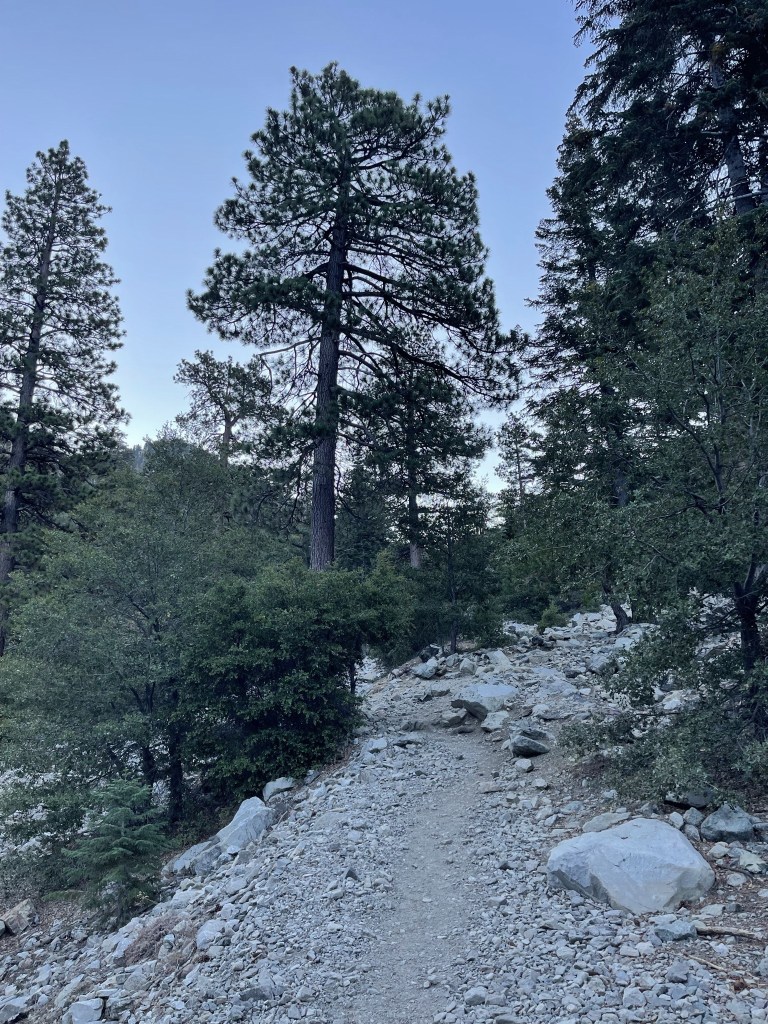
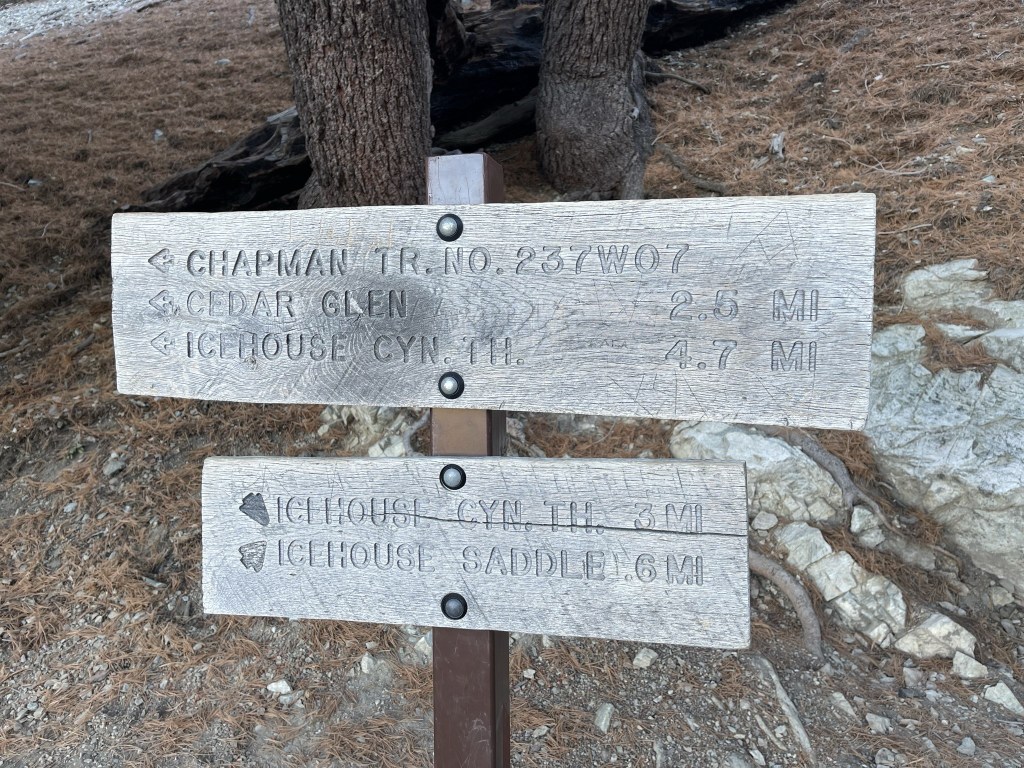
Despite the manmade intrusions, the area is really beautiful. The trail paralleled Icehouse Creek for the first few miles which was still flowing this time of year. At 1 mile I reached a turnoff for the Chapman Trail. The Chapman Trail eventually rejoins the main trail further up, but it adds over 2 miles to the hike. I’ve heard it’s a worthwhile detour, but I’ve never actually had the time or the energy to add the extra loop.
I continued east on the well maintained trail.
At 1.6 miles I entered the Cucamonga Wilderness. No more cabins and power lines!
At 1.9 miles I saw 3 deer off to the right, including this buck.

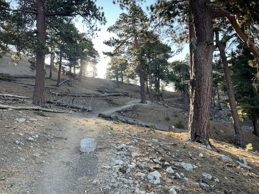
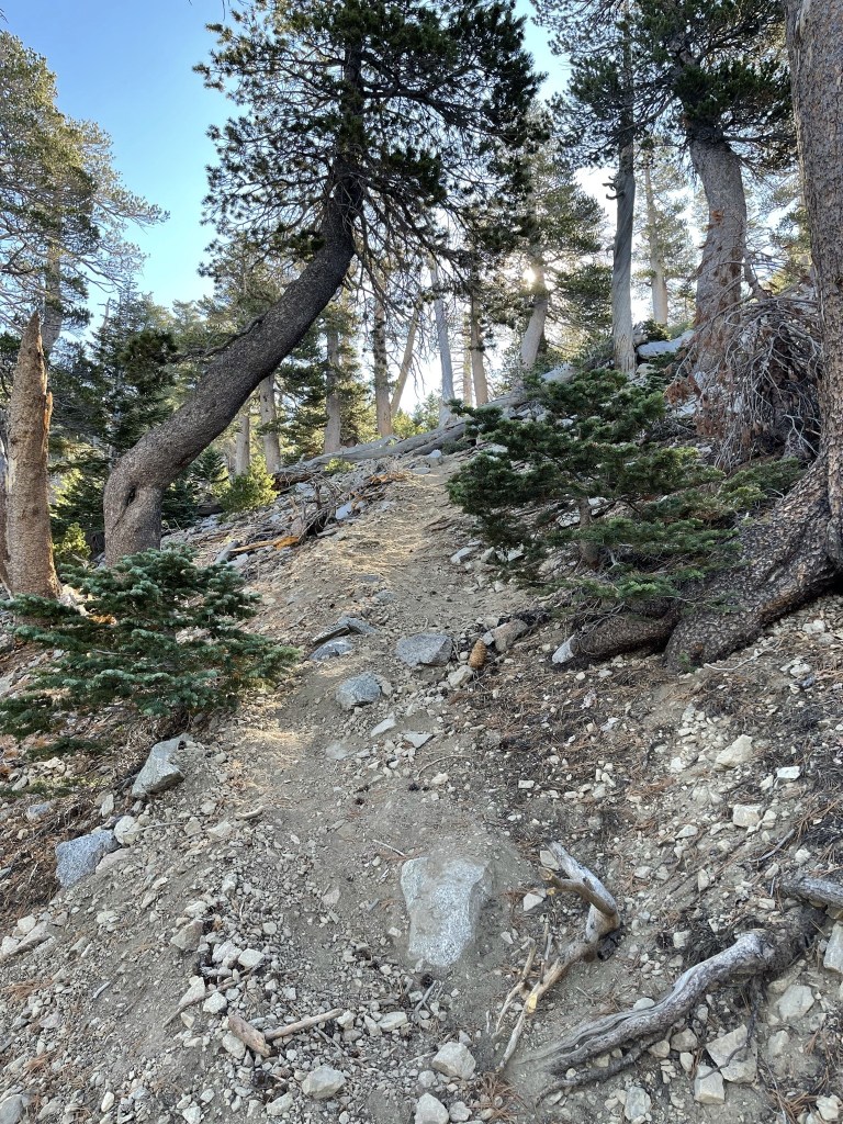
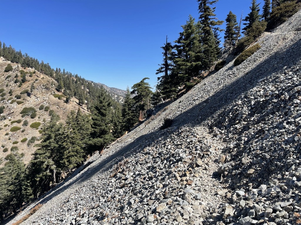
Around 2 miles the trail began to ascend the left side of the canyon.
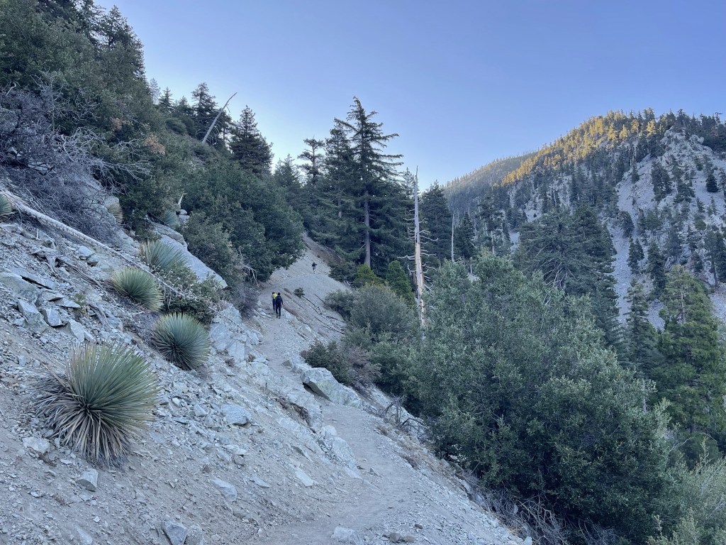
The trail made a few switchbacks as it continued to the east towards Icehouse Saddle.

At 2.9 miles I reached the other end of the Chapman Trail.
From there it wasn’t far to Icehouse Saddle.
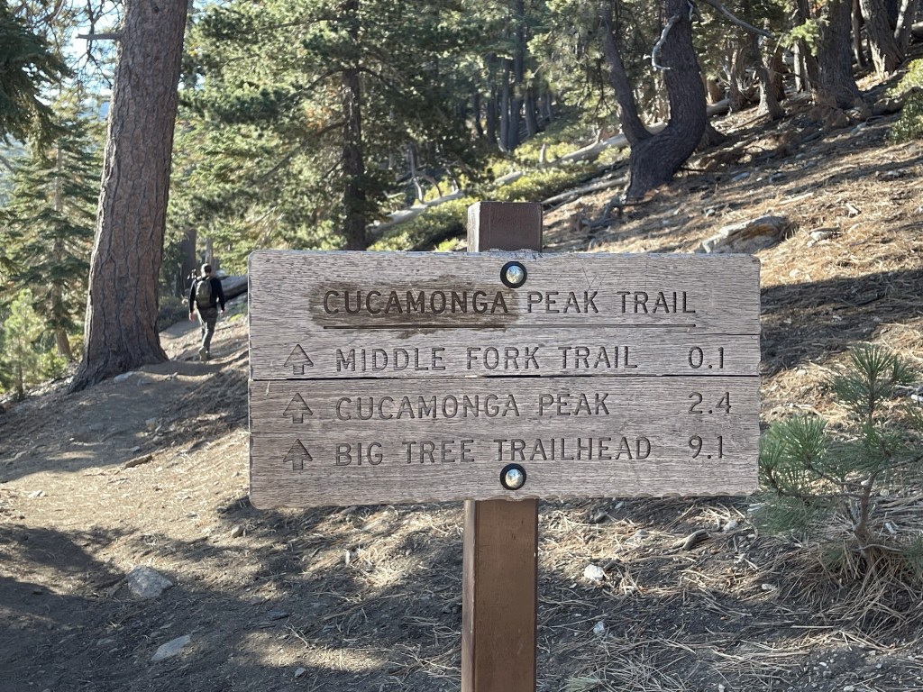
I reached Icehouse Saddle at 3.5 miles at just over 7500 feet. There are multiple trails that split off from the saddle. One could hike southwest to Ontario and Bighorn Peaks, north to Thunder, Telegraph, and Timber Peaks (Three T’s), northeast down to Lytle Creek, or southeast to Cucamonga and Etiwanda Peaks. Many hikers simply stop at the saddle and head back. It is also a popular place for backpackers to spend the night.

I had previously been on every route mentioned above except for the Middle Fork Trail down to Lytle Creek. I hiked southeast towards Cucamonga Peak.
The trail descended slightly beyond the saddle.
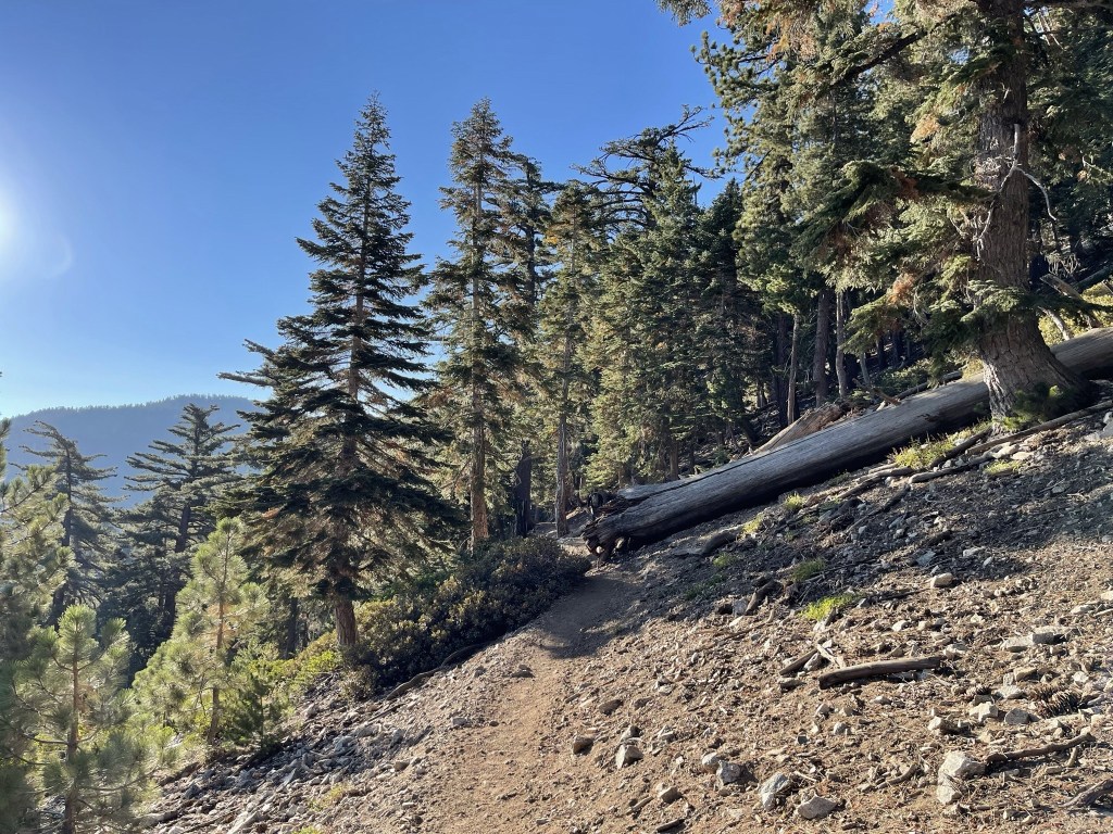
I had a good view of the Middle Fork off to the left.

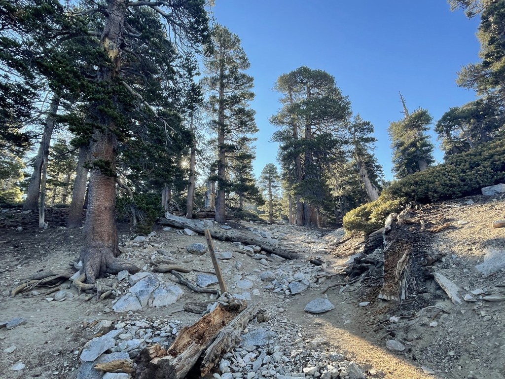
The trail made its way around the east side of Bighorn Peak as it approached the saddle between Bighorn and Cucamonga.

Beyond the saddle the trail made steep switchbacks up the northwest side of Cucamonga. I began to see some hikers already descending.

There were multiple steep use trails that cut the switchbacks in this section. I accidentally took some of these shortcuts without meaning to.

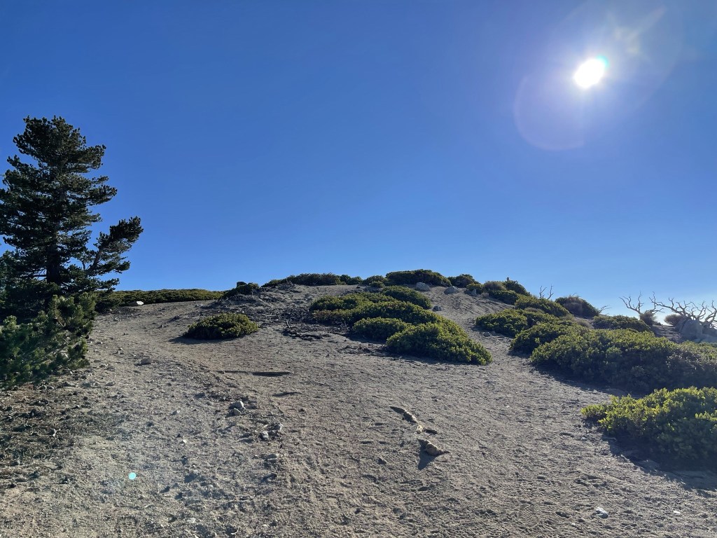
I was close to the summit now.
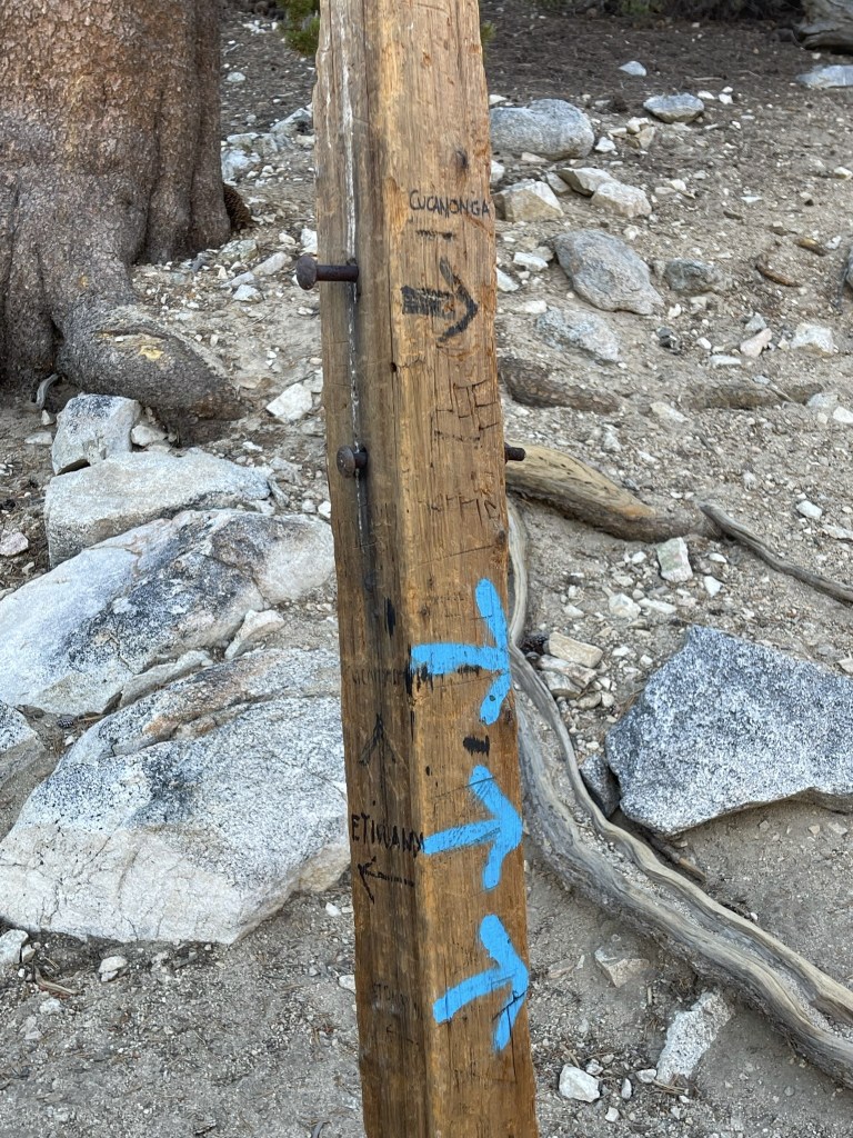
At 5.6 miles I reached the turnoff for Cucamonga which was marked by a wooden post.
Almost there!
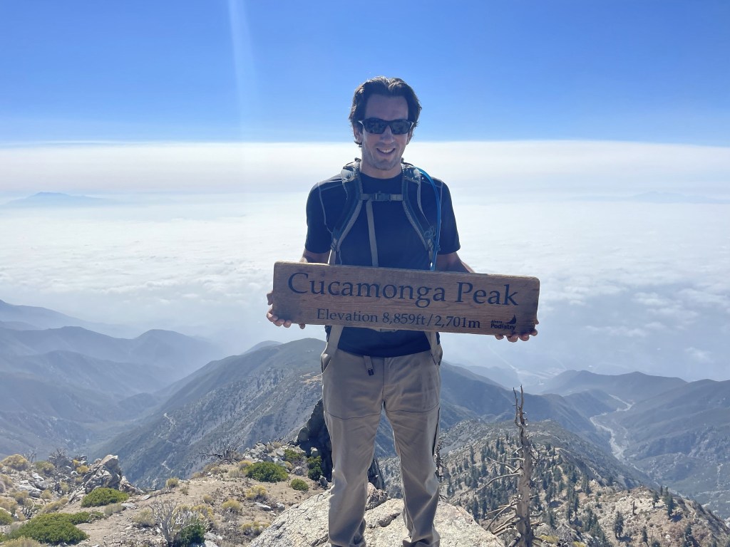
I reached Cucamonga Peak at 8:58am at 5.8 miles! There were 8-10 other hikers on the summit when I arrived. Etiwanda Peak was visible about a mile to the northeast.

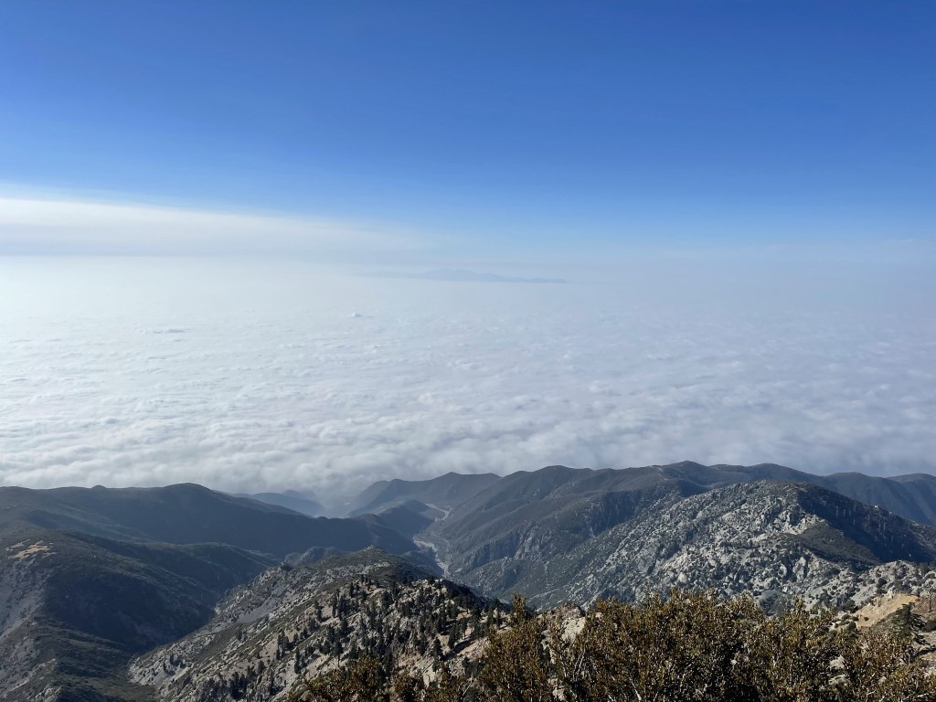
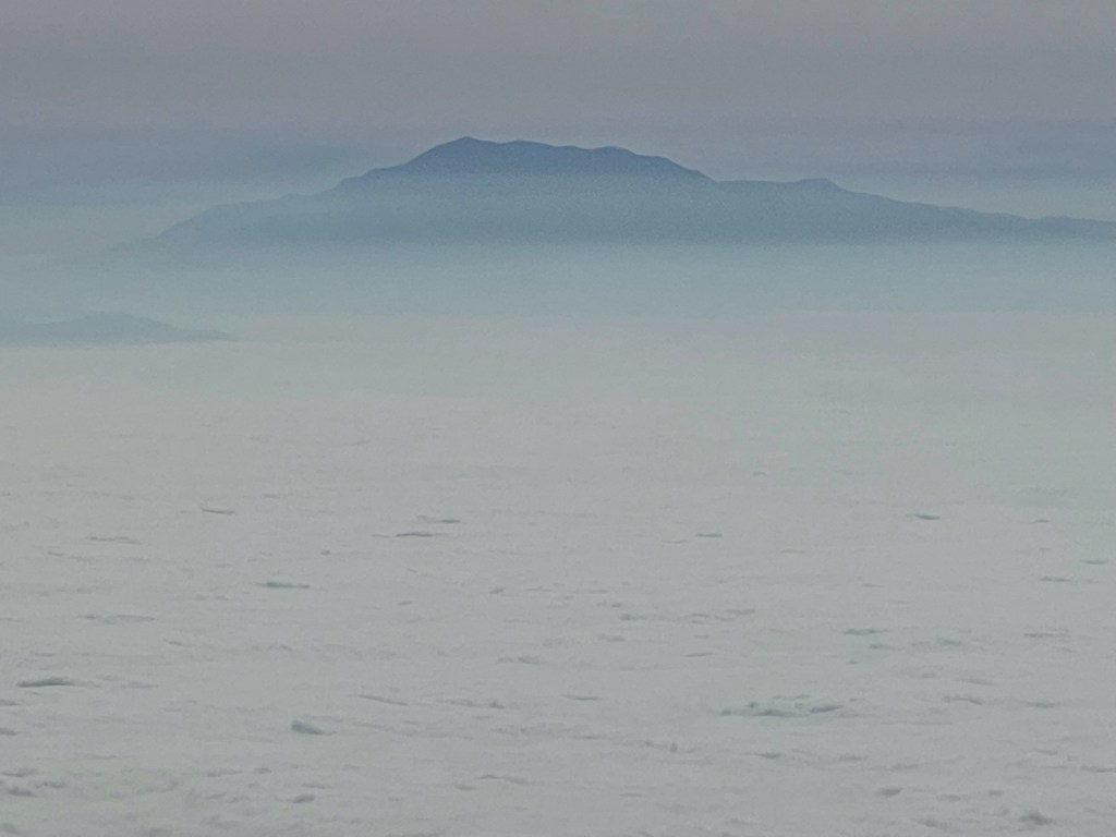
I could barely make out Santiago and Modjeska Peaks above the marine layer to the south.
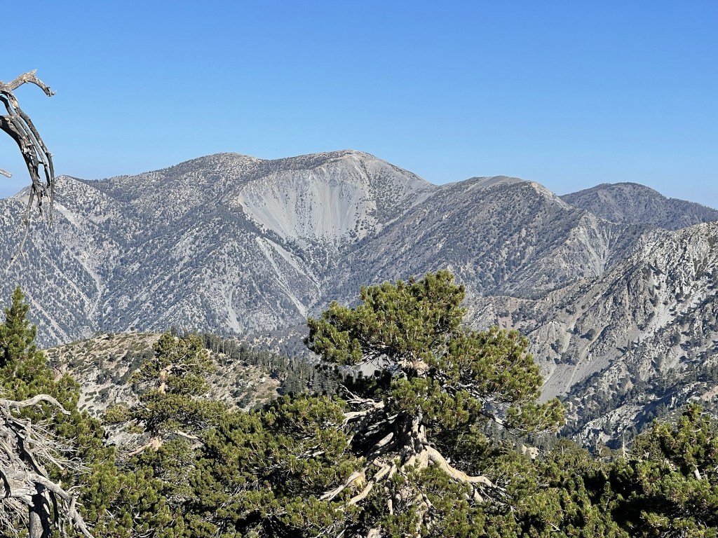
Mount Baldy looked impressive as usual to the northwest.
I descended northeast off the summit via a use trail that led back down to the main trail.

I picked up the main trail a short while later.

At 6.8 miles I reached the turnoff for Etiwanda.
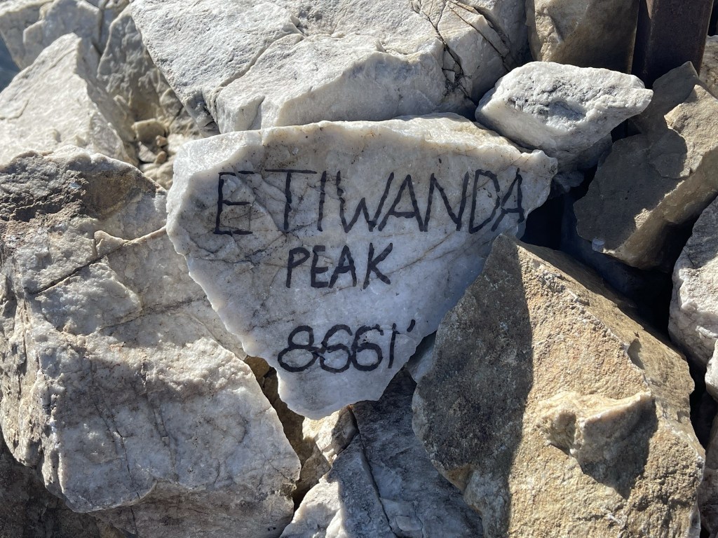
It was a short but steep climb to the summit from there. I reached the top at 9:29am at 6.9 miles!
It was nice to have the summit to myself after Cucamonga’s crowded summit. I signed the register was placed in July 2019. The most recent entry was from the day before. I had a good view of Cucamonga back to the southwest.

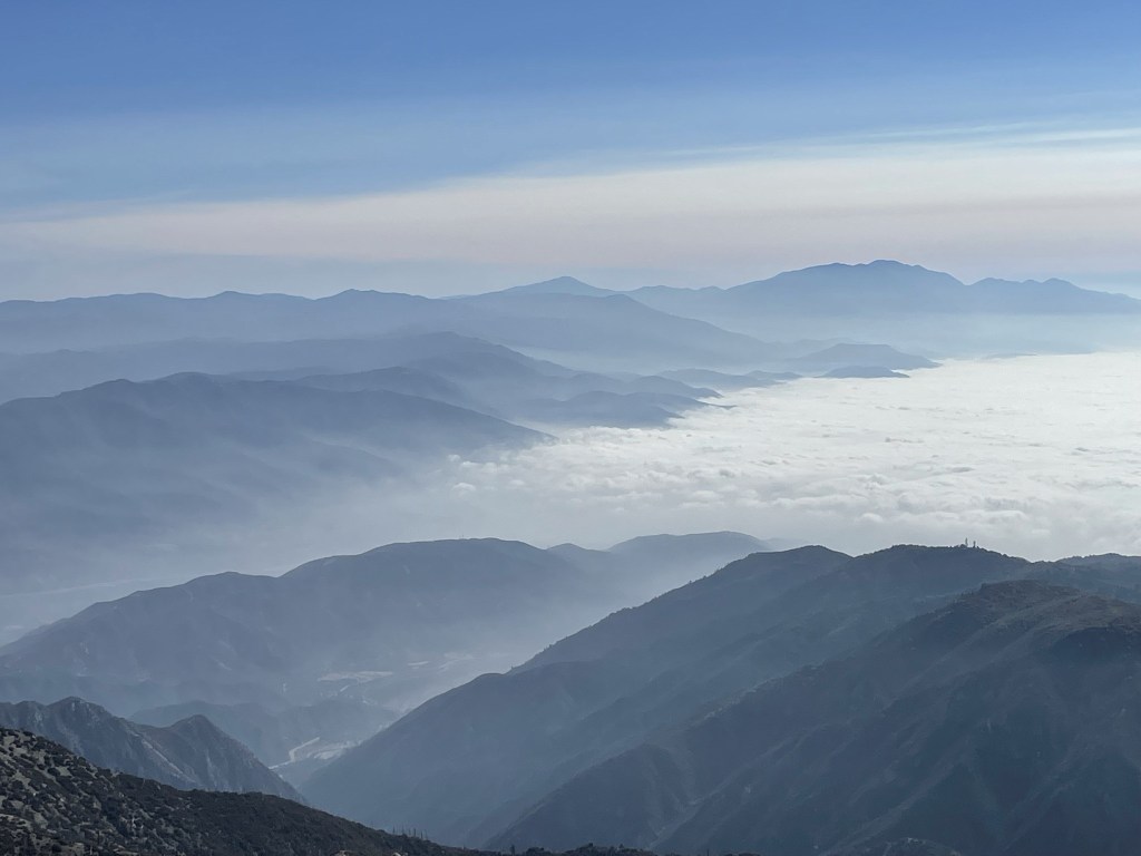
The San Bernardino Mountains rose above the clouds to the east. San Gorgonio is on the far right.
San Jacinto could also be seen to the southeast.
I began descending after a 30 minute break.

I decided to reclimb Cucamonga instead of taking the main trail around. I got someone to take a picture of me holding the sign.
I reached the main trail again and descended back to Icehouse Saddle.
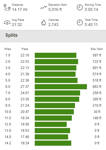
I reached Icehouse Saddle again at 10.5 miles. From there it was an easy hike back to the trailhead. The trail was much more crowded than it had been early in the morning but still not as bad as a summer weekend. It also started to get very hazy as I neared the end of my hike. I was glad the skies were mostly clear throughout the morning! I reached the car once more at 12:23pm. This hike totaled 14.17 miles, 5016 feet elevation gain, and 5:40:11 total time.