Collins Benchmark (4559 feet) and Knob Benchmark (3431 feet) are 2 peaks on the San Diego 100 Peaks List in northwest Anza Borrego Desert State Park. The forecast was calling for cool temperatures so I decided it would be a good day for some desert hiking. It was nearly May so I knew my desert hiking days would be coming to an end very soon. I was at 93/100 on the San Diego 100 Peaks List so I was getting excited that I was nearly done. Unfortunately, all of the remaining peaks I have to climb are in the desert so it is unlikely I will finish before the temps warm up and the desert becomes unhikable for the next 6+ months. Collins and Knob, along with Palms and Elder Benchmarks, are part of a group of 4 benchmarks that are very close together above the Collins Valley. They can be climbed together from the eastern side as a very long day hike or overnight backpack. I attempted this route in March, but I turned around after only climbing Palms and Elder due to a combination of rough terrain, heat, and lack of water. Thankfully, Collins and Knob can also be climbed from the west starting from Lost Valley Road. From Highway 79, I went east on Chihuahua Valley Road for 6.3 miles. At this point, Chihuahua Valley Road makes a sharp 90 degree bend to the south, but I continued straight onto Lost Valley Road (Google Maps refers to it as Cruces Road here). I continued on Lost Valley Road for 7.2 miles and parked at a locked gate. Lost Valley Road is well graded dirt and is probably drivable in a passenger car. I started hiking at 6:45am from 5275 feet above sea level.

It was 33 degrees when I got started so I bundled up to stay warm. I went around the locked gate and continued hiking east along the road.

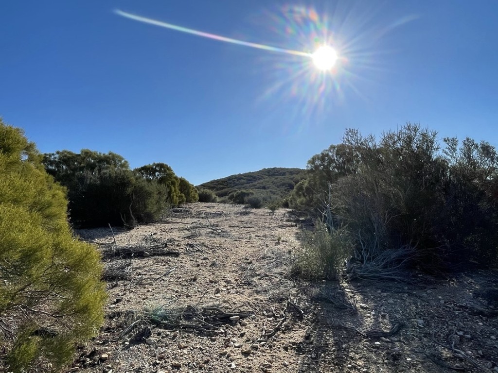
At 1.3 miles I left the road and entered the brush. I had already descended a couple hundred feet to this point. This would be an “inverted hike”, as the trailhead was the highest point of the day and the 2 peaks were quite a bit lower.

Around this point I noticed that my lower back was soaking wet. I took off my backpack and realized that my 3 Liter hydration bladder had been leaking. It had already lost about half its contents. Thankfully I had brought 2 additional 1 Liter water bottles with me, so I still had about 3.5 Liters left. I was a little anxious since I was anticipating the hike taking 8-9 hours, and I wasn’t sure that would be enough water, especially if it warmed up in the midday sun. I had 1 extra water bottle in the car, so I briefly considered turning back to get it. I thought it over for a minute or 2 but decided that I probably had enough so I kept going. The bladder was brand new, so I wasn’t sure where/how it was leaking. To be safe, I flipped it over so that the hose was on top. This was annoying because I could no longer drink from it while walking, but I couldn’t risk losing any more water. Frustrated, I continued hiking northeast through the brush.

I made pretty good progress through the undulating terrain. It was definitely brushy, but it was never too thick to really slow me down. This area is in the transition zone between chapparal and desert, so the brush was nowhere near as thick as areas closer to the coast. At 2.5 miles I reached an old firebreak.

The firebreak was clearly very old, but it did make the hike easier. The firebreak went north and then curved around to the east. It was a bit difficult to follow at times, so I had to check my GPS frequently.
At 3.3 miles I reached a minor peak at elevation 4809. This peak is not on Peakbagger (yet), but it is marked on the topo map with a spot elevation. I was surprised to find a register underneath the summit rock. It had been placed in 2016 with only one other entry in 2017. I’m guessing since the peak is not on Peakbagger, most people just hike right over it without stopping to look around. After a short break, I hiked south along a broad ridgeline.

I curved to the east along the ridge and then descended north into a small meadow.

I bent to the east again and continued hiking through rolling terrain.

I made a steep ascent to an unnamed peak of elevation 4695.

I reached Peak 4695 at 9:03am at 5.3 miles. I located the register but there was no pen, so I was unable to sign it. I normally carry a pen in my backpack just in case, but I must have lost it on a recent hike. The register dated all the way back to 1979 and was most recently signed November 27, 2020.

There was an old rake on the summit.

To the west I could see Combs Peak, one of the highest named summits in San Diego County.

I got my first look at Collins about a mile to the east.
The route was pretty simple from here – I just followed the ridgeline all the way to Collins. The brush had really thinned out now, so the hiking was pretty easy. I ascended a false summit on the way.

I reached the top of the false summit and then descended to a minor saddle.

The final push was very steep!
I reached the top and then climbed the low class 3 summit block.


I reached the summit at 9:42am at 6.3 miles!

I looked around for a while but did not locate the register. This surprised me because a trip report from 2016 had led me to believe there were 2 registers, one on top of the summit block and one below it. I found a benchmark and a reference marker located on some boulders near the summit block.


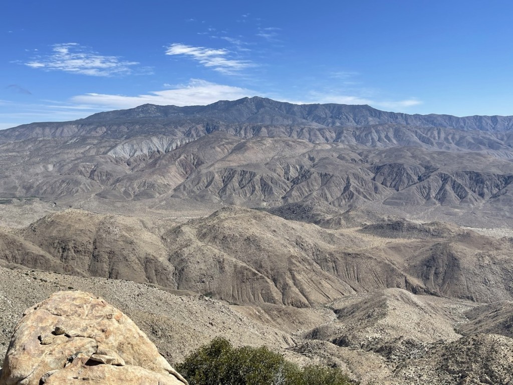
It was a perfectly clear day, so I had great views. San Jacinto was hidden behind a thin cloud layer.

Toro Peak looked impressive to the north.
To the east I could see the Borrego Valley with the Salton Sea way off in the distance.

I continued to Knob after a 25 minute break. I descended back to the saddle between Collins and the false summit I had hiked over.

I found a pretty beavertail in bloom.

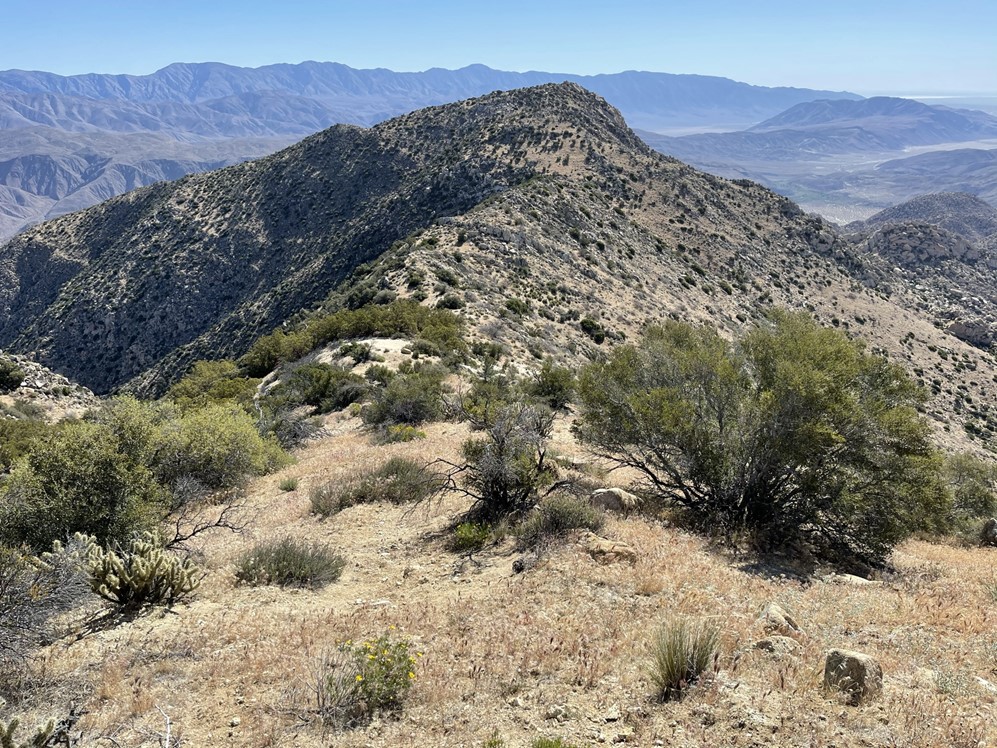
Once I reached the saddle, I turned south and began the steep descent down to Knob. Knob is the small hill in the left center of the picture below.

The slope was steep and sandy which made for a quick descent. I was glad I had done the peaks in this order because it would be very difficult to ascend Collins from this direction. The terrain became brushier and rockier as I approached Knob.

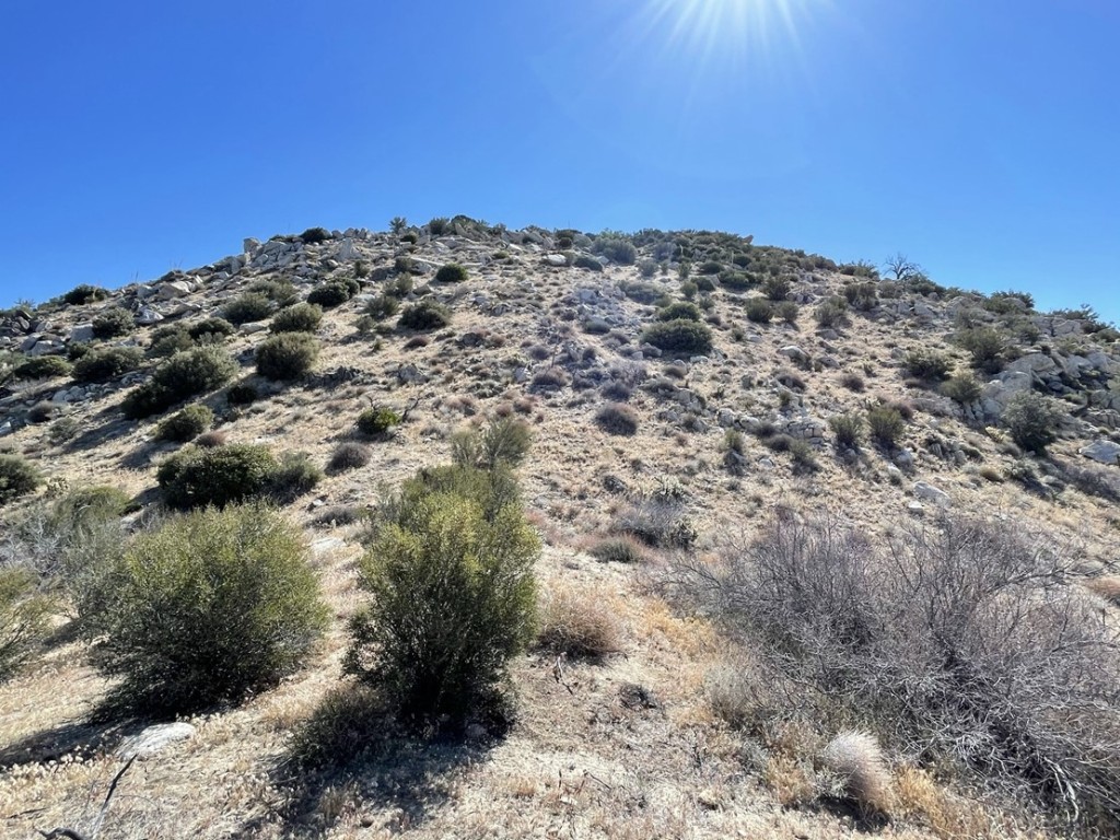
I reached a low point at around 3000 feet and then had a 400 hundred foot climb to Knob.


I found myself on some fun class 3 terrain just below the summit. This could be avoided by approaching slightly more to the south.

I reached the summit at 10:50am at 7.5 miles! I signed the register which had been placed in 2019. The previous entry was from March 20th. I located the benchmark.

I was over 1000 feet lower than Collins, so the views weren’t quite as stellar. Collins certainly looked impressive from below. My descent route was the sandy chute to the left of the peak.

I had a great view of Square Top to the south. I could also see palm trees in Sheep Canyon below.

Further to the south I could see Pike and Cody Benchmarks, 2 of the 5 peaks I still had remaining on the San Diego 100 Peaks List. Those will be a tough climb.

I also had a great view of the route I had done in March when I climbed Palms and Elder Benchmarks. The terrain looked miserable from this side too. Elder is pictured below.

I started on my way back after a half hour break on the summit. I descended north off the summit of Knob.

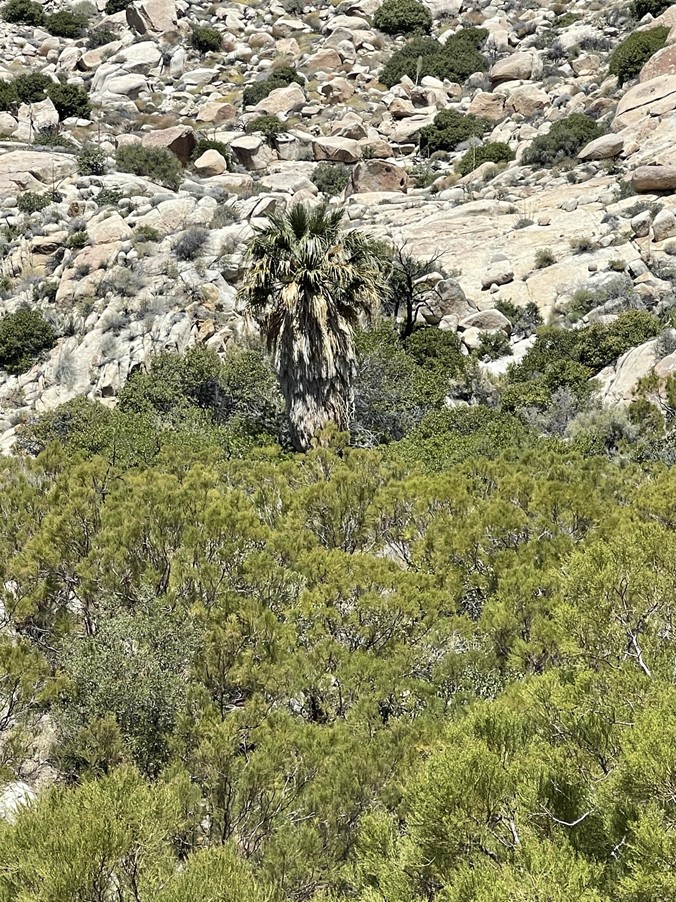
I spotted a single palm tree in one of the gullies nearby.
Rather than re-ascending Collins, I took a more direct route to the northwest. I was hoping to rejoin my ascent route somewhere to the west of Peak 4695. This was the toughest part of the day.

I made my way up the rocky slopes. Eventually I entered a gully that led up the ridgeline above. The gully itself was too brushy to climb through so I ended up having to do some side-hilling on the right side of the gully.

The side-hilling was tough and kind of annoying. The final push up to the ridge was steep with a lot of loose sand.

I finally rejoined my ascent route at 9.5 miles (or maybe I should call it the descent route since this was an inverted hike). From there I was able to retrace my route back to the car. The wind had picked up and there were some clouds, so I put my jacket back on. I was thankful that the weather was so pleasant – I still had over a Liter of water remaining despite losing so much at the beginning.

From there I went back over Point 4809 and then through the brushy section back to the road. I reached the car at 2:45pm. This hike totaled 13.93 miles, 3898 feet elevation gain, and 8:00:28 total time.


