National forests in Southern California were still closed for the foreseeable future due to the ongoing threat of wildfires, so for the 2nd week in a row I had to get a bit creative with my hikes. Pretty much every HPS peak that I hadn’t done yet was off limits due to the closures, so I turned my sights to the Sierra Club Lower Peaks List (Peaks below 5000 feet). Most state parks in the area remained open, so I settled on climbing 2 peaks on the Lower Peaks List in Chino Hills State Park.
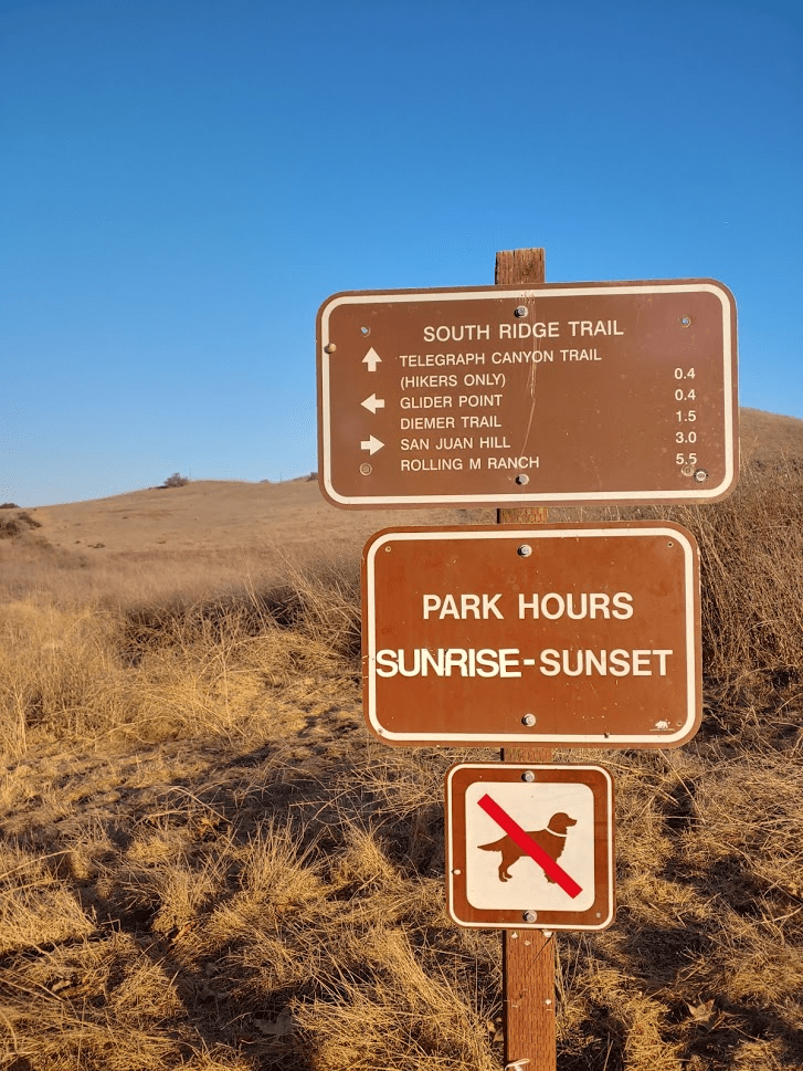
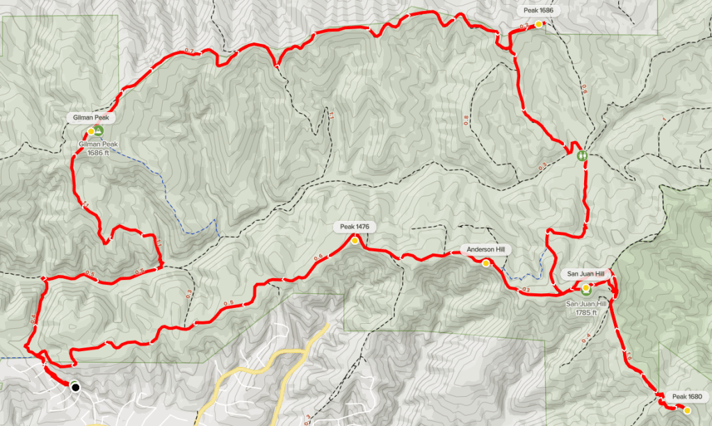
Chino Hills State Park is just north of the Santa Ana Mountains at the intersection of LA, San Bernardino, and Orange Counties. The park land is primarily made up of low, rugged hills, which are separated from the main Santa Ana range by the 91 Freeway. The 2 main peaks I was after were San Juan Hill, which is the highest peak in the park at 1781 feet, and Gilman Peak (1685 feet). I also planned to do a number of minor peaks along the way for a nice loop hike of about 12 miles. I left at 5:45am, and it took me about an hour and a half to make the drive north. I started from the Rimcrest trailhead, which is in a suburban neighborhood in Yorba Linda. No entrance fees are required at this trailhead, and there is room for a lot of cars on the side of the road near the beginning of the trail (there is no parking lot). Despite signs indicating that parking wasn’t allowed until 8am, there were 30-40 cars already parked there when I arrived around 7:30. I started hiking at 7:37am. I had to walk about a quarter mile up Rimcrest Drive to reach the start of the trail. There was an immediate intersection.
I went straight towards Telegraph Canyon on the Easy Street Trail. It was nice and cool so early in the morning (this wouldn’t last).
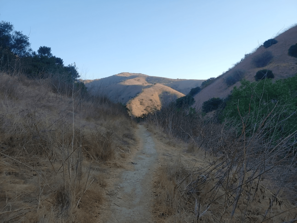
At 0.7 mile I reached the Telegraph Canyon Trail. I turned east directly into the sun.
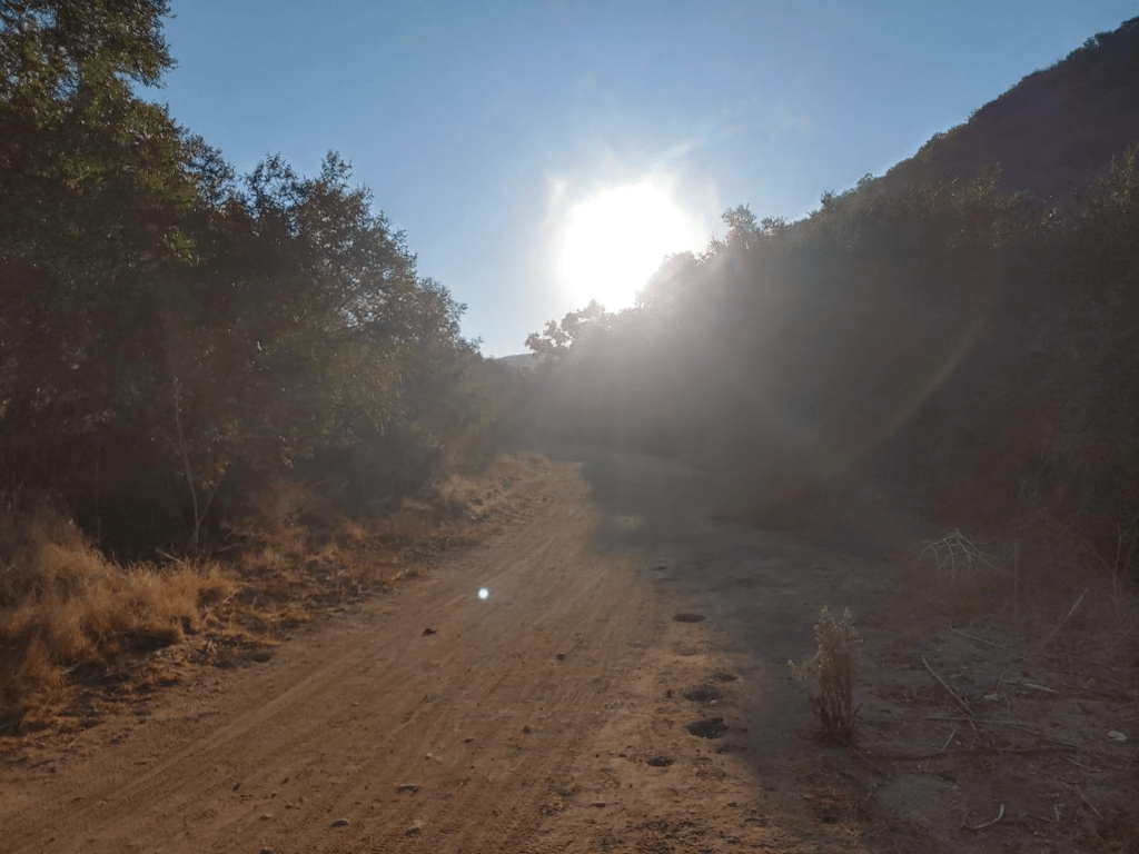
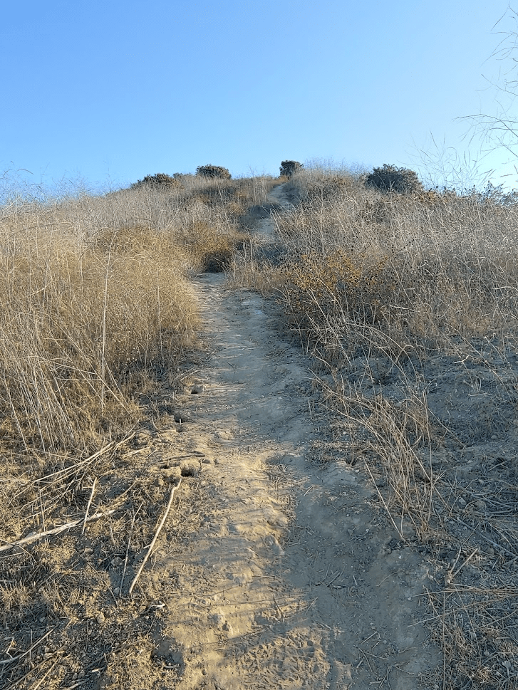
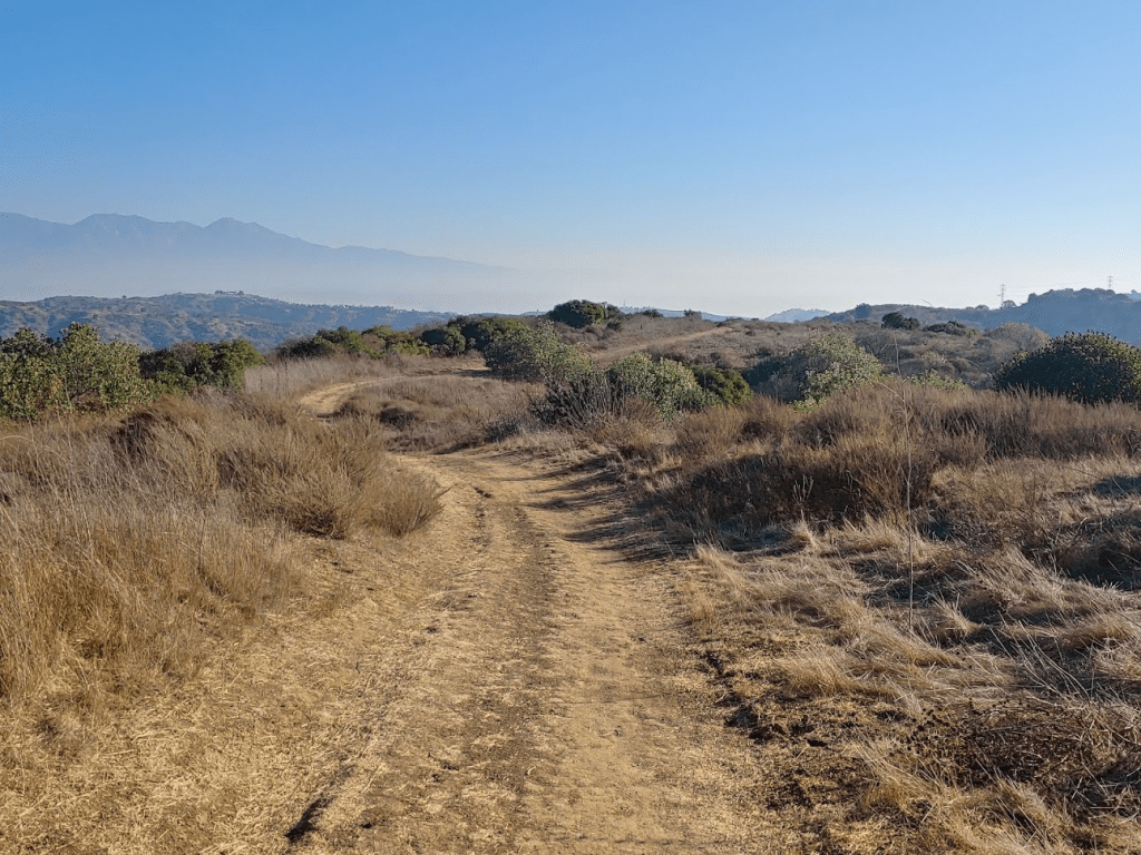
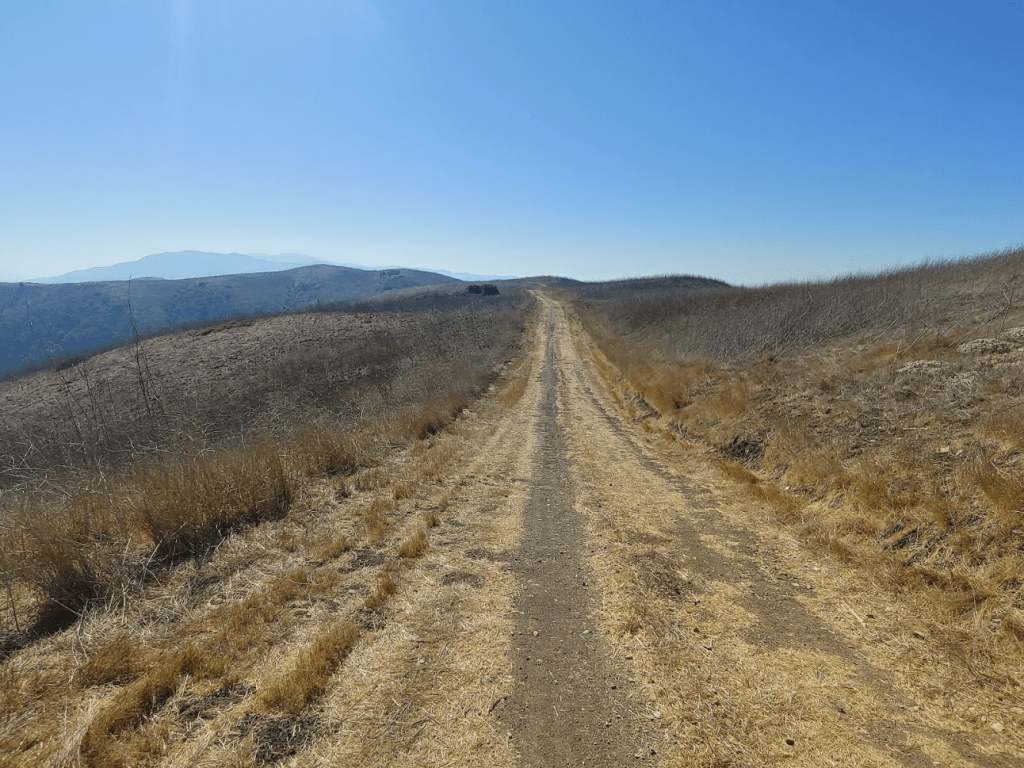
This trail was fairly busy – there were other hikers out already and a lot of mountain bikers. At 1.22 miles I turned north (left) onto the Gilman Trail. The Gilman Trail immediately started gaining elevation. The temperature felt like it rose 15 degrees as I climbed out of the canyon into the sunlight.
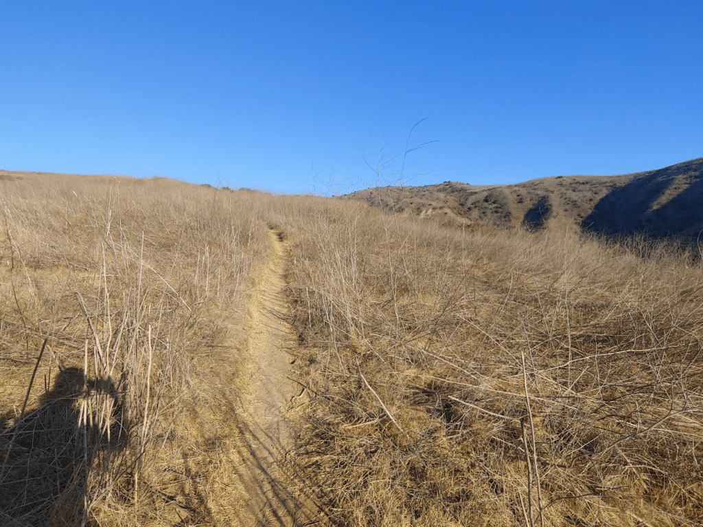
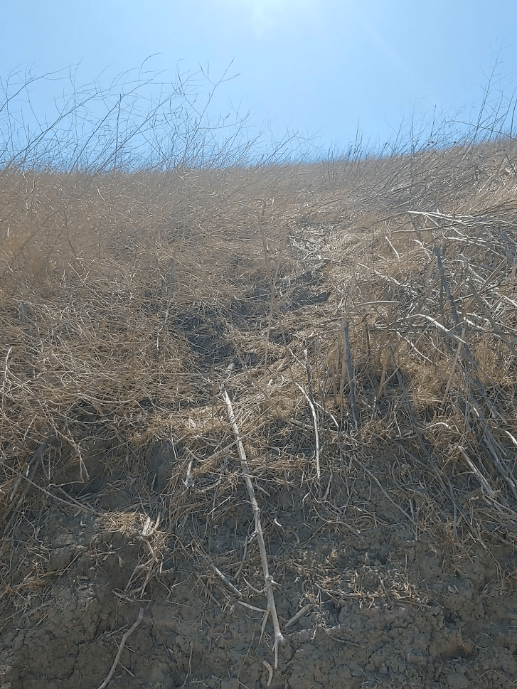
The hills were extremely dry. There was dried out brown grass for as far as the eye could see. I imagine the hills are much more beautiful in the spring after a wet winter. The final portion up to Gilman Peak was pretty steep.
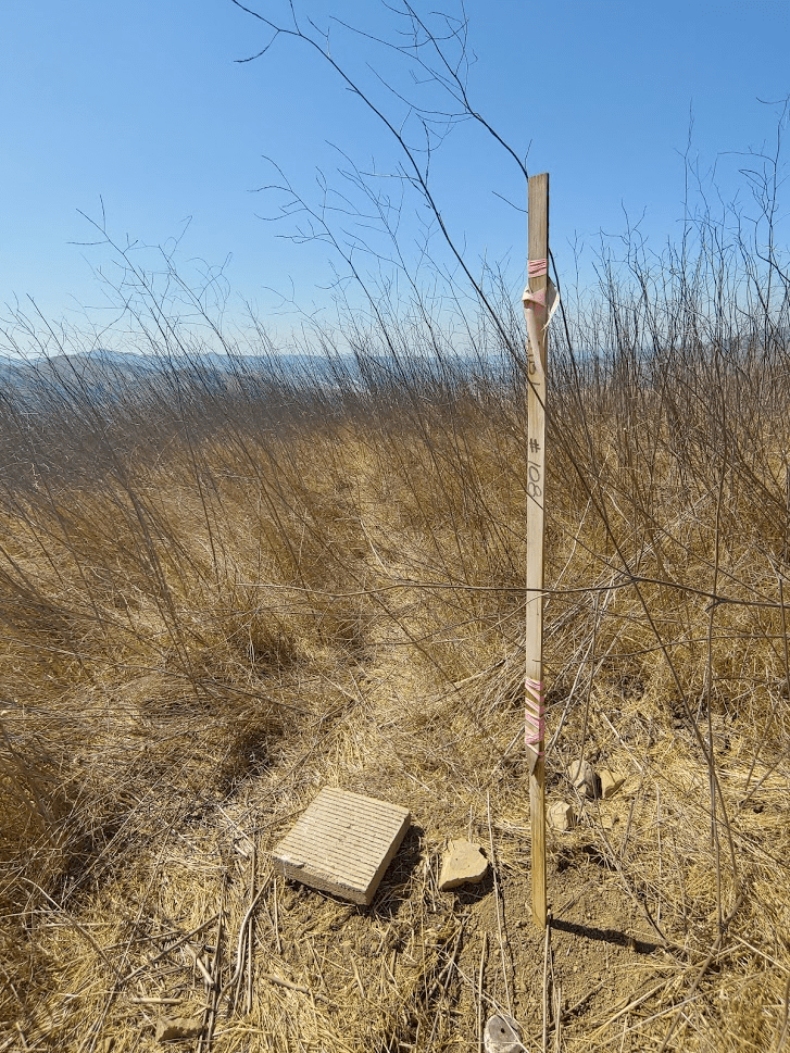
I reached Gilman Peak at 8:20am at 2.26 miles! A large brown stake held up by some rocks marked the summit.
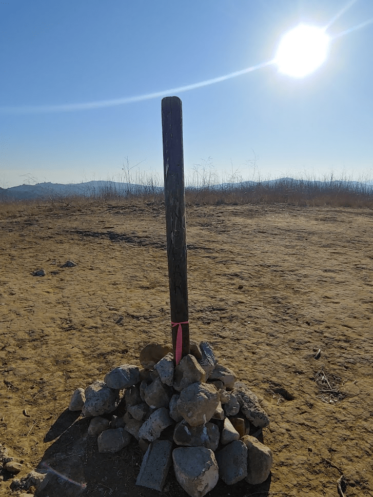
I found a single benchmark but no reference markers. I also did not find a register.
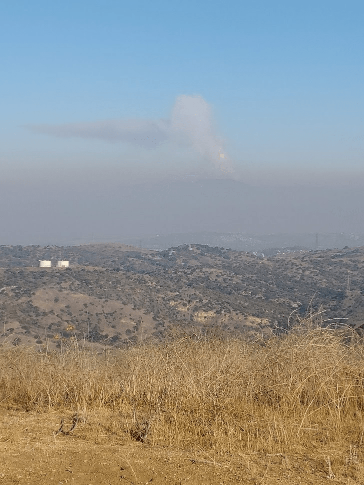
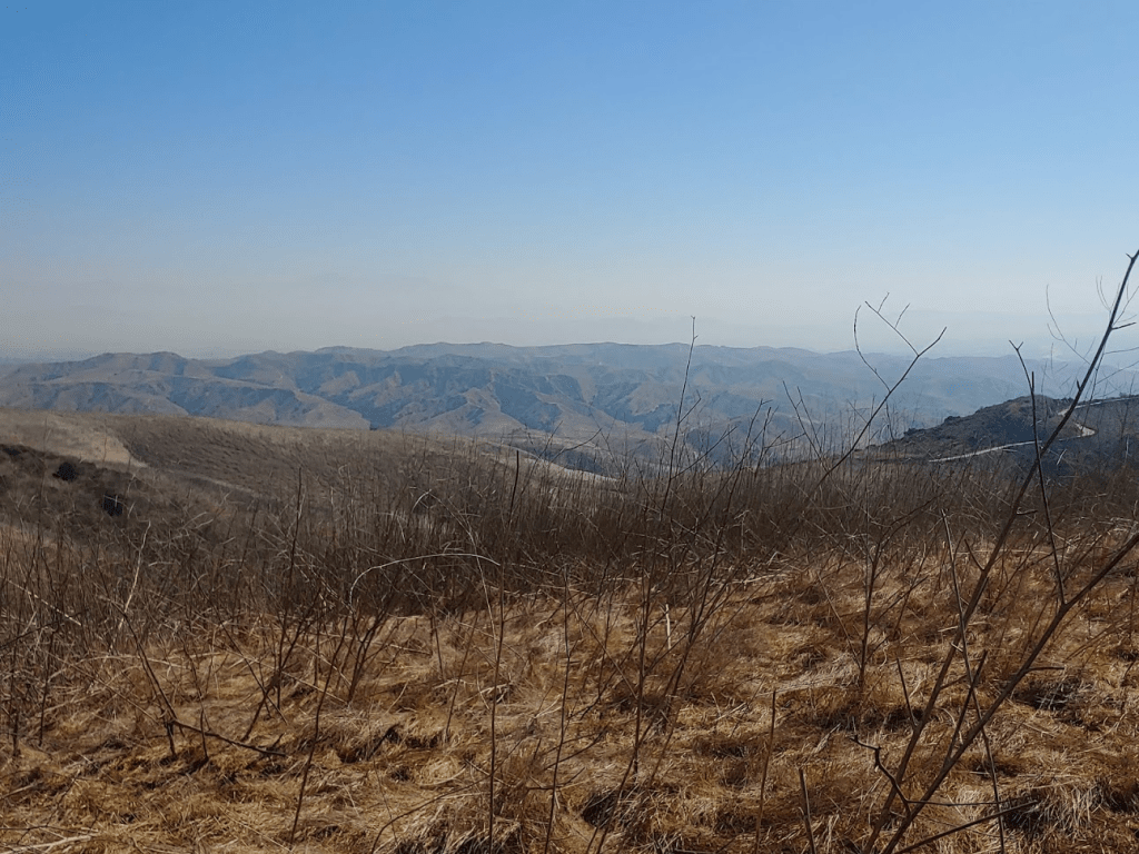
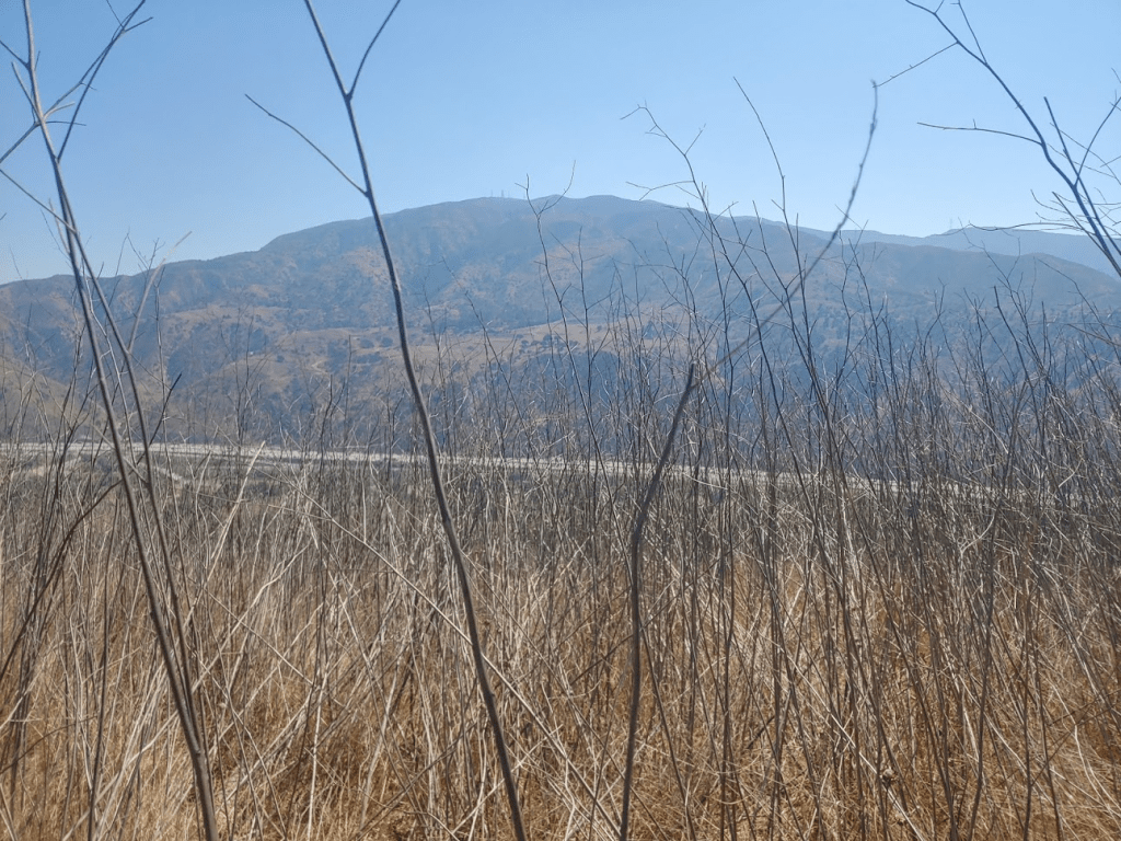
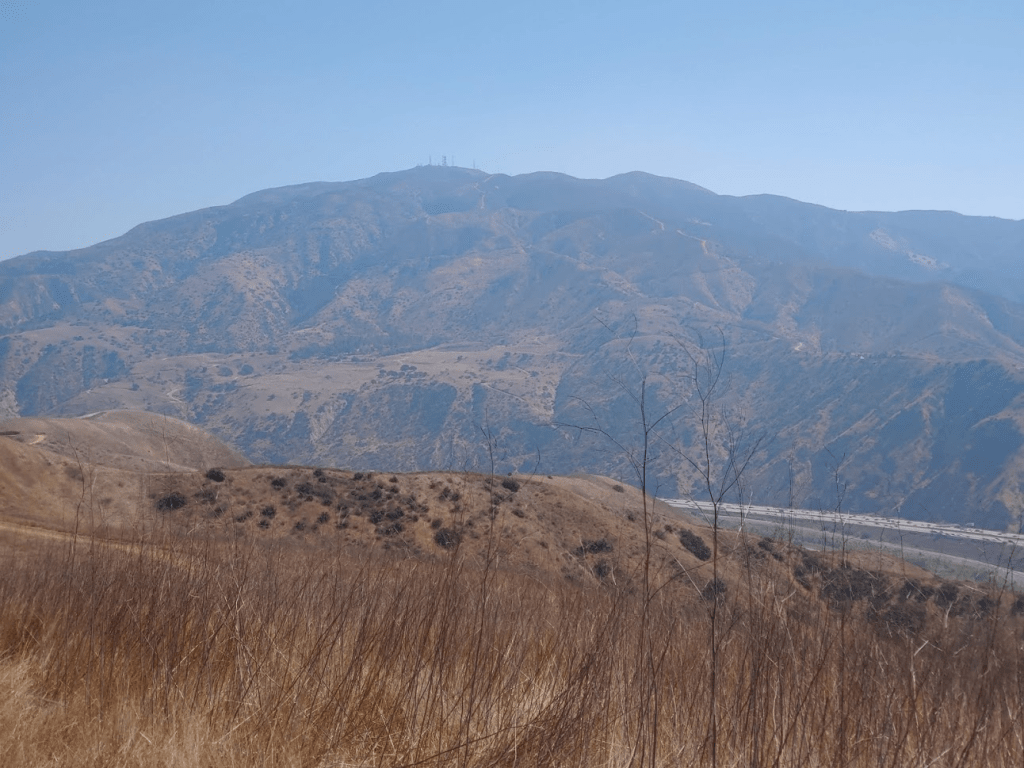
The views were pretty nice, despite the haze (these days it is hard to tell if it is haze, smoke, smog, marine layer, etc). To the north I had a great view of the San Gabriel Mountains. The 3 tallest peaks from left to right are Mount Baldy, Ontario Peak, and Cucamonga Peak.

To the northwest I could clearly see wildfire smoke rising from the mountains. I think this was from the Bobcat Fire, which had been burning since Labor Day Weekend.
After a 10 minute break I continued east on the North Ridge Trail.
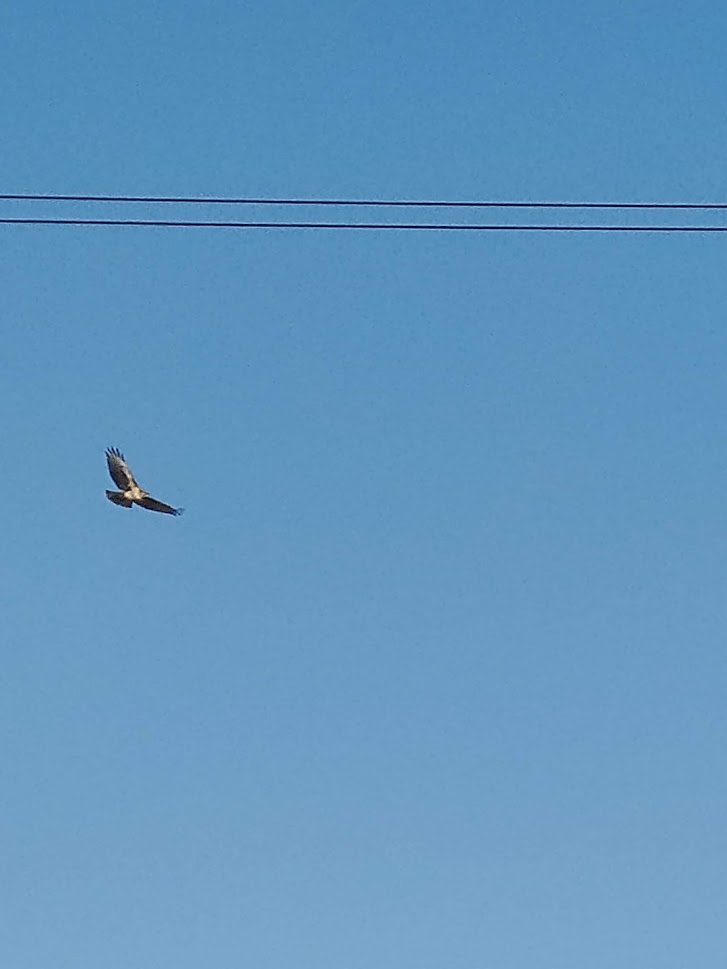
The North Ridge Trail parallels the northern boundary of the state park. There were many no trespassing signs on the left side of the trail. I passed a few more hikers and mountain bikers along the way, but I never felt like it was overly crowded. At one point I saw a large bird circling overhead that I thought was a hawk.
At 4.85 miles I reached a junction. San Juan Hill was to the south, but I first wanted to climb an unnamed minor peak (1686 feet) off to the east. I continued east until reaching a gate at 5.12 miles.
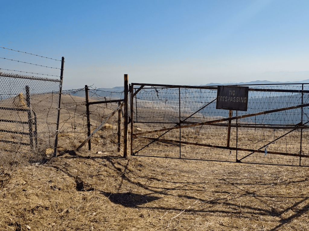
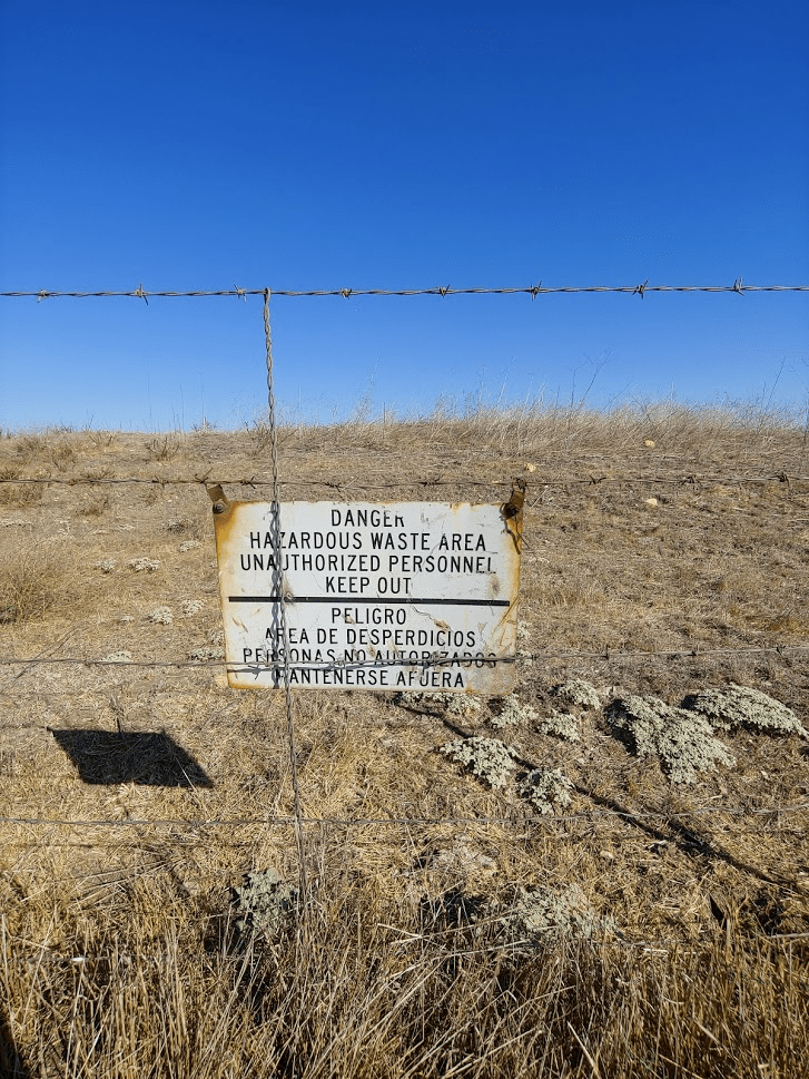
Peak 1686 was just a few feet to the north, but unfortunately is on the other side of a pretty sturdy barbed wire fence. I think there is an old landfill or something on the other side.
I didn’t want to risk injuring myself or ripping my clothes, so I called it good and went back the way I came. I reached the same intersection from before and turned south towards San Juan Hill.

I went underneath a power line, where the wide trail turned into a single track trail. I soon reached the Telegraph Canyon Trail again.

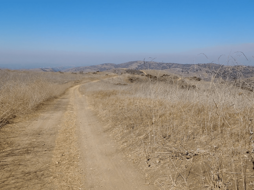
At 6.2 miles I reached an area called 4 Corners, which is in the middle of the park at a point where 4 different trails meet. There are a few picnic tables and a port-a-potty here. I went south on the Bovinian Delight Trail.
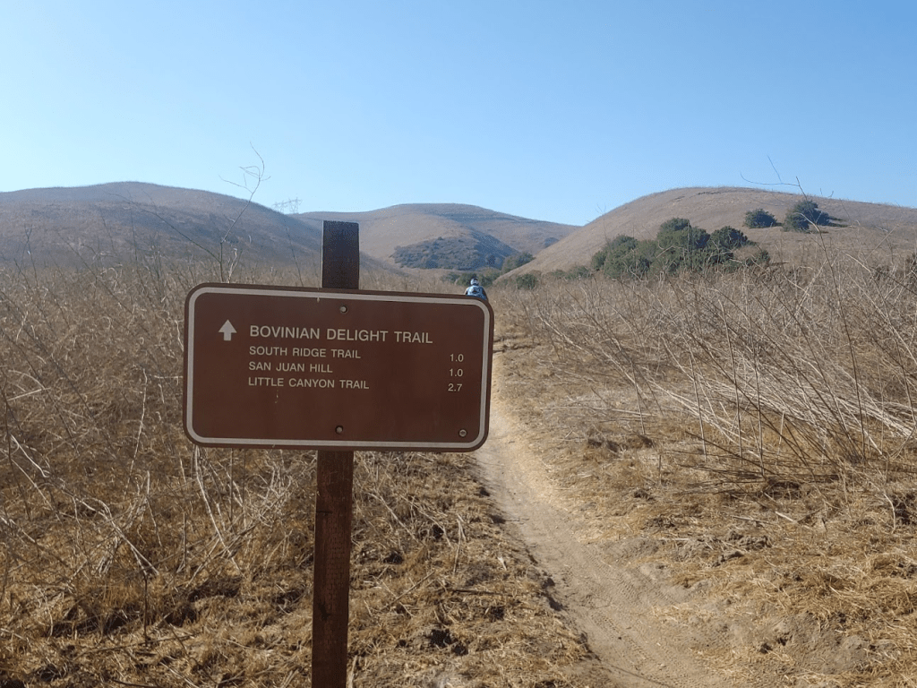
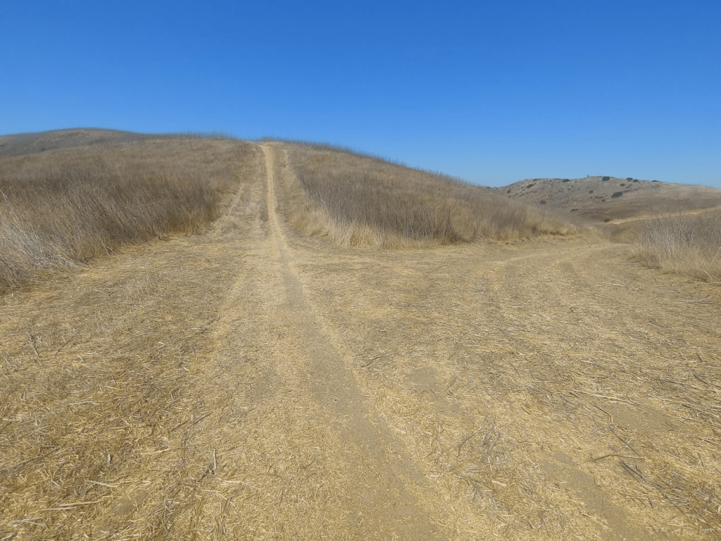
The Bovinian Delight Trail steadily gains elevation as it heads south towards San Juan Hill. It was really starting to feel hot now – I’m guessing it was already in the 90s. I went over a gas pipeline at 6.56 miles (there were signs for these all over the place). At 6.82 miles I reached a fork and went left.
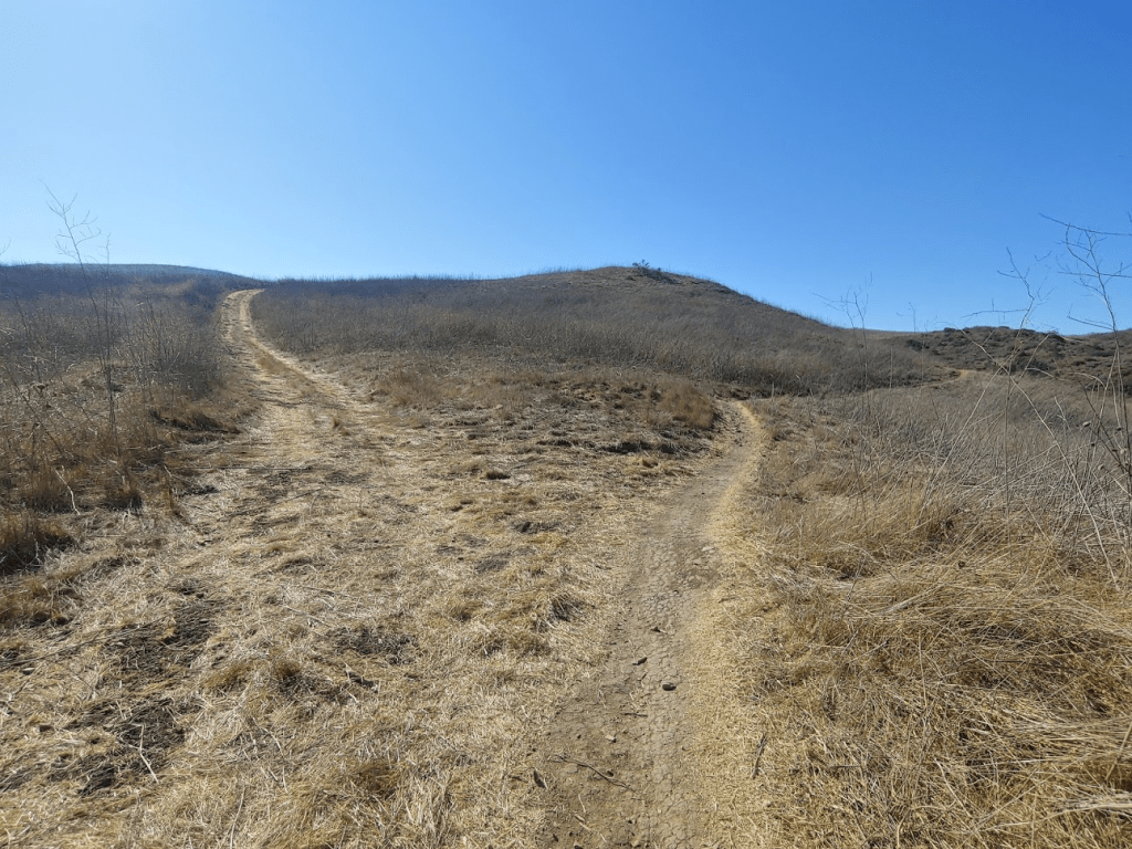
At 7.05 miles I reached the South Ridge Trail. I went east a short way and then turned south (right) onto the San Juan Hill Trail.

I reached the summit of San Juan Hill at 10:01am at 7.19 miles!

A concrete block marked the summit.
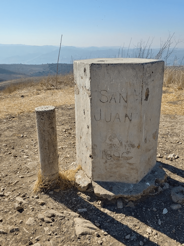
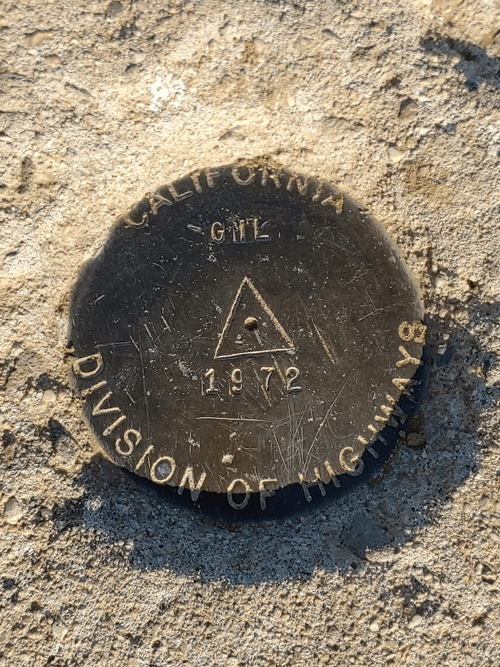
There was a survey marker near the summit marking the boundary between Orange County and San Bernardino County. Once again, I did not find a register.

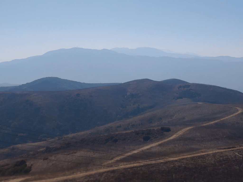
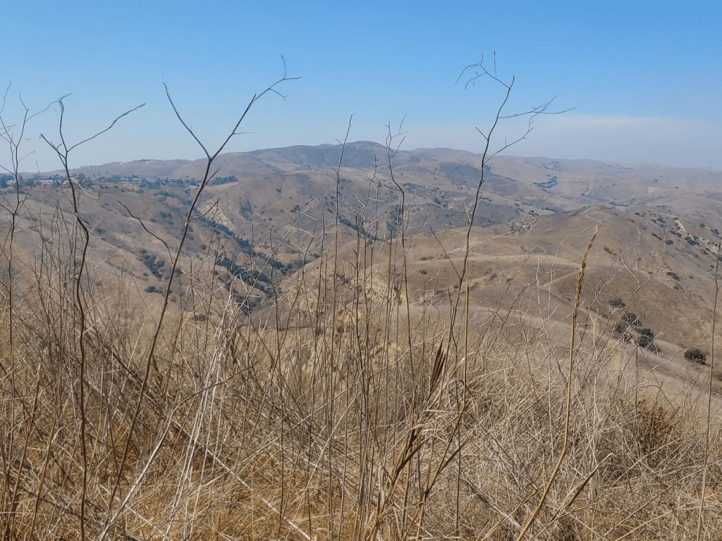
The views were similar to Gilman Peak. The San Gabriels were perhaps a little less clear since I was now a few miles further away. I had a good view of the Santa Anas to the south.
I had now completed the 2 peaks I was most interested in. I could have returned to the car along the South Ridge Trail for a nice 10 mile loop, but I decided to first go a bit further to an unnamed peak of elevation 1680 feet. I went east off the summit and then turned south on the Water Canyon Trail.
Water Canyon is an odd name since this is some of the driest terrain I had ever hiked through. It actually occurred to me how unusual the terrain was – I’m used to dense chaparral at these elevations, but this area consisted entirely of tall grass. Anyway, I hiked south for about a mile and then went off trail to the east towards Peak 1680.
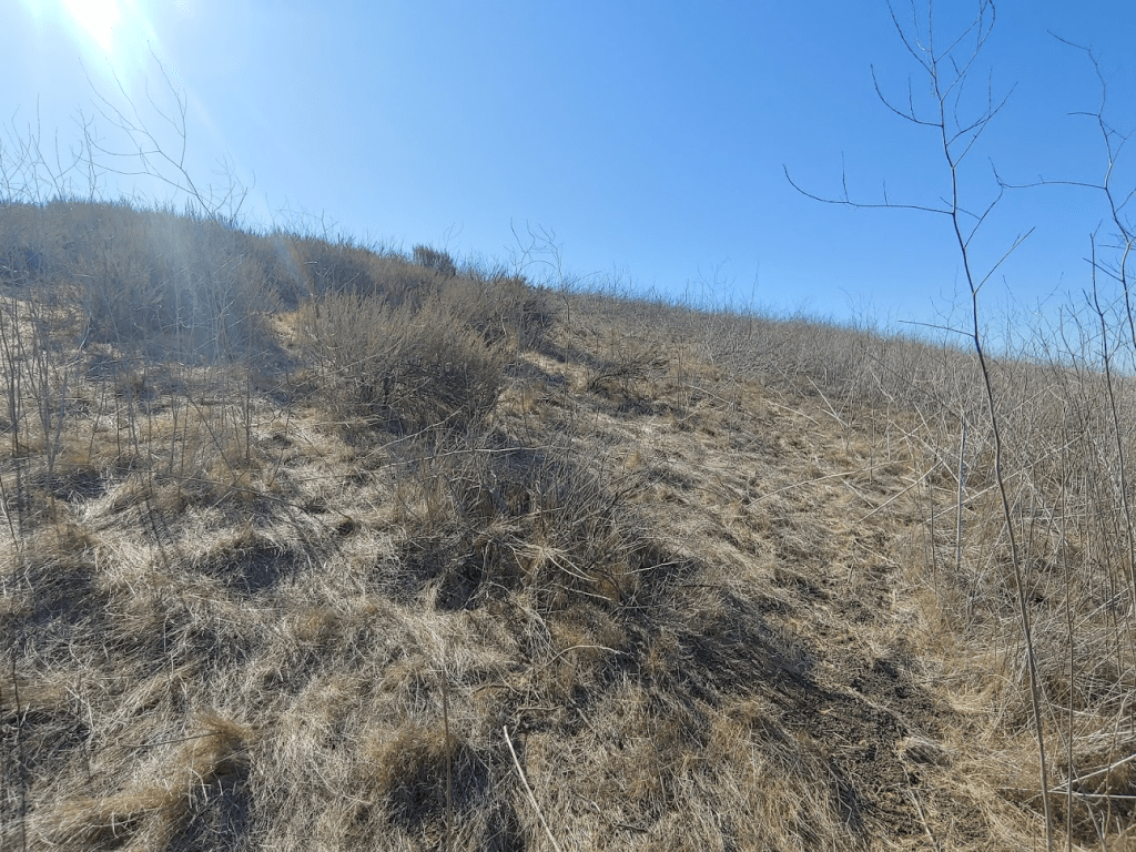
It was about a quarter mile to the peak from the trail. I was able to follow an okay use trail through the grass. The brush was pretty easy to fight through due to how dry and brittle everything was. This would certainly be a much bigger pain in the springtime. I reached the summit of Peak 1680 at 10:33am at 8.25 miles. I took a few pictures through the grass and then descended back to the trail.
I reached the trail again at 8.47 miles and then retraced my steps north back towards San Juan Hill. Instead of reclimbing San Juan Hill, I went around it on its north side and continued on the South Ridge Trail back towards the trailhead.
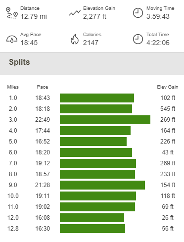
I had 2 more minor peaks to climb just off the South Ridge Trail. The first one was Anderson Hill (1560 feet) and the second was an unnamed peak (1476 feet). Both were closer to the trail than the previous peak so were easy to reach. I got a few odd looks from passing mountain bikers who probably wondered what I was doing fighting through the brush, but oh well. Both peaks had okay views, but nothing new compared to the previous peaks. After the peaks, I followed the South Ridge Trail back to the trailhead. I reached the car again right at noon. This hike totaled 12.79 miles, 2277 feet elevation gain, and 4:22:06 total time.
It was fairly early in the day still and my legs felt good, so I decided to do one more short hike. My plan was to do 2 more peaks in the state park, Scully Hill and Peak 1155. These peaks are in the southeast corner of the park and can be accessed from the nearby Green River Golf Club. It was about a 25 minute drive. I reached the golf course and parked in the back of the lot near the trailhead. Previous reports did not indicate that anyone had any issues parking here, but I still wanted to be as discreet as possible. I started this hike at 12:30pm. I went north from the parking lot and crossed a railroad track.

The Scully Ridge Trail begins on the other side of the tracks.

The Scully Ridge Trail is a fairly wide dirt road that ascends rather steeply from the golf course. Scully Hill was visible right away.

At 0.6 mile I left the road and climbed up a steep use trail to the summit. The trail was pretty slippery due to the loose grass.
I reached the summit at 12:46pm at 0.7 mile!
I had a good view of Sierra Peak to the south across the 91 freeway. Sierra Peak is on the northern end of the Santa Ana Mountains.
I climbed back down to the road and continued towards Peak 1155. It was extremely hot now and my water was getting warm, so I was glad to be nearly done.

At 1.52 mile I reached a junction and went left. The road turns into a single track trail shortly after this.
I soon left the trail and made the short climb up to Peak 1155. Similar to the other peaks earlier in the day, it was easy to fight through the dry grass to reach the summit. I reached the top at 1:19pm at 2.1 miles. I had a good view of San Juan Hill a few miles to the north.
And Sierra Peak to the south:
After a short break, I climbed back down the road. From there, I returned the way I came. The heat was really intense by this point, so I was glad my day was done. I reached the car finally at 2:06pm. My car said it was 101 degrees! This hike totaled 4.15 miles, 1030 feet elevation gain, and 1:36:55 total time.


It was definitely not the most exciting hiking I had ever done, but it was still fun to get outside and explore a new area. I was also impressed with myself for doing over 17 miles/3000 feet in 90+ degree weather!
