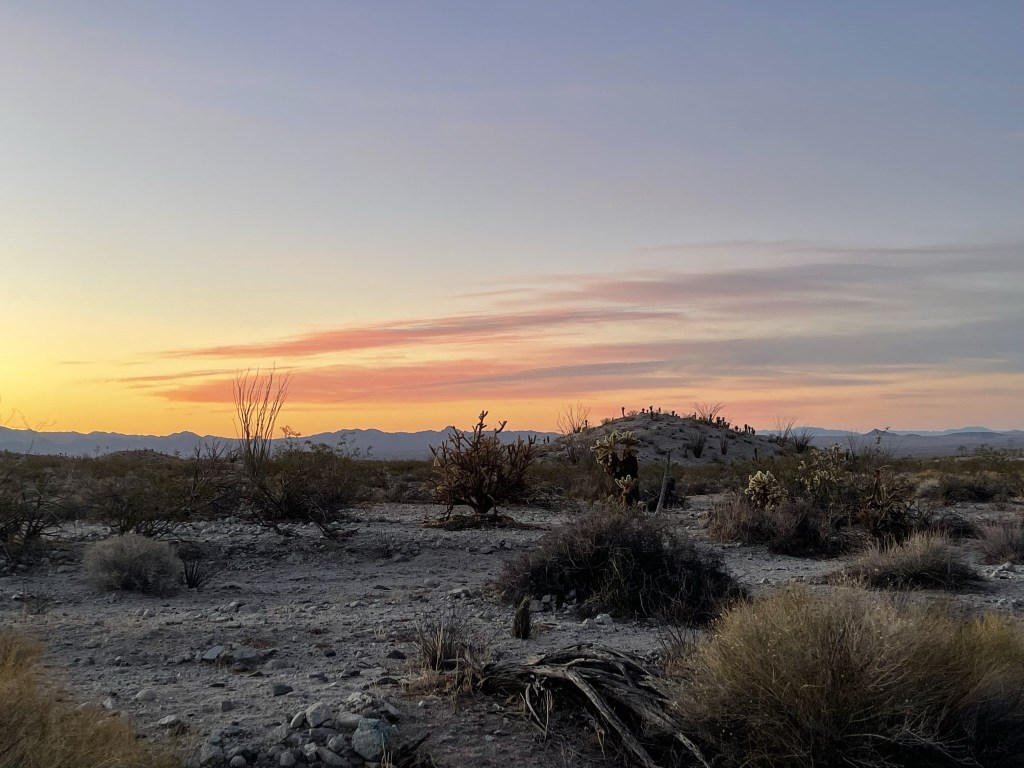
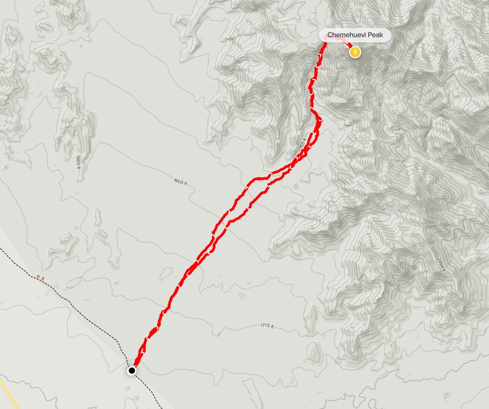
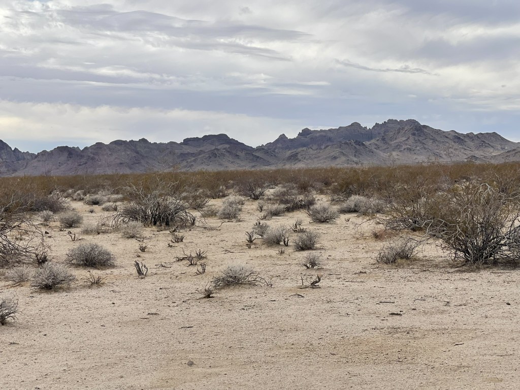
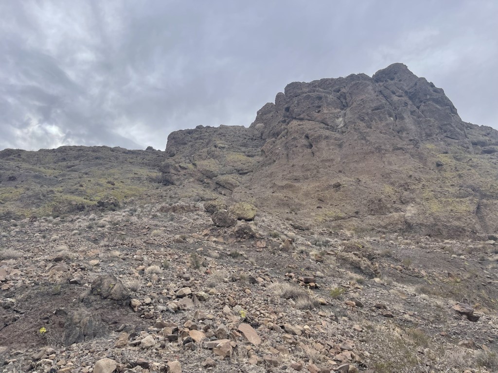
Chemehuevi Peak is a 3694 foot peak located in southeastern California near the Arizona state line northwest of Lake Havasu. It is on the Sierra Club Desert Peaks Section List and has over 1000 feet of prominence. I planned to climb it on day 1 of a quick desert trip on the last weekend of January. I left San Diego around 4pm on Friday evening and made the nearly 5 hour drive to the trailhead for Chemehuevi. From just north of the intersection of US-95 and Havasu Lake Road, I drove southeast on a power line road for 4 miles and parked near one of the towers. This dirt road was in great shape and passable for any vehicle. I woke up early the next day and began hiking at 6:07am from 1654 feet above sea level. It was 46 degrees in the early morning. Chemehuevi’s pyramidal summit was clearly visible across the open desert.

The first signs of dawn were materializing to the east.
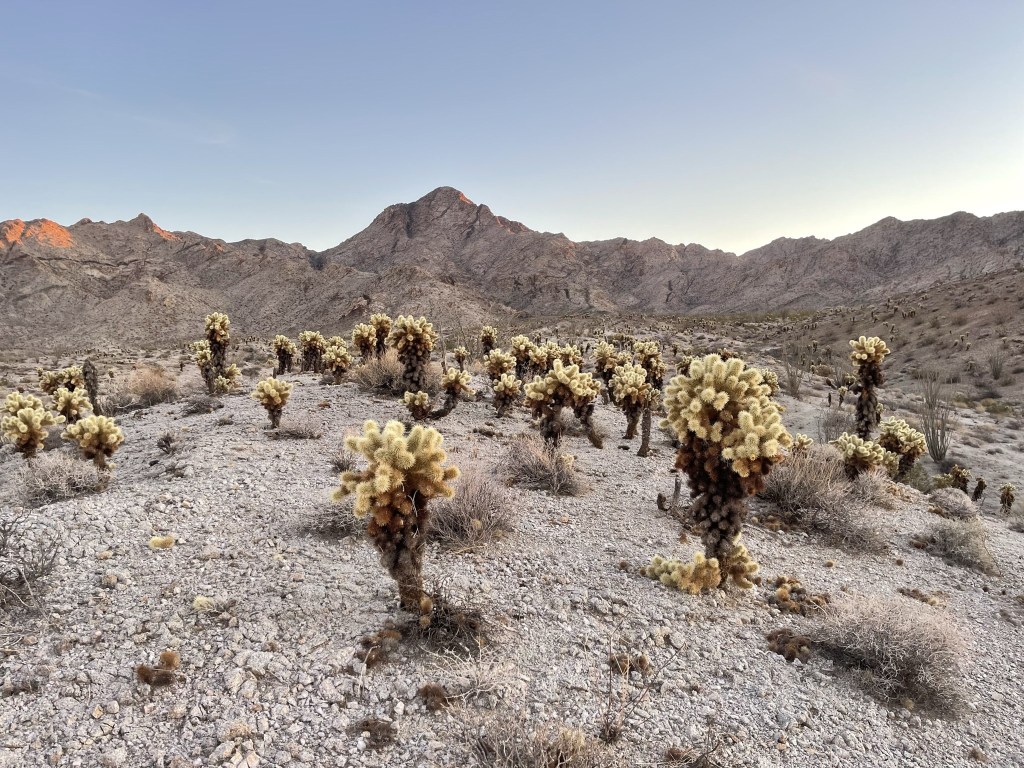
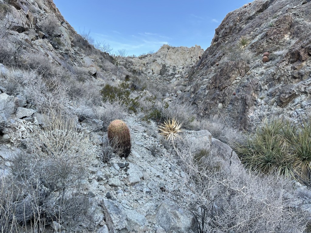
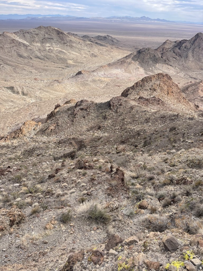
This hike required a fairly lengthy approach across the desert before the real climbing began. There was plenty of teddy bear cholla to avoid.
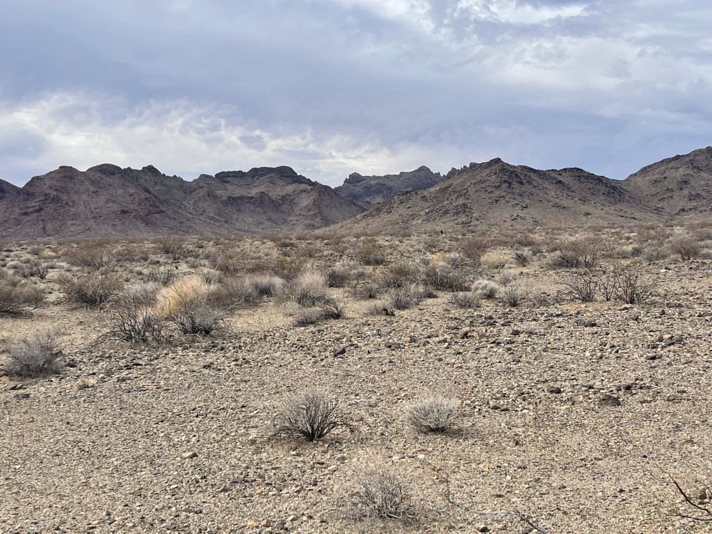
I hiked northeast, aiming for a large canyon on the left side of the peak.
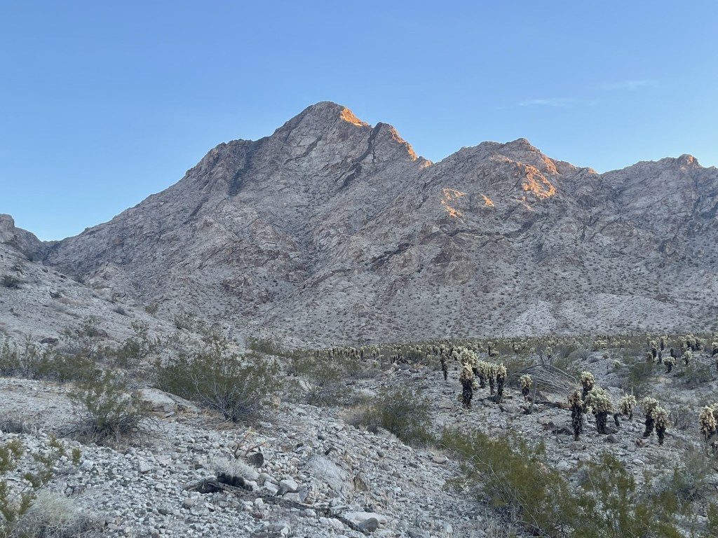
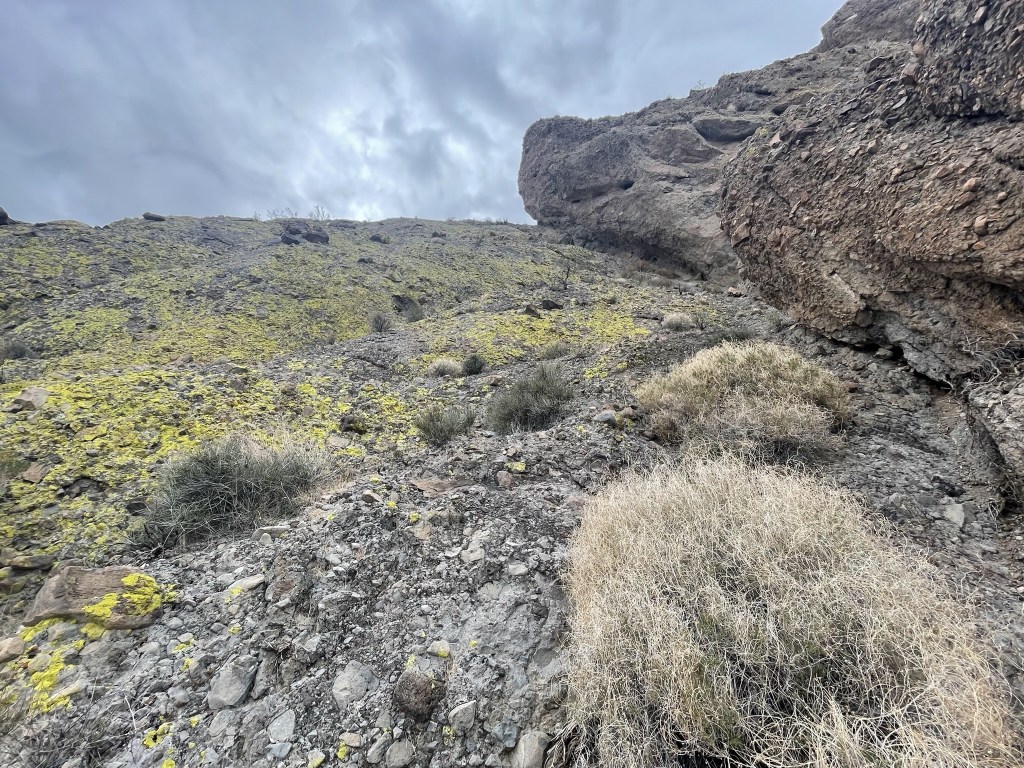
At 2.7 miles I entered the canyon at 2225 feet.

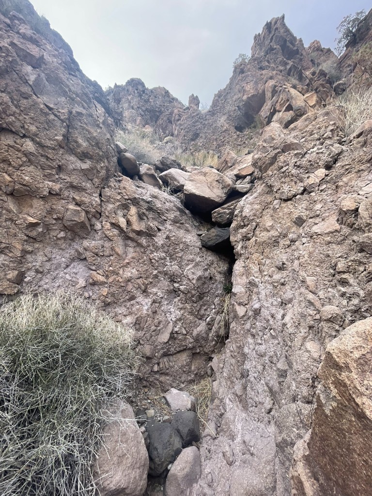
The canyon wasn’t too difficult to ascend. I climbed up a few dry falls.
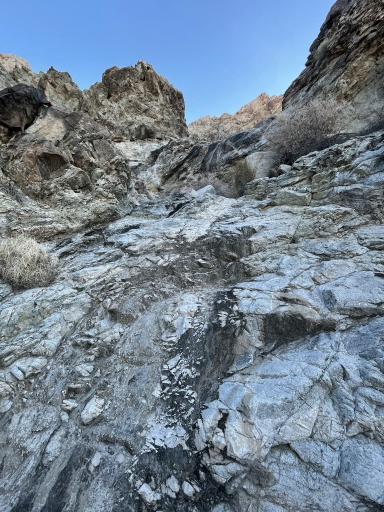
I made good time up the canyon. At times I was able to follow a vague use trail on the left side.
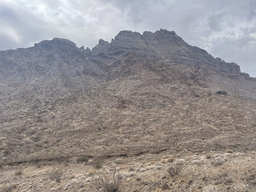
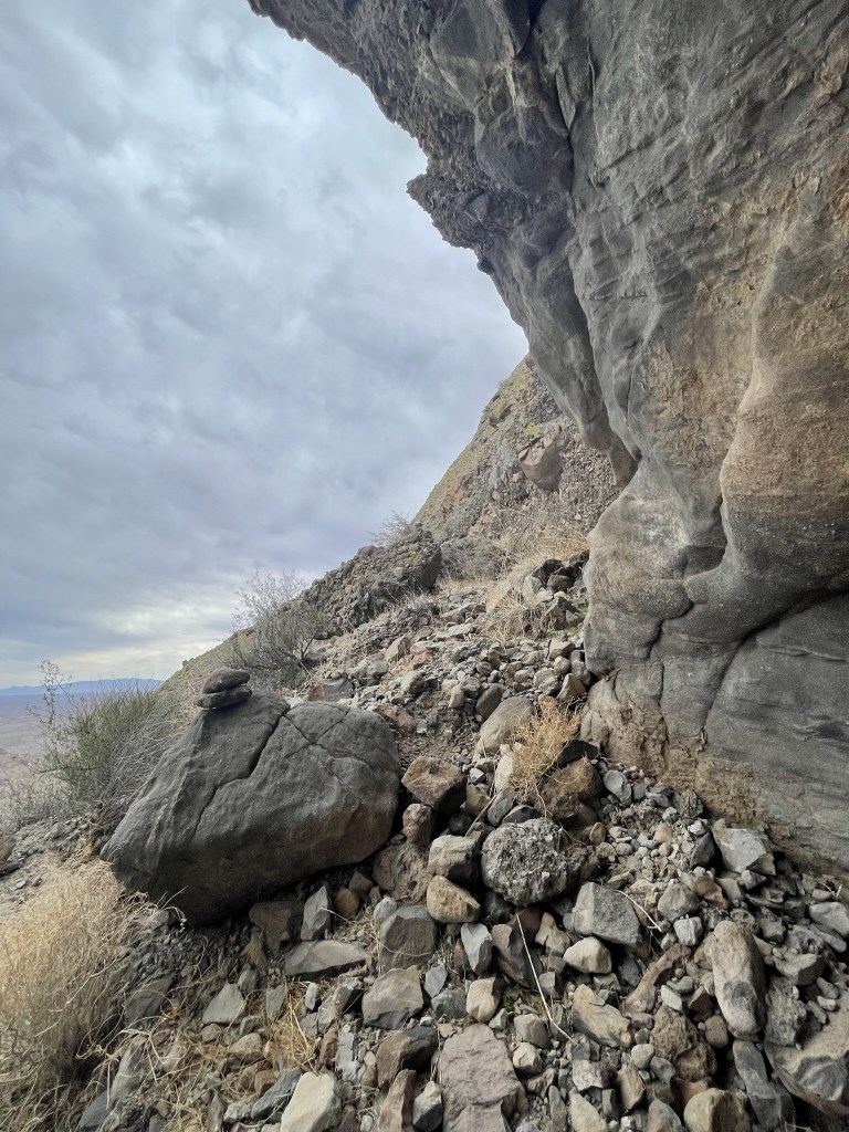
At 3.5 miles I reached the top of the canyon at a saddle just west of the summit. I was now just over 3000 feet.

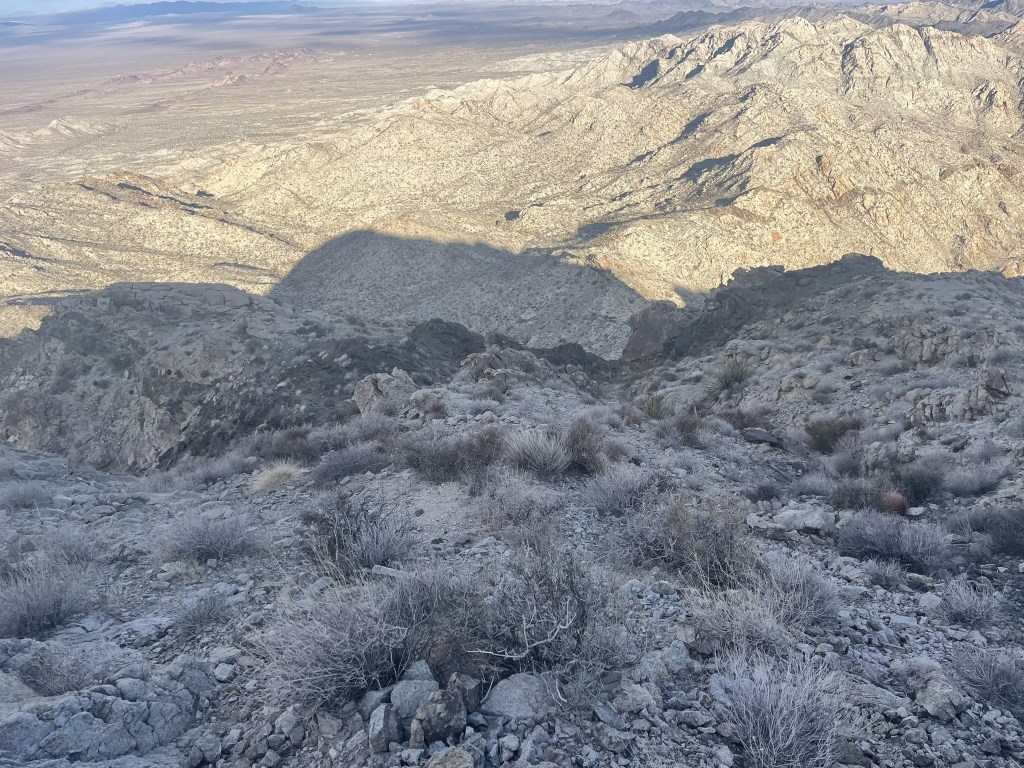
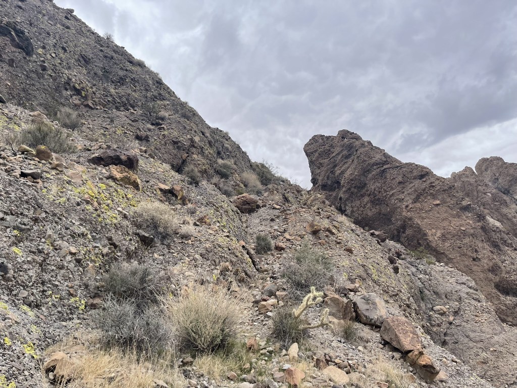
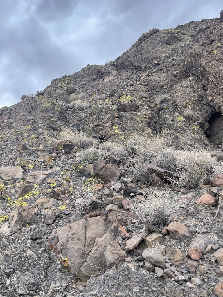
The climbing above the saddle was a little trickier than the canyon, including a class 3 section. I’m not sure if it was avoidable or not.

I climbed up the easy slope just below the summit.

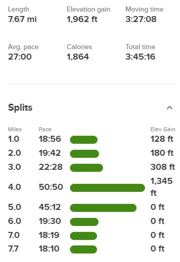
I reached the summit at 7:54am at 3.8 miles!
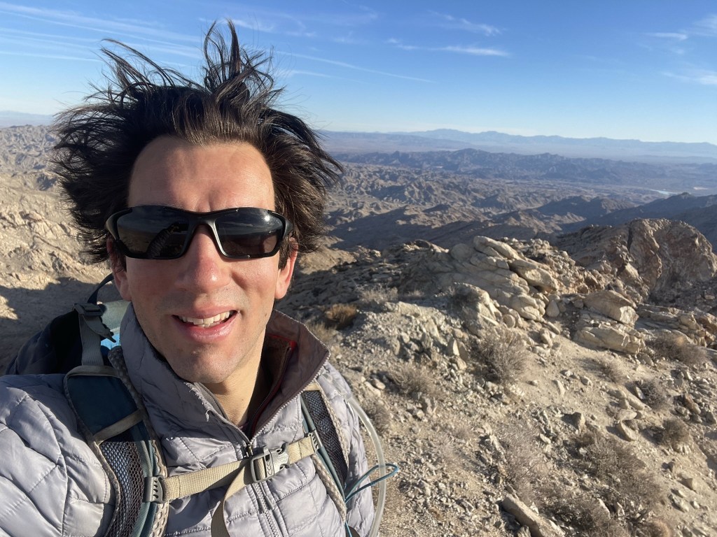
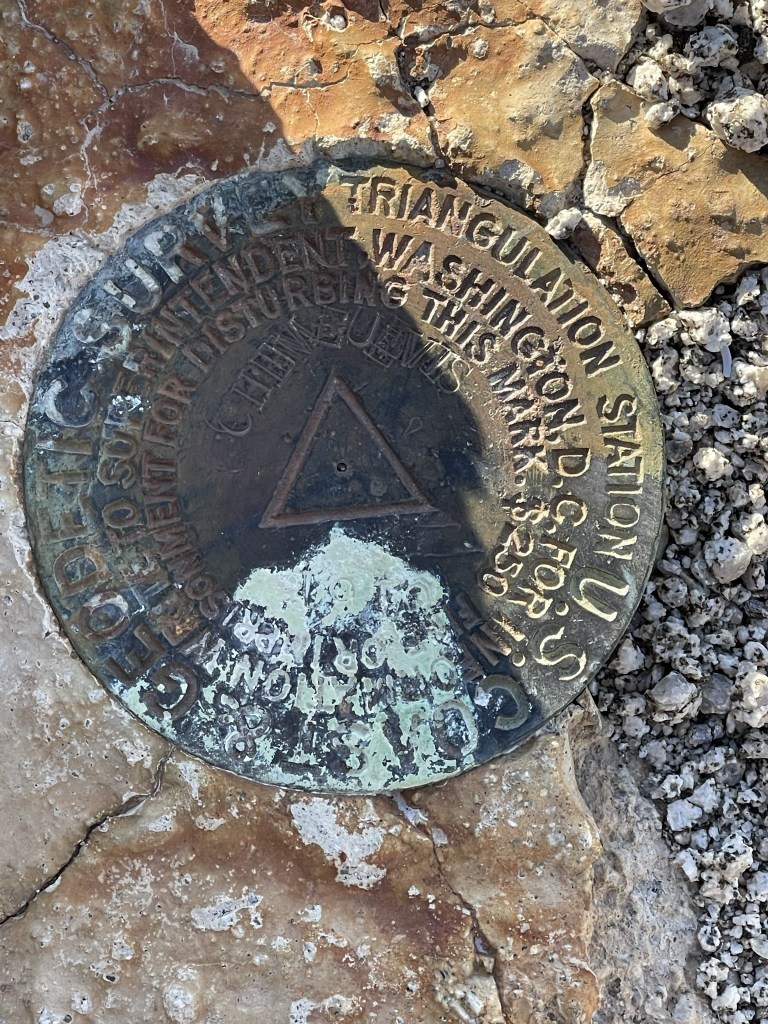
It was breezy on top, so it felt cold. I did not locate a register, but I did find the benchmark.
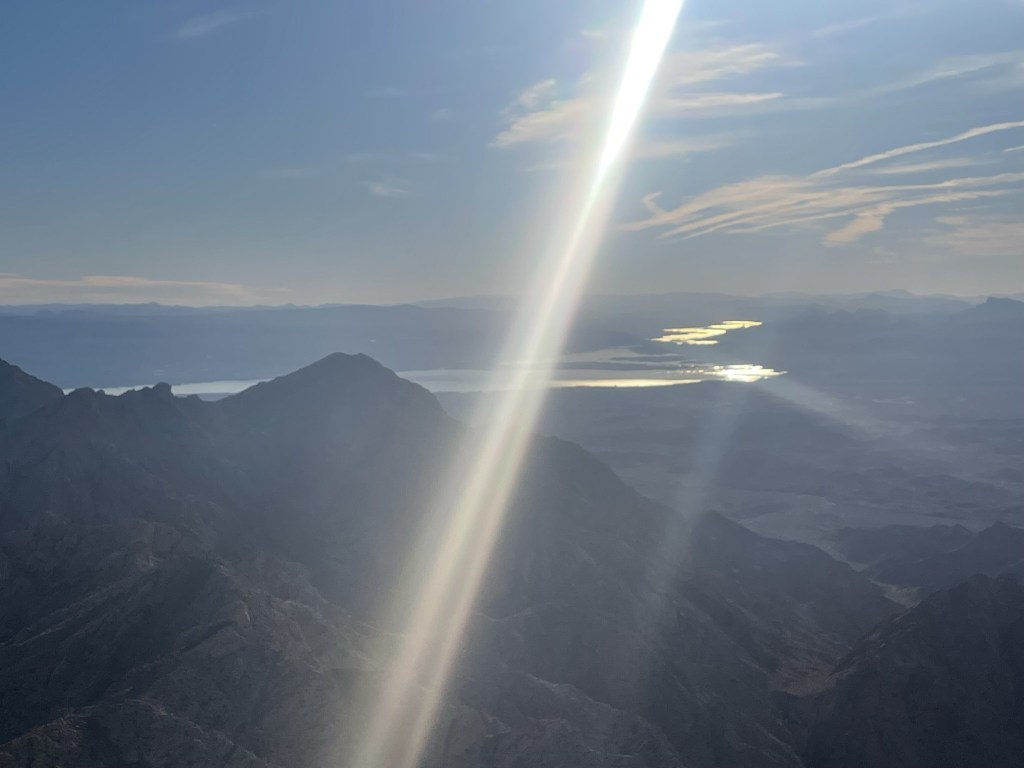
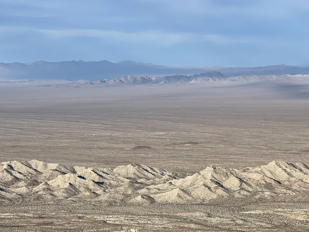
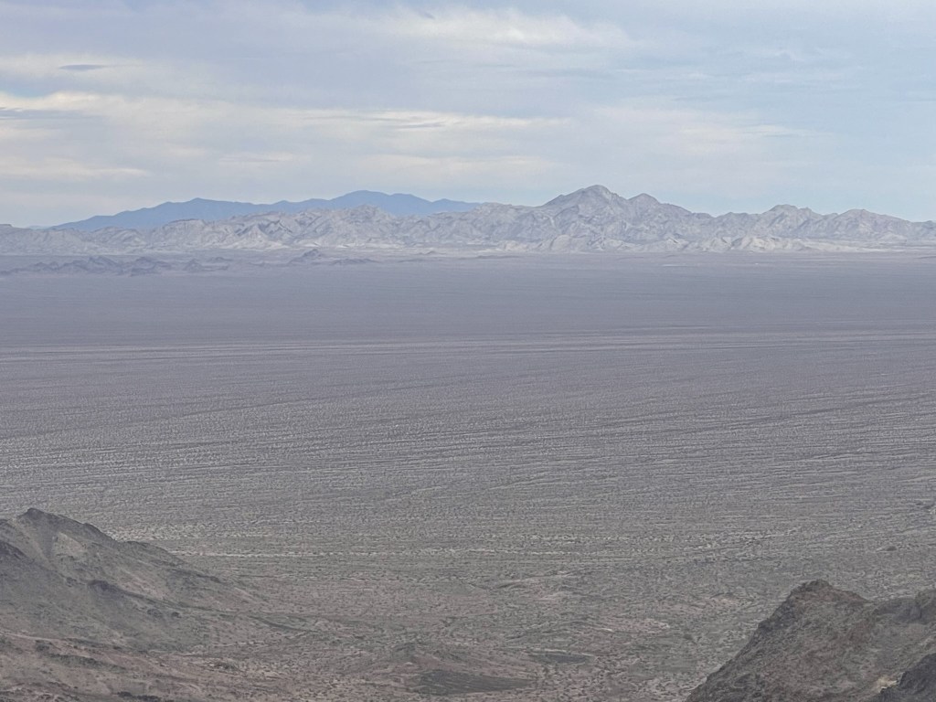
The views were pretty good despite some cloudiness. To the southwest I could see the Turtle Mountains. Mopah Point and Umpah Peak can be seen on the far left. US-95 can be seen in the center.
Lake Havasu to the east:
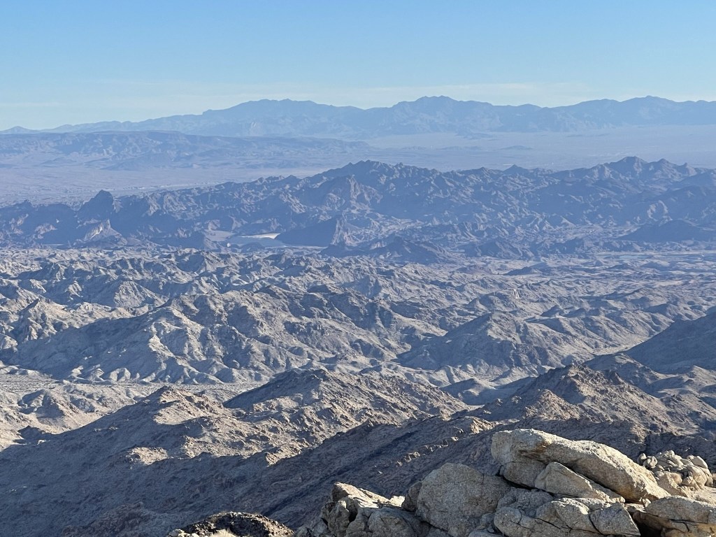
Hualapai Peak in Arizona to the northeast:
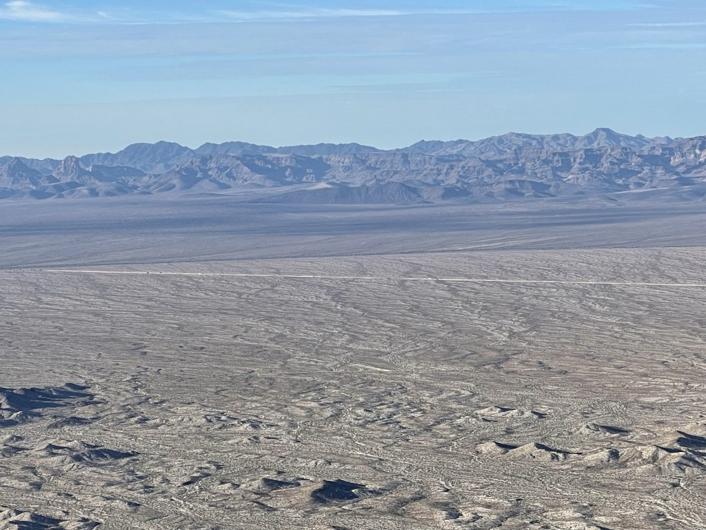
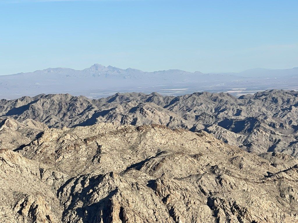
Spirit Mountain in Nevada to the north:
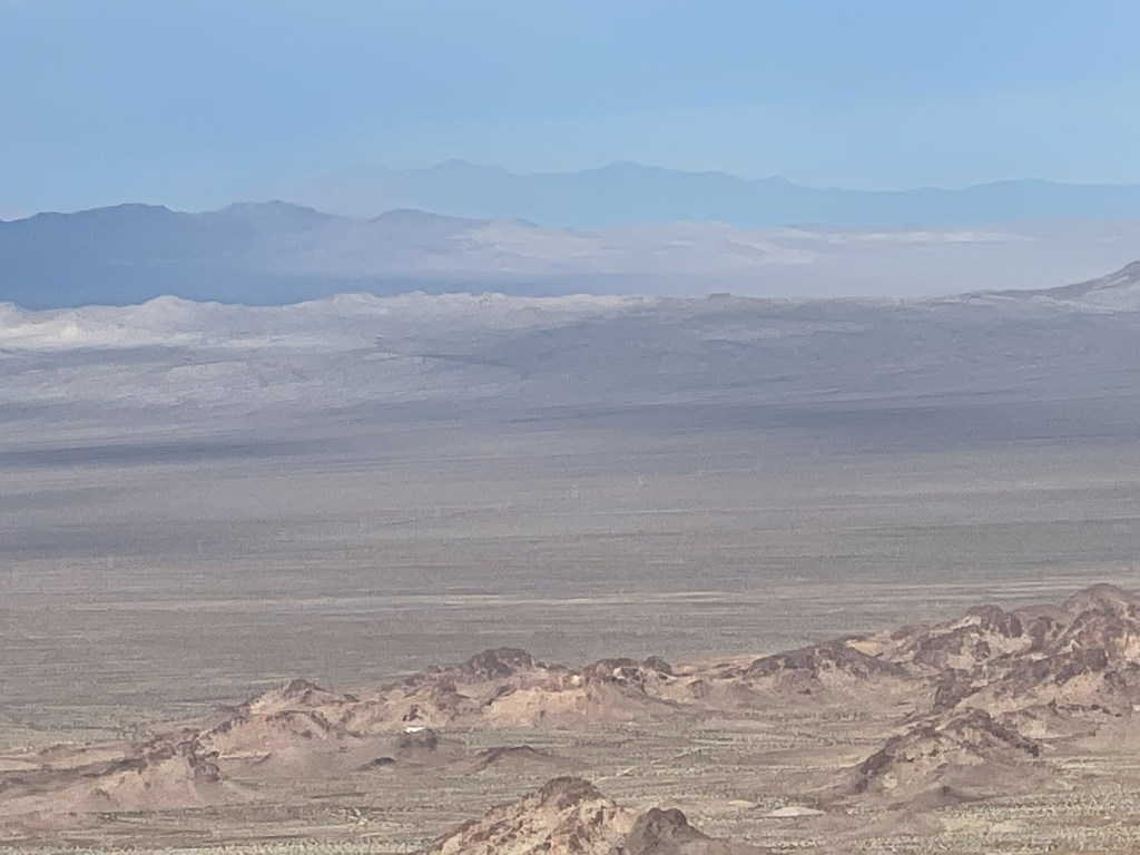
To the northwest I could barely make out Edgar Peak and Mitchell Point. I planned to climb these the next day.
To the west I could see Old Woman Mountain. The rugged hills in the middle are the Stepladder Mountains, which I planned to climb this afternoon.
I descended after a short 10 minute break. I was unable to avoid the class 3 section (not pictured) on the way down.
The rest of the descent was uneventful. I reached the car at 9:52am. Stats for this hike were 7.67 miles, 1962 feet elevation gain, and 3:45:16 total time.
Stepladder Mountain
The Stepladder Mountains are a low, rugged desert range directly west of Chemehuevi Peak across the wide Chemehuevi Valley. The highpoint of the range is a modest 2940 feet. From the trailhead for Chemehuevi, I drove back to US-95 and continued northwest on the same power line road. After about 8 miles, I turned left on another dirt road heading west. After a half mile, I turned left again on a faint dirt road heading south. I drove about 5 miles on this road to the wilderness boundary and parked. High clearance, but not 4wd, is required for this last road. I began hiking at 11:26am from 1776 feet above sea level.
Similar to Chemehuevi, this hike would require a long approach across the desert before any real climbing began. There was some large cholla along the way.

It had clouded up considerably since the morning, but it was still warm enough that I didn’t need a jacket.
I hiked west for a few miles before finally entering the range.

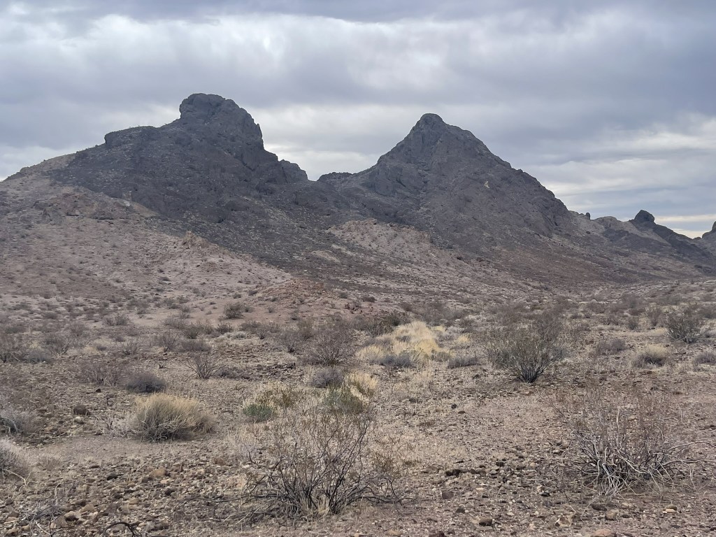
I hiked between a few foothills before reaching the main peak, which looked rather intimidating from below.
I climbed up a steep chute which required a couple class 3 moves.
Once I was above the chute, I climbed up a steep slope of loose rock.
I then climbed up a steep slabby part.
I then zig zagged my way up on some ledges just below the summit.
The ledges provided a class 2 route up the peak which looked unclimbable from below.
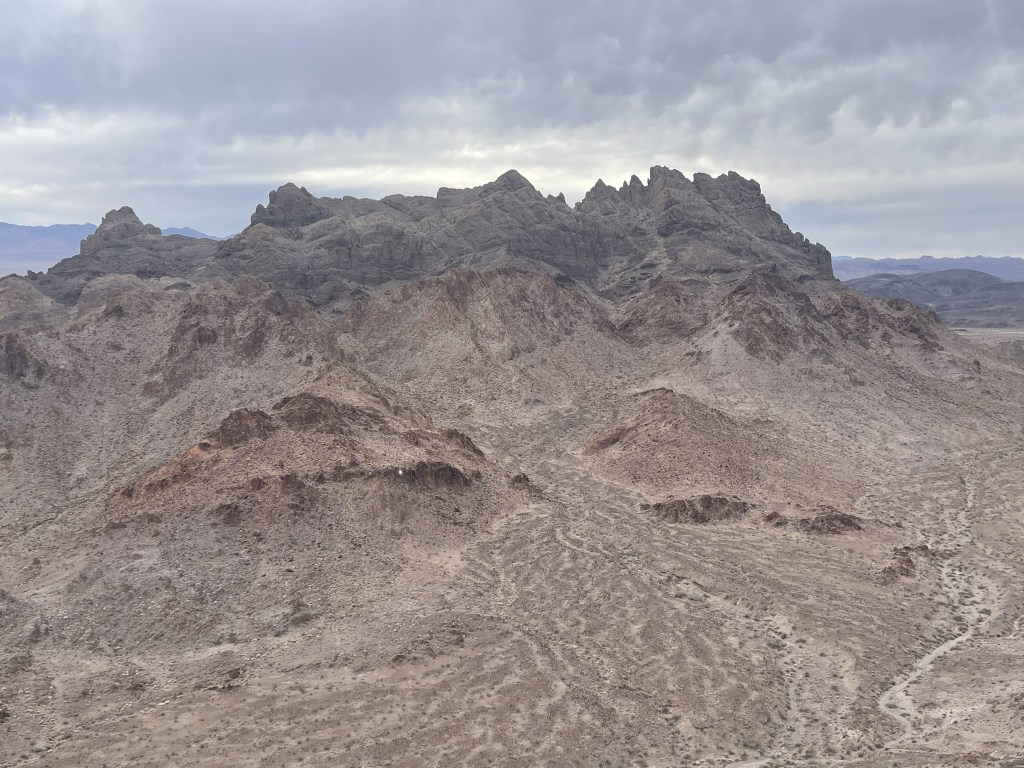
I reached the summit at 1:18pm at 4.6 miles! I signed the register which had been placed in 1999. The previous entry was from January 21. The views were similar to this morning but slightly worse due to being 700 feet lower. I had a great view of Chemehuevi Peak east across the valley. Crossman Peak in Arizona can be seen in the background.
I began descending after a 20 minute break. I made my way down the ledge system and then descended the loose slope. I bypassed the class 3 gully I had come up by going down another loose sloop to the north.
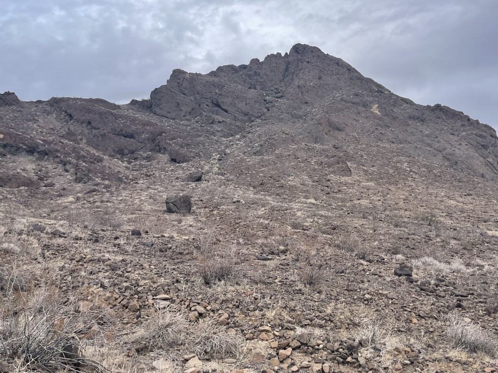
I had some extra time, so I decided to climb an unnamed peak (2509 feet) on the way back. This peak is less than a mile southeast of Stepladder across a large wash (the peak on the right).
I reached the base of the peak at 5.9 miles and began climbing up the west side.
I made it to a saddle north of the peak and then climbed up from the west side.

It was steep and loose, but I was able to keep it class 2.
I reached the summit at 2:42pm at 6.2 miles! I was a bit surprised to find a small register on top. It had only a few entries, the most recent being nearly a year prior. The register had been placed in 2020 and the first entry had named the peak “Stepstool Peak” which I thought was fairly clever. I had a good view of Stepladder to the west.
I descended directly east off the peak. I found a steep wash to climb down the last few hundred feet to the desert floor.

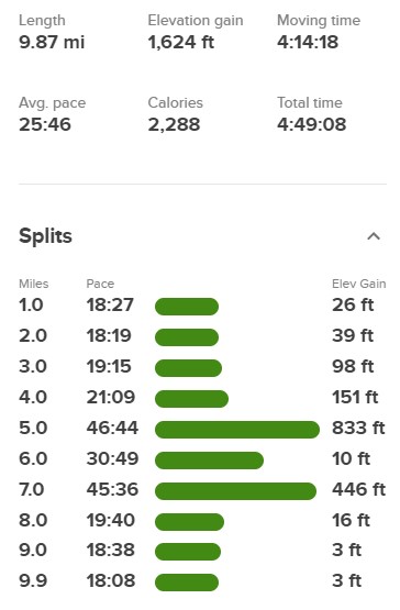
I reached the desert floor at 6.7 miles. From there, it was a long walk back to the car, which I reached at 4:16pm. Stats for this hike were 9.87 miles, 1624 feet elevation gain, and 4:49:08 total time.

I packed up and made the long drive back to pavement. Rather than go southeast on the power line road back to US-95, I went the other direction and was able to take it all the way to I-40. I drove to the starting point for Edgar and Mitchell in Mojave National Preserve and had a good night of sleep.
