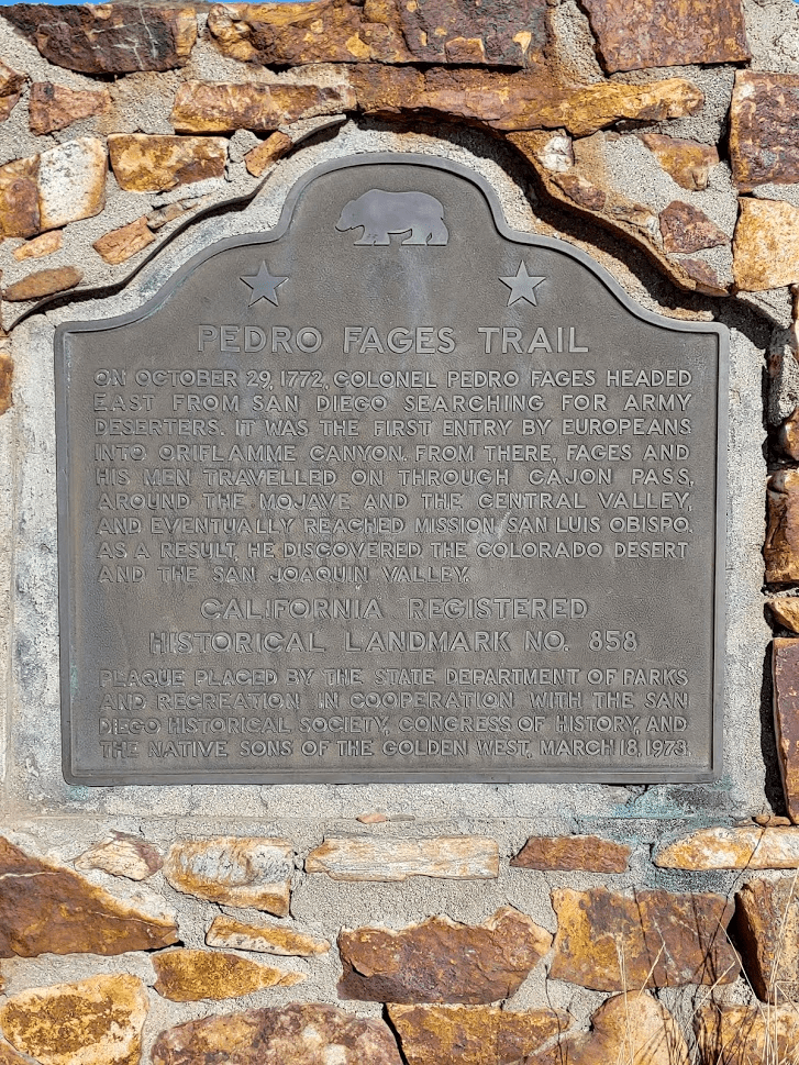
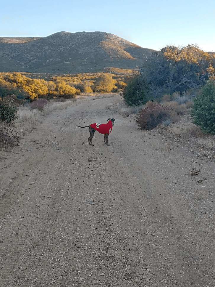
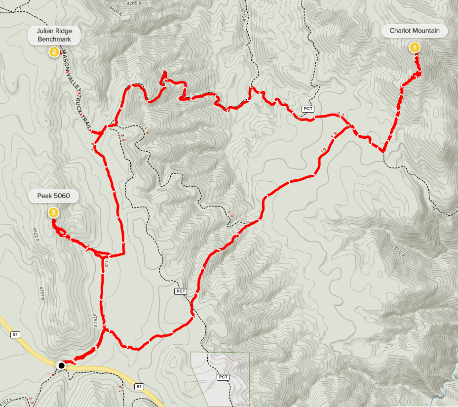
Chariot Mountain (4680 feet) is a modest summit in San Diego County in the transition zone between the Laguna Mountains to the west and the Anza-Borrego Desert to the east. It used to be on the San Diego 100 Peaks List but was removed for some reason many years ago. It lies just a few miles east of the Sunrise Highway, and there is a network of roads and trails in the area, so it is a relatively easy climb. I was planning to combine it with 2 other minor peaks in the area, Julian Ridge Benchmark (4885 feet) and Peak 5060, for a 9 mile loop hike. It would be a much shorter hike than what I’m used to, but I didn’t want to push it too hard since I recently had laser eye surgery a few weeks prior, plus I was trying to be home by 12:30 for the Wisconsin Badgers football game. Stella would be joining me today for the first time in a few months. We made the 1 hour 10 minute drive from San Diego and parked on the side of the Sunrise Highway at the Pedro Fages Monument. Pedro Fages was a Spanish soldier who traveled this way in the 1700s (crossing the mountains and desert in this area was a very difficult task in those days).
We started hiking at 6:24am from 4577 feet.
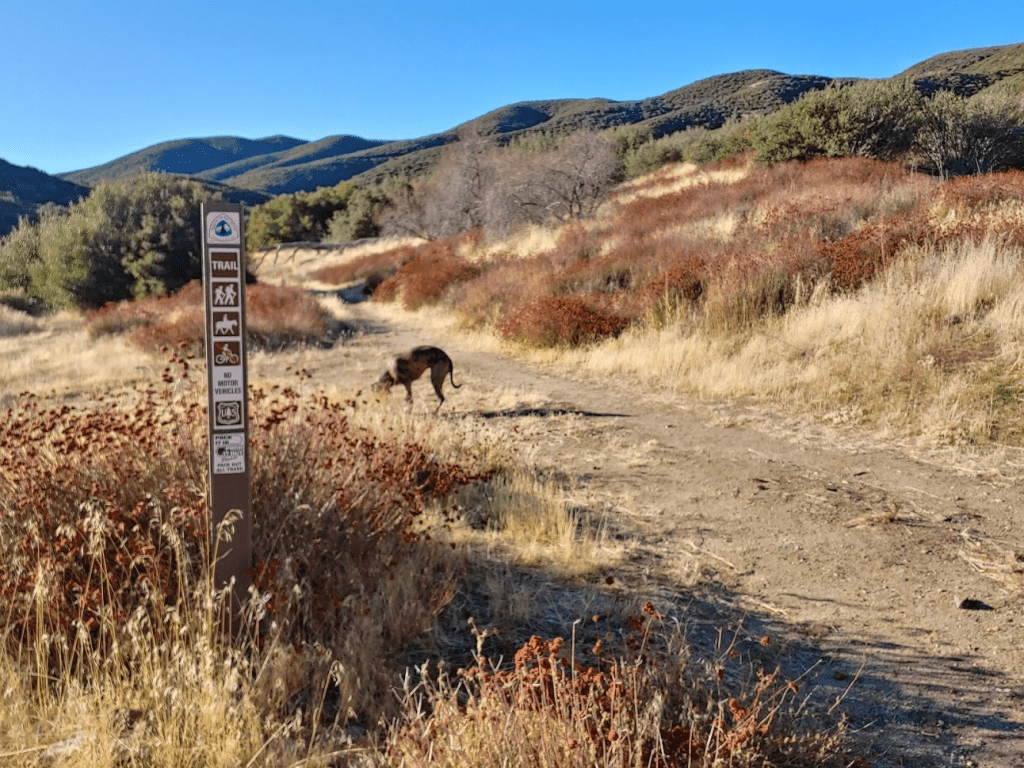
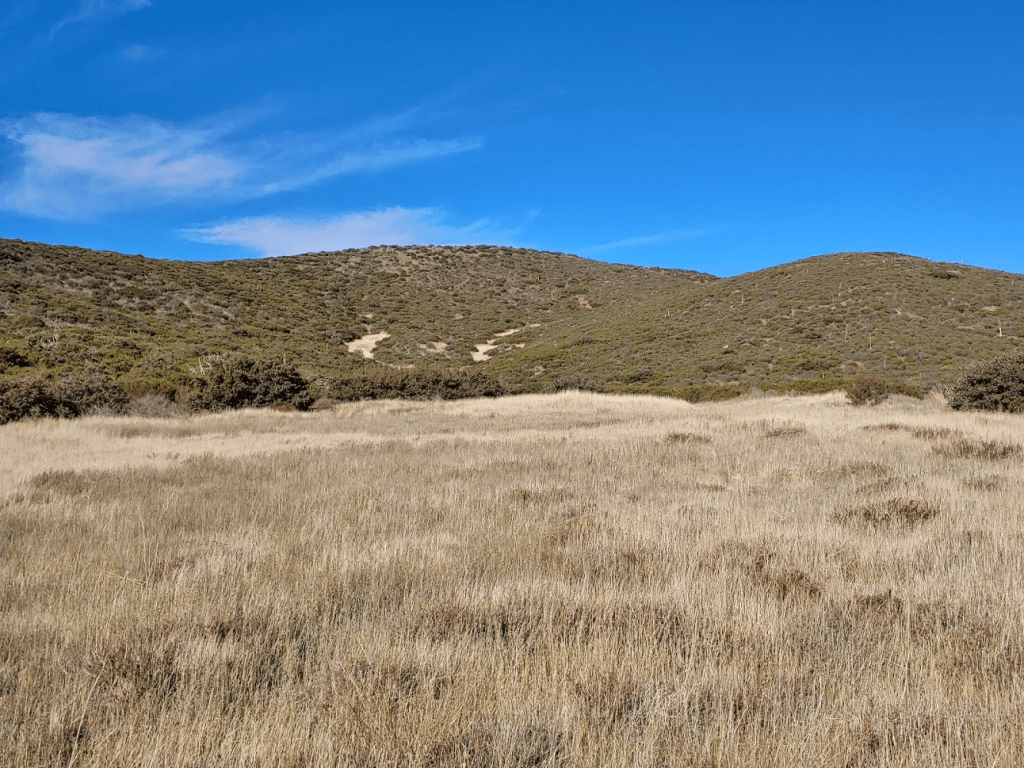
We initially hiked northeast away from the highway. It was very cold first thing in the morning, so we both bundled up. My car said it was 22 degrees! After a short way we left the trail and hiked northeast through some tall grass. We soon found a use trail we could follow which was easier than trudging through the grass.

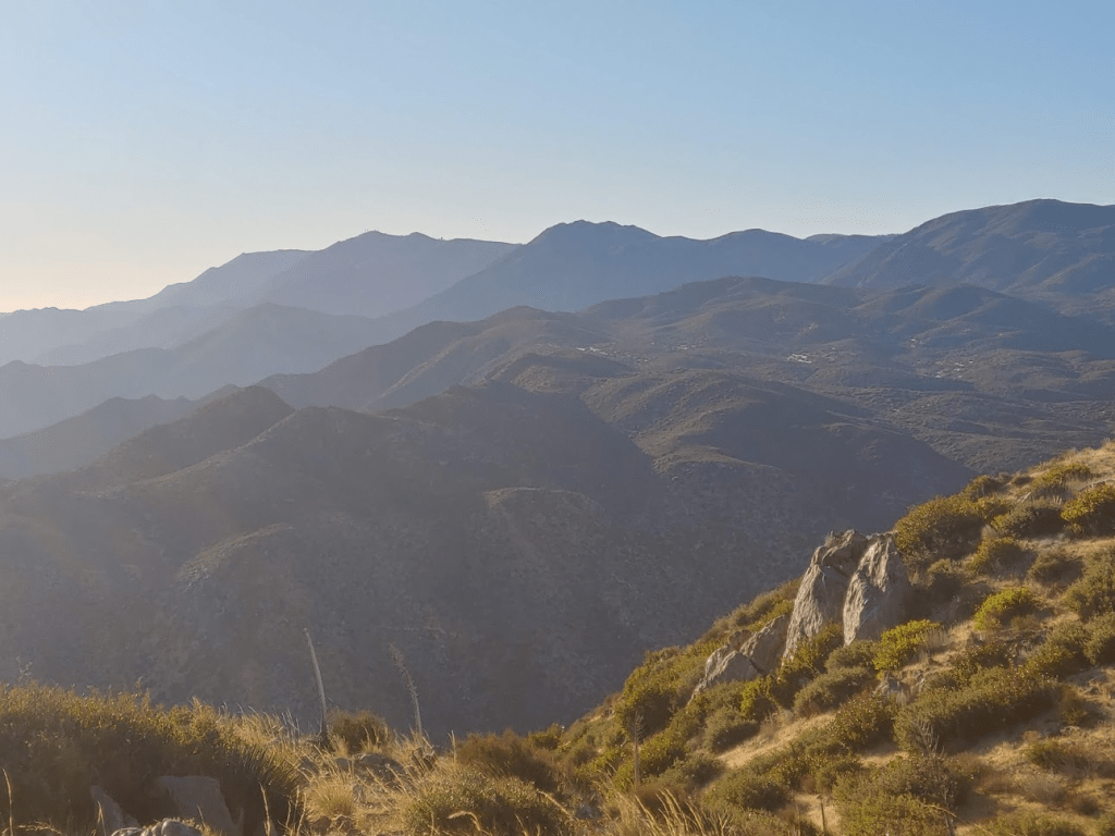
The trail entered some brush but was wide enough so that we didn’t get scratched up. We crossed the PCT at 0.9 mile. Soon the view opened up in front of us. Granite Mountain, a very prominent peak in Anza Borrego State Park, is the impressive looking peak in the middle. Chariot Mountain is the lower, more rounded peak right in front of it.

The “trail” we were on then descended rather steeply into the valley below. It appeared to be an old firebreak. It was somewhat overgrown but still easy enough to follow. This would be an unusual hike in the sense that there was a lot of descent on the ascent portion of the hike (my starting point on the highway was almost the same elevation as the summit of Chariot Mountain). Eventually the sun began to peak out above the mountains to the east.

At 1.42 miles we reached the Mason Valley Truck Trail. I had spotted 2 runners on the road as we were descending towards it. I wondered how far they were going.
At 2.14 miles we reached a T intersection. We went right to stay on the Mason Valley Truck Trail. At 2.36 miles we left the road to begin the final climb to Chariot Mountain. There is some dead brush on the side of the road that marks the beginning of the firebreak. The Mason Valley Truck Trail actually continues all the way down to the desert floor, several thousand feet below. We were able to follow another firebreak up the ridge to Chariot Mountain. It would be about a 500 foot climb from the road in a little over a half mile.
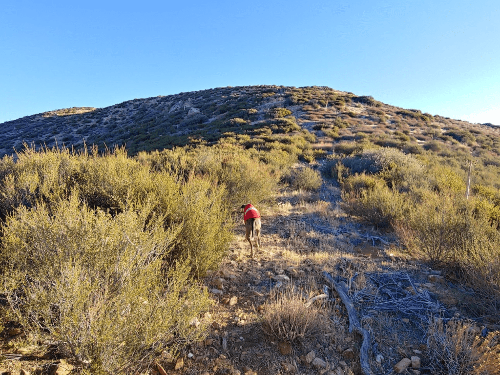
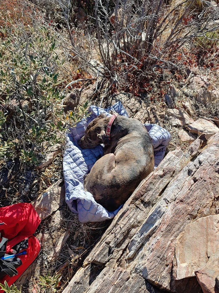
Stella led the way as we neared the summit. Like before, the firebreak made the cross country hiking pretty easy.

We reached the summit at 7:32am at 2.96 miles!

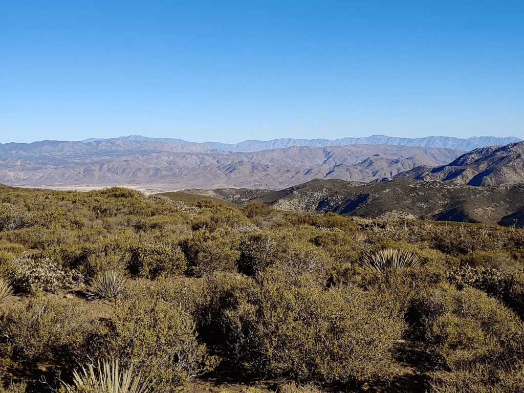
The air was very clear this morning, so the views were tremendous. Directly east was Whale Peak, a 2k prominence peak (1 of only 5 in SD County) in Anza-Borrego.

Looking south I had a good view of the eastern escarpment of the Laguna Mountains, with Monument Peak and Garnet Peak clearly visible.
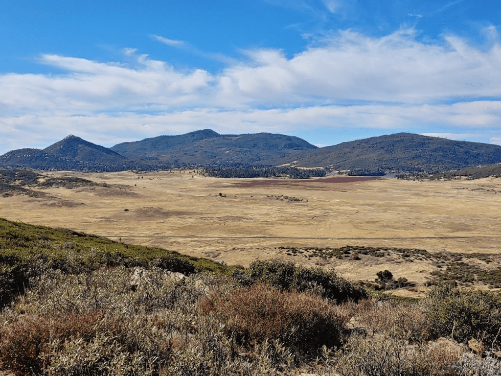
Looking back to the west I could see the valley I had just hiked through. The Mason Valley Truck Trail was easy to spot cutting through the hills on its way up and to the right. I could even make out the firebreak I had initially descended (left center). Cuyamaca Peak is in the background.

I located the register which had a decent number of signatures dating back to 2009. The most recent entry was on November 21. After a short break, we climbed back down the firebreak towards the road, which we reached again at 3.64 miles. It was much warmer than when we started so we both shed layers. That’s the one annoying thing about starting so early – it’s a pain to have to carry around warm clothing for the rest of the day. We began hiking back to the west.

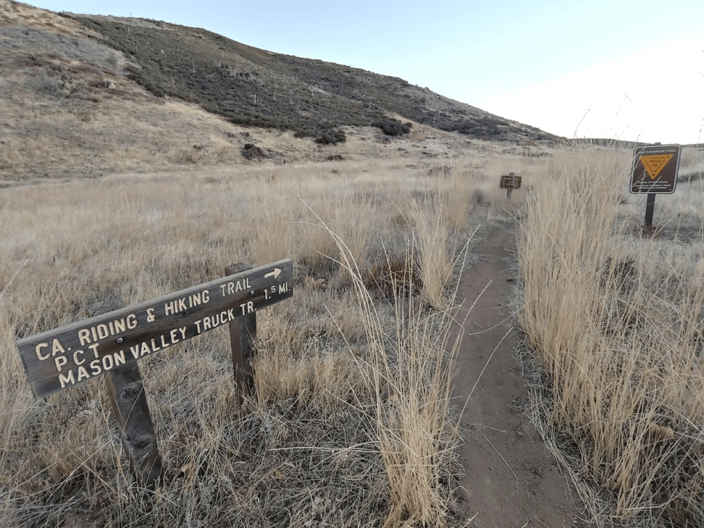
We soon reached the T intersection from before but continued straight. The Mason Valley Truck Trail, which we had hiked in on, goes to the left. At 4.15 miles we reached the PCT once more. The northbound PCT heads to the right, while the southbound PCT continues along the road we were on. At 4.47 miles we reached yet another intersection. We went left to stay on the southbound PCT. The California Riding and Hiking Trail goes right. If you couldn’t tell already, there are tons of criss-crossing roads and trails in the area, so navigation would be very difficult without a map or GPS.
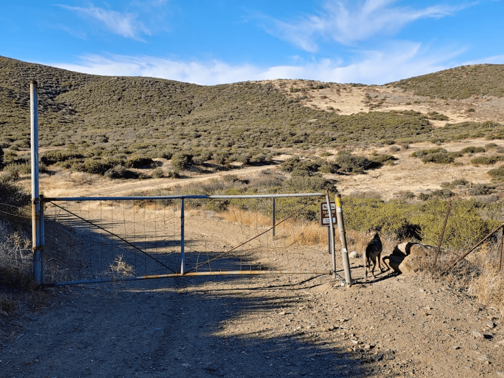
I followed Stella as the PCT winds its way upward to the west. At 5.75 miles we passed through a gate and found ourselves on the Mason Valley Truck Trail again.
We went right (north) until we reached a small grove of pine trees (the only ones we would see all day).

Here we left the trail to climb towards Julian Ridge Benchmark. It was a very short and easy cross country climb (about 100 feet from the road). We reached the benchmark at 9:04am at 6.36 miles!
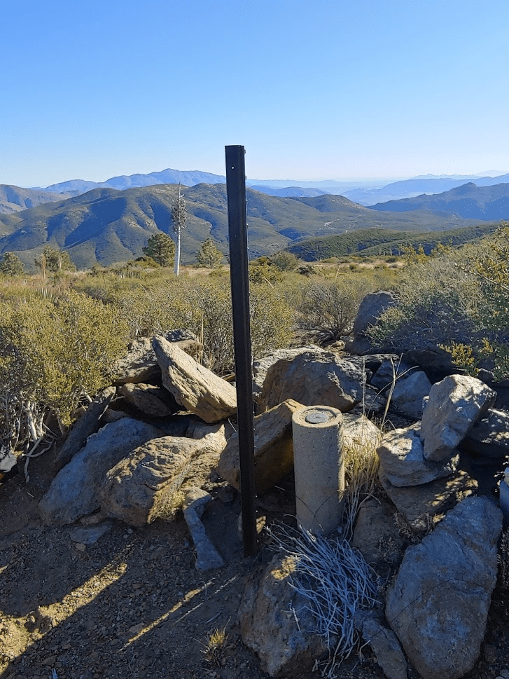
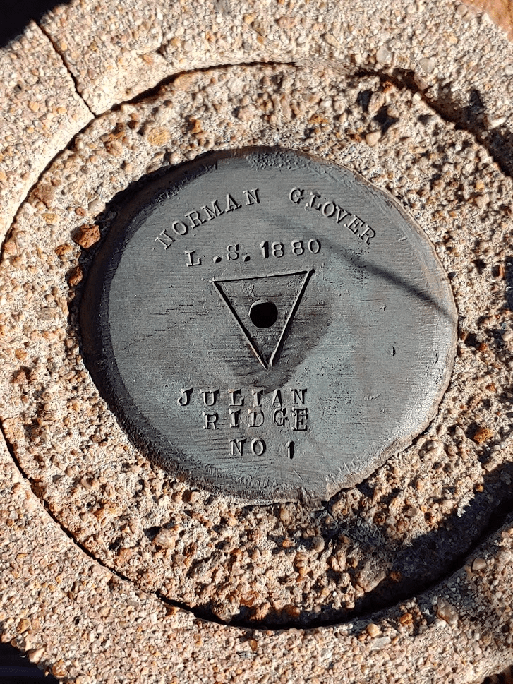
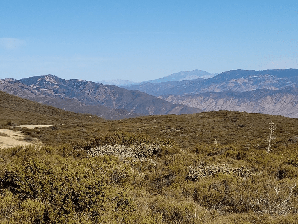
I signed the register, which had just a few entries dating back to 2018. The most recent entry was from September 19th. The views again were outstanding. Looking east I had a great perspective of Granite Mountain (left), Chariot Mountain (right foreground), and Whale Peak (right background).

To the north I could see Toro Peak and the rest of the Santa Rosa Mountains (Lorenzens, Rabbit, and Villager Peaks). I could also make out Hot Springs Mountain and San Ysidro Mountain.
Further north I could even see San Jacinto and San Gorgonio!
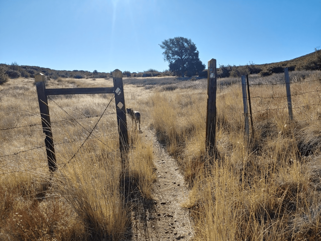
After another short break we hiked back down to the road and starting walking south in the direction of the highway. We were soon passed by 3 dirt bikers. At 6.9 miles we reached the intersection where we had passed through the locked gate before. We went right and were now on the California Riding and Hiking Trail. We soon passed through a barbed wire fence. We passed through a few of these during the hike – I think we were crossing back and forth between state park and national forest land. The geography here is pretty confusing though so I’m not sure.
We passed 2 mountain bikers heading the other way. At 7.62 miles we left the trail to climb our final peak of the day, an unnamed peak of elevation 5060 feet (this would be the high point of the day).
We hiked through some tall grass, passed through another barbed wire fence, and then went up the slope. This was the worst brush we had to go through on this hike but thankfully it was pretty short (it was about a 300 foot climb from the trail).

We reached the summit at 9:55am at 8.03 miles! I was surprised to find a register up here on such an obscure peak. There were just a few entries dating back to 2016. Stella was starting to look tired, so I was glad we were almost done.
We had a nice view of the Cuyamaca Mountains to the west. From left to right: Stonewall Peak, Cuyamaca Peak, Middle Peak, and North Peak (not pictured).
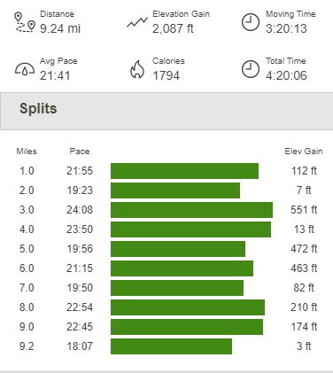
We spent some time soaking in the views before making our way down. We climbed down the slope of Peak 5060 and reached the trail again at 8.46 miles. From there it was a pretty quick hike back to the highway. We reached the car at 10:43am. This hike totaled 9.24 miles, 2087 feet elevation gain, and 4:20:06 total time.
What a great hike! Even though it was easy by my standards, it felt nice to get out after a brief hiatus due to my recent eye surgery. It was also fun to bring Stella along, and we had beautiful weather (despite being a little cold at the start).

