It was already time for my second trip of the year to the Sierra. I had climbed some peaks in the Domelands Wilderness as well as Spanish Needle a few weeks prior. This time I was planning to climb 3 peaks along the southern portion of the Sierra Crest: Cartago, Muah, and Olancha. First up was Cartago Peak, a 10,480 foot peak near the town of the same name. I left early on Friday morning and made the 4 hour 20 minute drive to the trailhead. From US-395, I went northwest on a good dirt road at the northern end of town. I crossed over the LA Aqueduct and then went south for about a half mile. From there, I went west on a rough road for a short way and parked at the national forest boundary.
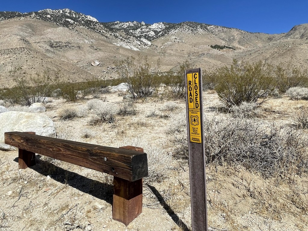
This hike would probably be the steepest hike I had ever done. It was only 5 miles to the summit, but I needed to gain over 6400 feet of elevation. Due to the extreme elevation difference, the trailhead was quite low which made me concerned about the heat. Thankfully, it was only 70 degrees as I got started so I was hoping to get as high as possible before the afternoon heat set in. I began this hike at 9:28am from 3869 feet above sea level. I followed the 4WD road as it continued past the national forest boundary. I could have driven a little further, but the road narrowed and got rougher as I approached the eastern slopes of the Sierra. At 0.2 mile I passed through some wooden posts that would have blocked any further driving anyway.
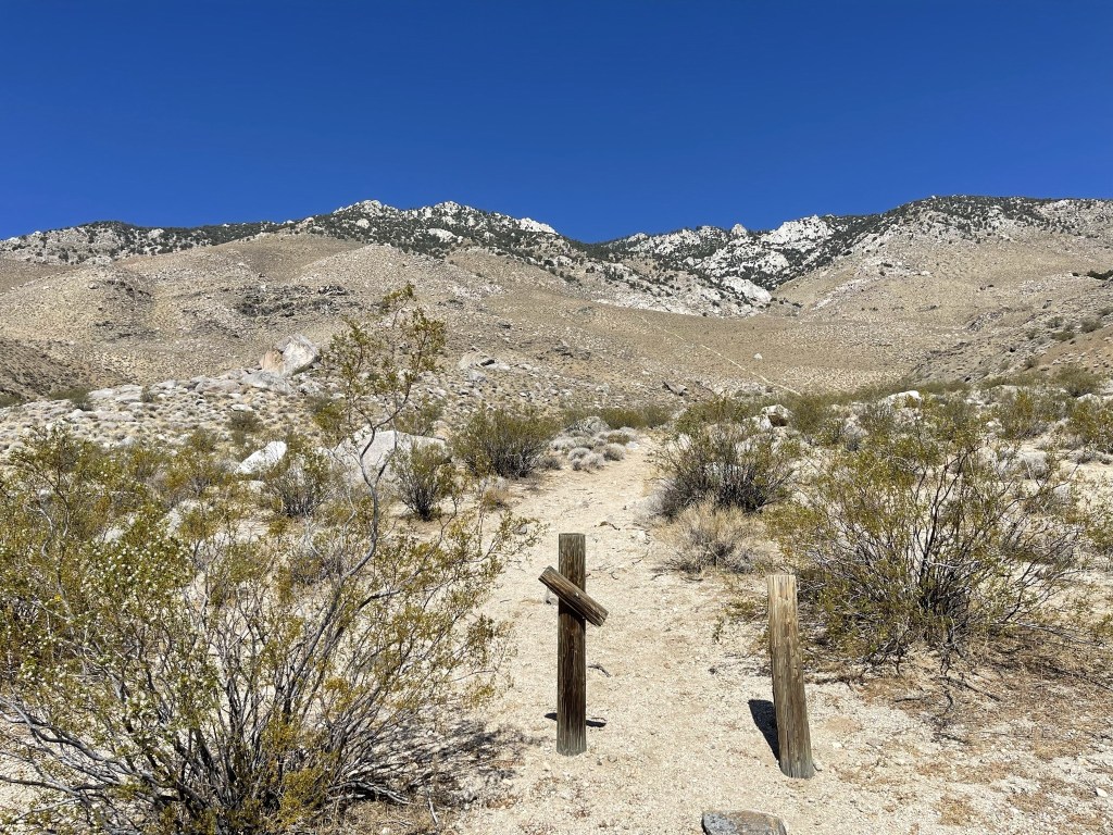
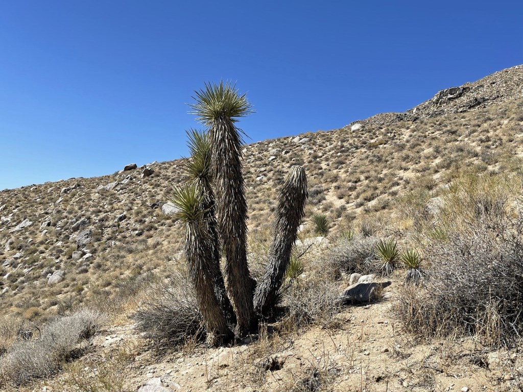
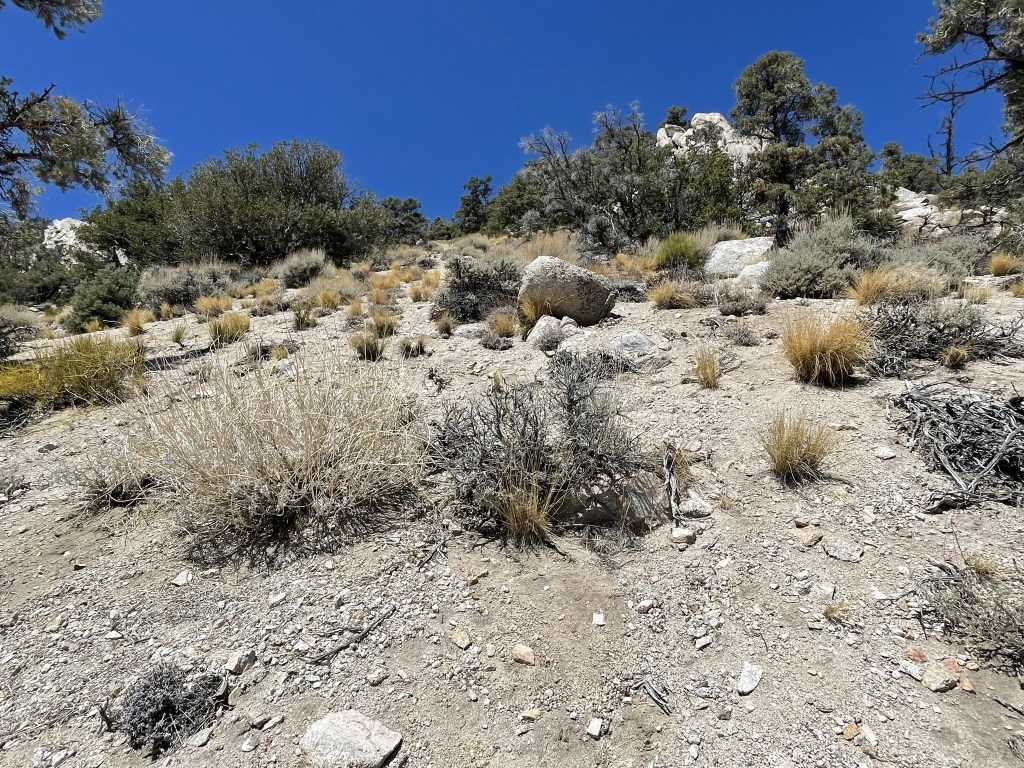
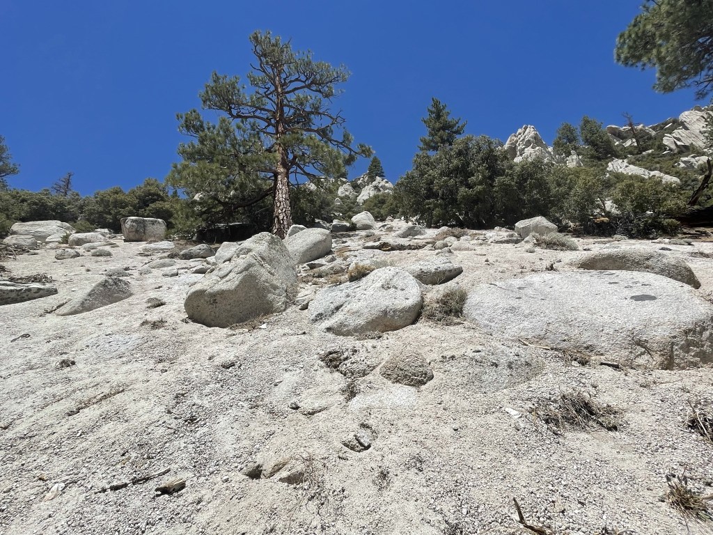
Beyond the posts the road narrowed into a single track trail. At 0.4 mile I hit the lower slopes and began the steep climb. This part of the Sierra is very dry (especially at such a low elevation). There were a few Joshua Trees scattered around, but none were very big.
The sandy trail was very steep, so progress was slow.

The trail petered out at 0.8 mile. I had already climbed 1200 feet to this point.
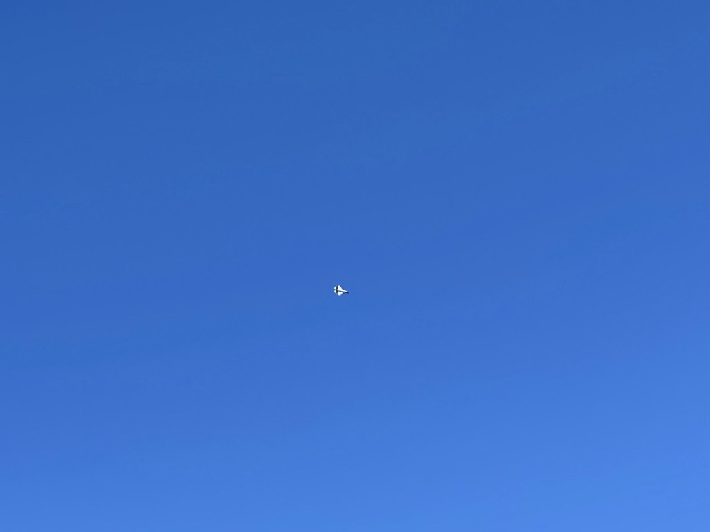
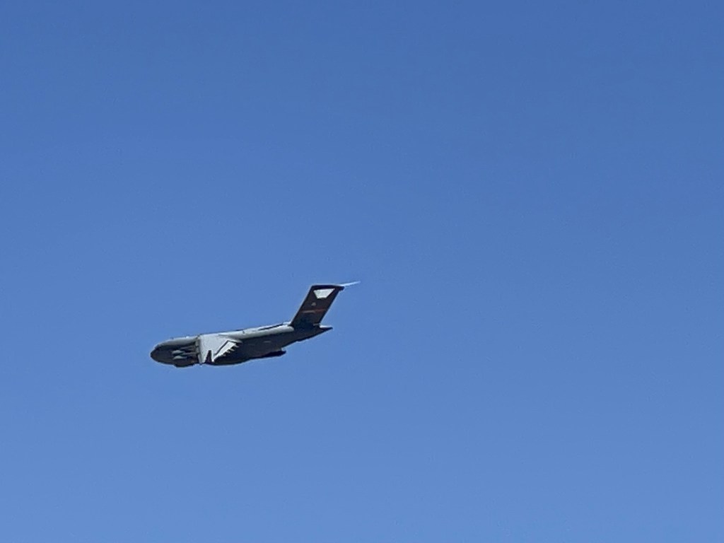
All of a sudden, I heard a loud noise approaching from the south. I looked up and saw a fighter jet flying towards me. I had just enough time to cover my ears before it flew directly overhead. It must have only been a few thousand feet above me. It startled me so much that I actually lost my balance and fell over. 3 more jets flew by in the next 30 seconds, but they weren’t as close as the first one. I had composed myself enough by the time the fourth one flew over that I managed to get a picture.
After the excitement was over, I reached the lower tree line around 5400 feet.

The slope got even steeper from 5500 feet to 6500 feet.
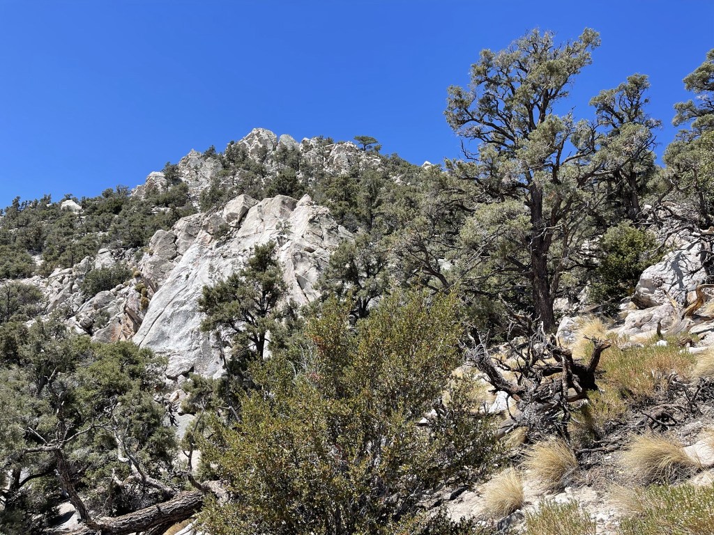
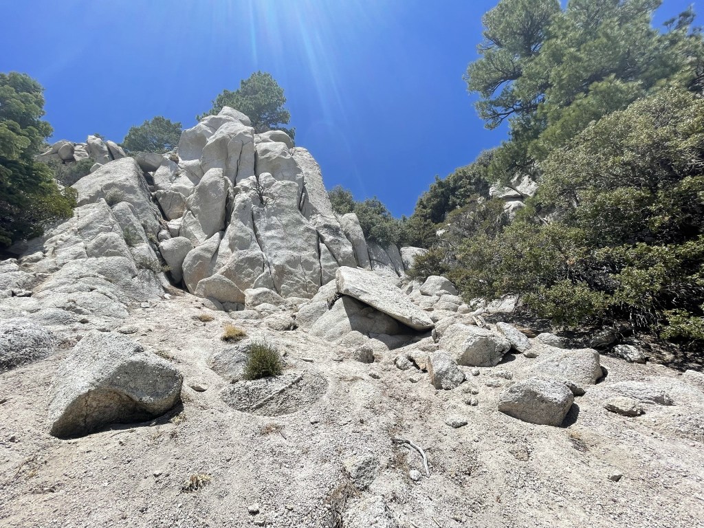
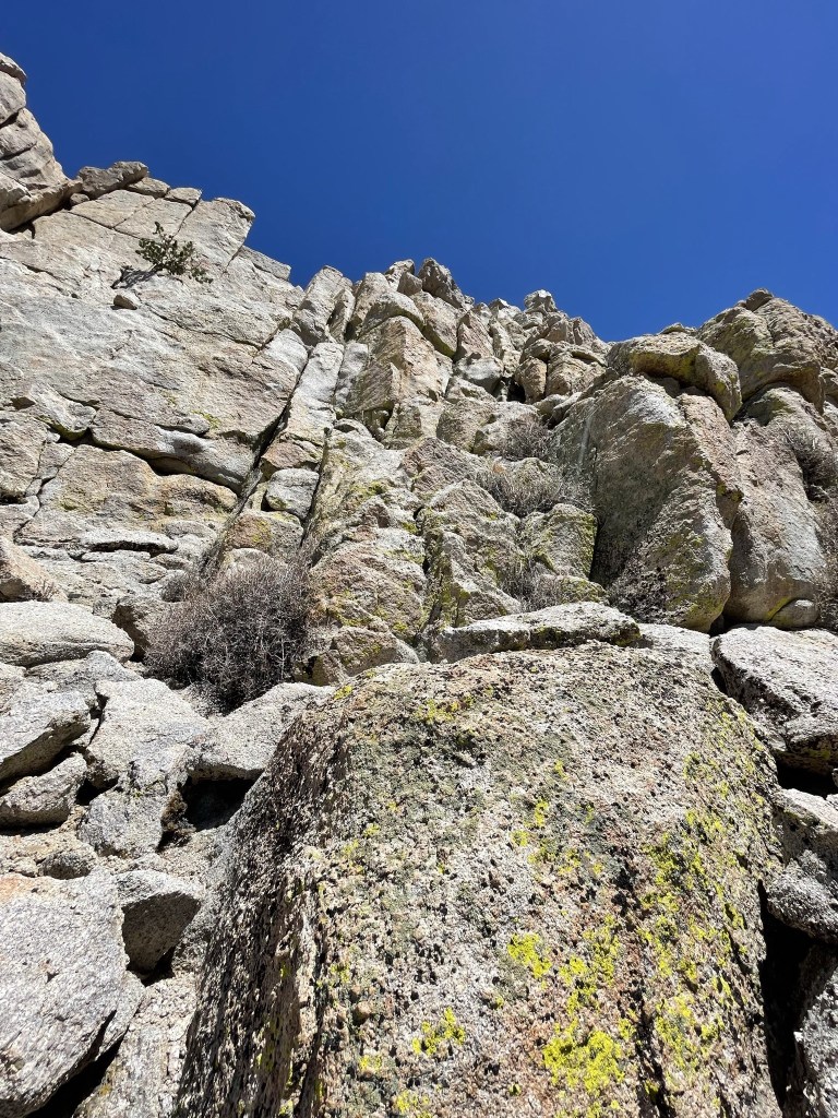
I noticed some large rock features as I climbed higher.
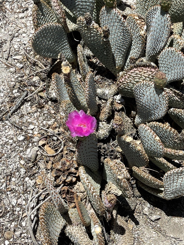
I found a single pink flower on my way up.
At 2.1 miles I saw a large military jet flying close by. I guessed all of these jets were coming from the nearby China Lake Naval Base.
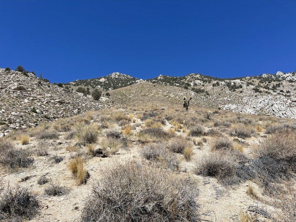
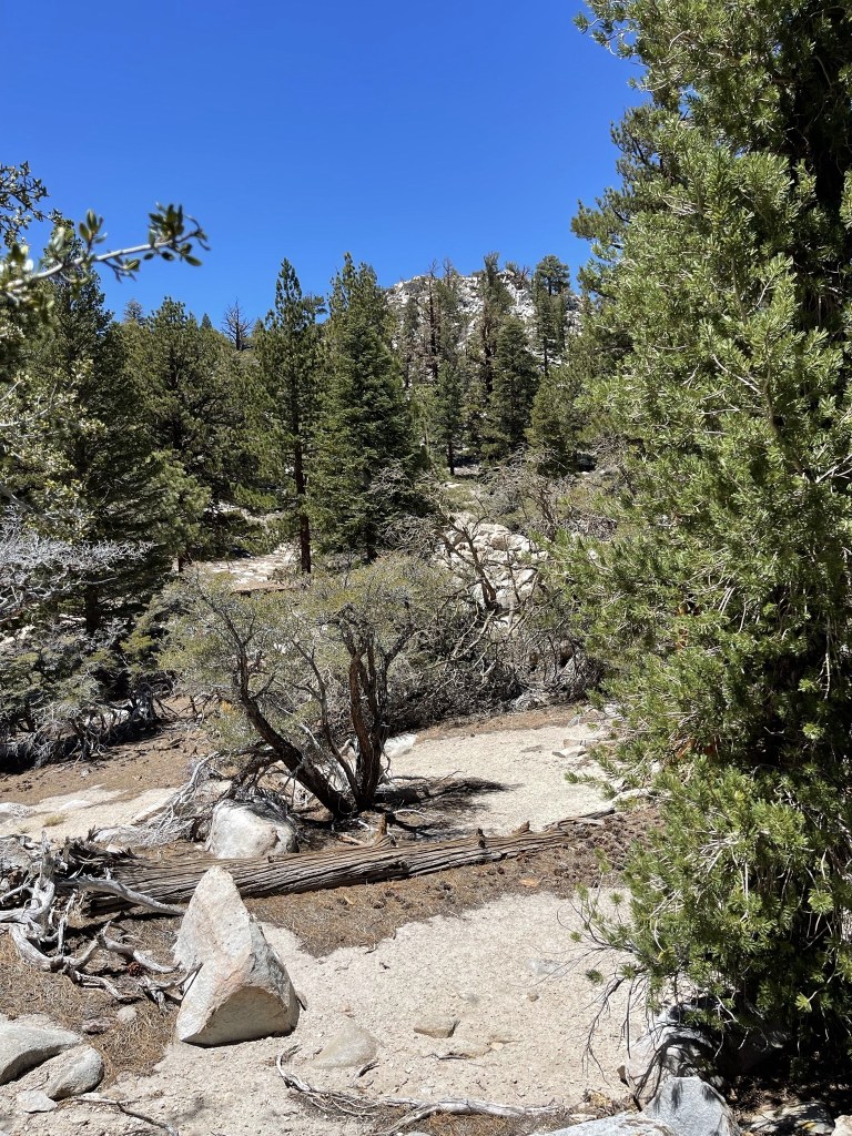
More trees started to appear as I climbed higher.

The slope really steepened again around 7500 feet. The sand made it extremely difficult to make any forward progress. It was the classic “2 steps forward, 1 step back.” I had to zig zag up the slope at times to make it a little easier on myself. My poles were absolutely crucial here.
There were some footprints in the sand that I was able to follow to make it a little easier. There were a few rocky parts as well, but it was mostly just sand.
I reached the top of the steep part at 2.5 miles at the 8500 foot level. It was crazy to think I had climbed 4700 feet already in such a short distance. The grade lessened beyond this point which was a welcome relief.

I continued climbing as the tree cover started to thicken. At 2.8 miles I reached the main east-west trending ridge.
I now had loose pine needles to deal with in addition to the sand.

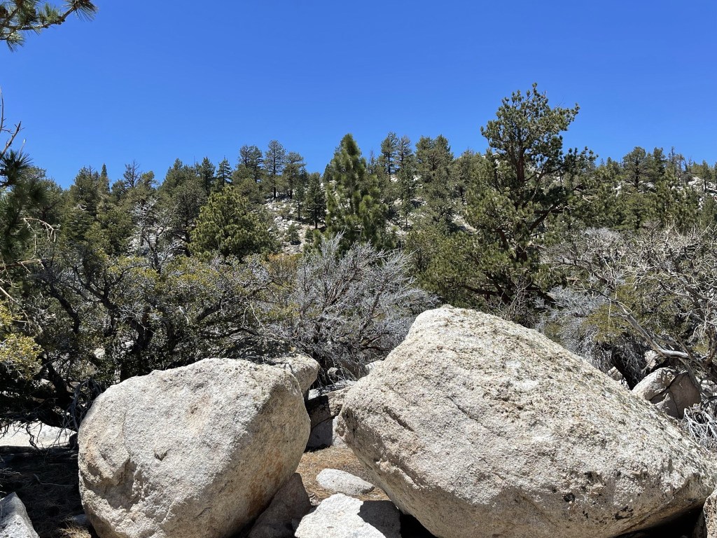
I made a minor descent as I passed between a few rocky bumps.
I reached a saddle at 4.1 miles at 9694 feet. I had one more steep slope to climb up before reaching the summit plateau.

I made my way southwest up the slope. I was starting to feel the altitude here.
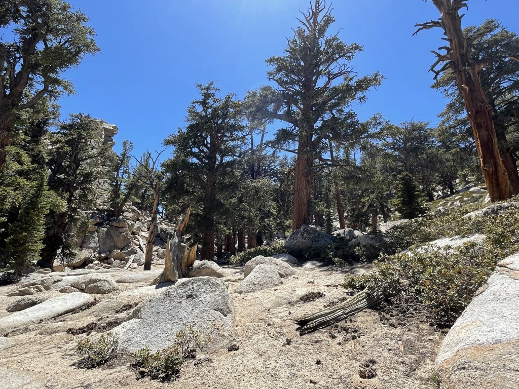
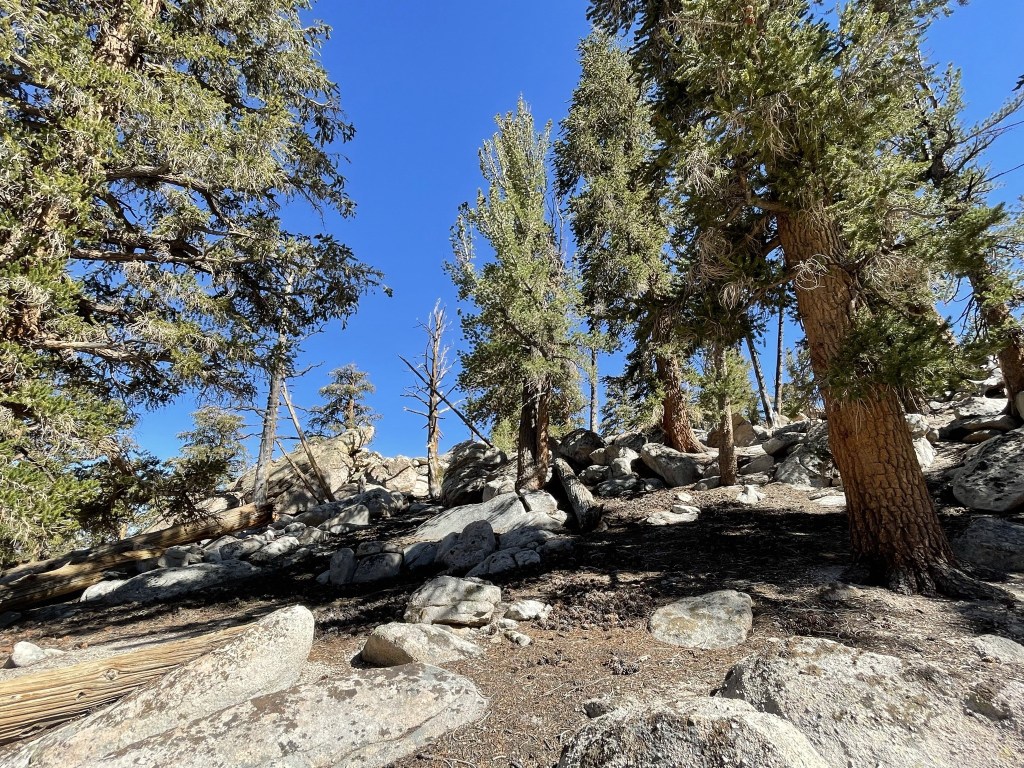
I soon reached the summit plateau. High elevation limber pines and foxtail pines dominated the landscape.
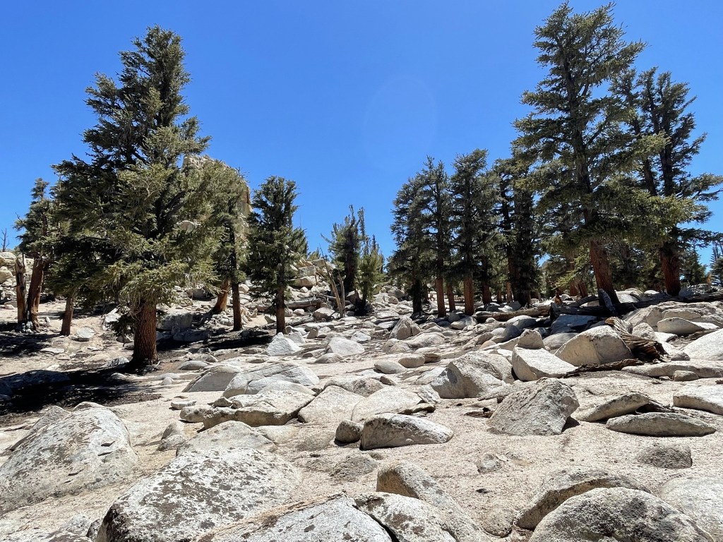
There were numerous rock outcroppings on the plateau. It would have been difficult to identify the highest one without GPS. I found the correct one and approached from the western side.
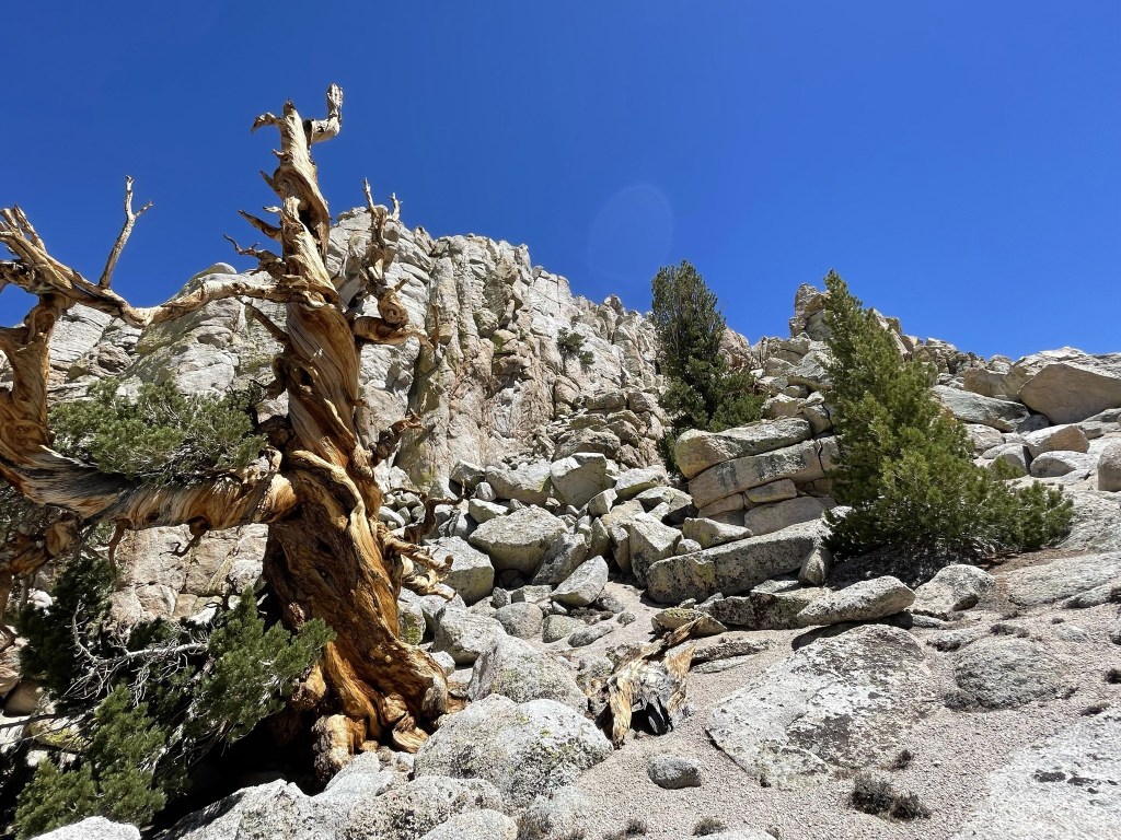
I climbed up the class 3 summit block.
There were a few tricky sections, but it wasn’t too difficult.

I reached the top at 2:40pm at the 5 miles mark!

Despite the short distance, my legs were pretty sore from the extreme elevation gain. I signed the register which dated all the way back to March 13, 1970. The previous ascent was May 15 of this year. I located a benchmark.

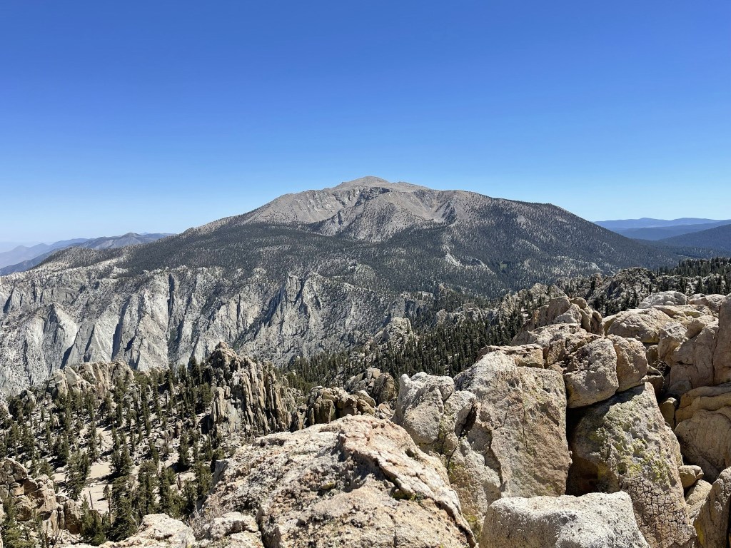
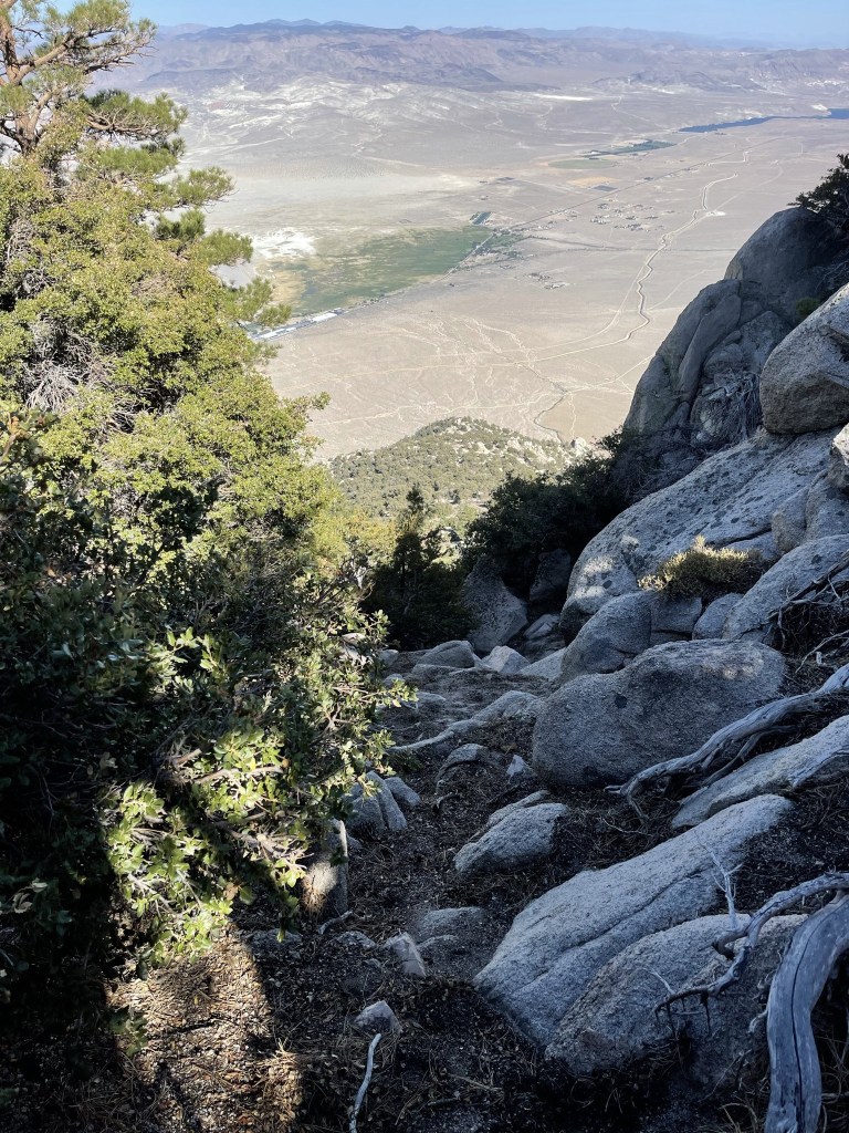
It was a perfectly clear day, so the views were tremendous. 12,123 foot Olancha Peak was just a few miles south. I was planning to climb Olancha on Sunday.
To the west I could see the Mineral King peaks in Sequoia National Park.

To the northwest I could see Mount Kaweah (left).
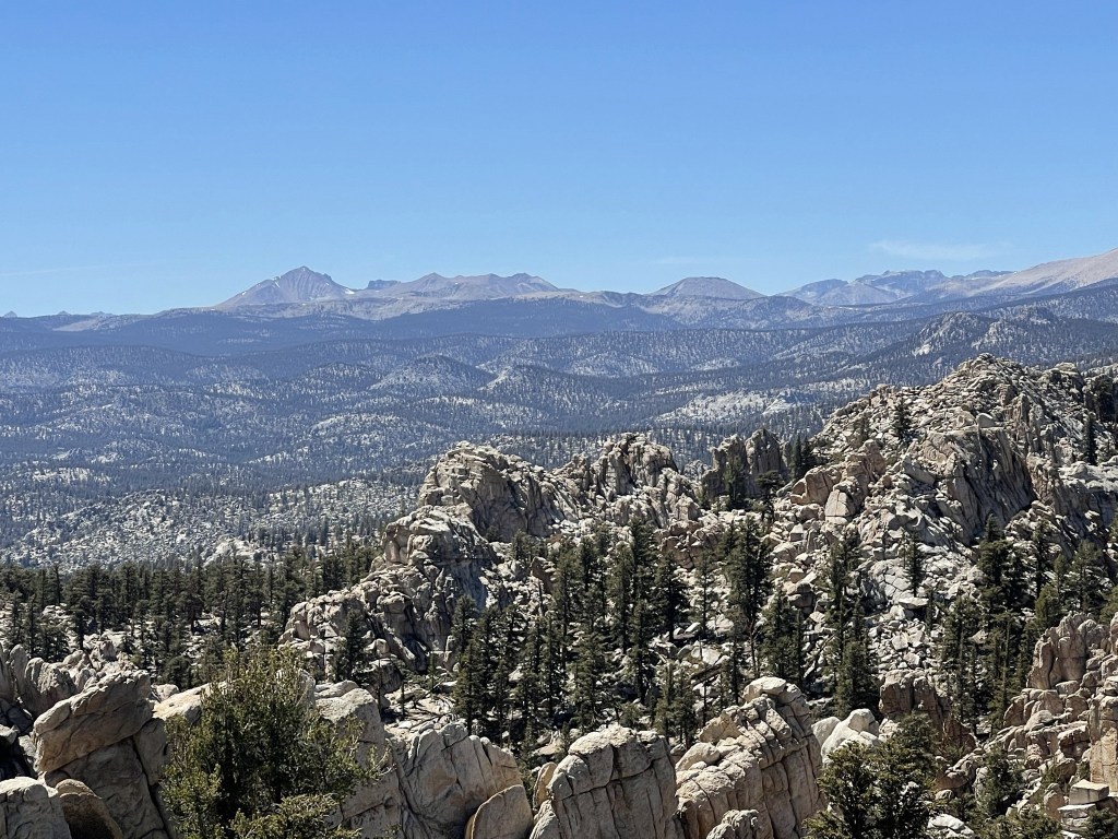
To the north I could see 14,026 foot Mount Langley.

I could also see Muah Mountain to the north, with White Mountain Peak in the background. I planned to climb Muah the next day.

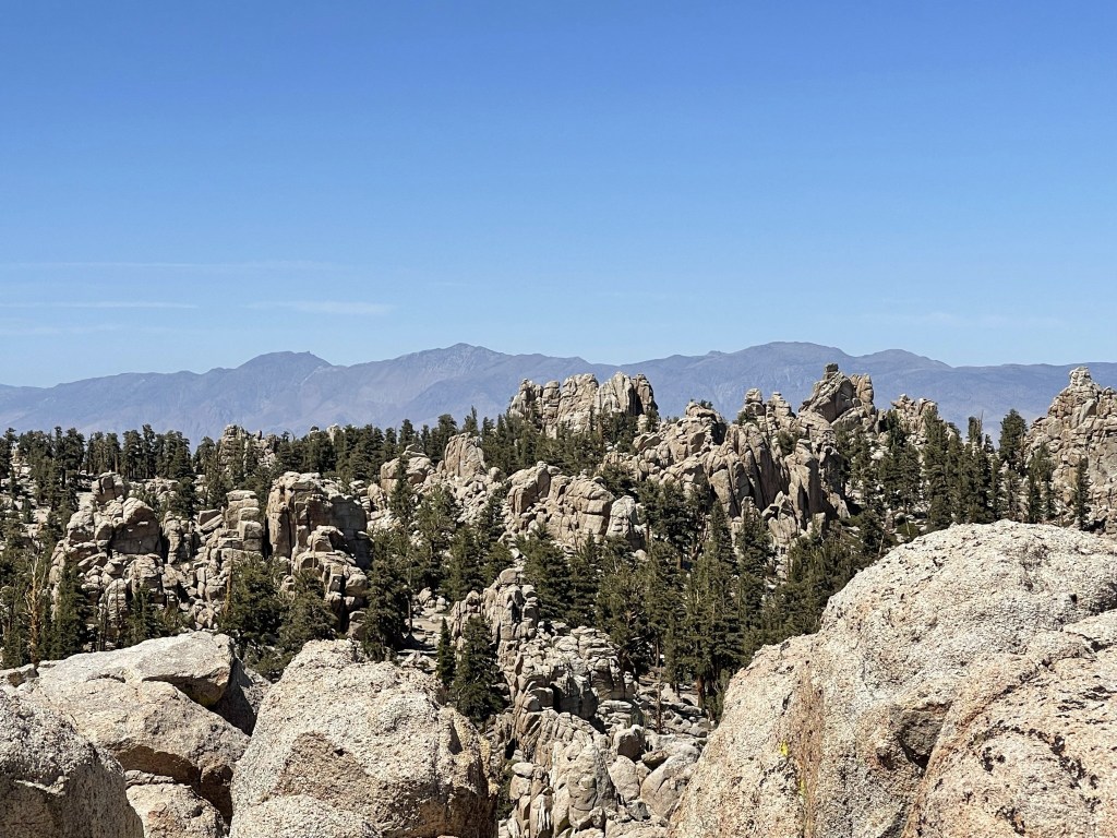
To the northeast I could see Mount Inyo, Keynot Peak, and New York Butte.
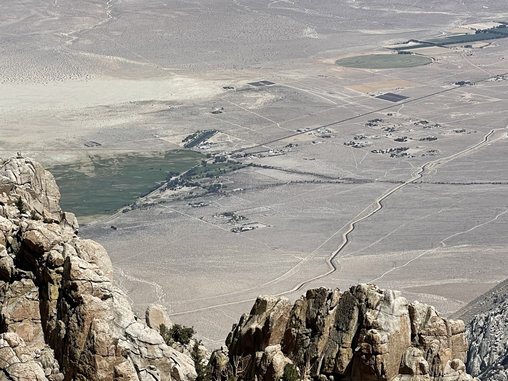
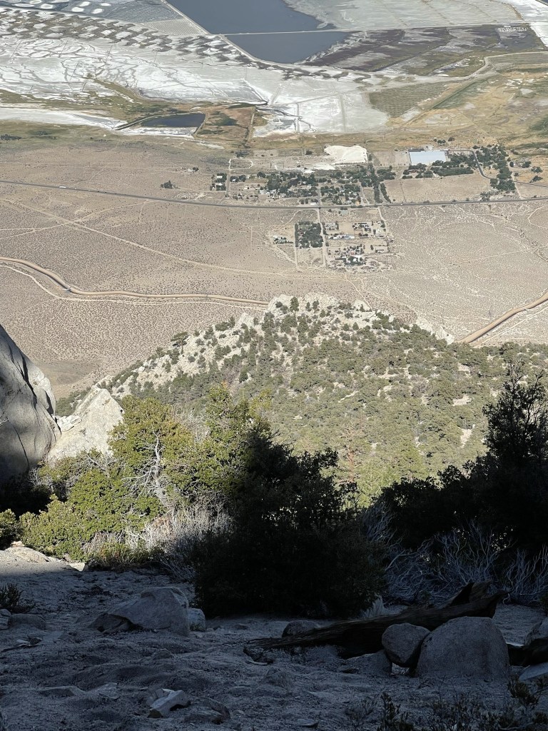
Looking down into the Owens Valley I could see the tiny town of Olancha over 6000 feet below me. The LA Aqueduct can be seen on the right side of the picture.
I took a 45 minute break before beginning my descent. It was nearly 3:30pm which felt pretty late considering it had taken me 5 hours to reach the summit, but I knew the descent would be considerably faster. I carefully climbed down the summit block.

I followed my ascent route as I hiked back down to the saddle.

I reached the saddle at 5.7 miles. There was a slight uphill section at this point.
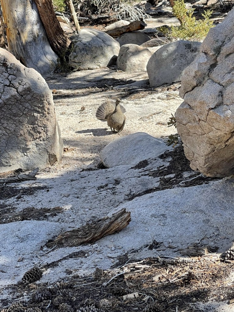
At 6.1 miles I encountered a large bird about 20 feet in front of me. It started squawking at me and even came towards me a little. It clearly was acting defensively so I assumed it had a nest nearby. I decided to backtrack slightly and go around a different way.
At 7.4 miles I reached the halfway point which was where the really steep part began.
I made really good time down the rest of the way. The sandy slope which had been so difficult to ascend was very easy to descend. I was able to sand surf down large sections of the mountain.
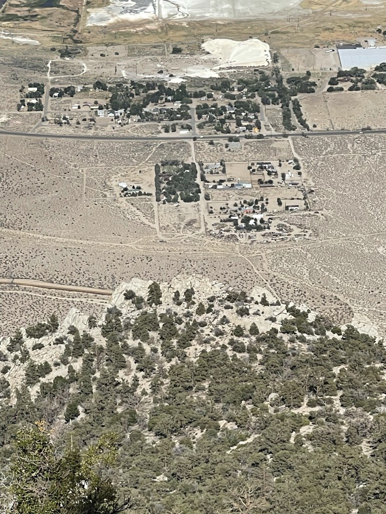
I could see the little town of Cartago down below. The aqueduct can be seen in the left center of the picture below. My car was parked near the aqueduct.
The descent was a lot of fun. It started to warm up as I got lower, but thankfully the sun was setting behind the mountains to the west, so I had a good amount of shade.
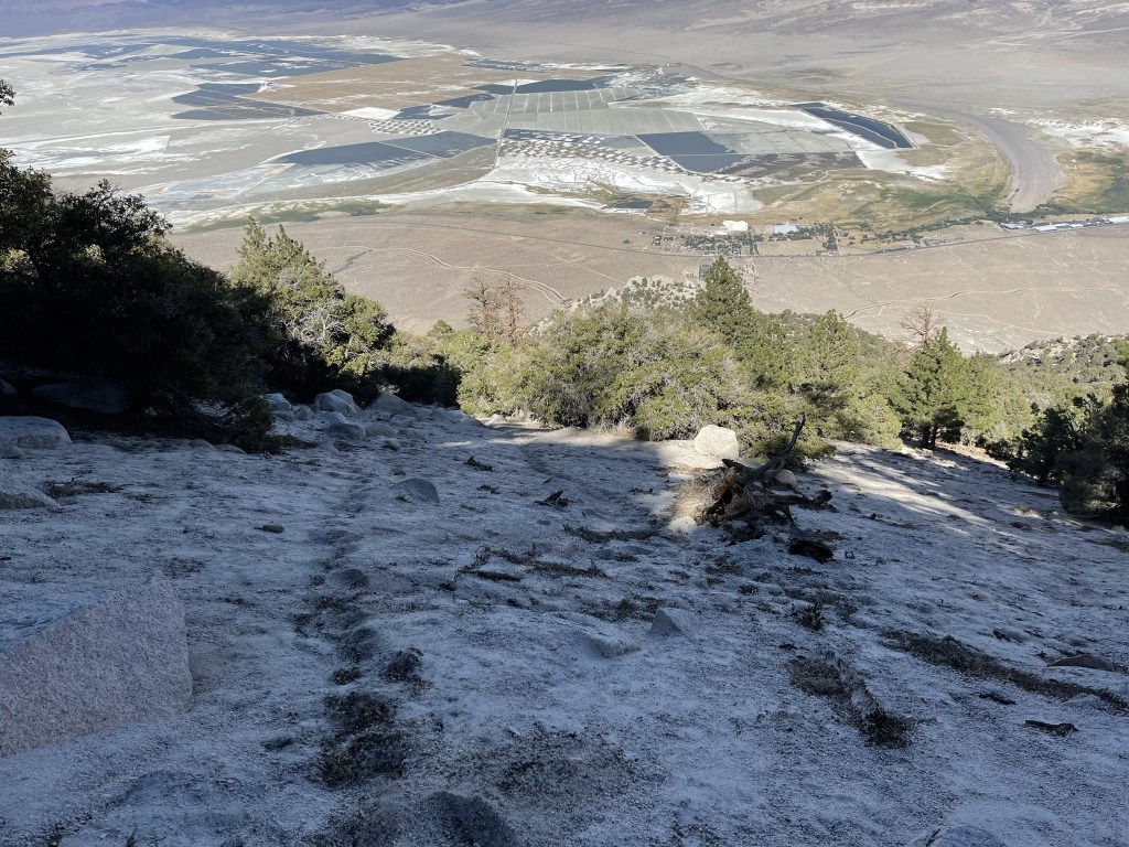
I was able to spot my car from pretty far above (right center).

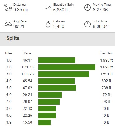
I reached the car once more at 5:34pm. It was 91 degrees but didn’t feel too hot with a light breeze. This hike totaled 9.85 miles, 6880 feet elevation gain, and 8:06:04. The ascent took 5 hours 12 minutes while the descent took just 1 hour 54 minutes (with 45 minutes on the summit).

It took me about an hour to make the drive to Horseshoe Meadow, which is where I planned to start my hike the next day. Horseshoe Meadow is a great place to spend the night due to the ample parking and cool temperatures (thanks to the nearly 10,000 foot elevation).
