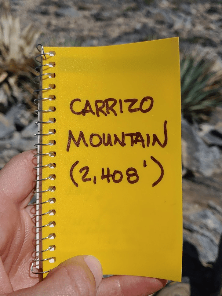
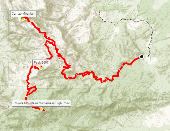
After a week of nonstop cloudy and rainy days near the coast, I was excited to get out to the desert for some nice weather and sunshine. It sounded like the desert had gotten quite a bit of rainfall during the week too, but the forecast for this Sunday was mid 70s and clear skies. With the COVID-19 pandemic ongoing, my hiking options were somewhat limited. About 2 weeks prior, the state of California had closed all state parks, including the massive Anza Borrego Desert State Park. Anza Borrego is so huge and not heavily patrolled that you could probably get away with hiking in the more remote regions of the park, but I wanted to be as respectful and socially responsible as possible during these crazy times. I planned instead to climb some peaks in the Coyote Mountains, which are near Ocotillo, California and just east of Anza Borrego in Imperial County. A portion of the range is federally protected as wilderness, while the rest is open to OHVs and whatnot as part of Yuha Desert Recreation Area. My two main objectives would be 2408 ft Carrizo Mountain, which is the highpoint of the range, and another unnamed peak of elevation 1976 ft which is the highpoint of the wilderness portion of the range. My starting point would be from Painted Gorge which is on the eastern side of the range. Much of the route would be on old mining roads, with a few portions of cross country hiking. I woke up at 4:30am and was on the road by 5. I exited Interstate 8 at the Imperial Highway Exit in Ocotillo. I turned east onto W Evan Hewes Highway (Hwy S80) and proceeded a few miles to Painted Gorge Road. There is a bridge out on the Evan Hewes Highway and multiple signs stating the road is closed, but you can easily go around the bridge via a dirt road to the south. It is about 5 miles on Painted Gorge Road to where I parked. It starts out very well graded but eventually there are a few rutted sections where high clearance is recommended. I started hiking at 6:56am from 530 feet above sea level.
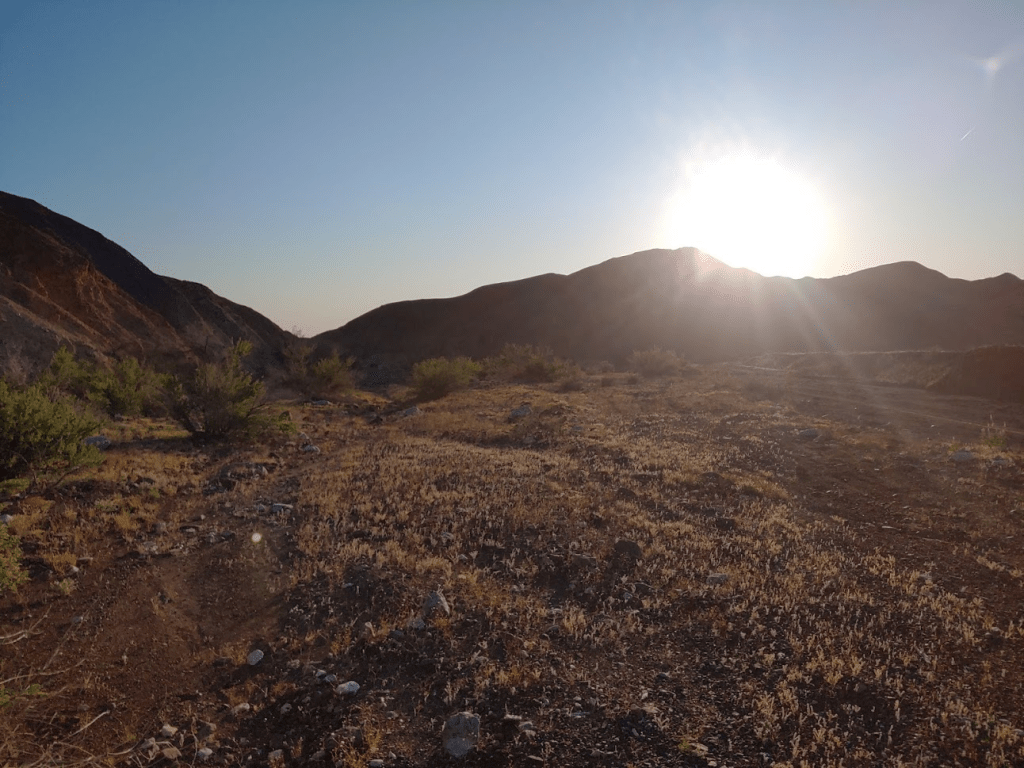
The sun was already above the hills behind me to the east.
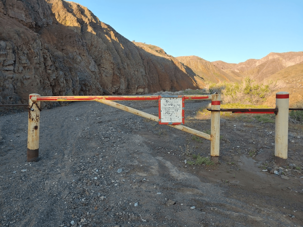
I passed through a seasonal gate which is closed to motor vehicles from January 1st to July 1st to protect bighorn sheep lambing. You probably wouldn’t want to hike this route other times of year with people driving OHVs all over the place.
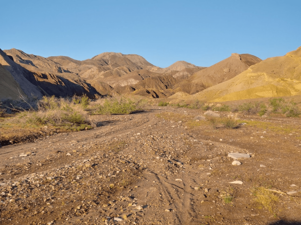
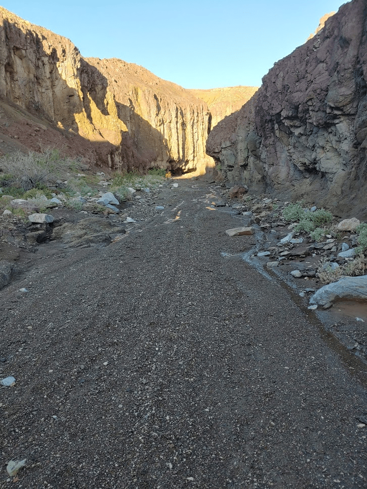
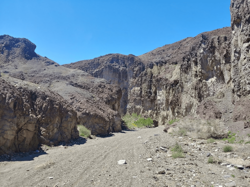
I proceeded up the gorge, which starts out pretty wide and sandy.
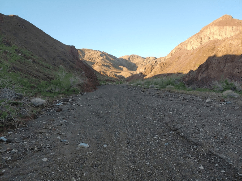
Eventually the walls steepen and narrow. Much of the rock was a reddish color that I assume gives Painted Gorge its name.
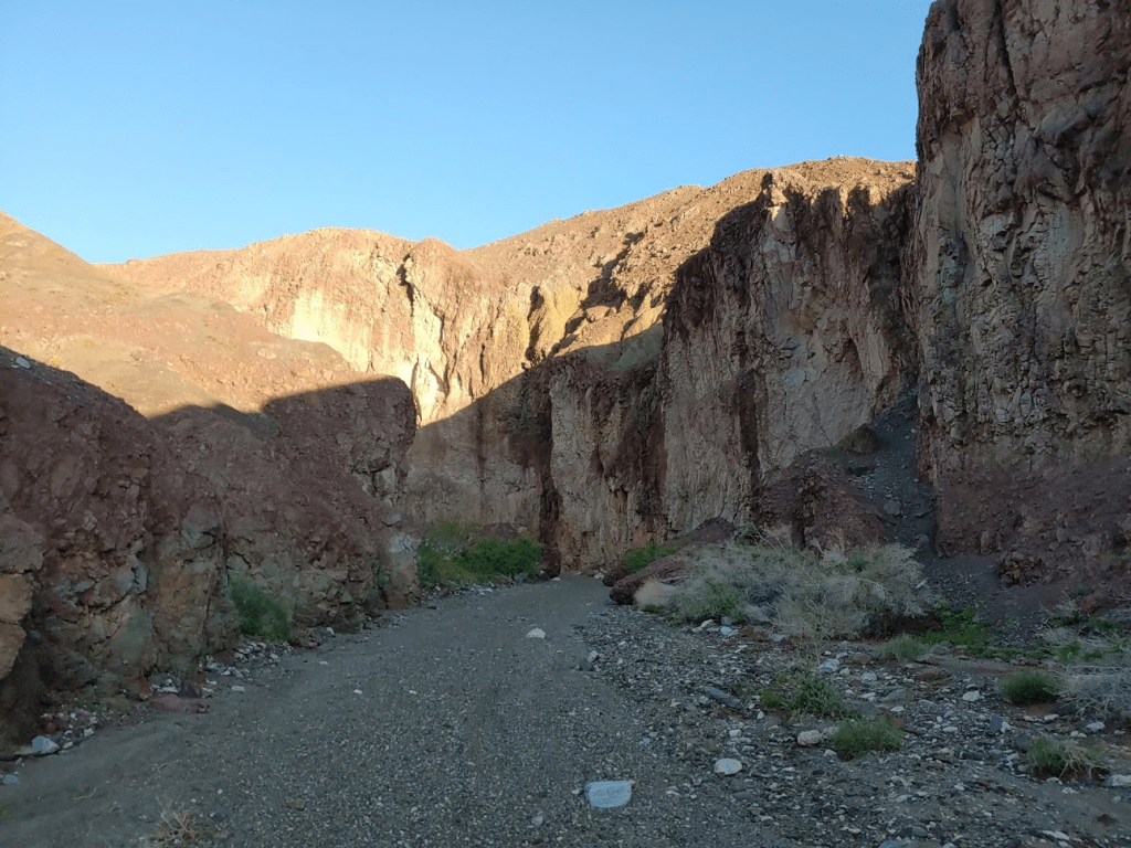
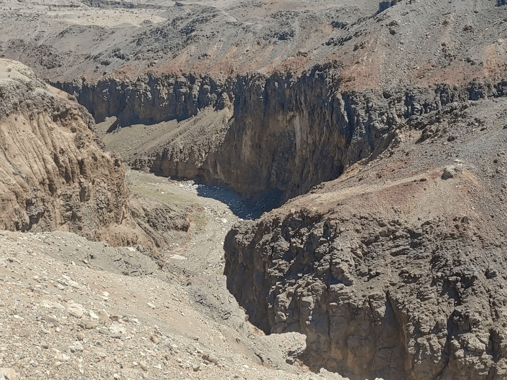
I noted that there was still some water in the gorge from the recent rains.
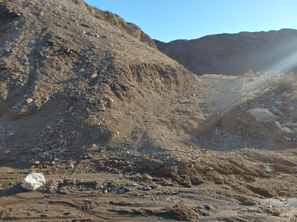
At 1.8 miles I checked my GPS and noticed I was off course. I backtracked a little and realized I was supposed to exit the gorge using a small side road. I made sure to check the GPS frequently after this. This whole area is a maze of roads leading all over the place so it would be easy to go the wrong way.
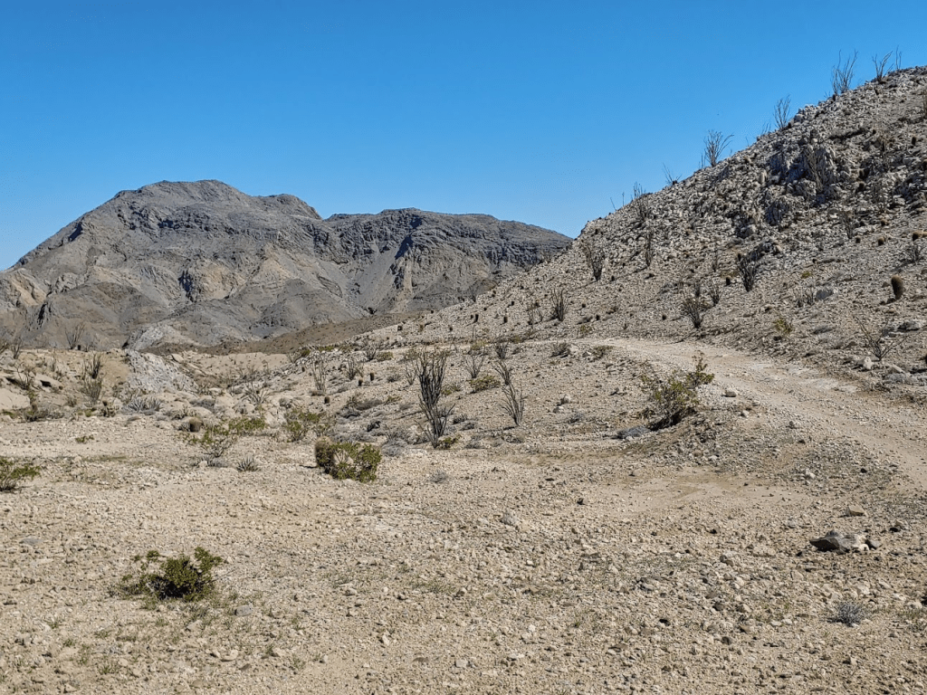
I now started gaining some elevation.

The views started to open up behind me.

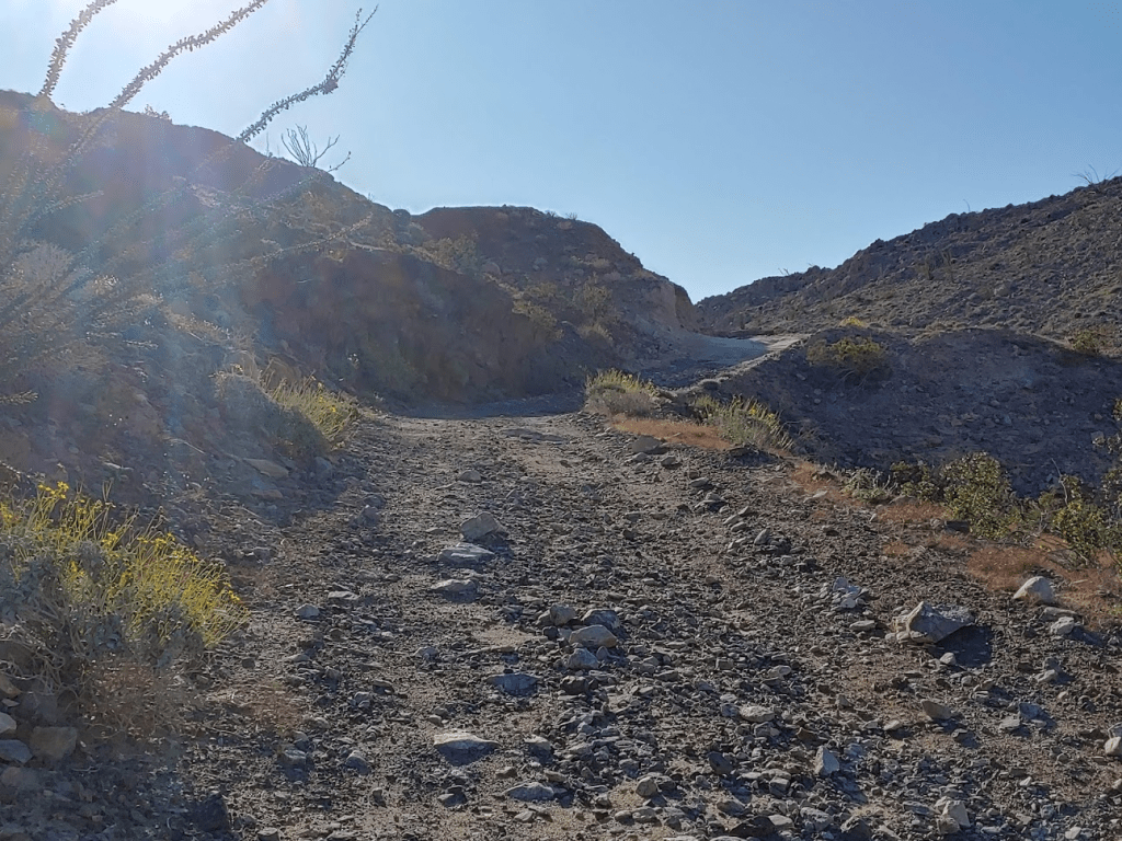
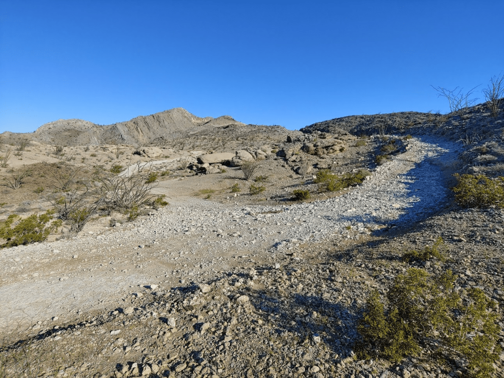
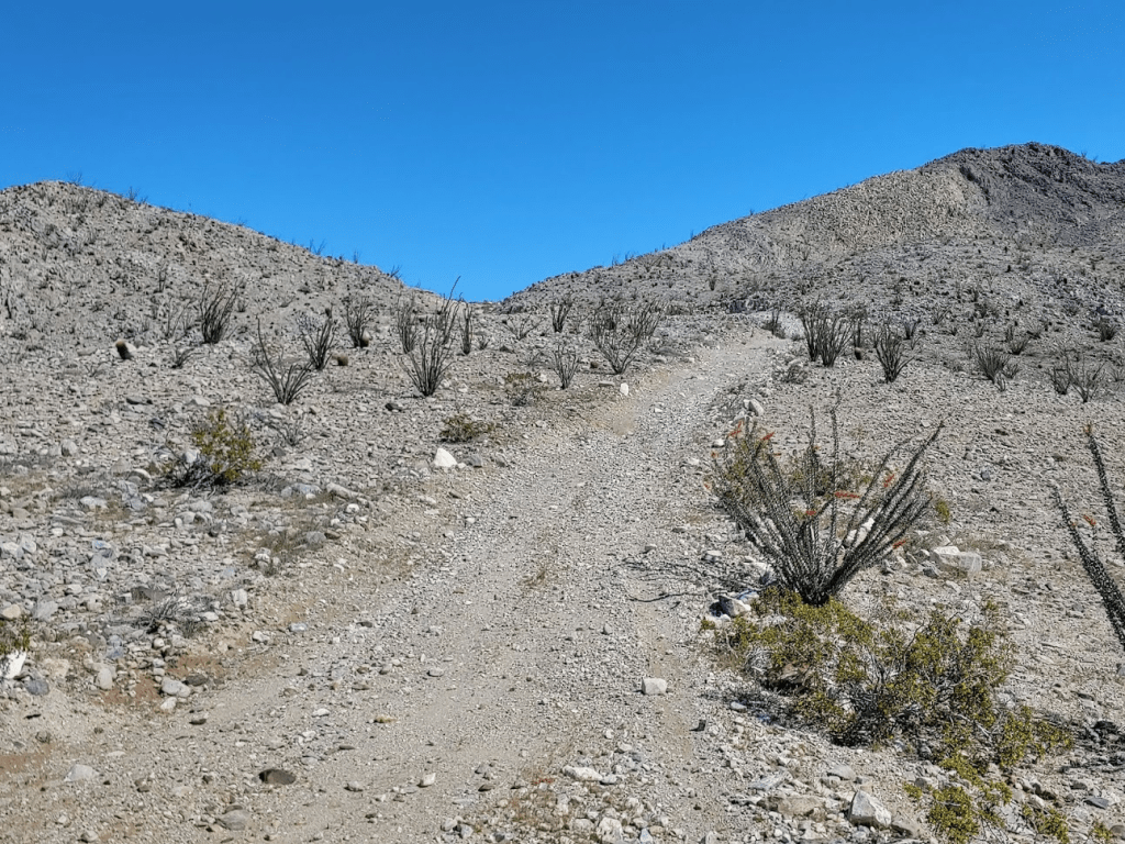
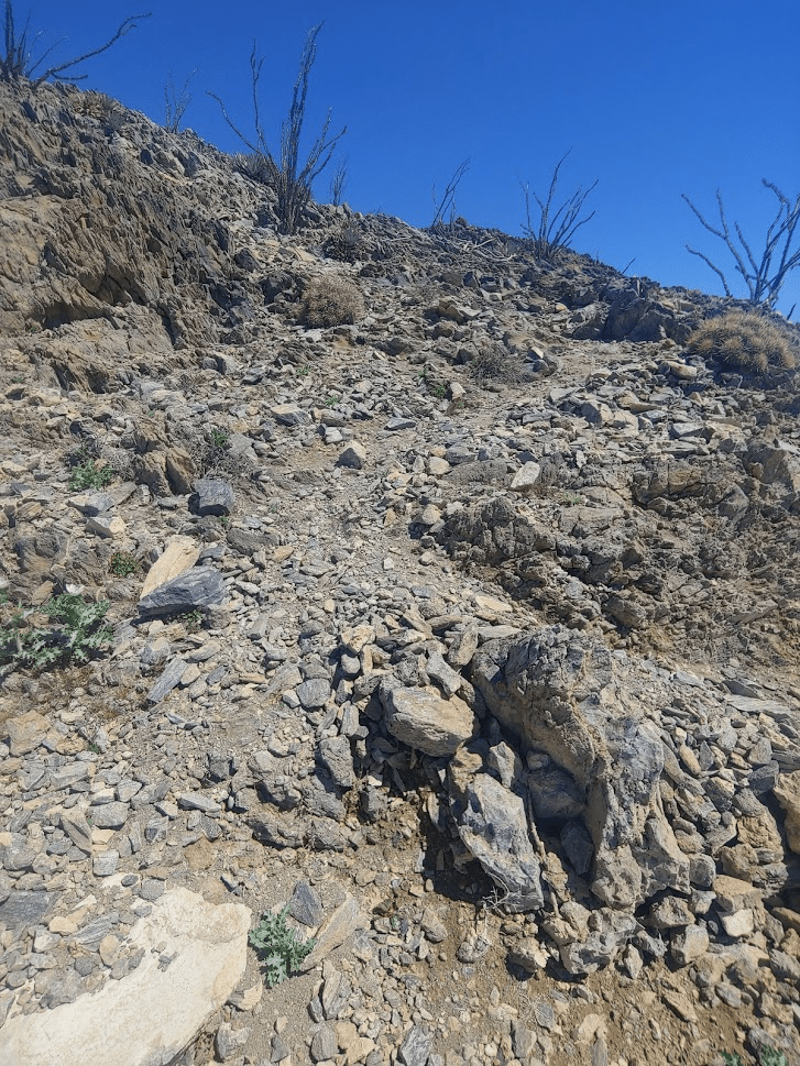
The road gets pretty rocky at points. You would definitely need a very capable 4WD vehicle if driving this route.
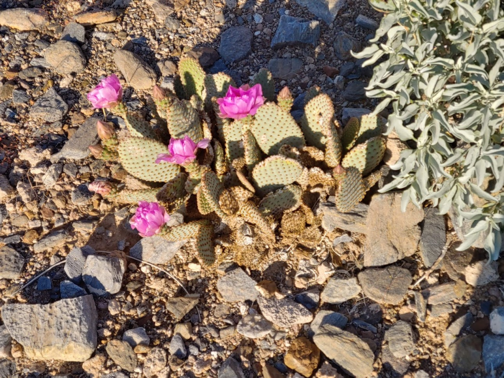
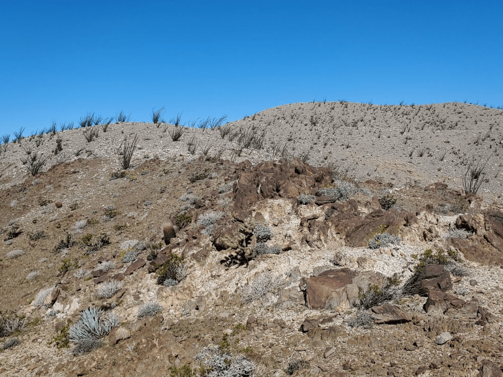
There isn’t a ton of color in these mountains, but I did find a beavertail in full bloom.
At 3.85 miles, I reached a fork. The road to the right led north to Carrizo Mountain, while the road to the left led south to the wilderness high point and Peak 2007. I went left first.
This portion starts off going northwest before curving around to the southwest.
At 4.75 miles, I left the road to climb southeast towards Peak 2007. It was a short 230 ft climb from the road.
I found some more beavertail on the way up!

At 8:37am I reached the summit of Peak 2007. It had taken me 4.87 miles to get this far. A small cairn marked the summit.

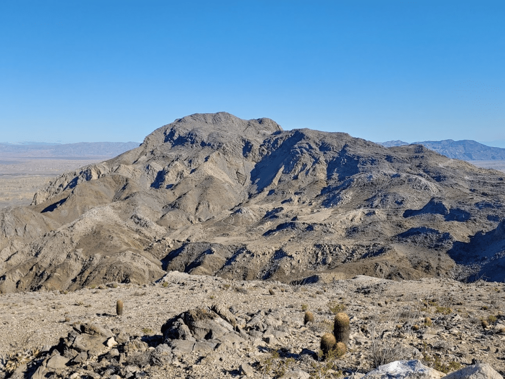
Carrizo Mountain looked impressive to the north.
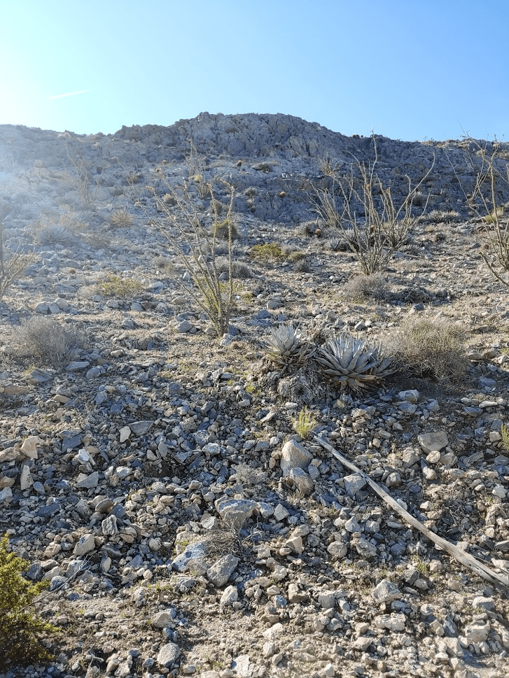
The wilderness high point was a short way to the south.
I took just a short break and continued back down to the road. I took a slightly different route down.

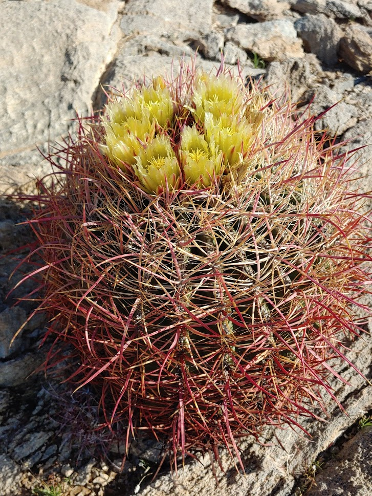
I noticed some barrel cactus in bloom.
I continued south on the road towards the wilderness high point for a little under a mile.

Near the wilderness boundary, the road turns east. I left the road at this point and continued south.

I ascended a small ridge northwest of the peak.

As I got closer to the peak, I followed a faint use trail. It got steep for a little bit just beneath the summit.

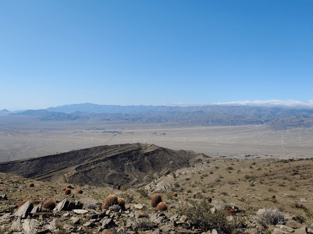
I reached the summit at 9:28am. I had been out for 6.73 miles so far. Despite getting warm while I was hiking, it was pretty windy on the summit, so I bundled up.
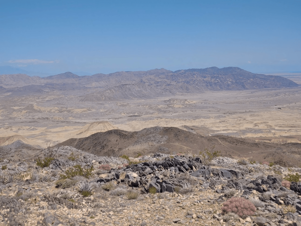
I had an impressive view south towards Ocotillo. The mountains in the distance are in Mexico.
It looked dark and stormy to the west over the higher mountains of San Diego County. I was glad to be down here in the desert!
The desert stretched for miles east towards El Centro and Arizona.

I signed the register which had been placed in 2013. It was just a few pieces of paper and didn’t have many entries. After 20 minutes, I started back down the way I came.

I followed the ridge as it curved north back to the road.
At 7.6 miles I was on the road once more.
I followed the road back the way I came as it curved around Peak 2007.
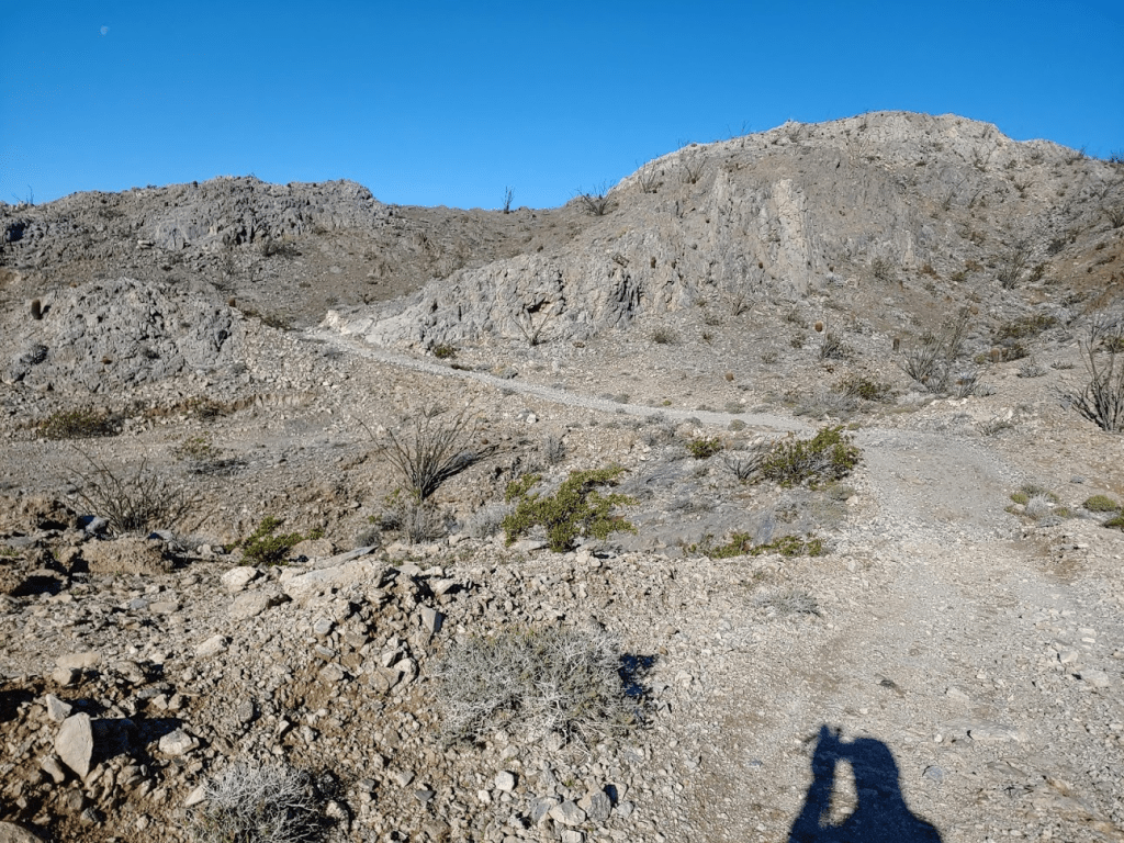
At 9.34 miles I reached the fork from earlier in the hike where I initially went south. This time, I went north towards Carrizo Mountain. This portion of road gets pretty steep.
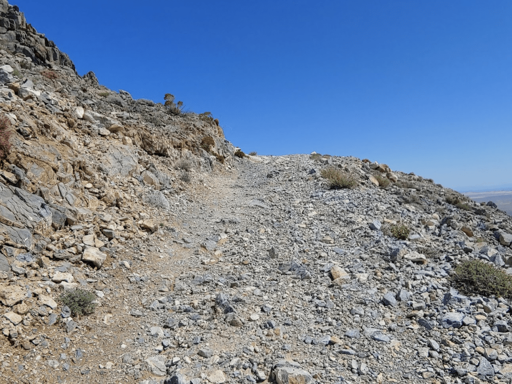
Parts of the road have a steep drop off to the right side. That would be scary to drive!
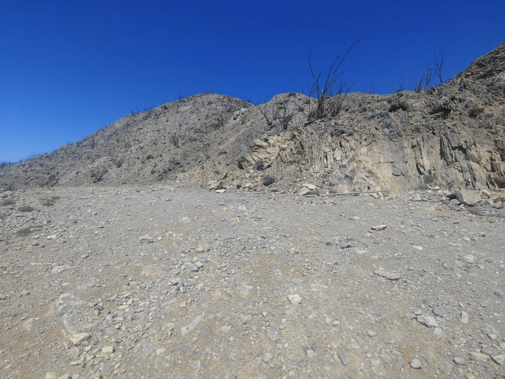
At 10.27 miles I reached a small parking area below the summit. Just a couple hundred feet to go from here.
It’s about 0.2 miles and 250 ft of elevation to the summit from here. A use trail can be followed part of the way up.
As I got near the summit, a very large bird started to take interest in me. It flew a couple of circles around me and actually got pretty close which made me a bit uneasy. I think it was a golden eagle.

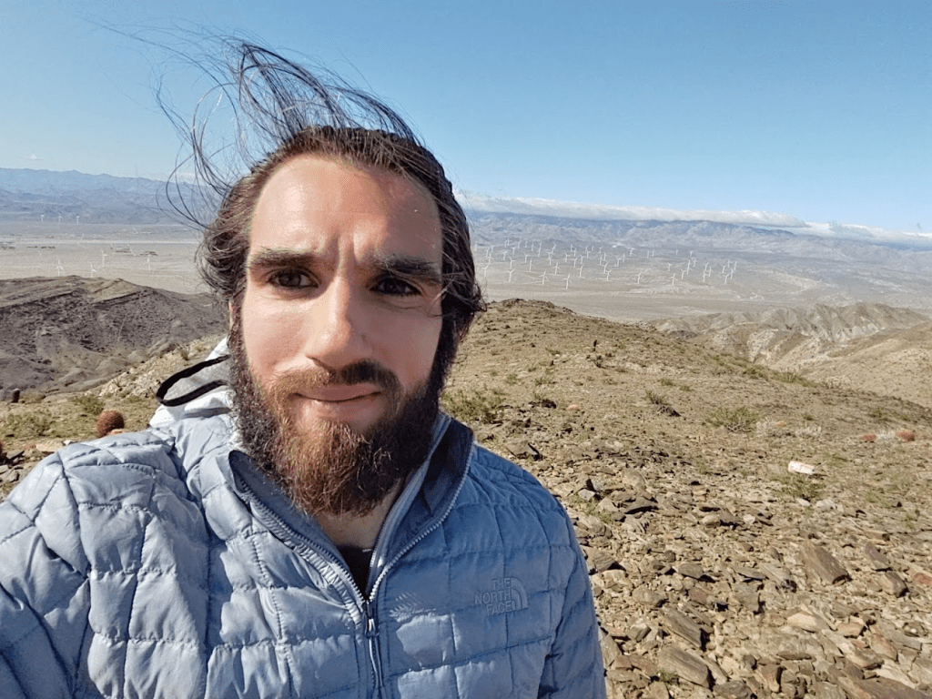
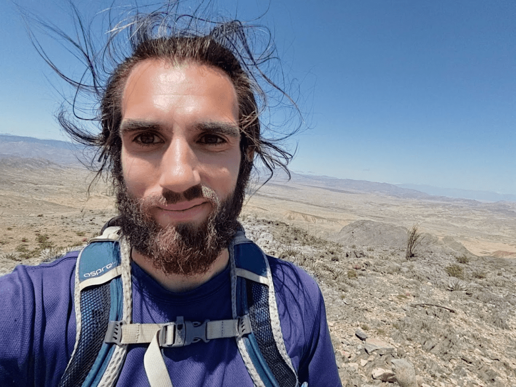
The bird finally lost interest in me after a minute or two. I reached the summit of Carrizo at 11:11am. I was at exactly 10.5 miles.
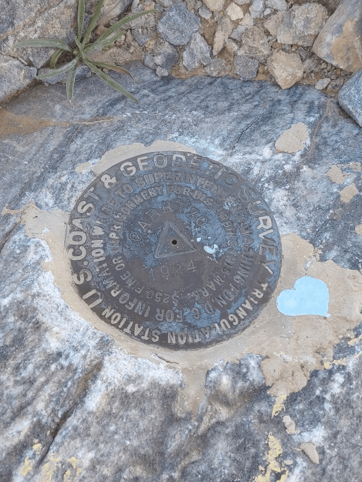
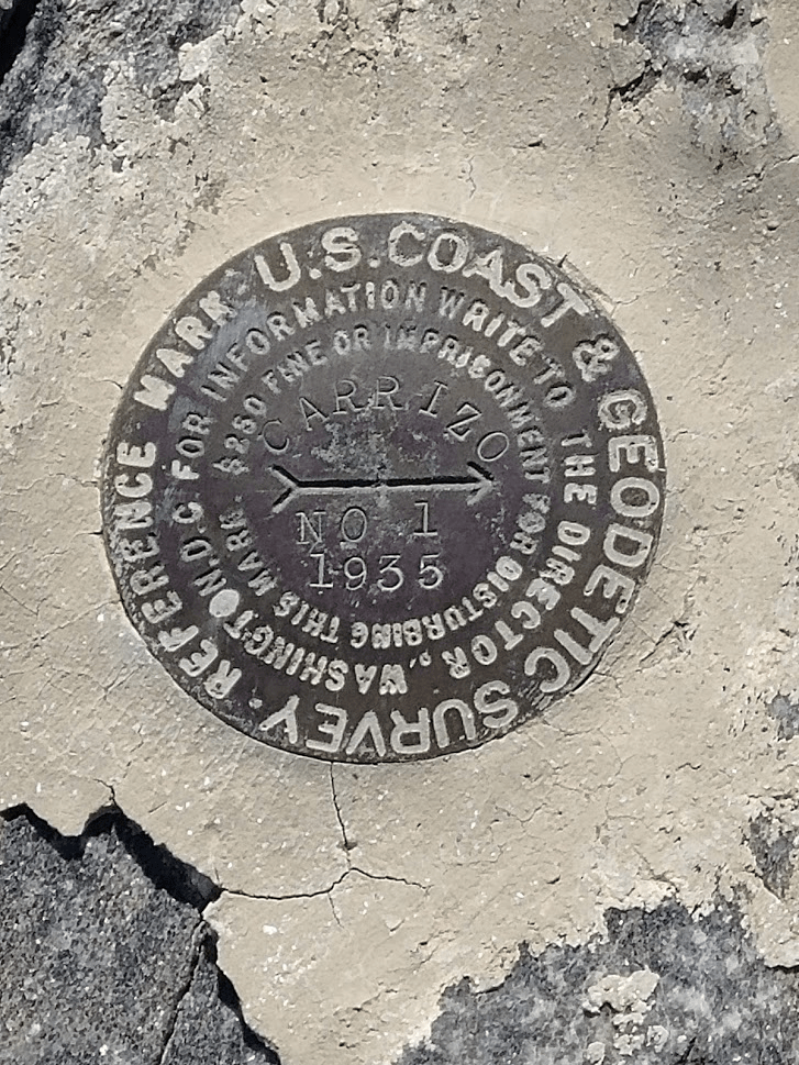
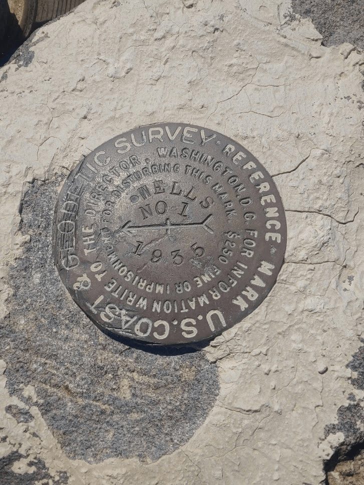
I managed to locate 2 benchmarks, reference marker No. 1, and an unnumbered reference marker. I looked for reference marker No. 3 which is listed on Peakbagger but did not find it.

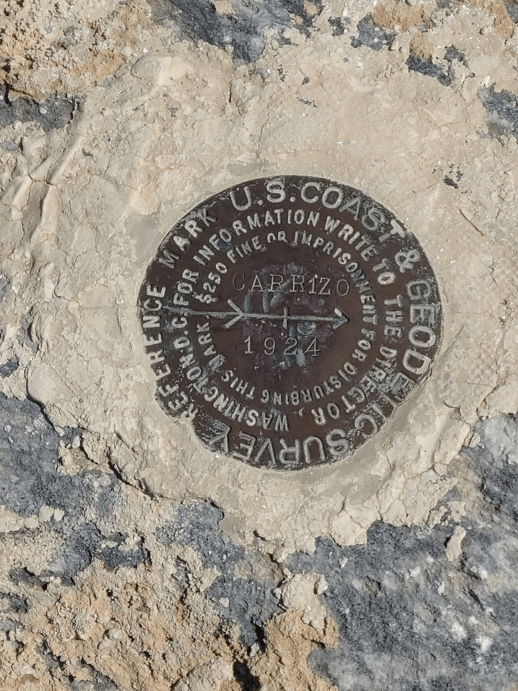
I signed the relatively new register. It had been placed in 2018 and contained just a few entries. The most recent one was from March 27. There was also an older register from 1998 which was completely full.
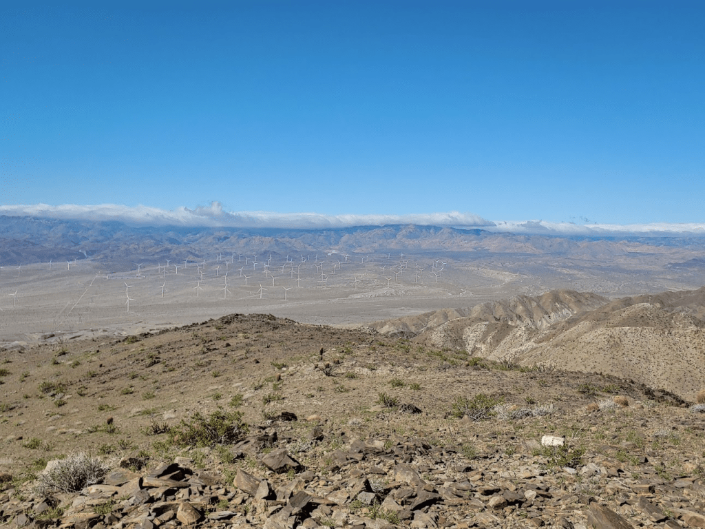
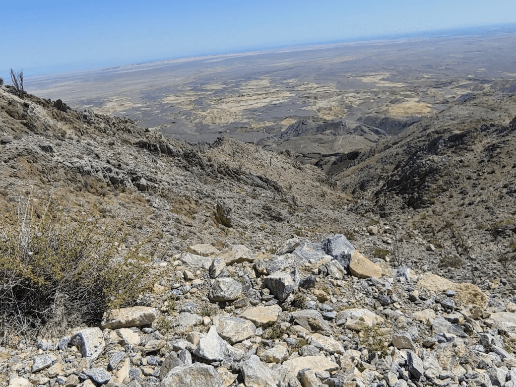
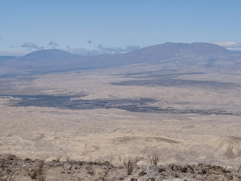
The views on top were amazing. I could see the entire southern portion of Anza Borrego, including the massive forms of Granite Mountain (left) and Whale Peak (right).
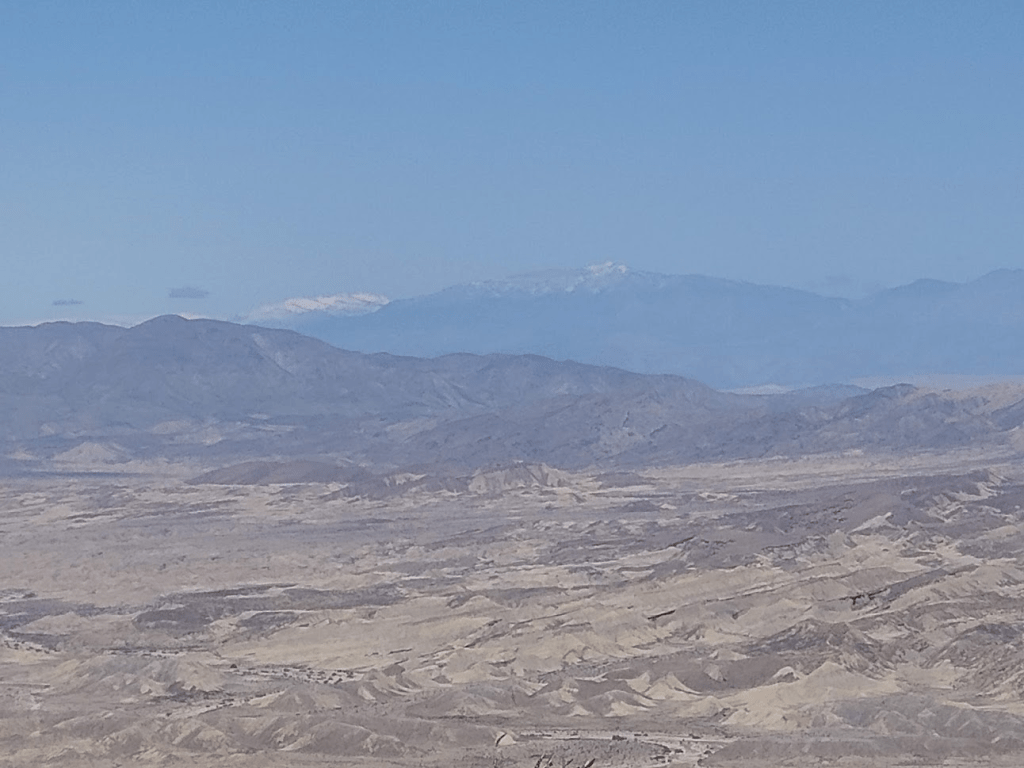
Far to the north, a fresh blanket of snow could be seen on the upper reaches of Toro Peak. San Jacinto was also barely visible behind it and to the left.
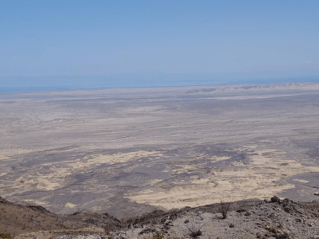
Directly north I had a good view of the Carrizo Badlands and the Fish Creek Mountains beyond.
To the northeast I had a glimpse of the Salton Sea.
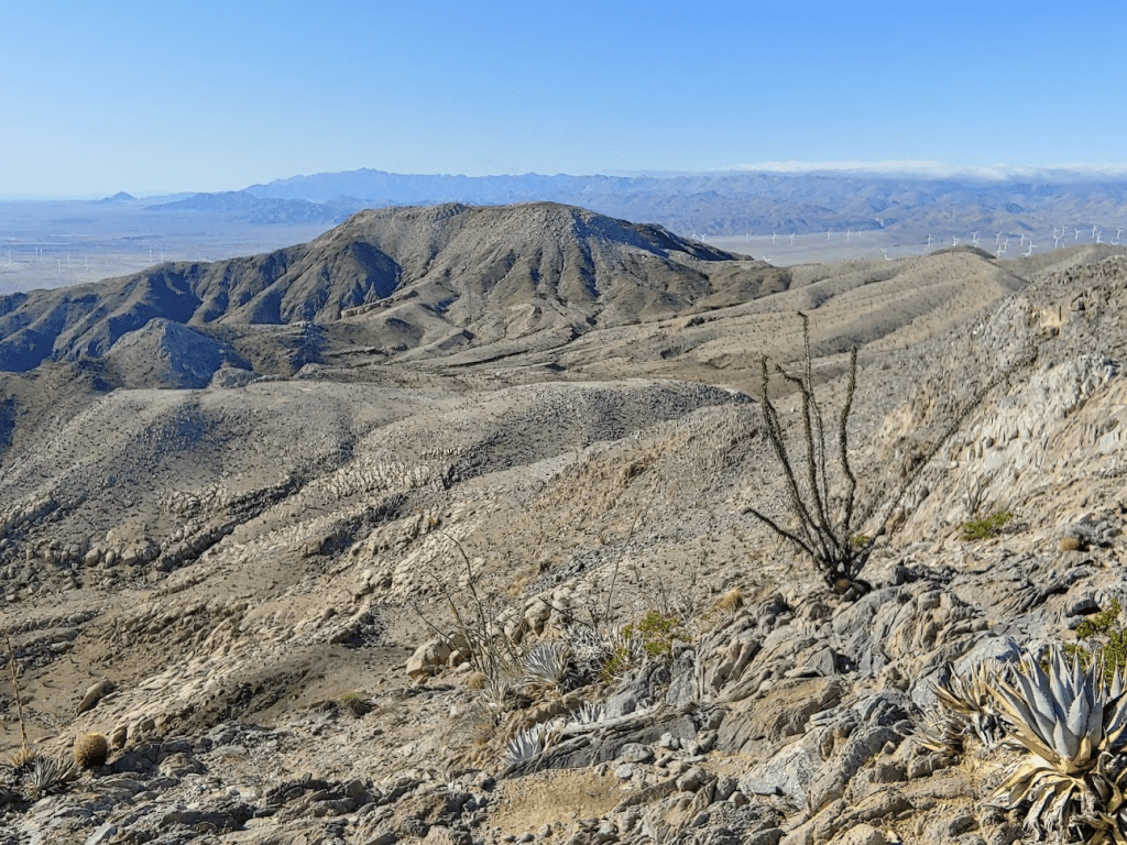
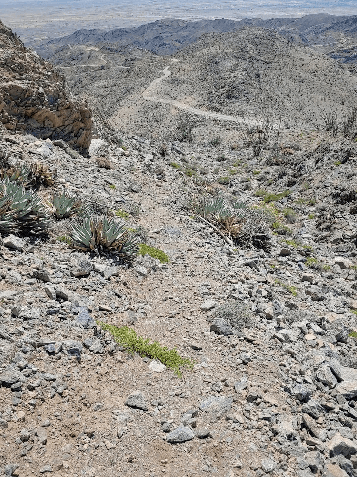
To the south I could see the road winding its way through the mountains, as well as the wilderness high point in the middle of the picture.

I was in no real hurry, so I stayed on top for nearly an hour soaking up the views and the sun. It was so nice to be out enjoying nature after being stuck inside for most of the time due to the pandemic. I started back down the use trail just after noon.
I had nearly 5 miles to go back to the car, but at least it was all downhill. I had been running a lot the last few weeks, so my feet and legs were getting pretty sore. It has been hard to take days off since there is not much else to do besides exercise these days!

I had some good views of Painted Gorge from above before dropping back into it.
There were some yellow and purple flowers blooming on a south-facing hillside.

Once I was back in the gorge, it was an easy walk back to the car. I passed a small group hiking into the gorge near the gate and 2 OHVs parked just outside.
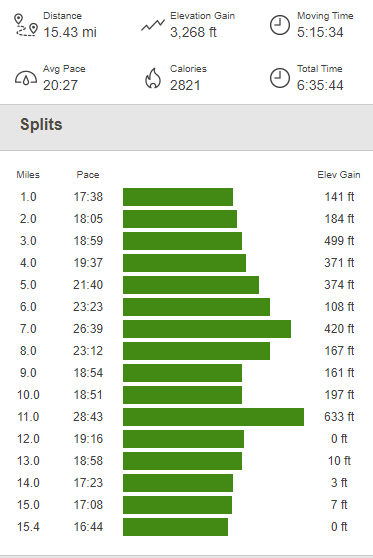
I reached the car once more at 1:32pm. This hike was 15.43 miles, 3268 feet elevation gain, and 6:35:44 total time.
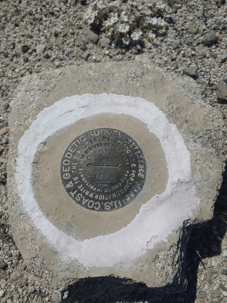
After my hike, I had 2 more small stops to find benchmarks near Ocotillo (just for fun). First up was Wells Benchmark, located just off the north side of the Evan Hewes Highway about a mile east of Ocotillo. I only found reference marker No. 1
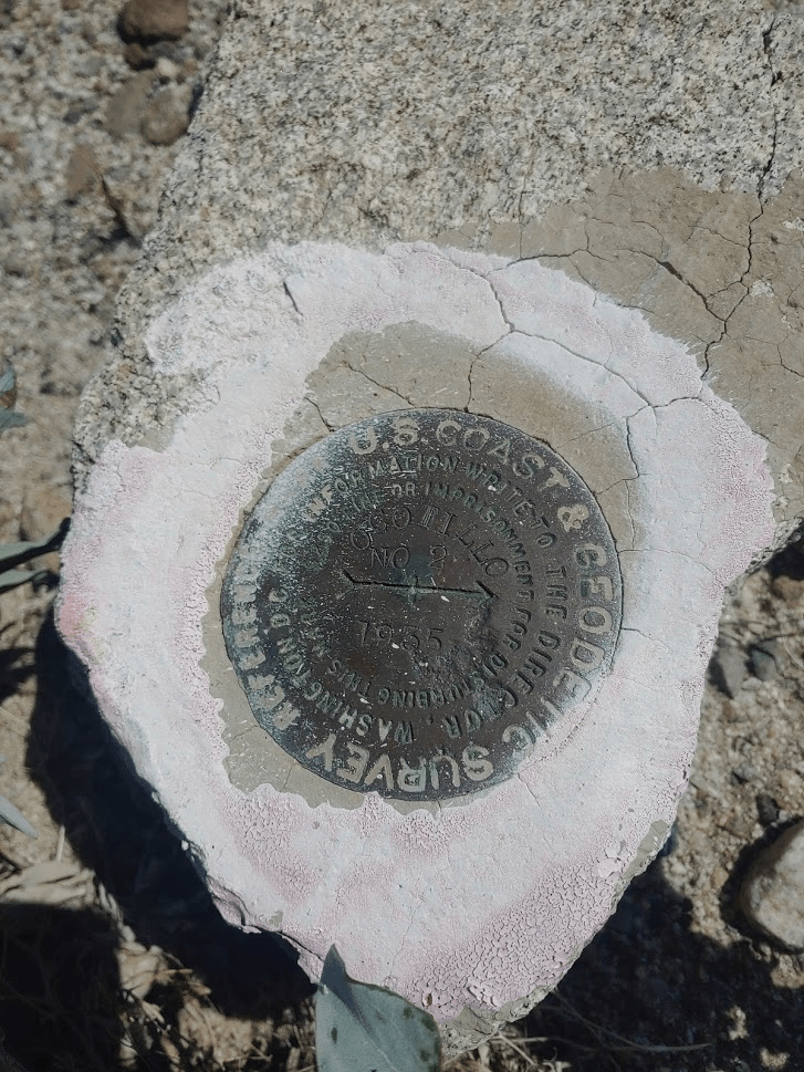
About a mile west of Ocotillo, I located the Ocotillo Benchmark just north of the highway. I was able to find the benchmark and 2 reference markers.

After this I decided to head home. The drive over the mountains back to the coast was more exciting than I would have preferred. It was dark, rainy, and so foggy I could barely see 50 feet in front of me. I managed to make it home safely.
