Carihuauirazo is a modest volcano of 16470 feet very close to Chimborazo, Ecuador’s highest mountain. Despite its proximity to Chimborazo, it has just over 2000 feet of prominence and is a decent climb on its own. Carihuairazo wasn’t on the initial itinerary for our 2 week trip to Ecuador, but our guide plugged it into the end of our first week since Cotopaxi was off limits due to volcanic activity. We made the couple hour drive from Machachi the day before and stayed overnight at a small hostel on the western slope of Chimborazo. On the way there we had to stop for many “roadblocks” which consisted of children blocking the road with tree branches and other things. They asked for money before letting us pass which is apparently some kind of tradition leading up to New Years. We were stopped by at least 30 of these on the way, but our drivers made it through most of them without paying anything. It was rainy and cold when we reached the hostel. We were fed a delicious hot meal which warmed us up before going to bed early.
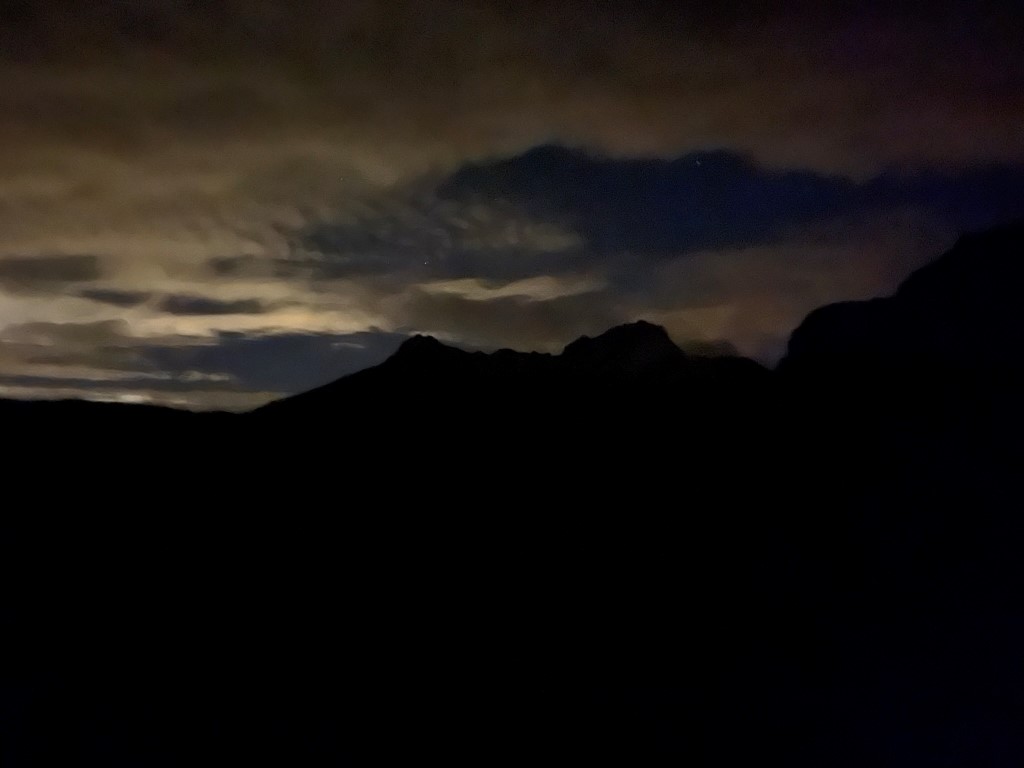
We woke early the next morning and drove about an hour to the trailhead which was along a dirt road west of Carihuairazo and north of Chimborazo. We began hiking at 2:40am from 14378 feet above sea level.

We hiked east on a single track trail through the mud. Thankfully it had cleared overnight and had turned into a crisp, clear morning. It was a bit chilly but there was not much wind. It was tedious hiking on dry terrain with our heavy mountaineering boots on, but we made decent time. We could see the shadows of large mountains all around us.
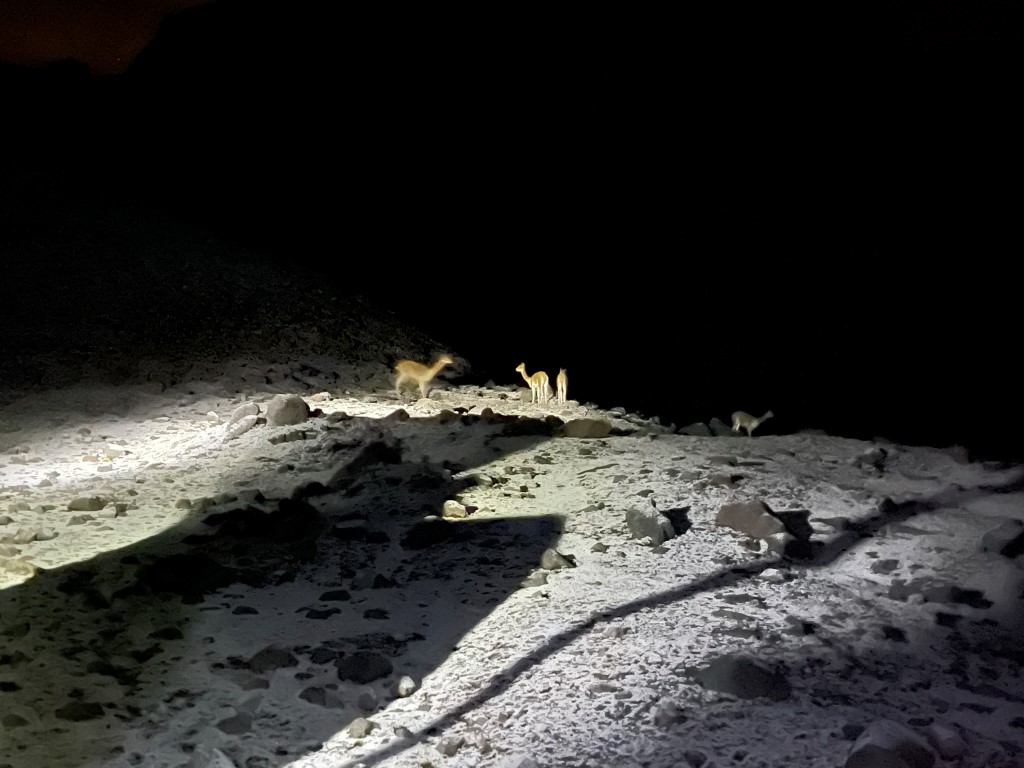
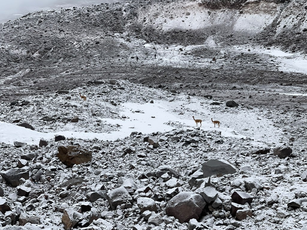
We spotted many vicuñas grazing in the dark.
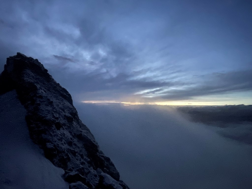
We reached the foot of the glacier at 3 miles / 15671 feet. We stopped here to rope up and put on our crampons. I was on a rope team alone with our main guide, Juan Carlos. Marcus and Garret were on a rope team with another guide, and Dan and Thomas with a 3rd guide. Juan Carlos and I led the way up the glacier. Juan Carlos went pretty fast, but I managed to keep up. The grade started out fairly mellow but became steeper as we ascended. There was one section that was steep enough that I had to front point. We neared the top as dawn began to lighten up the eastern sky.
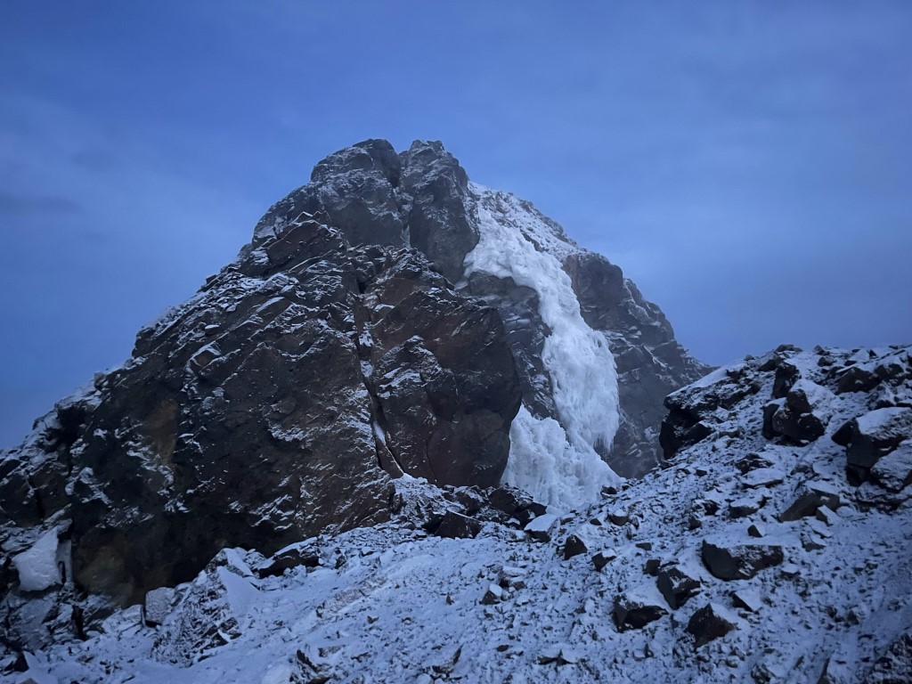
We had to scramble up dry rock with our crampons on just below the top. We reached the summit at 5:45am at 3.4 miles!

Unfortunately, the actual summit was beyond our skill to reach. The summit block apparently used to be much easier, but with the ice and snow retreating due to climate change it has now become a technical rock climb.
Marcus, Garret, and their guide soon joined us on the summit.
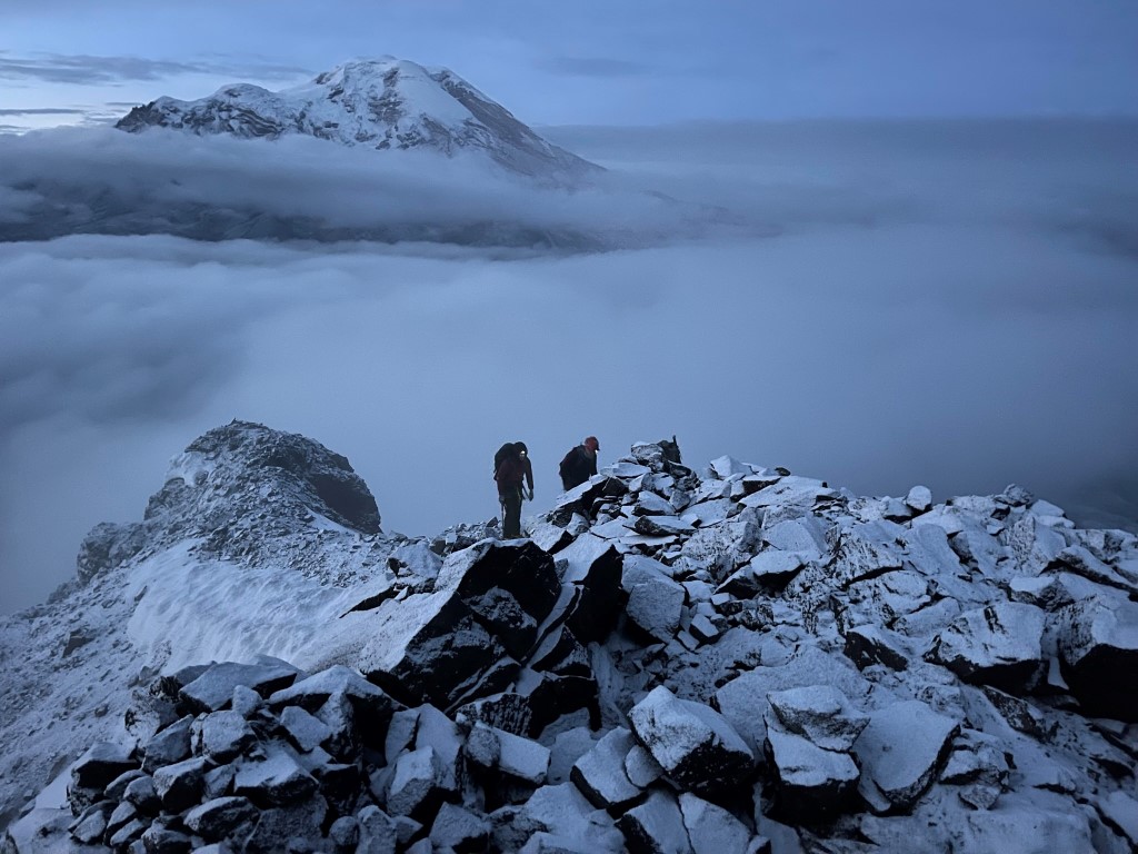
We spent some time enjoying the beautiful views before descending. 20561 foot Chimborazo to the southwest:

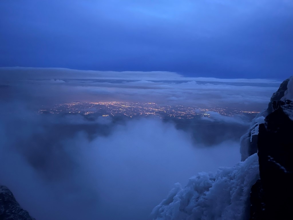
We could see city lights off to the east.
Dan and Thomas eventually joined us on the summit, and then we all began the descent. Juan Carlos and I once again led the way, and we soon reached the bottom of the glacier. We looked back at the route we had ascended in the dark.
We spotted more vicuñas as we waited for the others to catch up.
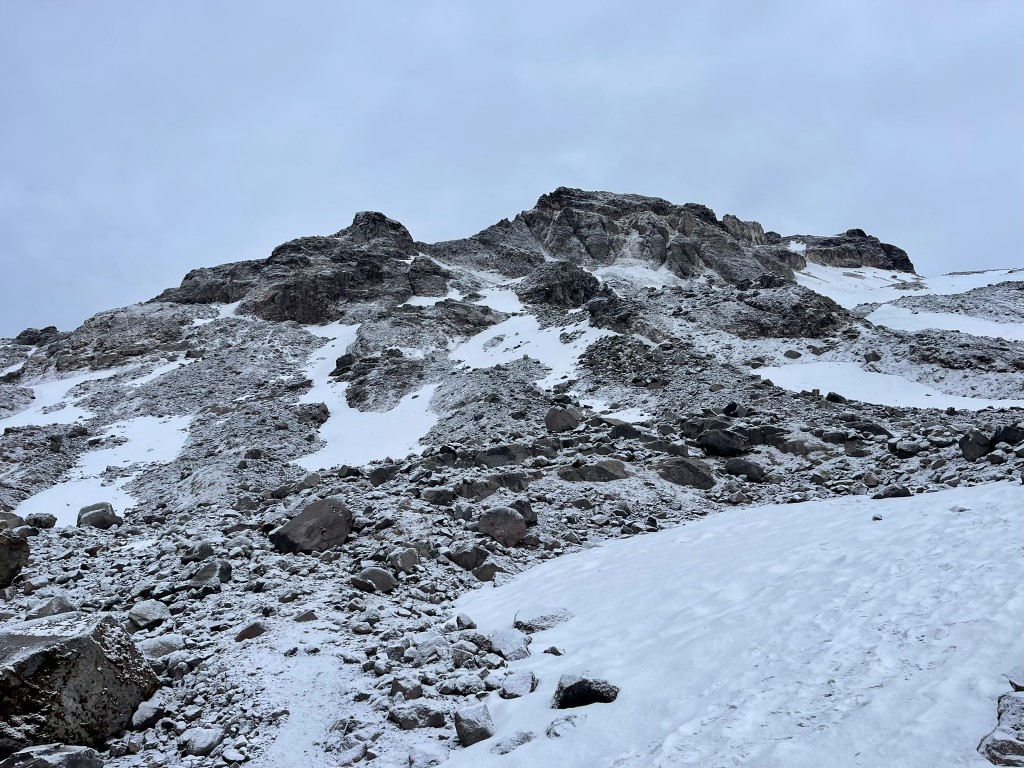
We removed our crampons and continued the descent on the dirt path. We had a stunning view of Chimborazo in the daylight.

This was the only proper view of Chimborazo we got the whole trip due to the weather.

We saw even more vicuñas as we neared the trucks.

We reached the trailhead at 8:10am. Stats for this hike were 6.6 miles, 2083 feet elevation gain, and 5:34:25 total time.


