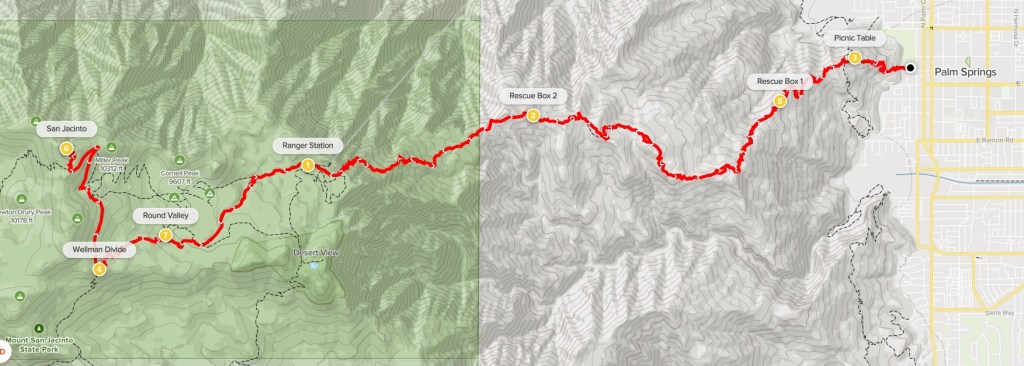
Cactus to Clouds is a very famous hike that climbs the full height of San Jacinto Peak. The route begins from the desert floor in Palm Springs around 470 feet and ascends to the lofty summit of San Jacinto at 10,834 feet. The hike can be divided into two main parts. The first part is called the Skyline Trail, which starts at the Palm Springs Art Museum and ends at the Long Valley Tram Station at 8400 feet. This trail gains about 8000 feet in 10 miles. The second part of the hike goes from the tram station to the summit through Mount San Jacinto State Park. This trail, which gains 2600 feet in 5 miles, is extremely popular as many hikers complete it as an out-and-back from the tram station. A majority of hikers that do Cactus to Clouds climb to the top of San Jacinto and then return to the tram station and ride the tram back down to Palm Springs. This is about 20 miles with 10,400 feet of elevation gain and 2600 feet of elevation loss. I intended to do the whole route – skipping the tram and hiking all the way back down to Palm Springs. This is called Cactus to Clouds to Cactus. I slept in my car the night before just off Highway 243 on Indian Mountain Road. I would have preferred to sleep closer to the trailhead, but it was too warm on the desert floor to sleep comfortably in my car. I woke up at 3am and drove about 50 minutes to the Palm Springs Art Museum. Hikers are not supposed to park in the museum parking lot, so I parked on the side of the road. There were some other hikers getting ready when I arrived, and one of them even walked over and asked if I was part of their Meetup group. They were only planning to hike up to Long Valley and then ride the tram down from there (this apparently is a popular option as well). I started hiking at 4:17am from 467 feet above sea level.
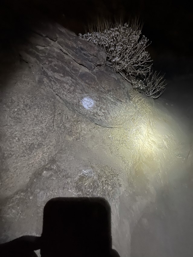
I began hiking west up the trail by the light of my headlamp. The trail was a little difficult to follow in the dark, but thankfully I had GPS tracks downloaded to help guide the way. There were also helpful white marks on the rocks.
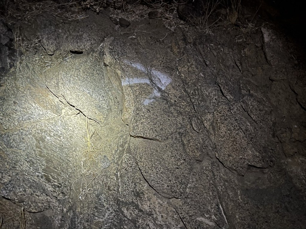
There were also white arrows which helped where the trail made switchbacks.
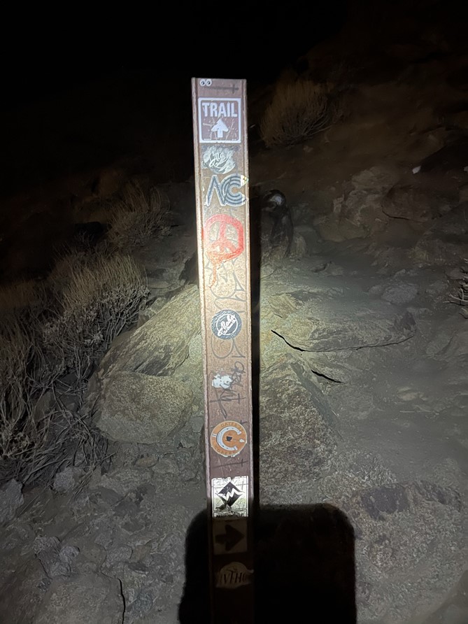
There were these trail markers too.
I started out with a light jacket on but took it off almost immediately. I was a little surprised how warm it was so early in the morning (probably around 70). At 1 mile I reached a set of picnic tables. I had already gained nearly 1000 feet up to this point.

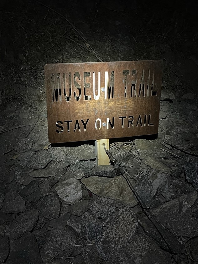
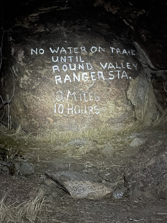
I continued past the picnic tables. The trail was very steep, but I was feeling good. There were a few signs painted onto rocks just off the trail.
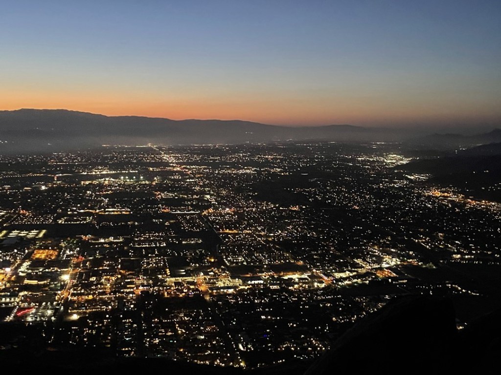
I turned around every few minutes to admire the lights of Palm Springs behind me.

The city lights were very pretty.
More danger signs:

At 5:20am it was already light enough to turn off my headlamp.
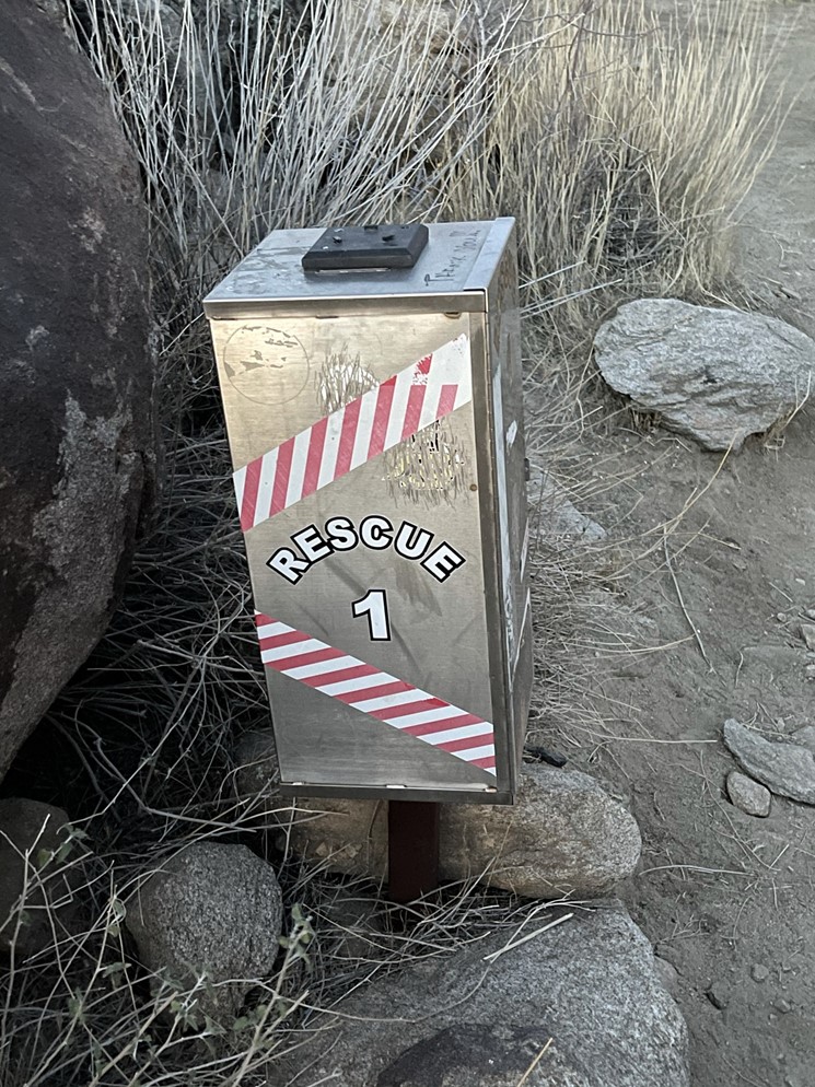
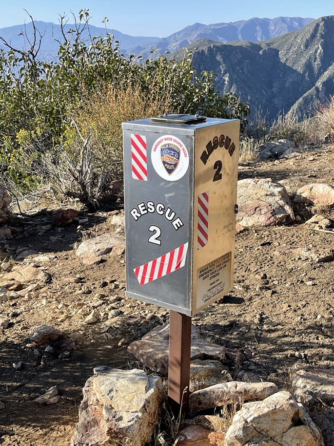
At 2.4 miles I reached the first of two rescue boxes on the trail. Hikers can leave extra water and snacks in these boxes for others to use in case of emergency.
I started to pass a few hikers as I made my way up. At 6am the sun began to rise above the Little San Bernardino Mountains to the east.
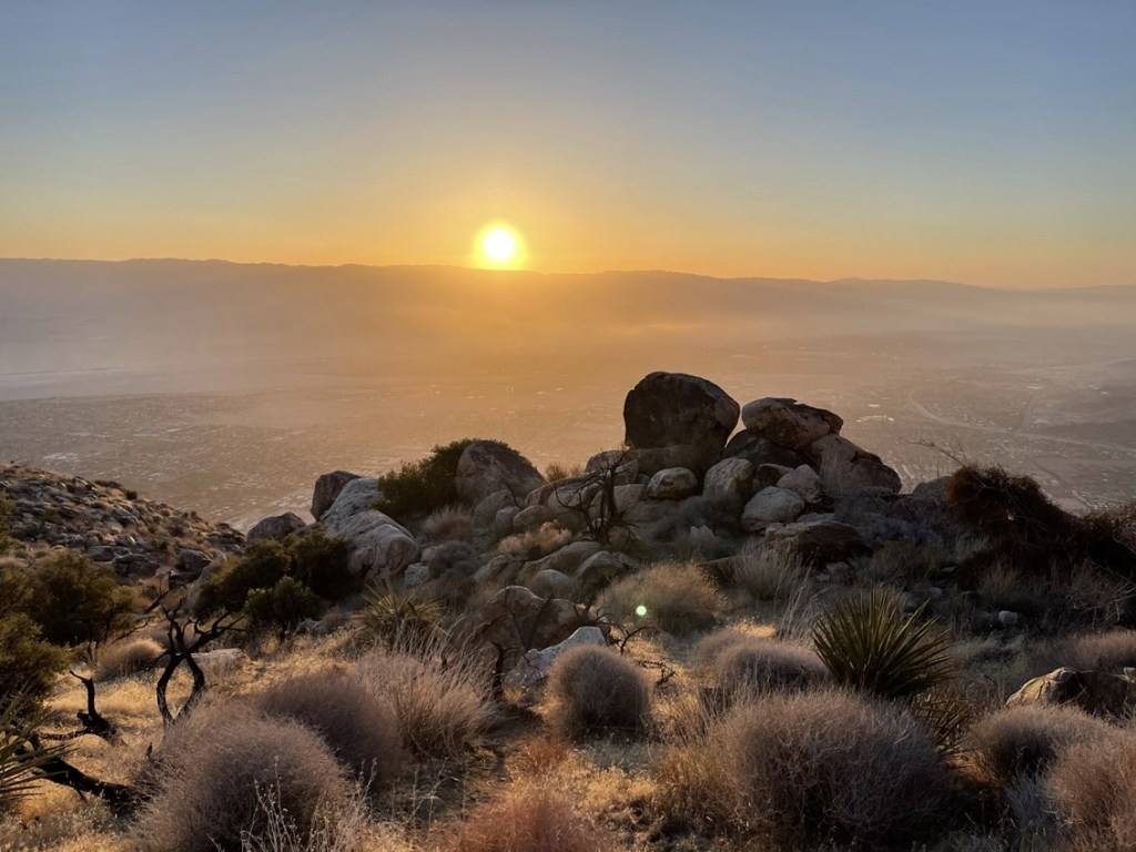
The warm light of the sunrise really illuminated the trail.
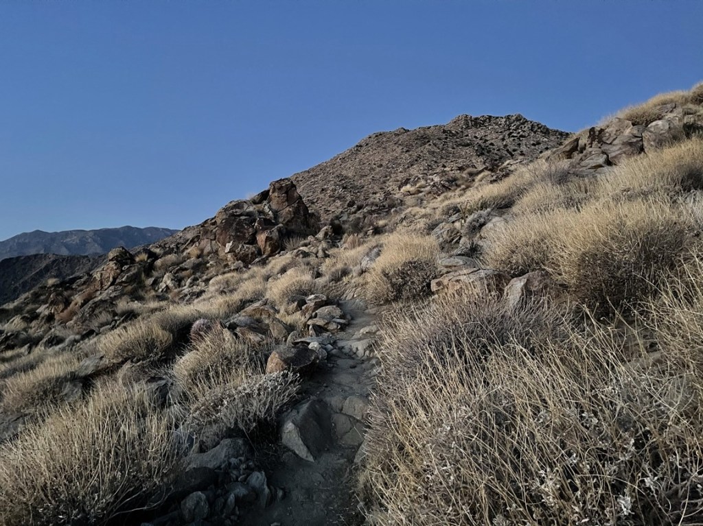
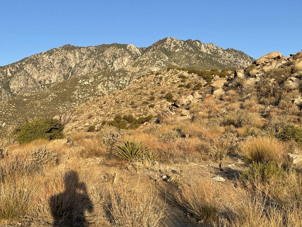
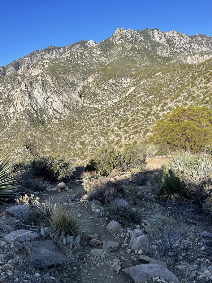
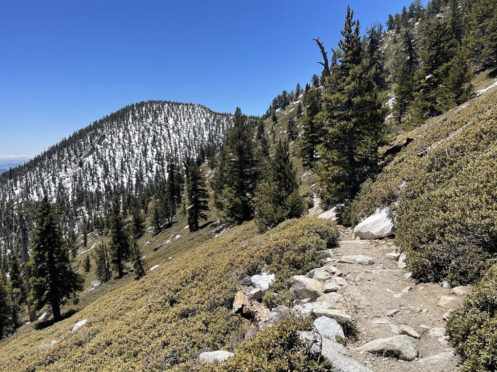
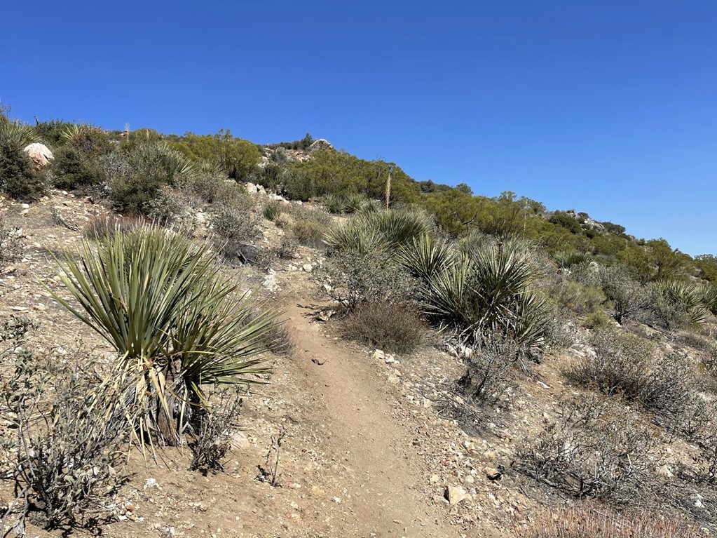
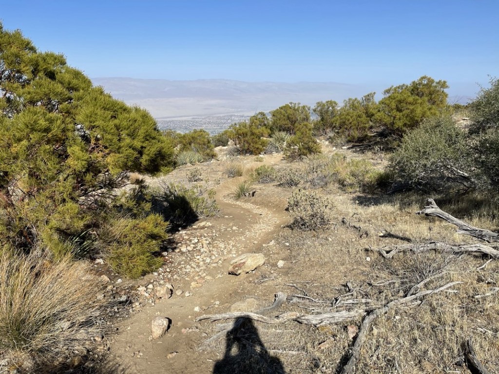
There was a noticeable vegetation shift around 3000 feet. The cacti that are common in the low desert were replaced by yucca and various shrubs more common in the higher Mojave Desert. At 4 miles I got my first view of Long Valley which was still about 5000 feet above me. San Jacinto itself would stay hidden until I got past the tram station.
The trail was much easier to follow in the daylight, but there were many shortcuts and braids which made it a little tricky. I made sure to check my GPS every so often to make sure I was still on track.

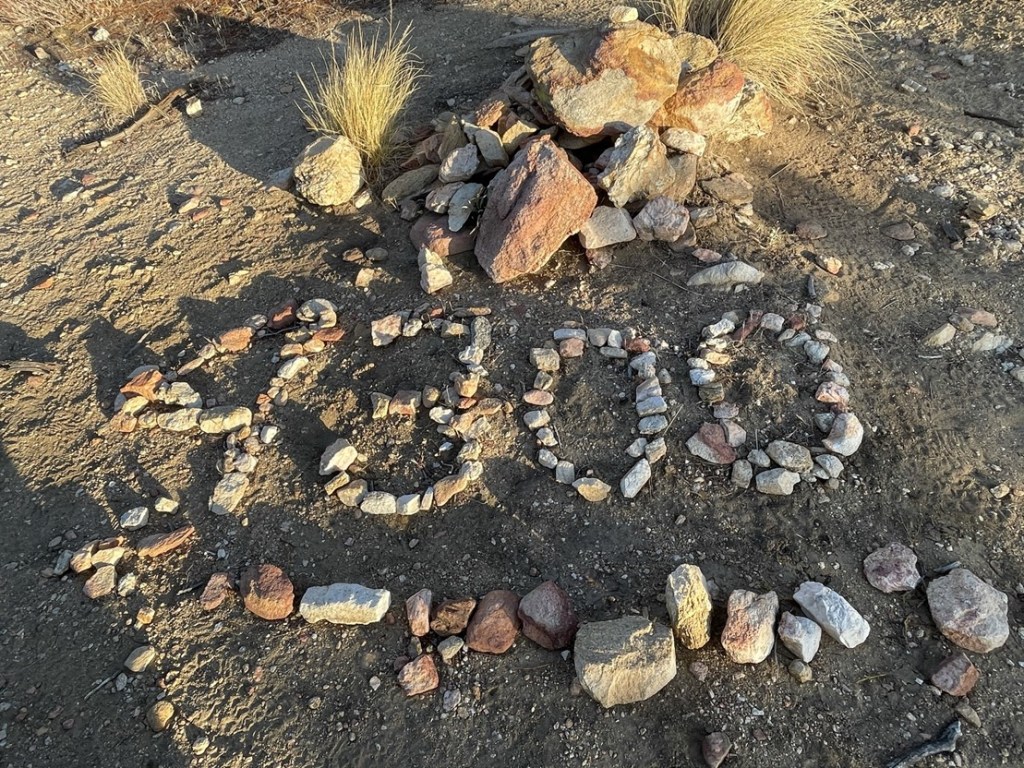
Someone had written “4300” right around the 4300 foot level.
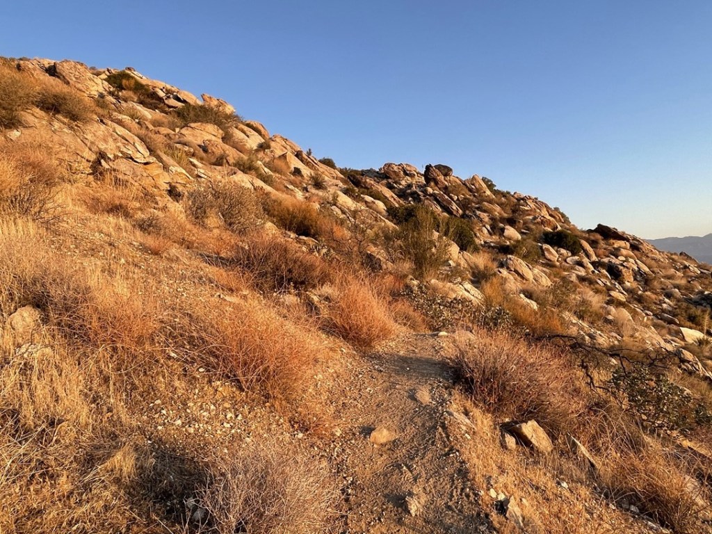
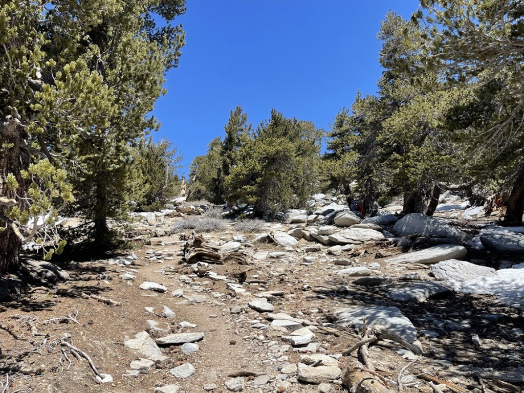
The next couple miles weren’t quite as steep as the first 4. There were a few minor descents as well.
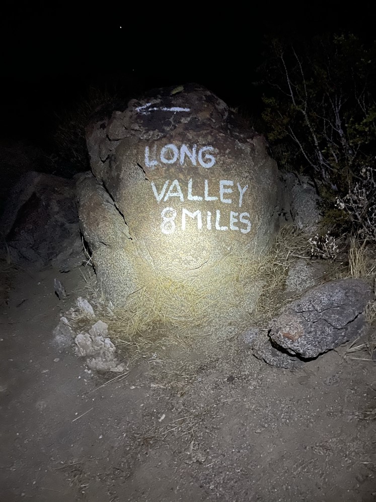
At 6.3 miles I reached a sign claiming that Palm Springs was only 5 miles behind me.

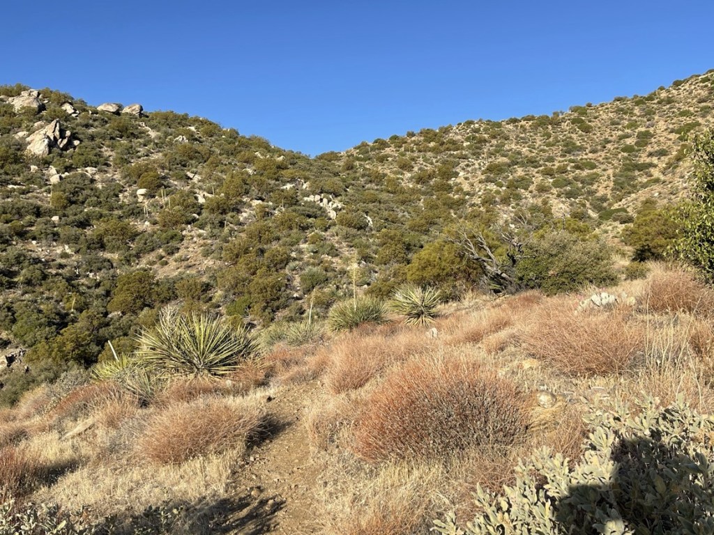
The brush got thicker and taller as I climbed above the 5000 foot level.
Long Valley was still very far away.
At 6.6 miles I reached the 2nd rescue box.
I could spot the tram station still 3000 feet above.
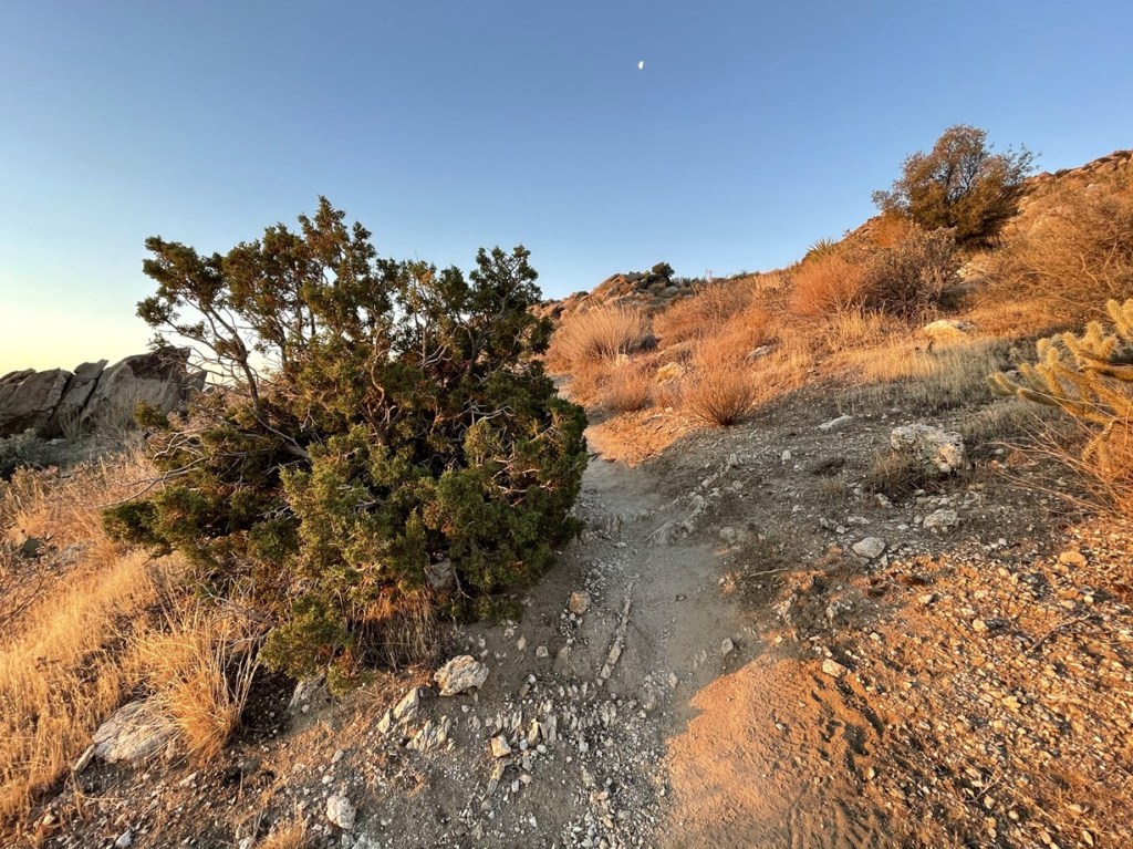
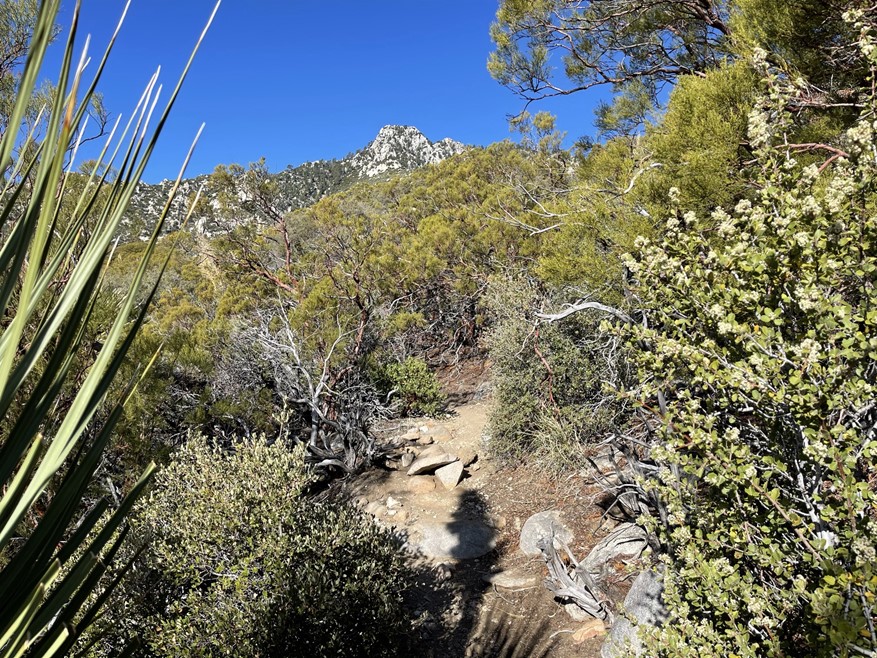
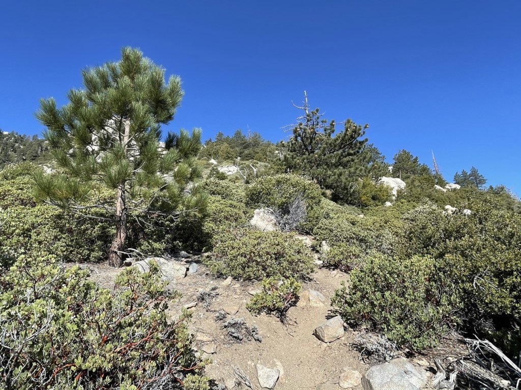
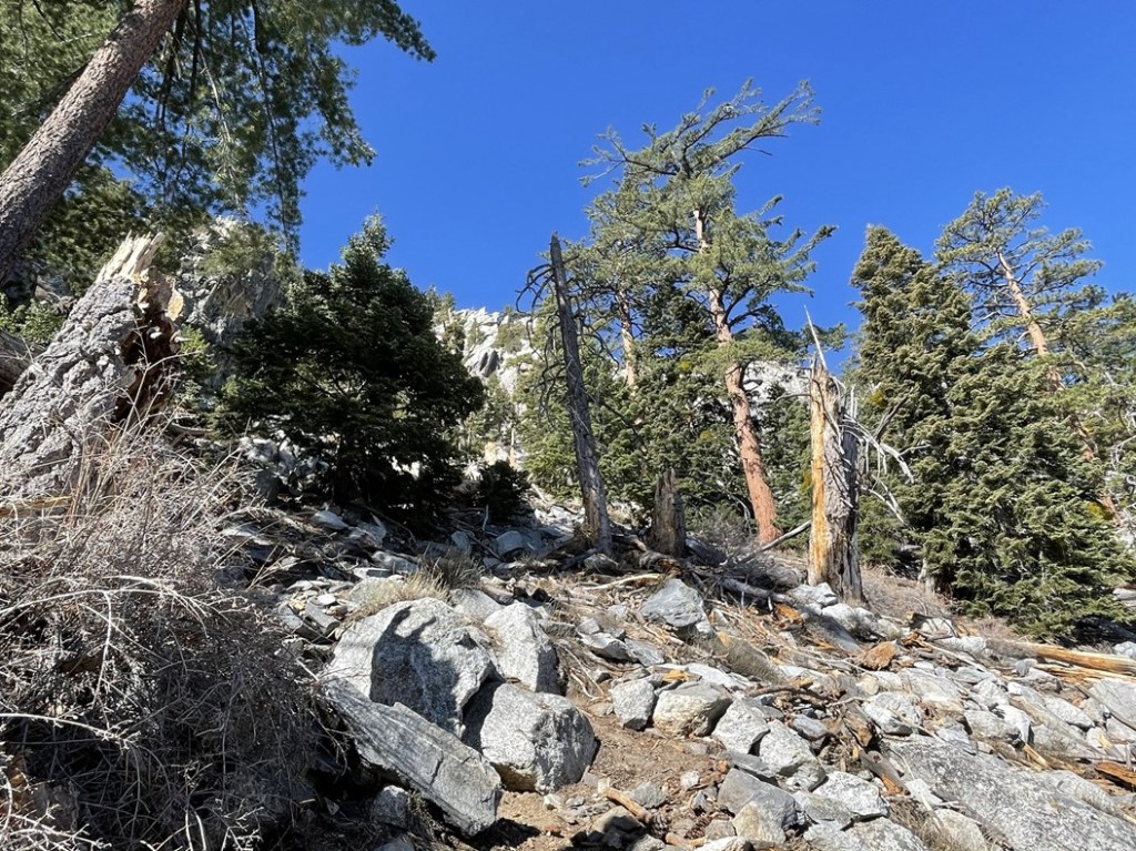
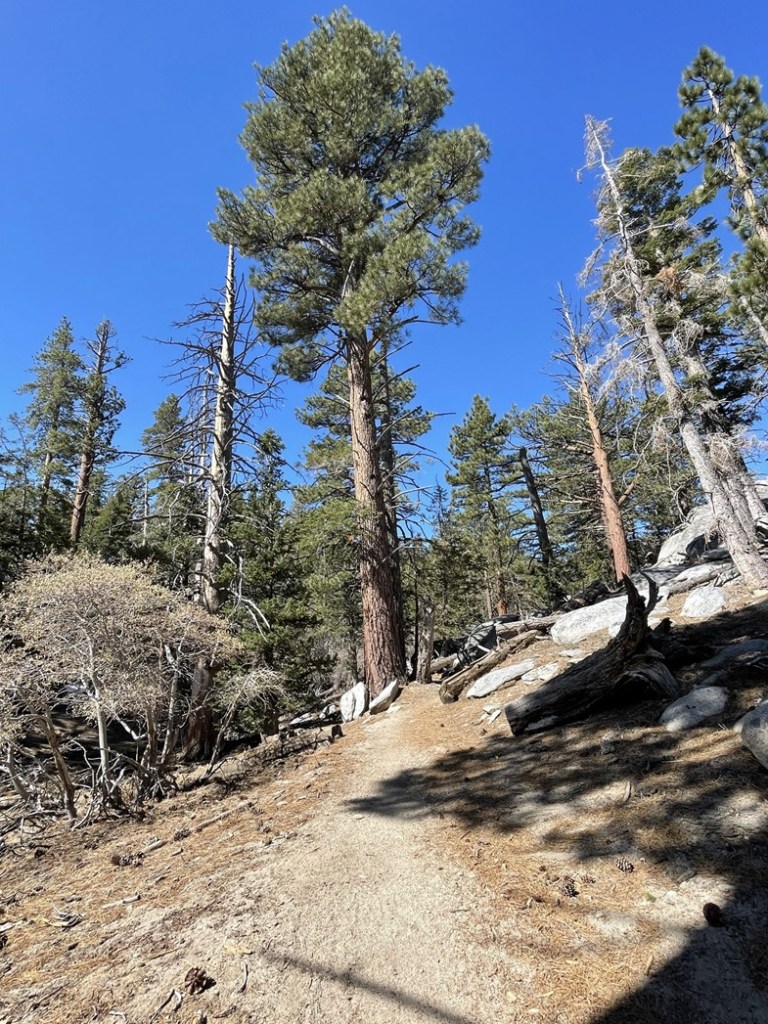
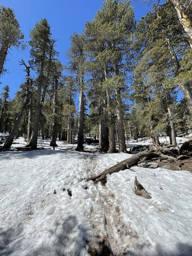
Small pine trees started to appear around the 6000 foot level.
At the 8 mile mark the trail got much steeper again. I was only about 2 miles/2000 feet away from Long Valley. I was encouraged by how good I was feeling. The weather was perfect too – perhaps a little warmer than I would prefer but the higher elevation kept things cool enough.

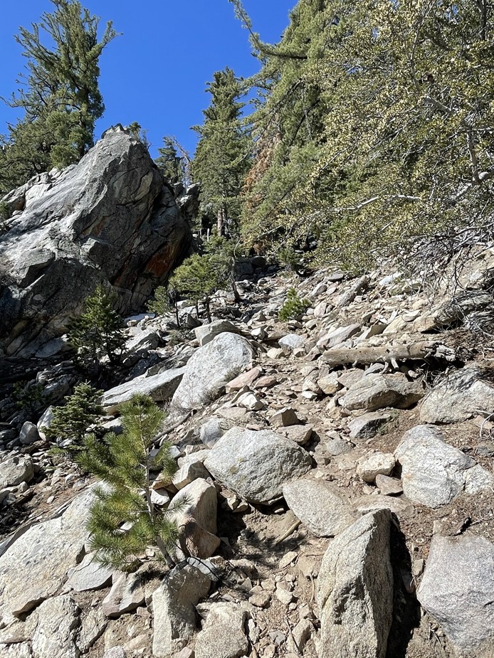
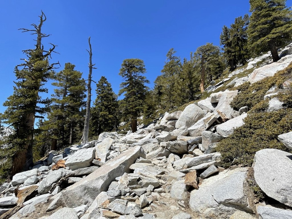
The 2 miles to Long Valley were the most difficult part of the hike. The trail was very steep and even required some mild scrambling at times.
There was a short section called the “Traverse” where the trail turned north away from the ridge I had been climbing. I then turned left and climbed up the final switchbacks to Long Valley.
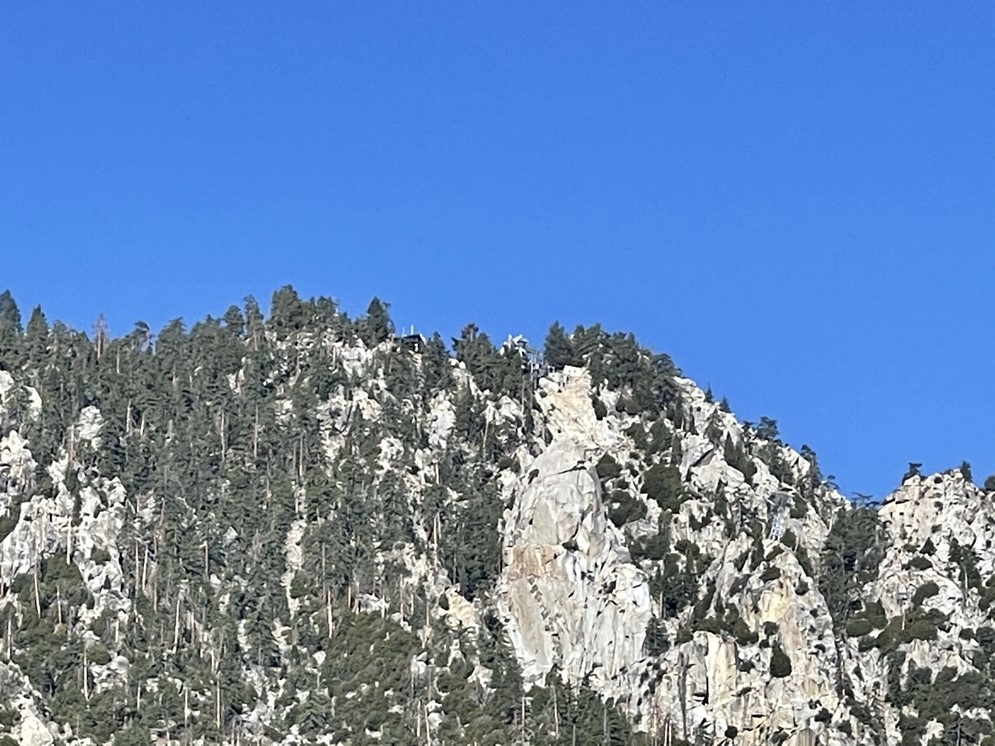
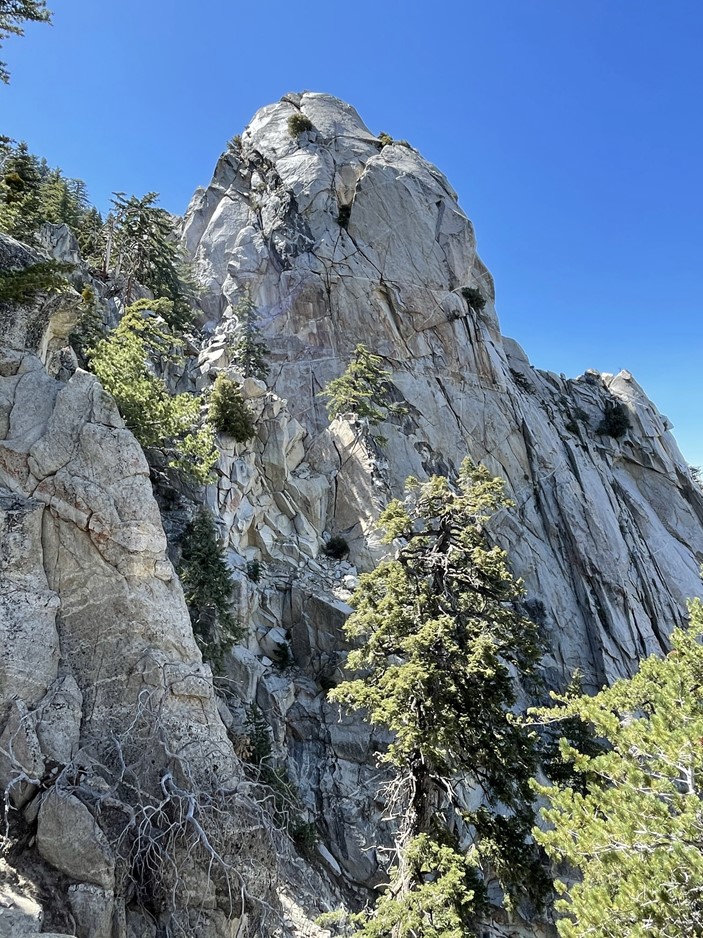
There is a huge rock formation known as Coffman’s Crag near the top of the Skyline Trail.
At 9.5 miles I finally reached Long Valley which marked the end of the Skyline Trail. I felt pretty accomplished at ascending 8000 feet already, but I knew there was still a lot of work to do.
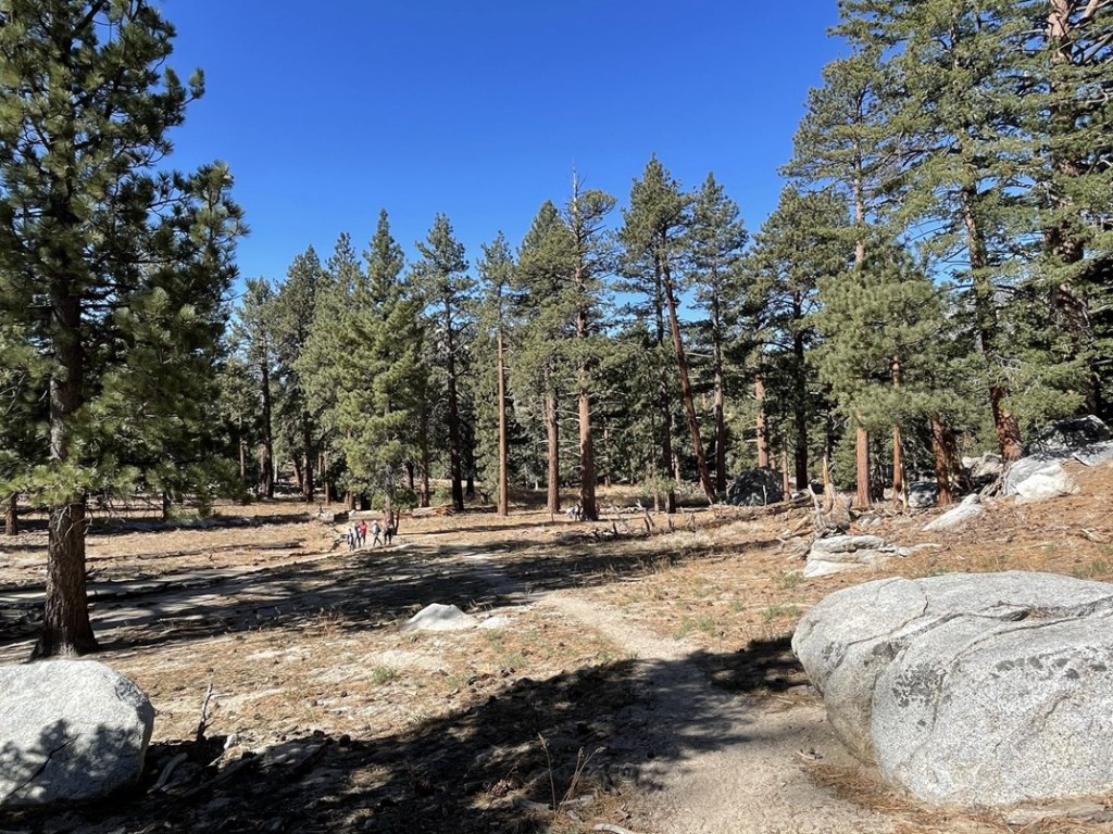
I had a snack and then continued towards the ranger station. There were dozens of people out and about, fresh off the tram. It was a little jarring after having only seen 10-15 people on the way up so far.

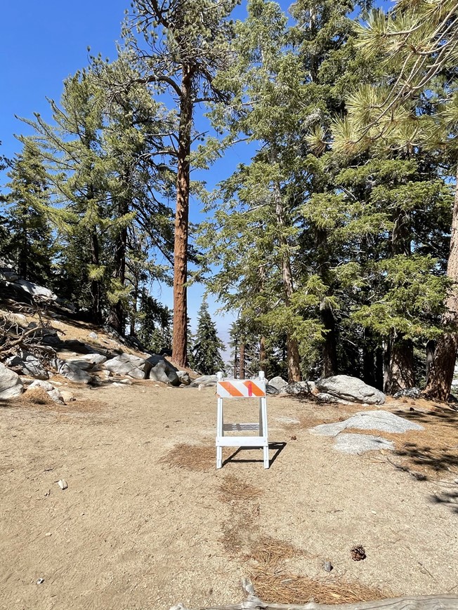
At 9.7 miles I passed the turnoff for the tram station. The tram station also contains a few restaurants, a bar, and a gift shop. This tram thing kind of ruins the whole wilderness experience if you ask me. Anyway, I reached the ranger station at 9.8 miles.
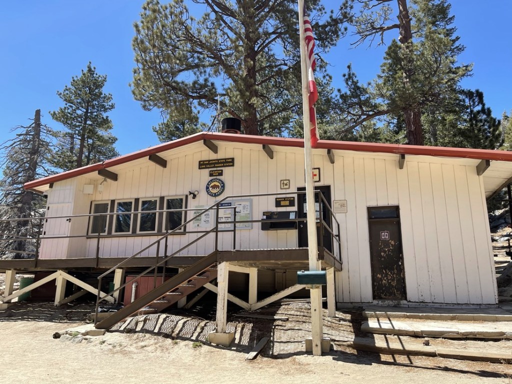
Anyone hiking beyond this point is required to get a free wilderness permit. There were 2 other hikers who had come up the Skyline Trail filling out their permits when I arrived. We had leapfrogged each other a few times in the last mile. We chatted briefly and compared notes on our hikes so far. We then had to listen to a 10 minute lecture from one of the rangers on directions to the summit, as well as the risks and dangers associated with the hike. This was clearly geared towards people hiking from the tram and back, so it seemed ridiculous that 3 people who had just hiked 10 miles/8000 feet needed to waster their time with this. I was beyond annoyed since I still had such a long day ahead of me. I considered interrupting him to say that I was planning to descend all the way back to Palm Springs and therefore I needed every minute I could get, but I figured that would earn me an even longer lecture on why that is such a bad idea. Anyway, as soon as he was done talking, I said thanks and sped off towards San Jacinto.
I hiked west away from the ranger station.
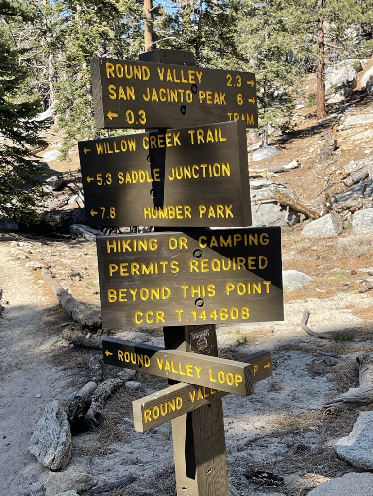
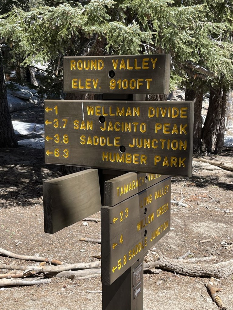
At 10.4 miles I turned left at a trail sign for Round Valley.

I crossed Long Valley Creek shortly afterward.
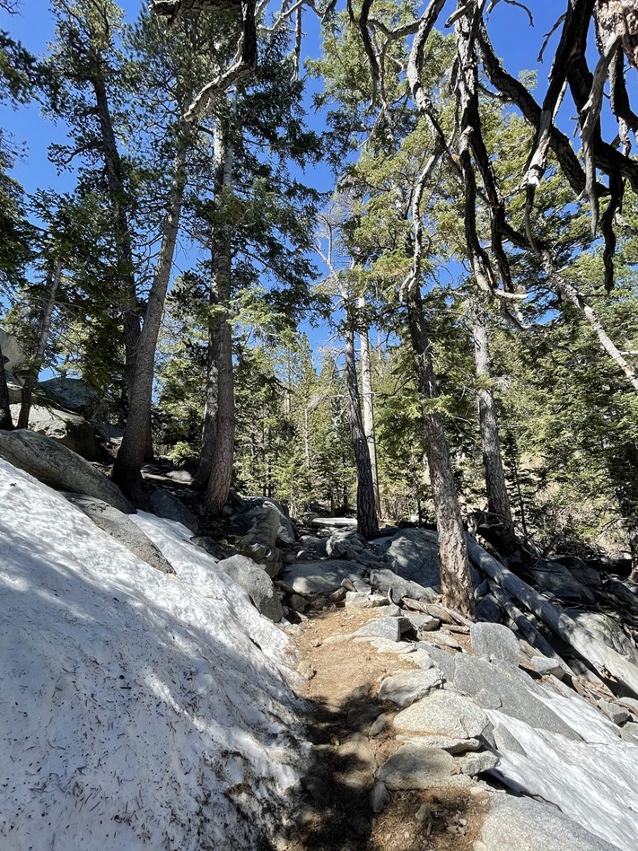
After crossing the creek, I came across the first snow of the day.
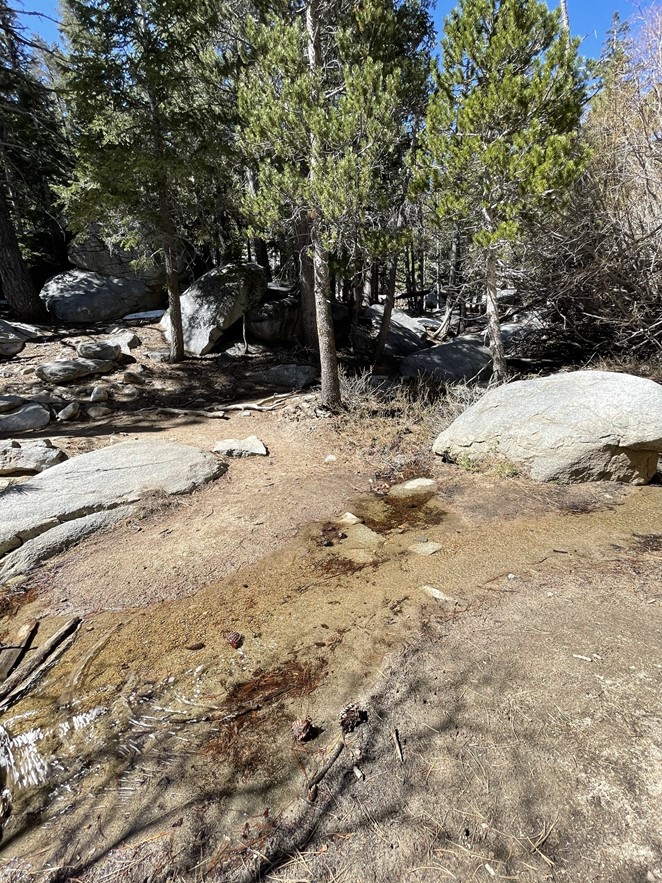
At 11.7 miles I reached Round Valley, which is a backcountry campground. There is water available here.
Beyond Round valley the snow coverage got worse. The trail was difficult to follow at times due to the snow.
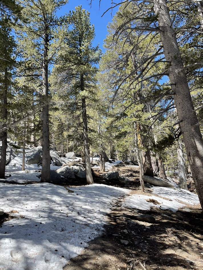
Thankfully there were a lot of footprints in the snow, and it wasn’t too deep.
At 12.8 miles I reached a trail junction called Wellman Divide.

Wellman Divide is directly south of the peak, so I turned north to continue towards the top. I passed dozens of hikers making their way up from the tram.

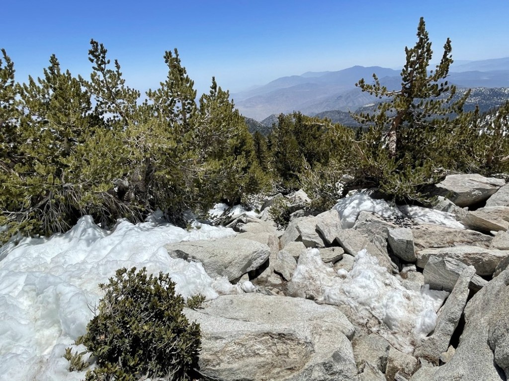
There wasn’t much more snow beyond Wellman Divide, since the rest of the trail is primarily on south-facing slopes.

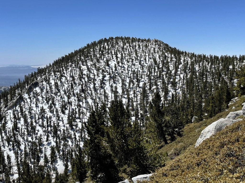
At 14.2 miles the trail made a sharp turn to the west near Miller Peak. I had climbed Miller Peak on my “Seven Summits of San Jacinto” hike last September, so I was familiar with the rest of the hike to the summit.
I had an excellent view of Jean Peak, another peak I climbed in September.
At 14.5 miles I reached the final junction where the east side and west side trails meet up just below the summit. I was very close now!

I turned north and made the final ascent to the summit.
I passed the summit cabin just below the top.

There were a few snow patches to maneuver around. The trail petered out just below the top so some minor scrambling was required to get to the summit.

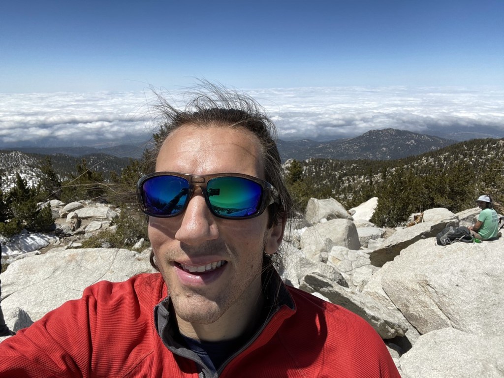
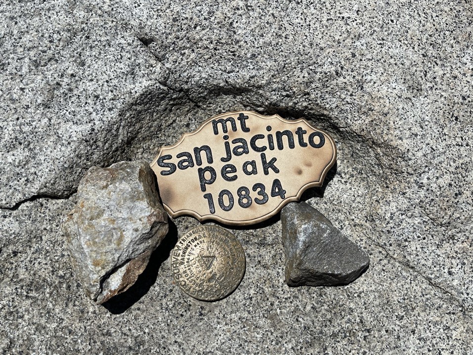
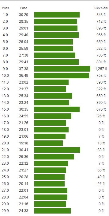
I reached the summit at 11:52am! I had been hiking for 14.8 miles and had ascended about 10,400 feet. It had taken me 7 hours 37 minutes which I was pretty happy with.
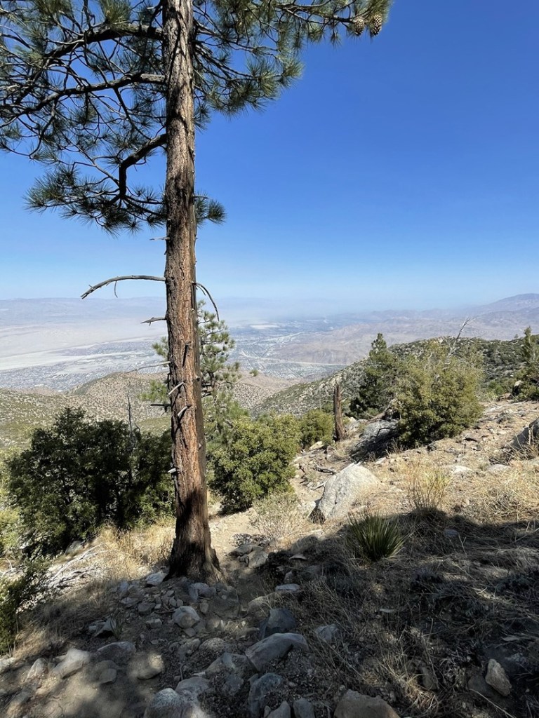
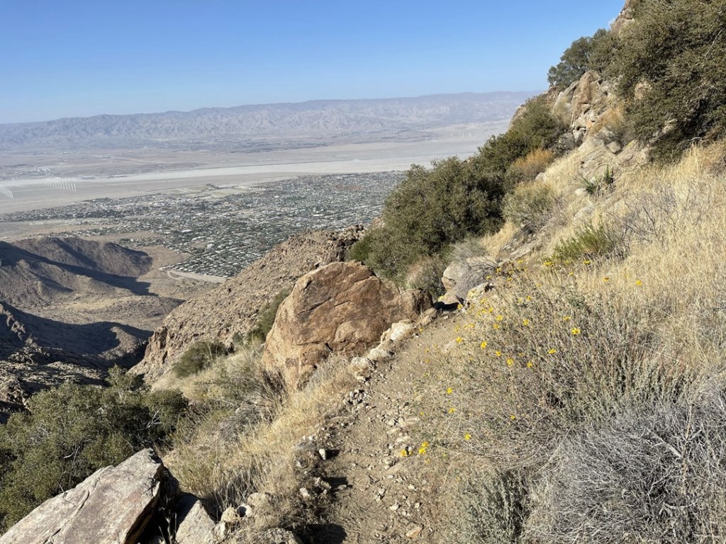
It was staggering to look at Palm Springs down below and think that I had climbed up all that way (and still needed to get down).


The western view was obscured by clouds.
San Gorgonio looked as impressive as always to the north.

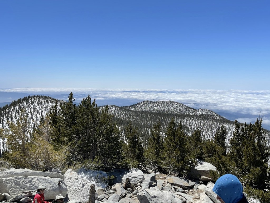
There were 20-30 people on the summit when I arrived. I only stopped for 15 minutes to have some snacks, reapply sunscreen, and refill my hydration bladder. I had gone through 4 of the 7 liters of water I had brought which was mildly concerning, but I knew I would drink much less on the descent (even in warmer temps). I also had gone through half of the 1 liter of Gatorade I had brought. I had packed way too many snacks so that was of no concern. It was surprisingly warm even at 10,834 feet – I guessed it was probably around 60. The forecast called for a high of 95 in Palm Springs. I began the descent at 12:09pm.
I made it down to the final junction below the summit and ran into the 2 hikers I had to sit through the ranger’s lecture with. They seemed to be feeling pretty good and were encouraged when I told them how close they were.
I made quick time on the descent to Long Valley. I was almost shocked at how good I was feeling. I was feeling euphoric from the tremendous accomplishment of summiting, but I figured that would wear off in a few miles.
I reached Wellman Divide at 16.9 miles. I started to run into more of the other hikers I had passed on the Skyline Trail. They all looked absolutely miserable to me (besides the first 2 I had seen just below the summit). One girl I recognized was actually wearing sandals. I’m almost positive it was the same girl I had passed about 3 miles into the hike, and I couldn’t believe she had hiked up all that way without proper footwear (maybe I was delirious from the altitude, but I don’t think so). I reached Round Valley at 17.9 miles. I considered filling up with more water here but decided not to for 2 reasons. 1 – I had read reports that the water was disgusting and 2 – I thought it would be cool to do the entire hike without needing external water sources.

I continued east towards Long Valley.

I reached the ranger station again at 19.9 miles. I returned my wilderness permit and then sat on one of the picnic tables and took a short break. I proceeded past the turnoff for the tram station and reached the top of the Skyline Trail at 20.4 miles.
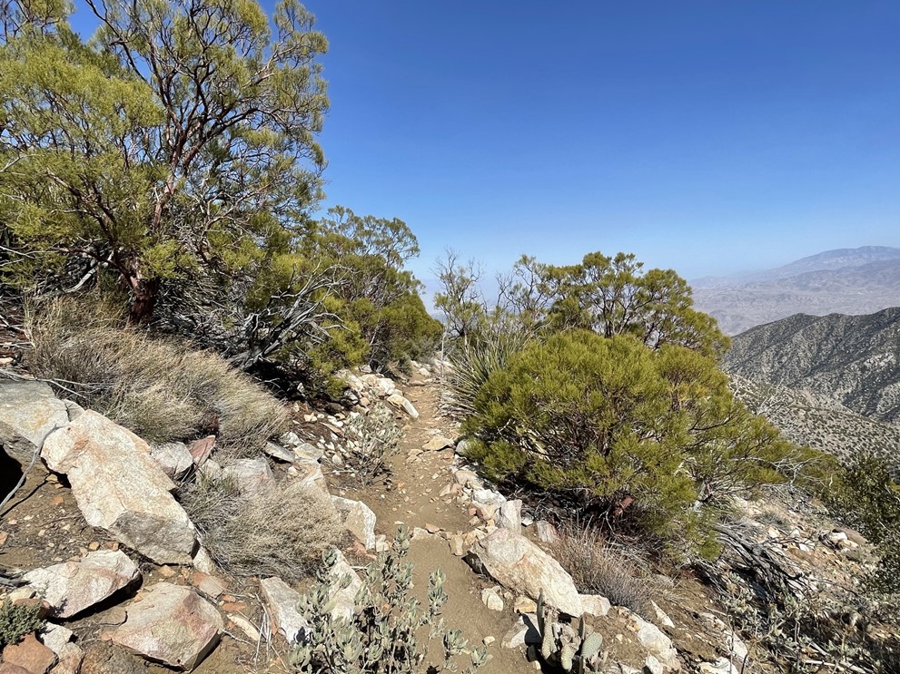
It was straight down from there! It honestly felt good to be leaving behind the crowds behind and return to more of a wilderness experience.

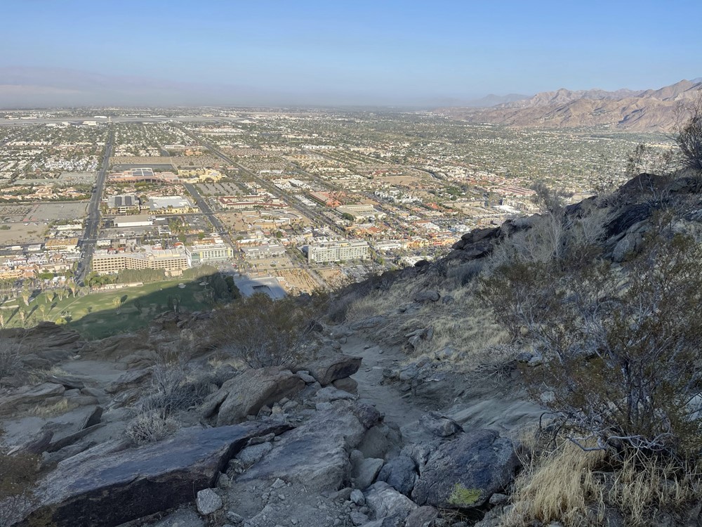
Palm Springs still looked very far away. I could see the airport in the middle of the city (the runway can be seen clearly below).

I found myself making very good time on the descent. The trail was in good enough shape that I could jog down certain portions.
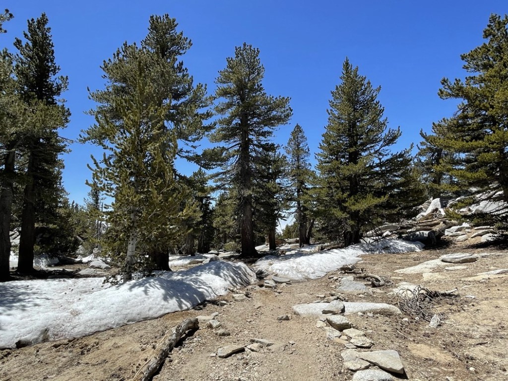
Soon I was below the tree line.
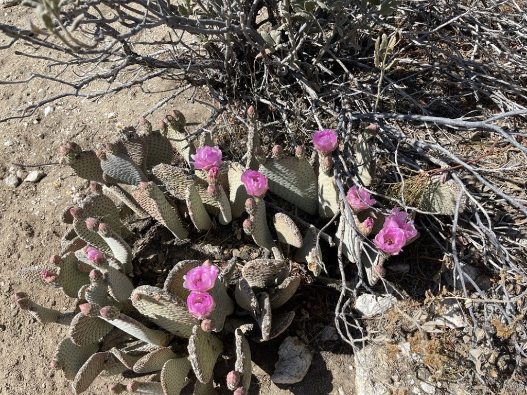
I found some beavertail flowers!
The temperature warmed up as I descended but never felt too oppressive.
I took quick breaks every couple miles to eat a snack. As expected, I was needing far less water on the descent, so I had no concerns about running out.
Once I got within a few miles of the trailhead I started to run into groups of people who were just out for a short afternoon/evening hike. One guy told me he had seen a rattlesnake down below.
The final few miles were mostly shaded since it was late enough in the day for the sun to disappear behind the upper slopes to the west.

It was fun to watch the city get closer and closer as I descended. I could even see planes taking off and landing at the airport.
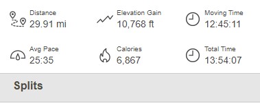
I finally reached the car at 6:11pm. This epic hike totaled 29.91 miles, 10,768 feet elevation gain, and 13:54:07 total time. The descent had taken just 6 hours 2 minutes (over 1.5 hours less than the ascent).
What an awesome hike! It was definitely one of the coolest hikes I had ever done, and I felt very accomplished. It was the most elevation gain I had done in a day and the 2nd most mileage.
