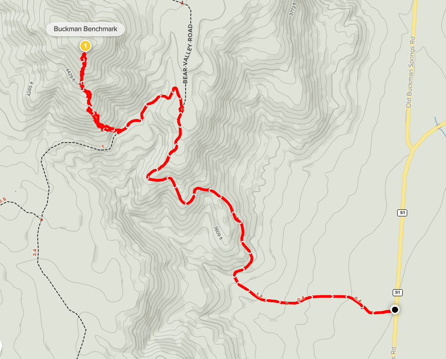
I was gradually trying to get back into hiking shape after my recent bout with Covid, so I decided to climb a few minor summits in the local San Diego mountains. My goal for the day would be Buckman Benchmark (4641 feet) and Long Valley Peak (4880 feet). Both peaks used to be on the Sierra Club San Diego County 100 Peaks List, but they were delisted for some unknown reason a few decades ago. I’ve already climbed all of the non-desert peaks on the current list which is why I turned my attention to these delisted peaks. To add to the fun, Stella would be joining me for the first time since we climbed Chariot Mountain (another delisted SDC Peak) back in November. We got a late start, not leaving San Diego until after 9am. We made the 1 hour drive and parked on Buckman Springs Road, which is a paved road just off of Interstate 8. I had intended to drive up Bear Valley Road to get closer to the peak, but the road was gated so I was forced to park there which added a couple miles to the hike. We started hiking at 10:22am from 3210 feet. I actually had to climb up the gate to hop over it, but Stella was able to crawl underneath it. Most trip reports I read indicated this gate is typically open so I have no idea why it was locked at this time. The peak was visible dead ahead as we began hiking up the forest road.
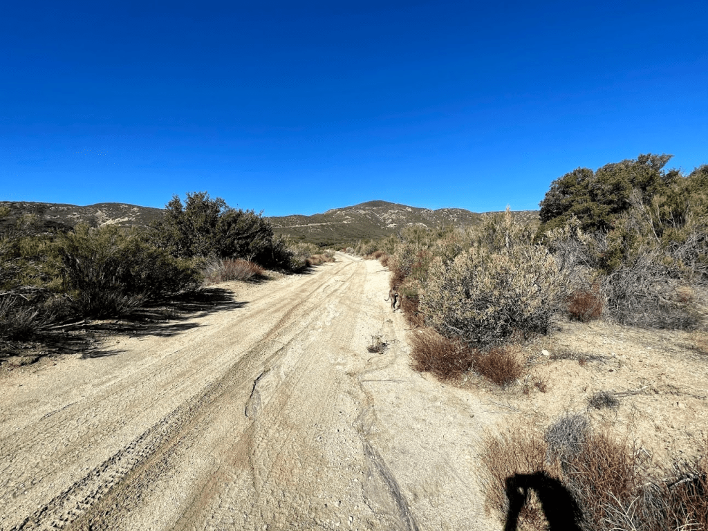
The road started out fairly level as it heads west towards the hills.

The road started out fairly level as it heads west towards the hills.
After a few tenths of a mile the road bent to the north and we started to climb.
The road made another bend to the west. It was very nice outside – typical southern California winter weather (mid 60s).
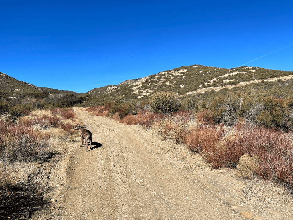
We passed through another locked gate at 1.5 miles. This gate is typically locked so most people start their hike from here (meaning our hike was 3 miles longer than it would have been). There was a couple sitting in a jeep on the other side of the gate. I waved hello at them and continued. The road bent to the north again, and the peak now appeared very close.
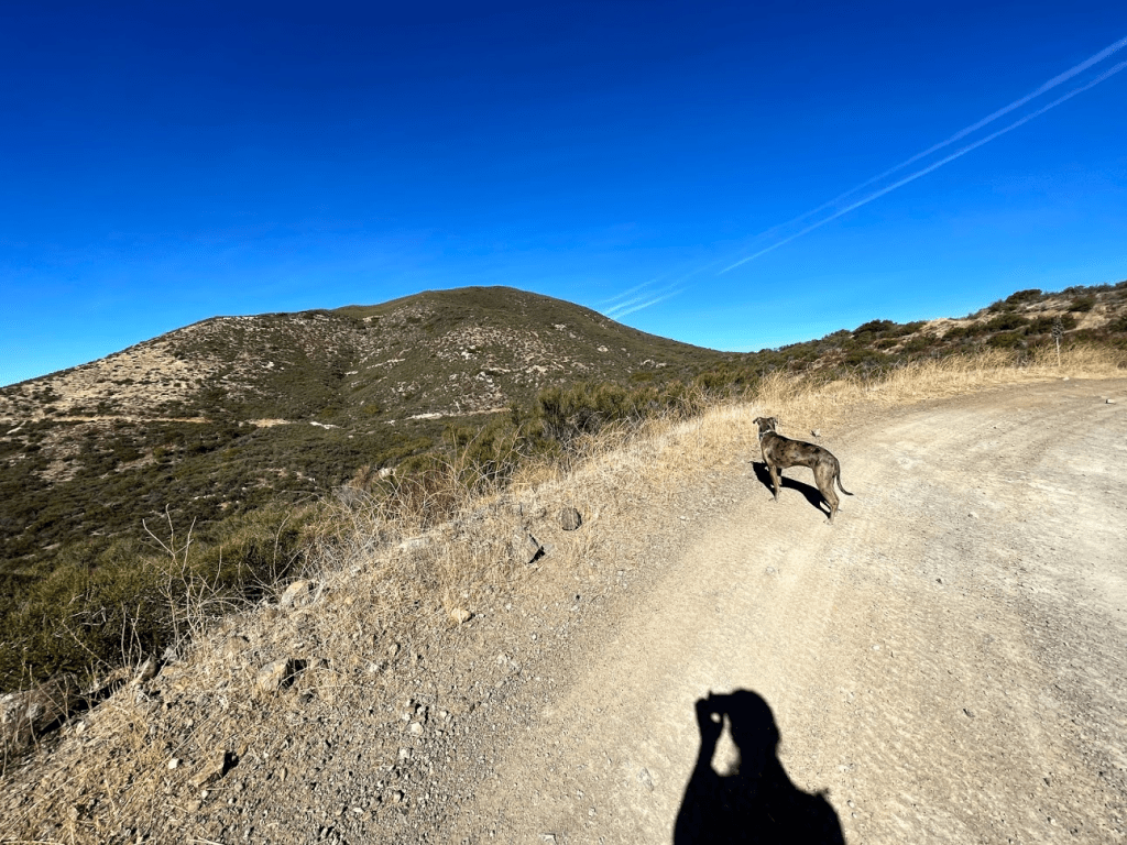
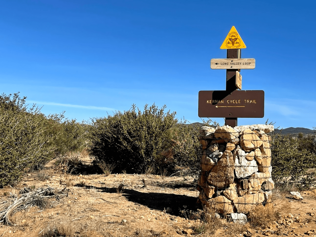
At 1.7 miles we reached an intersection. Bear Valley Road continues straight ahead to the north. We instead went left (west) on Long Valley Road. There were 2 dirt bikers at the intersection, so I stopped briefly to chat with them.
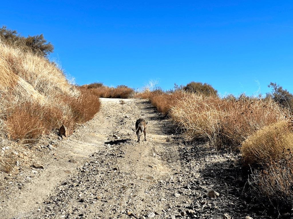
We continued west on Long Valley Loop Road for a short way until we were at the southeastern base of the peak. We then left the road to begin climbing up the brushy slope. It would be a 600 foot climb in a half mile from the road.

I followed a GPS track up the slope, and also was able to follow a very vague use trail part of the way up. Initially, the hillside was just covered in dry grass which was easy to walk through. About halfway up, the brush became denser which slowed us down a little.

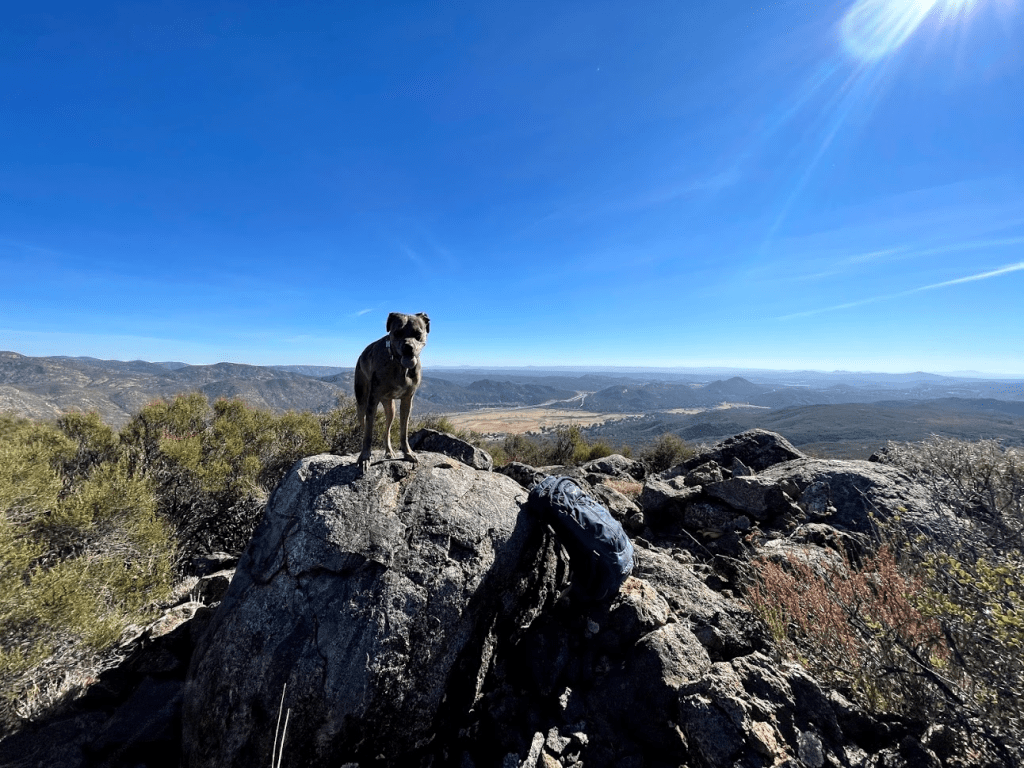
Closer to the top, the brush thinned out again. We reached the summit at 11:33am at 2.6 miles!
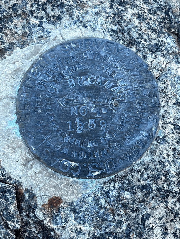
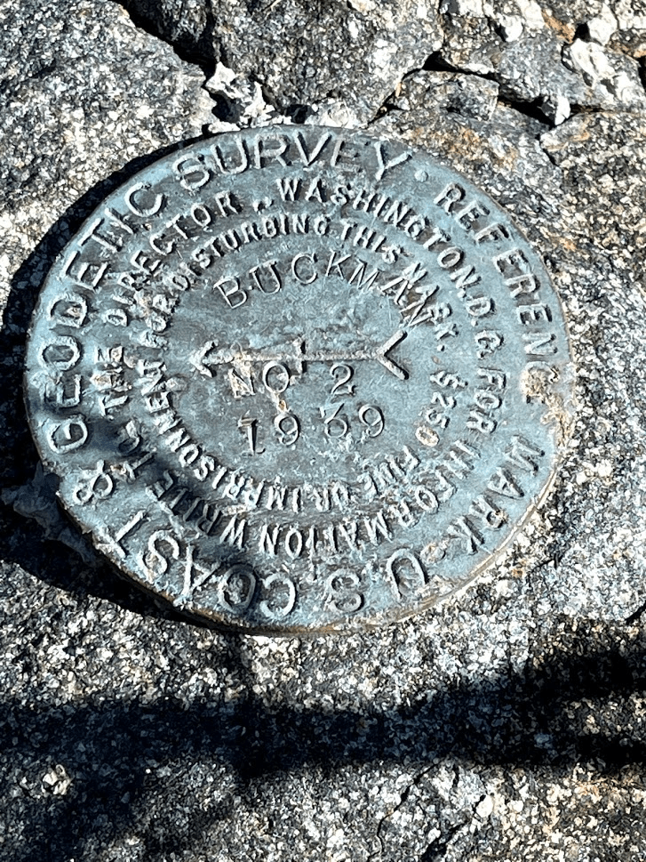
We found 2 register cans on the summit. I signed the newer looking one which dated back to 2016. We also found the benchmark and 2 reference markers.

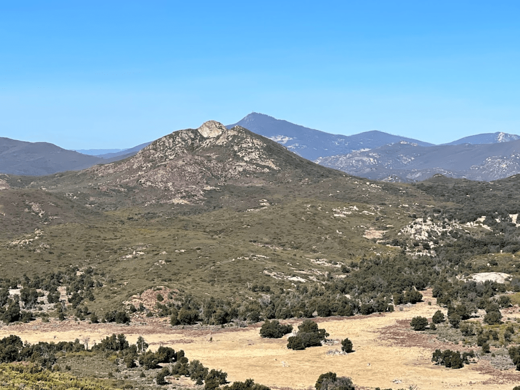
It was a beautiful clear day, so we had tremendous views in every direction. To the northwest we could see the rocky summit of Long Valley Peak, our next objective. Cuyamaca Peak can be seen behind it.
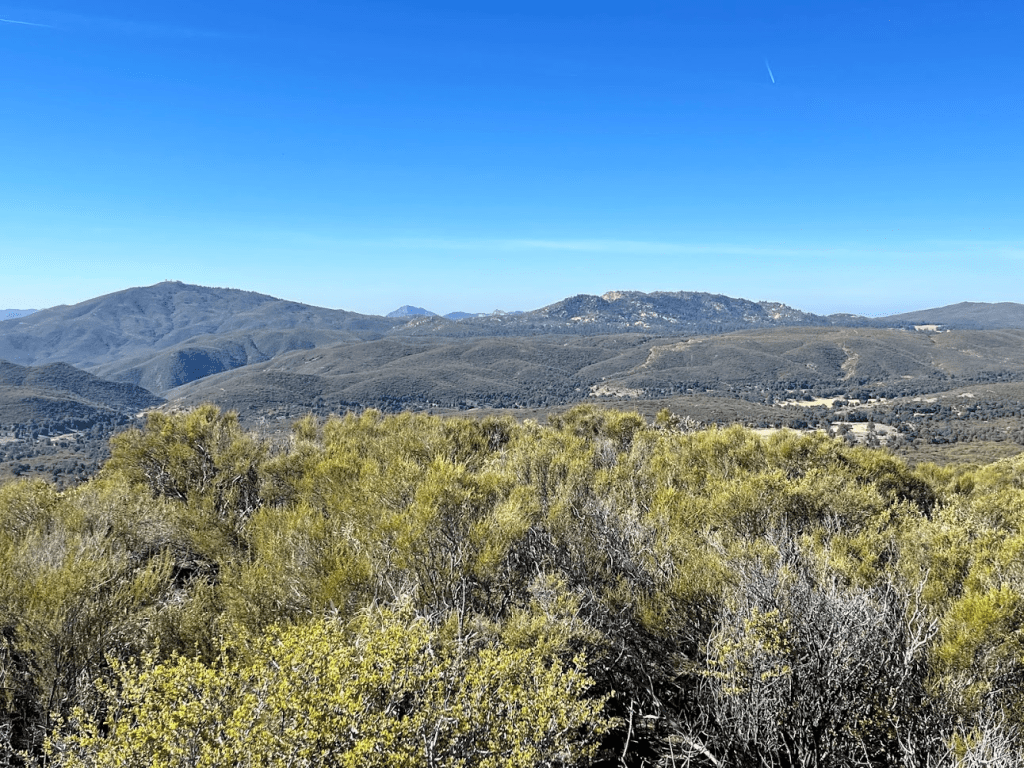
To the southwest we could see the fire lookout on top of Los Pinos Mountain (left), as well as Corte Madera Mountain (right).
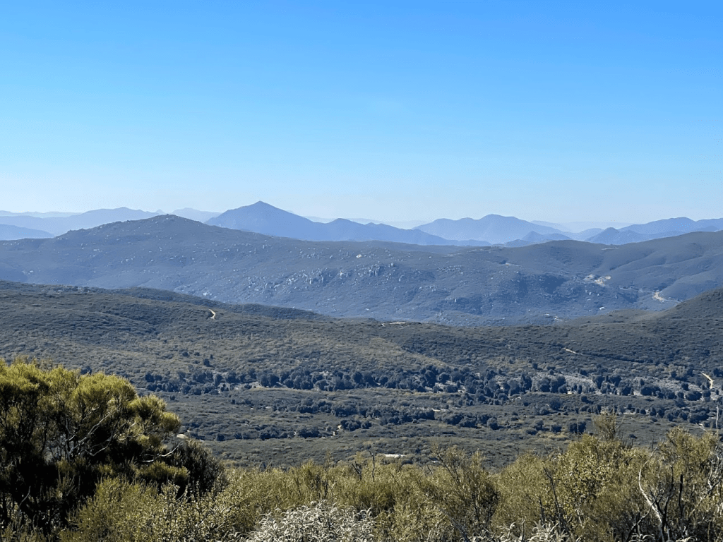
To the south we could see Tecate Peak as well as many peaks across the Mexican border.
We began the descent after a 20 minute break. We proceeded carefully down the brushy slope.

We reached the road once more at 3.1 miles. There were now quite a few jeeps and dirt bikes out and about. All of the roads in this area are popular OHV routes, which is perhaps why the peak was delisted. I put Stella on the leash to be safe until we reached the first locked gate.
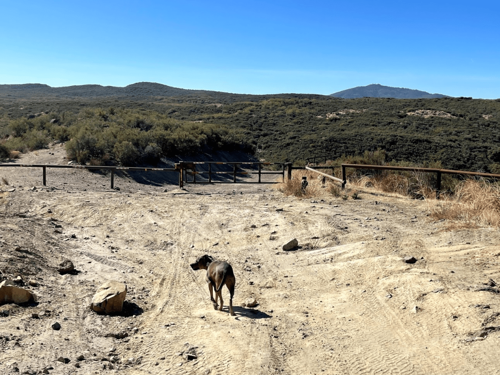
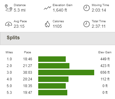
From there, it was an easy hike back down to the car, which we reached right at 1pm. This hike totaled 5.3 miles, 1640 feet elevation gain, and 2:37:11 total time.
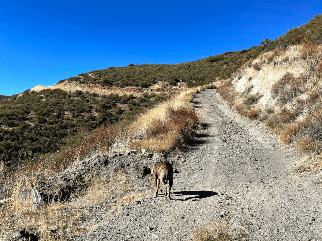
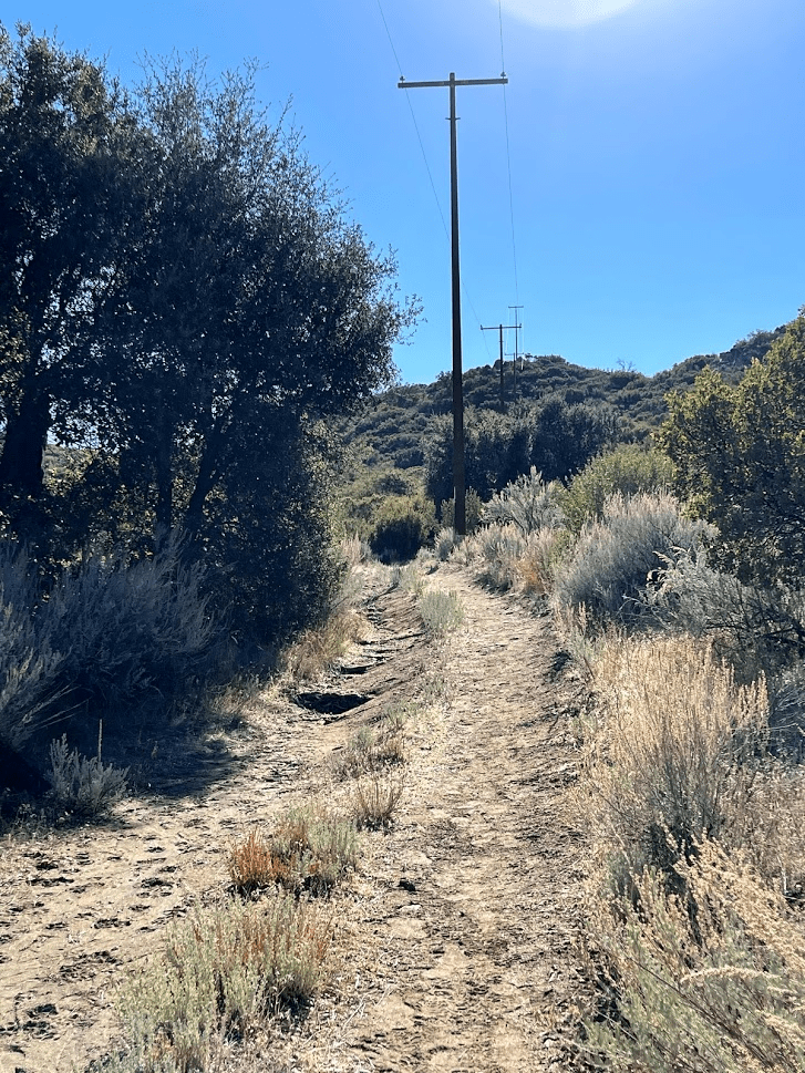
We got in the car and made the short drive to the next trailhead, which is located on the south side of the Pine Valley Road exit off of I-8. This trailhead is a staging area for OHVs, and it was very busy when we arrived. We began this hike at 1:29pm from 3876 feet. We hiked for a very short distance on Pine Valley Road and then made an immediate right turn onto another road. Thankfully, this road was gated so we wouldn’t have to deal with OHVs on this route.

The road we were on is actually a power line road which explains why it was gated. The road makes many ups and downs as it approached Long Valley Peak from the north.
After a mile or so, I noticed Stella was lagging behind me. She looked extremely tired and miserable. I was surprised, since we were only about 6 or 7 miles in at this point. We’ve hiked 16 miles together before, so I know she is capable of much more. I tried walking a little further, but she just was not having it. Reluctantly, I decided to turn around and get Stella home as quick as possible. We ended this hike with just 2.45 miles, 551 feet elevation gain, and 1:00:45 total time.


We inspected Stella once we got home and found a small cut in one of her paws. This explained why she wanted to turn around after only 6 miles. It is a few days later as I’m typing this and she is doing much better now. She will be back to her regular self in no time!
