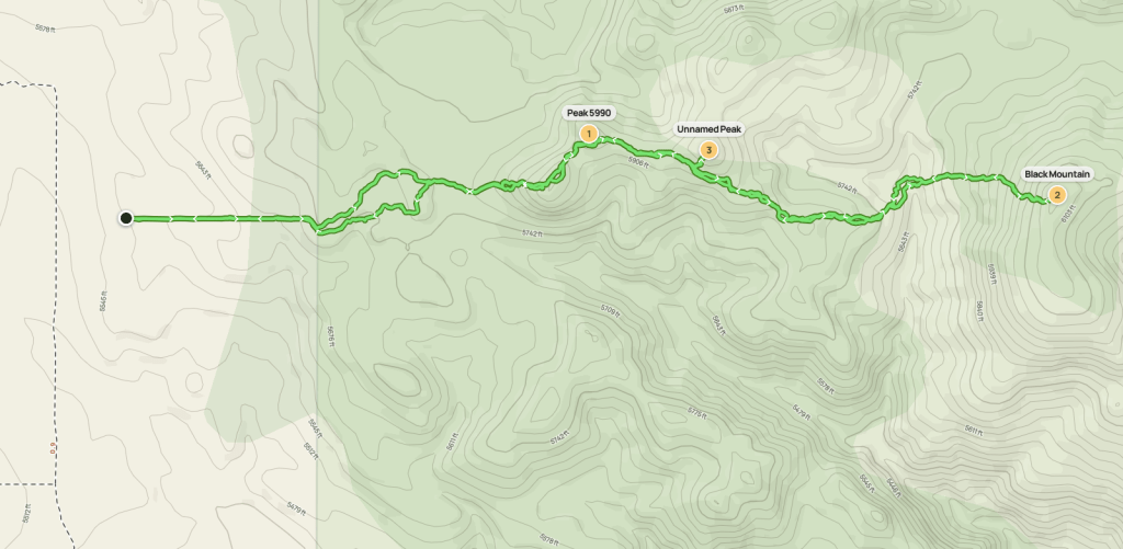
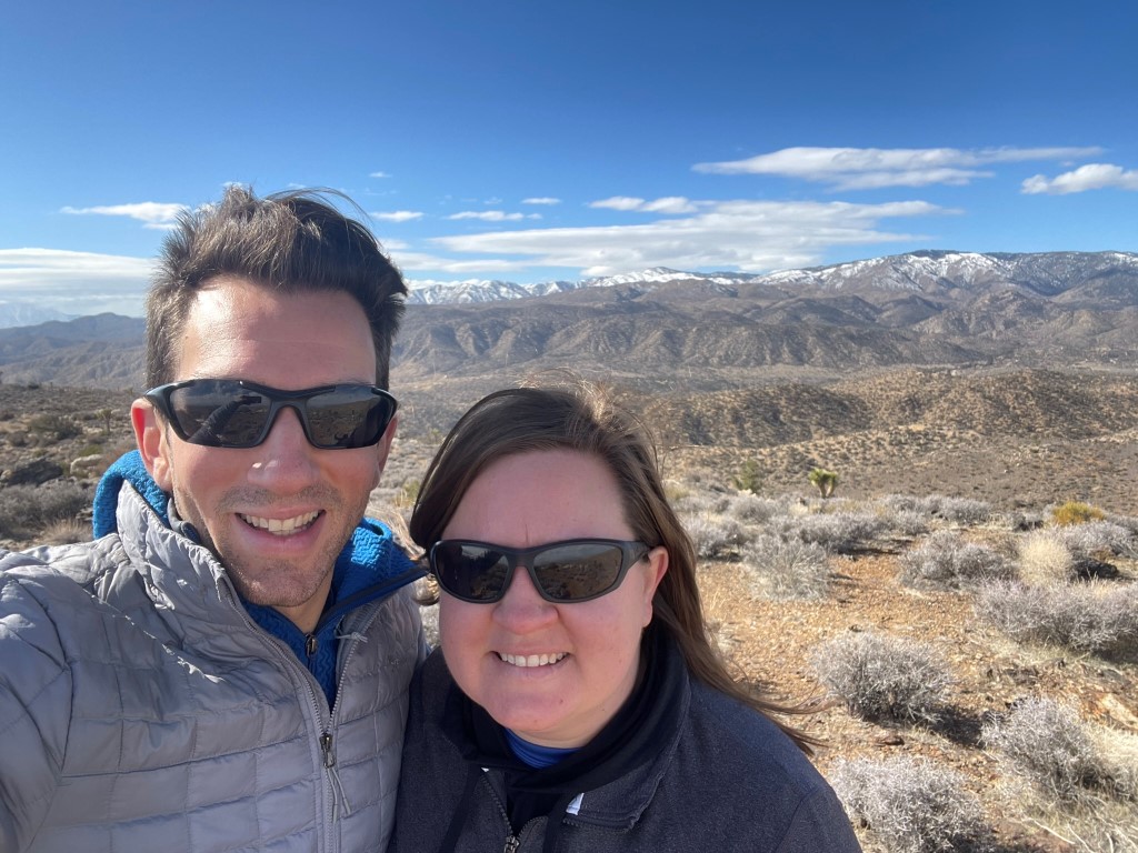
Black Mountain is a 6149 foot peak located in the Little San Bernardino Mountains northwest of Yucca Valley. The peak is included on both the HPS list and Andy Zdons Desert Summits book. It is one of a few peaks in the area that I hadn’t gotten around to climbing yet, so I was happy to have the opportunity to do so on this Sunday morning. I was spending the weekend in Palm Springs with my family, so I was close by. My sister was in town as well, so I decided to take her to climb her first ever desert peak! We left Palm Springs at 7:15am and drove about an hour to the start of the hike. From Highway 62, we went northwest on Pioneertown Road, then continued northwest on Rimrock Road, then still continued northwest on unpaved Burns Canyon Road, then north on an unnamed road for a short way, then finally east on a rough dirt path and parked. Burns Canyon Road is in good shape and should be okay for vehicles with moderate ground clearance. The final dirt road was steep and rocky, so I didn’t drive too far on it. I probably could have continued another quarter mile or so until the road ended, but the hike wasn’t long so we didn’t mind a few extra steps. We began hiking at 8:34am from 5559 feet above sea level.
We hiked east and reached the end of the road at 0.4 mile. We then hiked northeast over some rolling terrain.

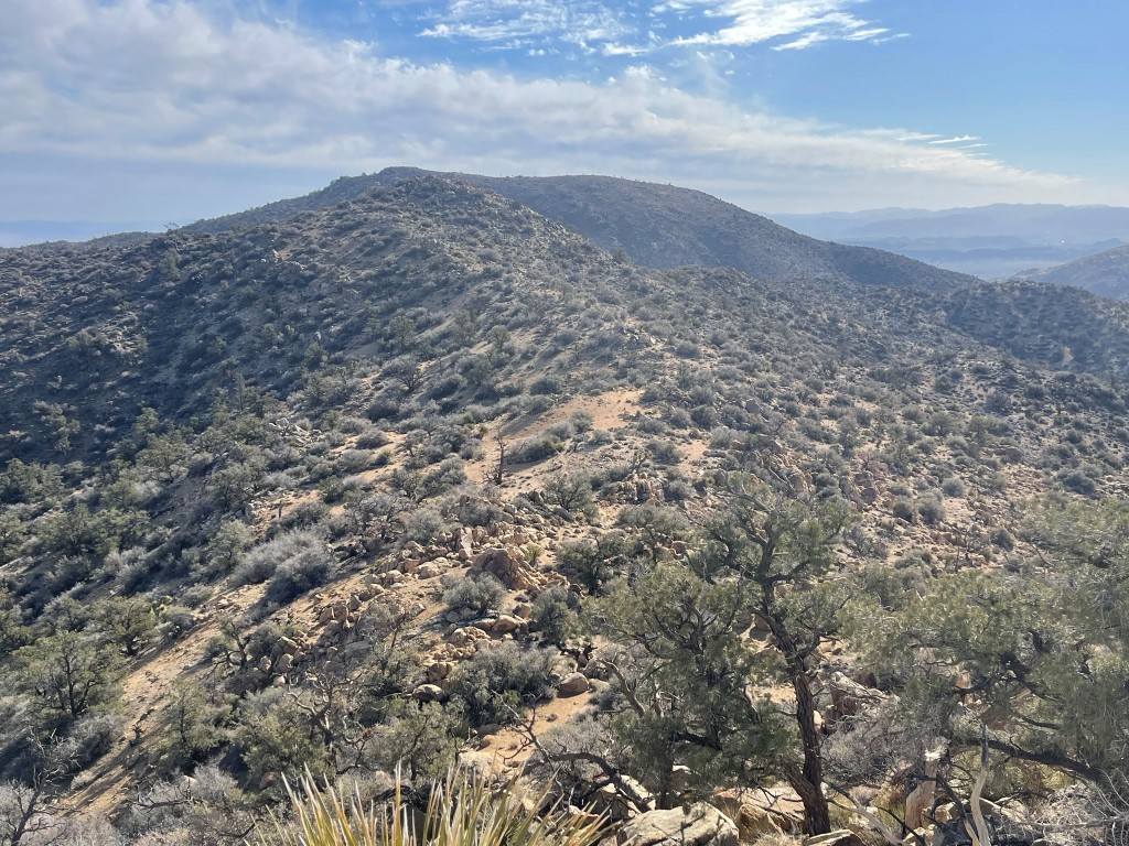
We soon turned east again and then climbed about 200 feet onto a broad ridge. We hiked northeast for a short way and then I quickly scrambled up Peak 5990 while Sarah rested below.

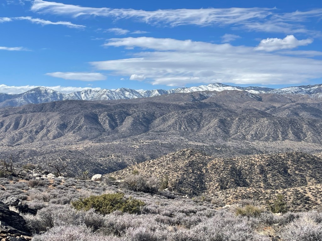
I reached Peak 5990 at 9:12am at 1.04 mile. Black Mountain is the dark colored peak in the background behind the smaller one in the foreground.
I climbed back down and then we continued east along the broad ridge. We gradually descended and then passed to the right side of the small bump I had seen from Peak 5990. From there we descended about 300 feet into a dry creek, which we reached at 1.8 miles.
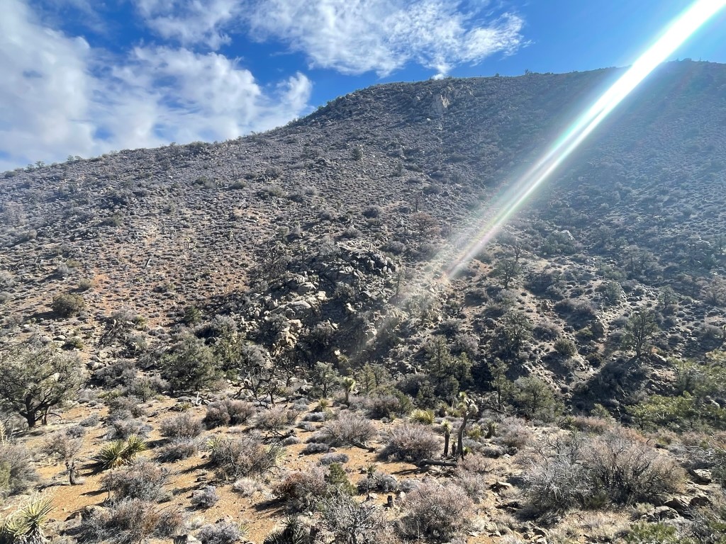
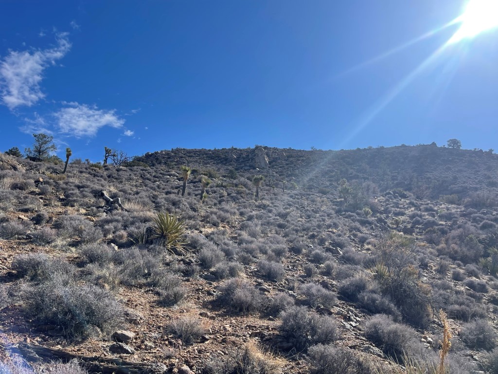
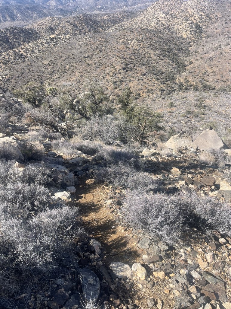
We took a short break and prepared for the final 500 foot climb to the peak. We started northeast and then climbed directly east from there. There was a pretty defined use trail on this entire section.
We reached the summit at 10:10am at 2.25 miles!
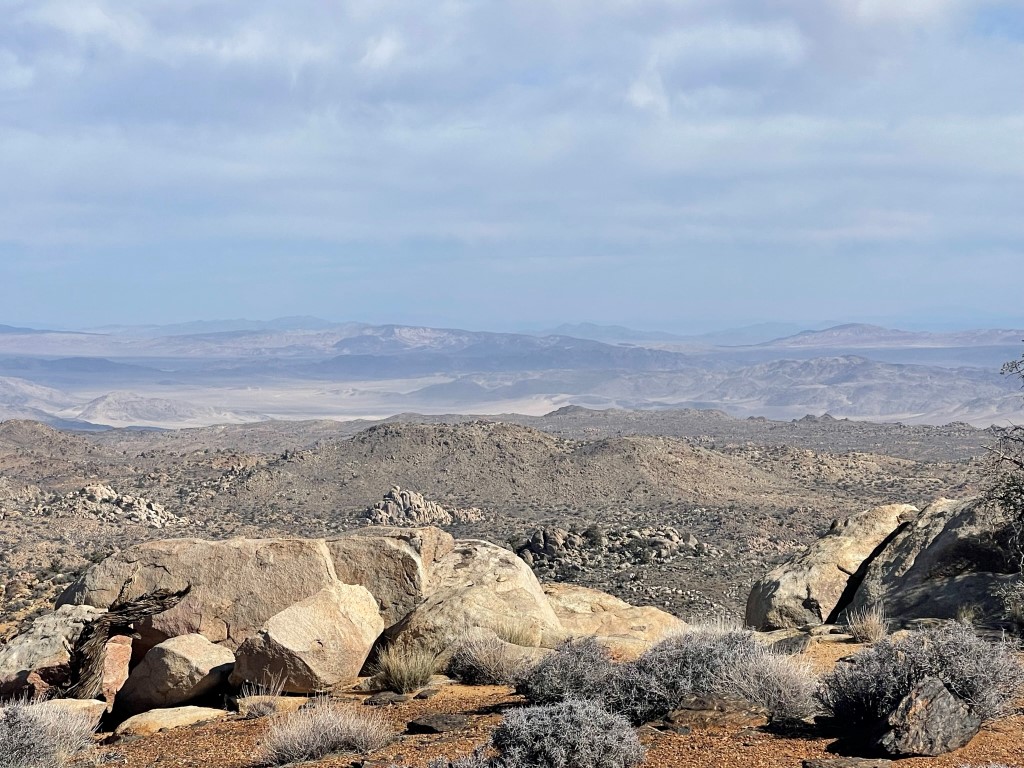
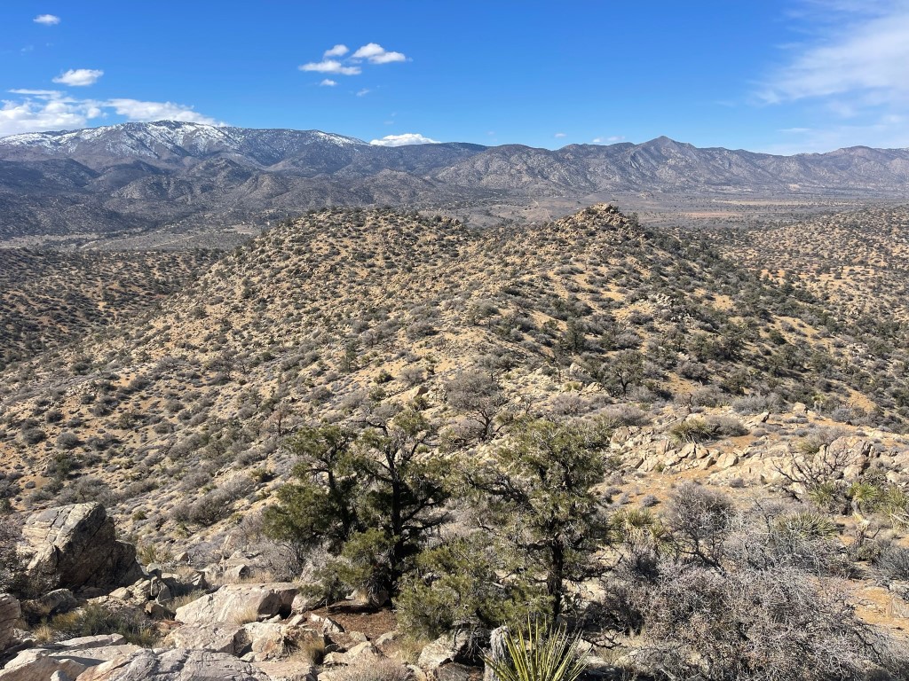
We did not locate a register. The views were pretty good despite some clouds. To the west were the San Bernardino Mountains. San Gorgonio was not visible.
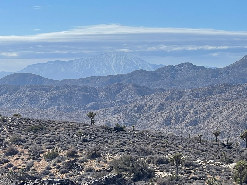
San Jacinto to the south:
Pioneertown to the southeast, with Joshua Tree National Park in the background.
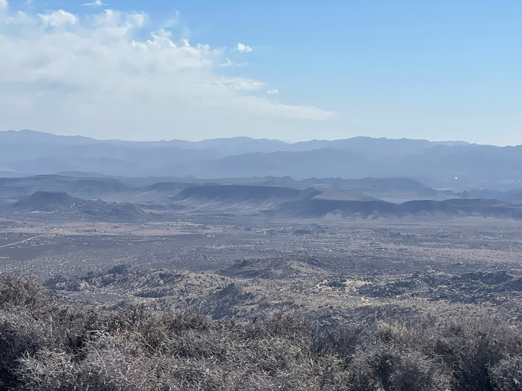
The Mojave Desert to the east:
We spent some time enjoying the view and then descended back to the dry creek.
We climbed up the other side. I then scrambled up the unnamed peak we had passed earlier which Sarah rested. I had a good view of the remainder of the route.
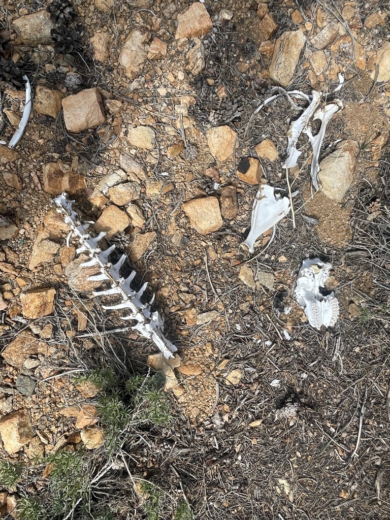
I climbed back down and then we retraced our steps back to the car. We spotted a bighorn sheep skeleton near the end of the hike.
We reached the car at 12:19pm. Stats for this hike were 4.62 miles, 1306 feet elevation gain, and 3:44:46 total time.