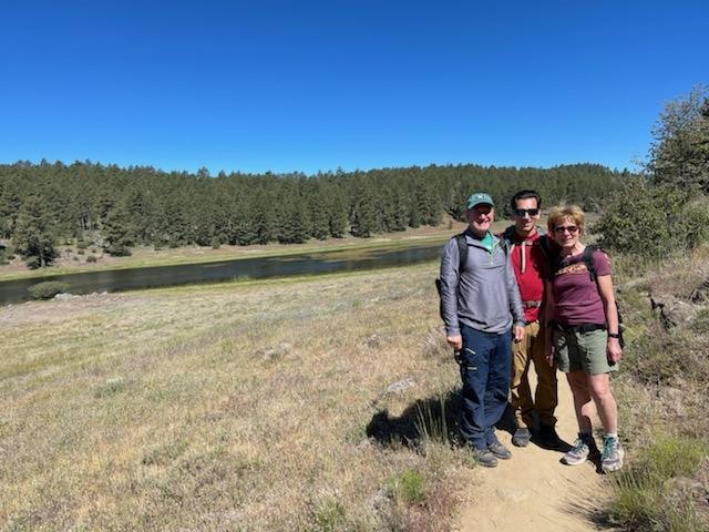
My parents were in town visiting for Memorial Day Weekend, so I decided to take them to Mount Laguna for a nice loop hike through the local mountains. Our friend Marty joined us as well so the four of us piled into my Subaru and made the 1 hour drive east. From I-8, we drove 5.6 miles north on the Sunrise Highway (Hwy S-1) and parked on the side of the road at the Sunset Trailhead. There were already a lot of cars there when we arrived, but there was still plenty of room for us to park. We figured the parking would fill up throughout the day since it was a holiday weekend and the weather was gorgeous. We began hiking at 8:28am from 5507 feet above sea level. We hiked north a short way and reached a fork where the Sunset Trail and Big Laguna Trail split. We went right onto the Big Laguna Trail.

The weather was absolutely beautiful as we got started – low 70s and not a cloud in the sky. We made another right turn at 0.4 mile as we approached Big Laguna Meadow.

At 0.8 mile we passed through a barbed wire fence. The trail then paralleled the fence for a short distance.
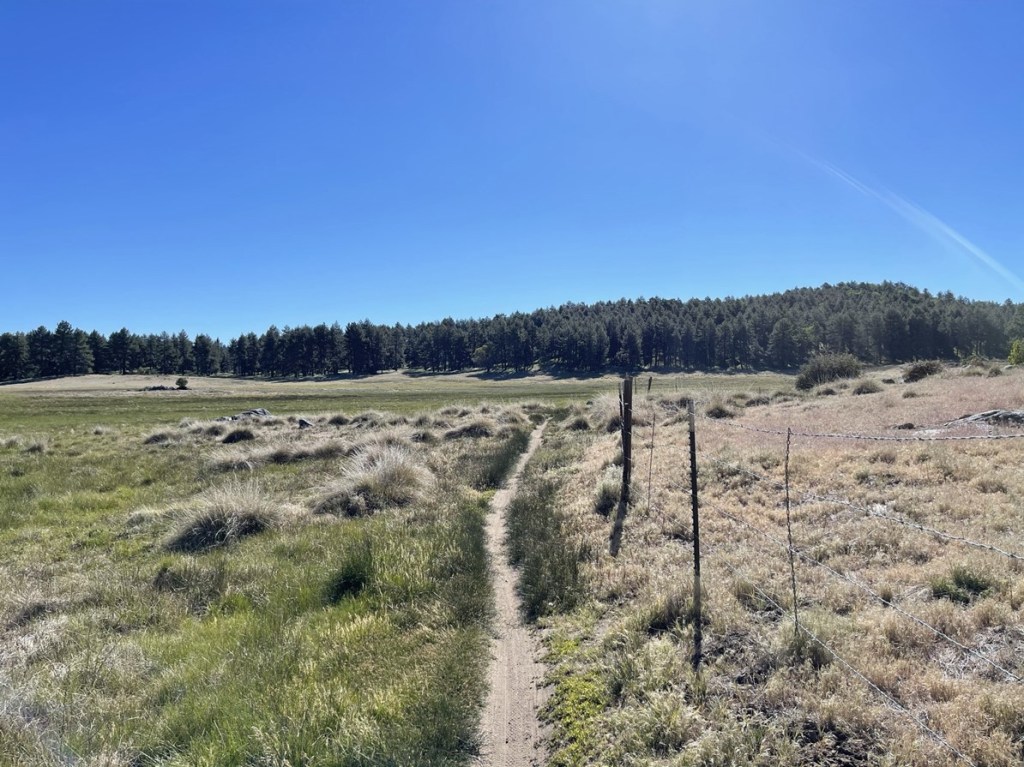
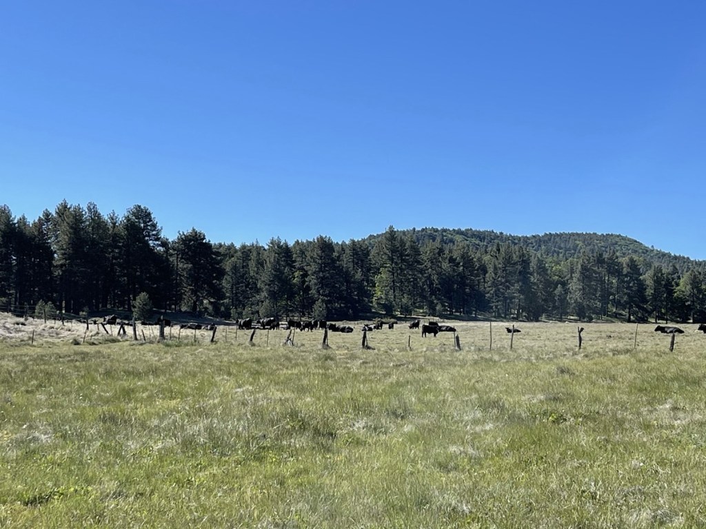
We saw some cattle off to the right.
At 1 mile we went left at a T intersection. The trail followed the edge of the meadow.
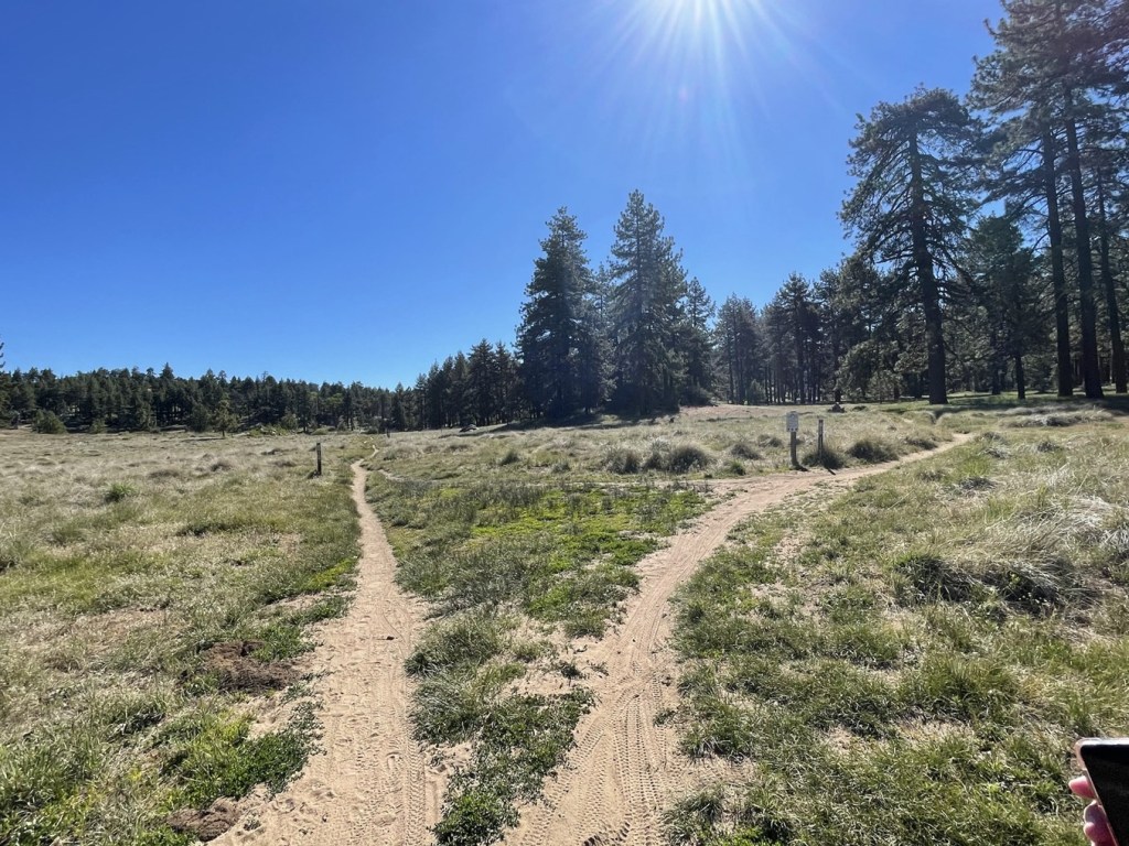
There are many interconnecting trails in this area, so I checked my GPS frequently to make sure we were still on track. We made left turns again at 1.4 miles and 1.7 miles as the trail looped around the eastern side of the meadow. At 2.6 miles we turned right at a fork.
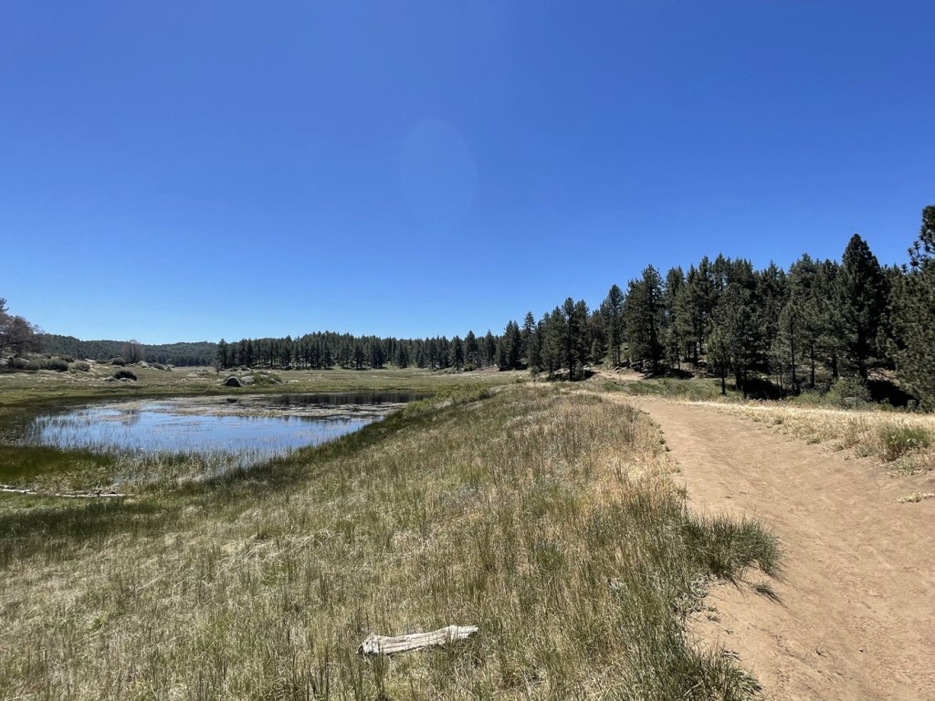
Shortly after the fork we reached Big Laguna Lake.


The lake was very pretty so we stopped to admire it.
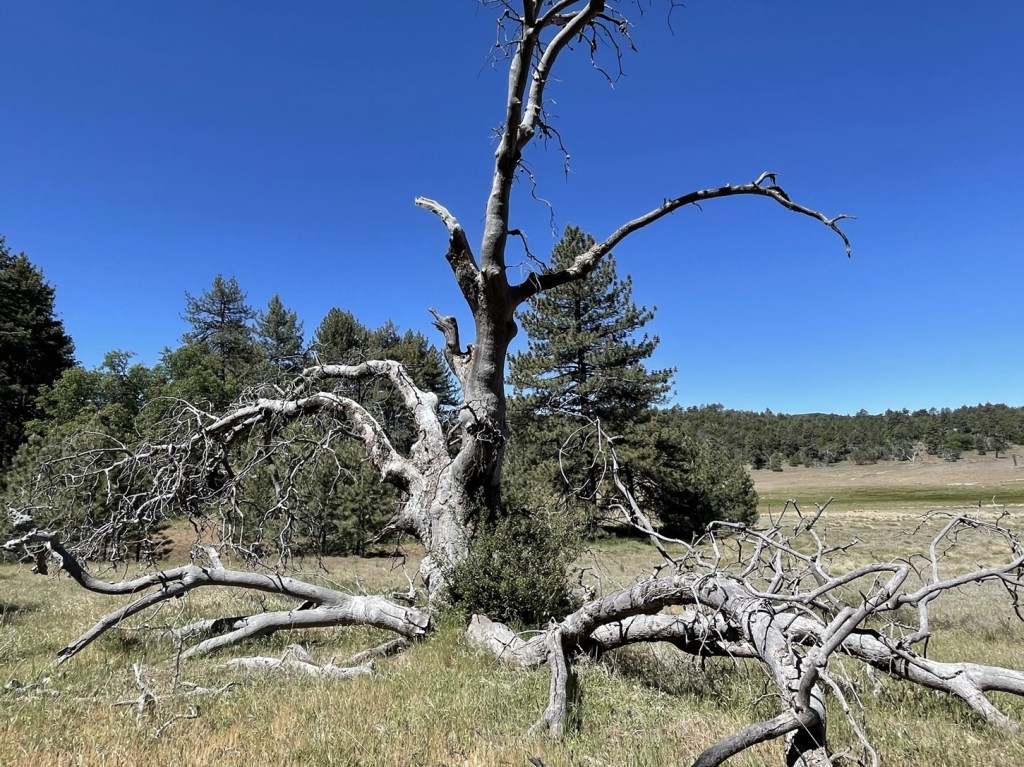
We continued north along the eastern edge of the lake. The trail was starting to get pretty crowded, both with other hikers and with mountain bikers. Just beyond the lake we saw a very large dead tree.
At 4.3 miles we turned left and began heading down the other side of the lake. At 4.7 miles the trail forked. We could have gone left to remain on the Big Laguna Trail which would have taken us along the western edge of the lake. Instead, we went right on the Sunset Trail.

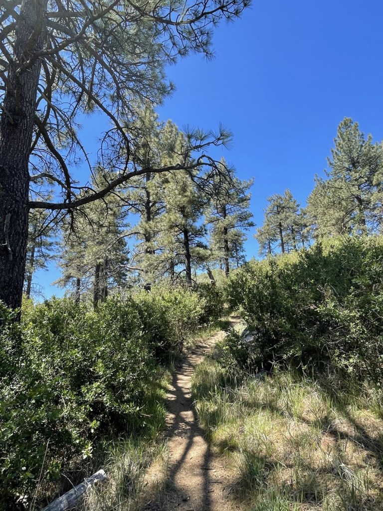
The hike had been mostly flat up to this point, but the Sunset Trail has some elevation gain as it ascends a little hill west of the lake. The trail also was narrower and brushier.
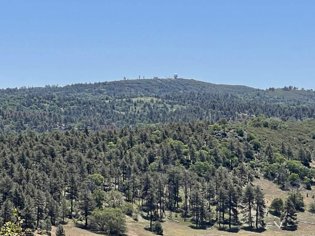
We stopped at a nice viewpoint along the trail. We could see the golf ball on top of Stephenson Peak to the east.
We could also see Toro Peak to the northeast.

We hiked a bit further and found a nice viewpoint facing the other direction. We could see Cuyamaca Peak, Middle Peak, and North Peak.

Once we were past the viewpoint the trail began to descend.

We passed some pretty wildflowers.

At 6.7 miles we made a right turn. We passed a small pond and then made another right.
From there, the terrain was pretty easy back to the trailhead.

We reached the car at 12:37pm. This hike totaled 8.54 miles, 820 feet elevation gain, and 4:09:37 total time.


