Bertha Peak (8201 feet) is a peak on the Sierra Club HPS List just north of Big Bear Lake. I was in town for the weekend with my girlfriend, Alexia and our dog, Stella, so I chose this peak as a quick morning hike before we got the day started. I initially brought Stella along with me, and we started hiking from the Cougar Crest Trailhead just before 6:15am. However, it was immediately clear that she wasn’t up for any hiking this morning. The day before, Stella climbed Onyx Peak with us and walked around town all evening with us, so she was extremely tired. She even joined us when we went kayaking! It was only a 10 minute drive back to the cabin, so I dropped her off to sleep in with Mommy and returned to the trailhead. I parked alongside the highway instead of in the parking lot since I didn’t have an Adventure Pass. I started hiking at 6:39am from 6821 feet.

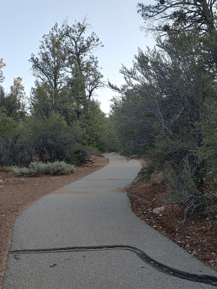
There were already 4-5 cars at the trailhead. I walked through the parking lot and found the trail on the far side. It starts out paved.
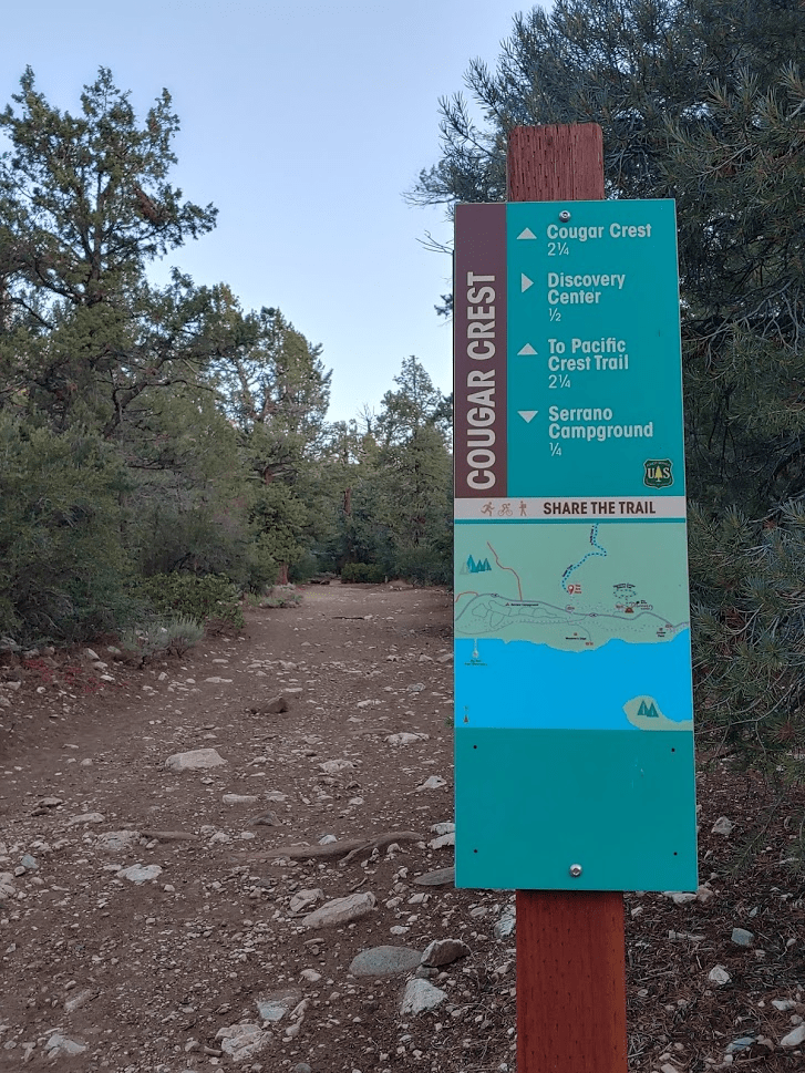
I reached a fork at 0.2 mile. I turned left onto the Cougar Crest Trail.
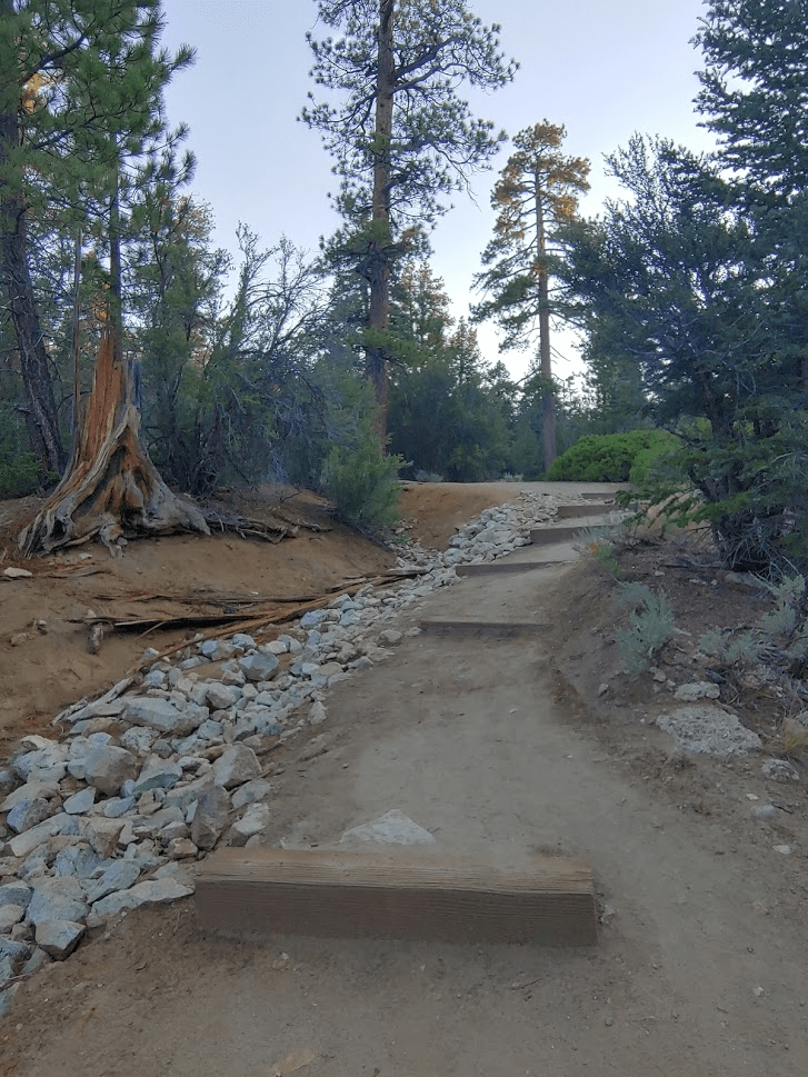
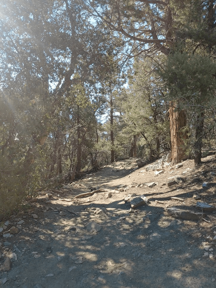
The trail is very well maintained and starts out very wide.
This area has a much different feel than the desert-like Onyx Peak which I climbed the previous day with Alexia and Stella.

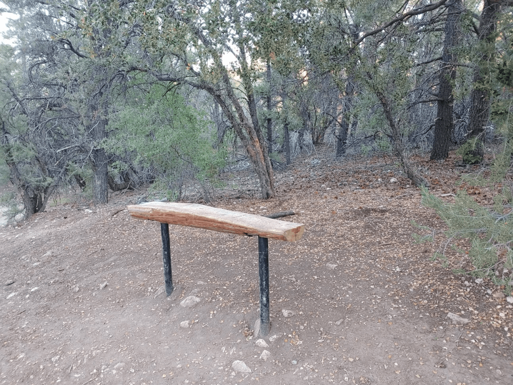
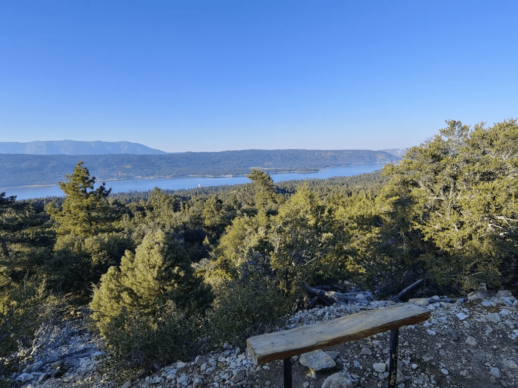
There were a few benches along the trail.
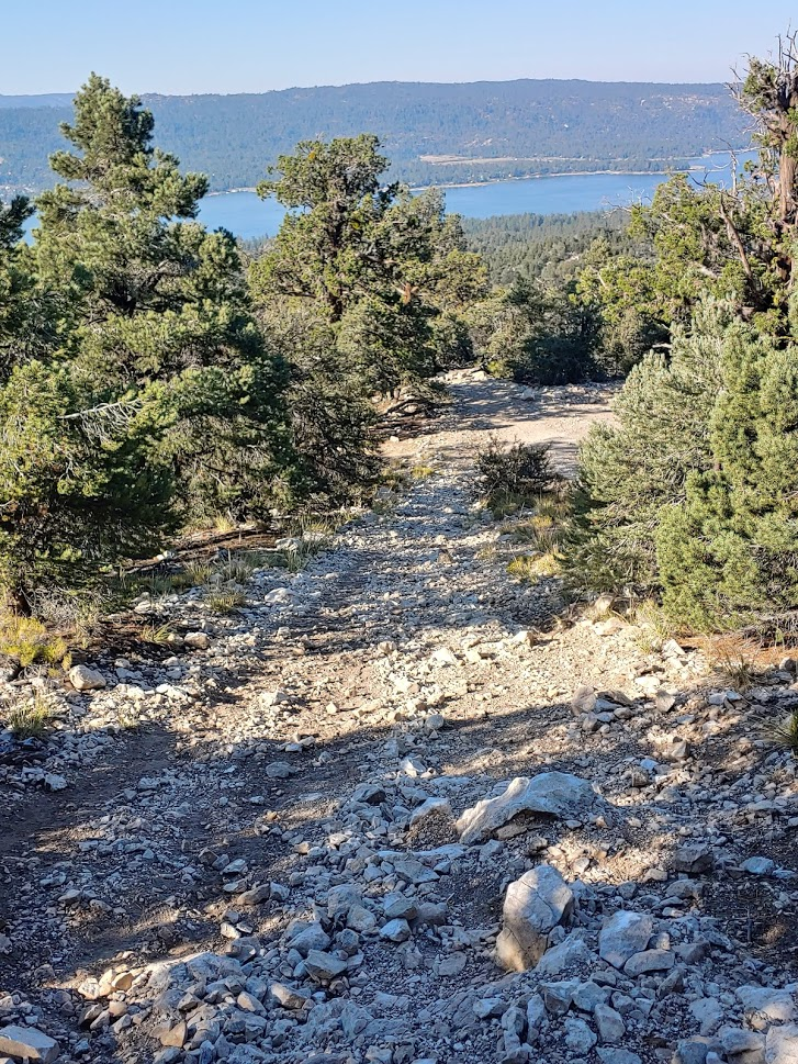
The trail was steeper than the day before but still not too bad.

The views started to open up as I climbed higher.
At 2.6 miles the Cougar Crest Trail ends at a T intersection with the Pacific Crest Trail. Both ways would lead to the road I needed to get to in order to reach Bertha Peak. I decided to make a small loop out of it, so I went north (left) first.

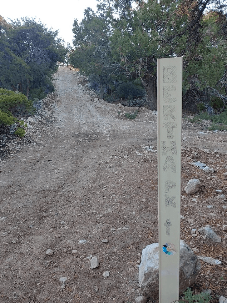
At 2.87 miles I reached the forest road that leads to the top of Bertha Peak. I went east (right).

At 3.1 miles the road crossed the PCT again (this would be my descent route).
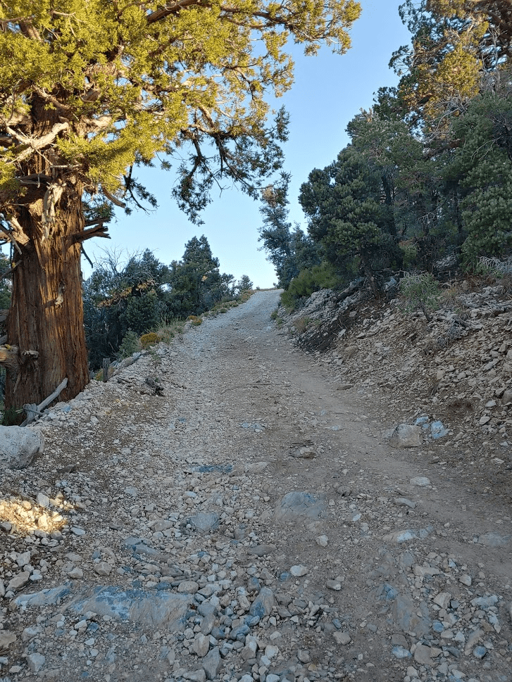
From this point, it’s 0.8 mile to the summit. The road becomes much steeper the rest of the way.
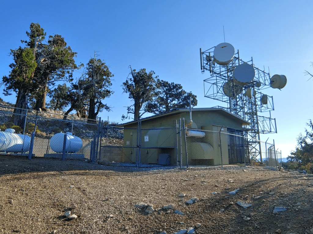
I passed some communications equipment near the summit.
I reached the summit at 7:56am at 3.9 miles!
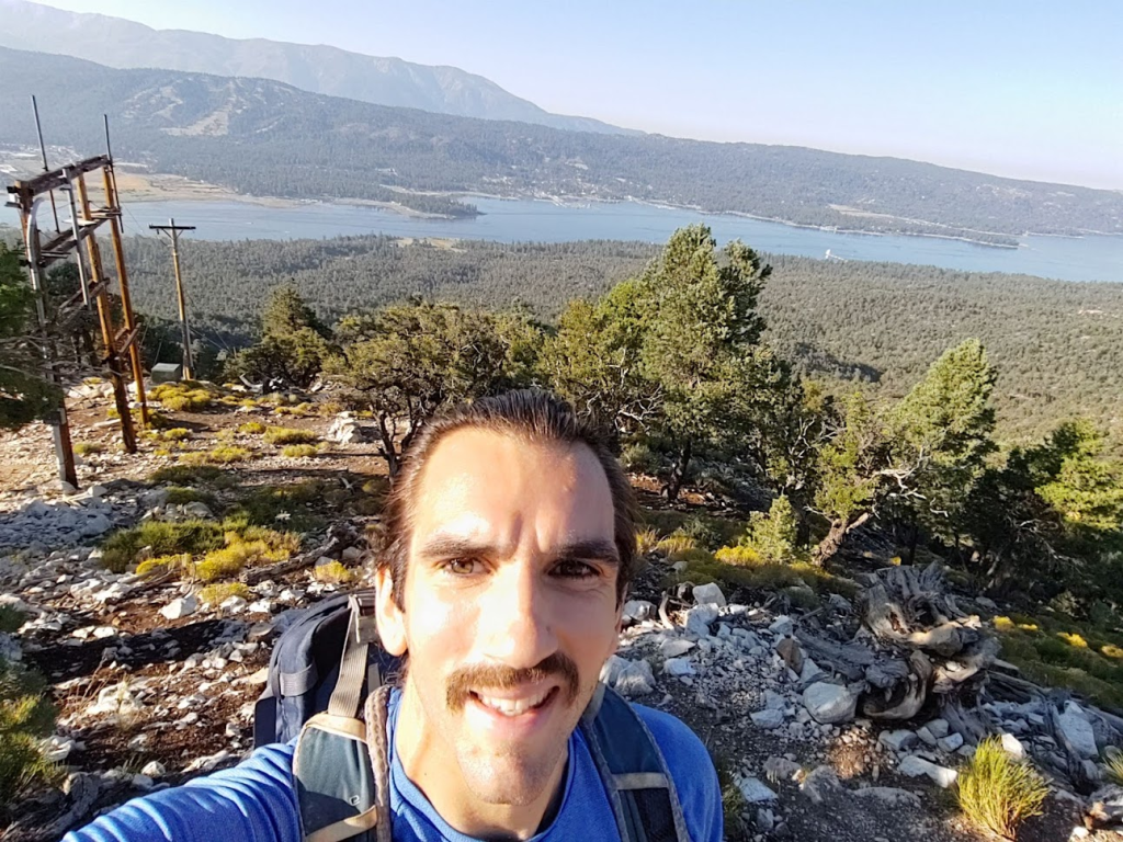
There was one other person on top when I climbed up. There are no survey markers on the summit, and I did not locate a register. It was much less hazy than the day before, so the views were much better.

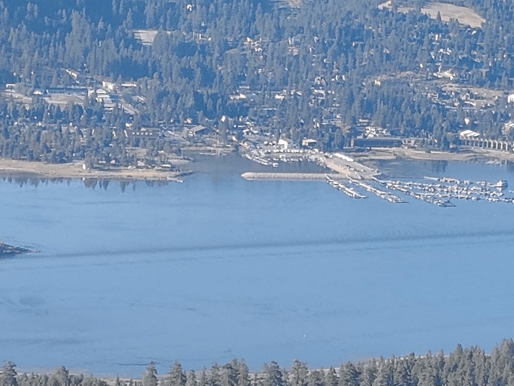
I could see San Gorgonio rising above Big Bear Lake to the south.

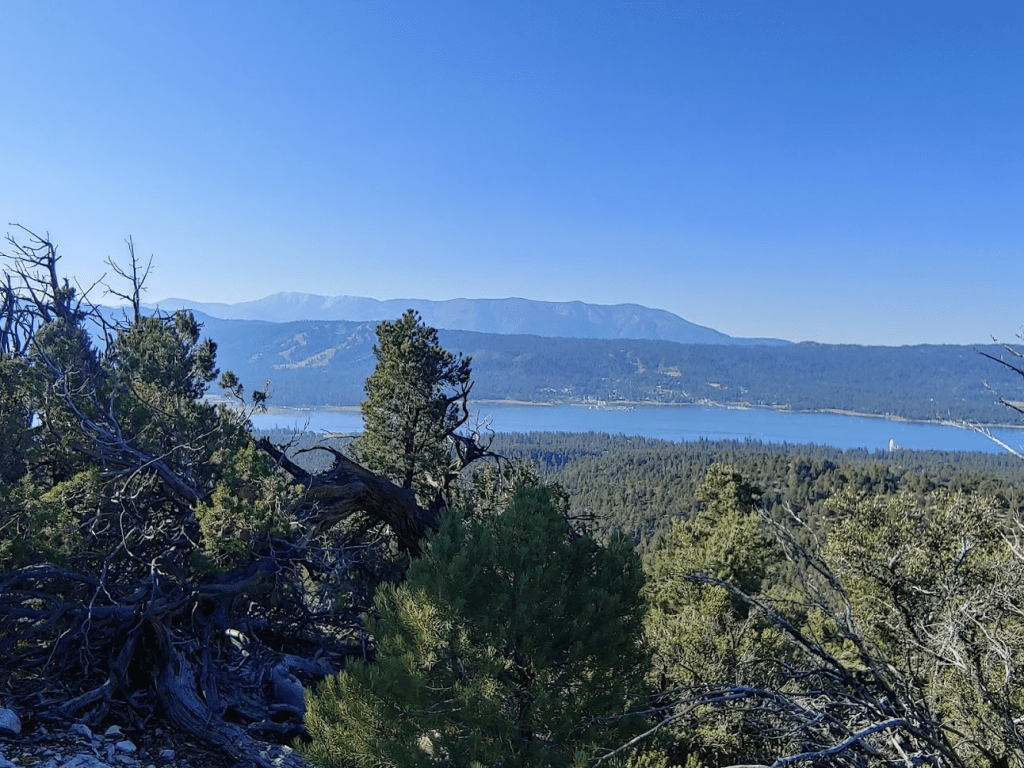
Butler Peak, Grays Peak, and Delamar Mountain were visible to the west.

Sugarloaf Mountain was visible to the southeast.

I could even make out the bay where we kayaked the previous afternoon.
I spent about 15 minutes on the summit before descending.
I turned left onto the PCT the first time the road crosses it (to complete the small loop). At 5.03 miles I left the trail to climb a minor Peakbagger Peak a short way to the north. It was about a 100 foot climb from the trail. The view from this peak wasn’t any different than Bertha.
I quickly climbed back down to the trail and continued the descent. At 5.27 miles I reached the Cougar Crest Trail once more.

From there, I retraced my steps back to the trailhead. It was getting very crowded – I probably passed 20-30 people on my way down. It was also warmer than the previous day, but it wasn’t too bad. The sun was much more intense, so it was probably a good thing I didn’t bring Stella.
I reached the car at 9:36am. This hike totaled 7.93 miles, 1493 feet elevation gain, and 2:57:11 total time.


Alexia, Stella and I enjoyed the rest of our weekend in Big Bear. It really is a beautiful area and we are lucky to live so close!
