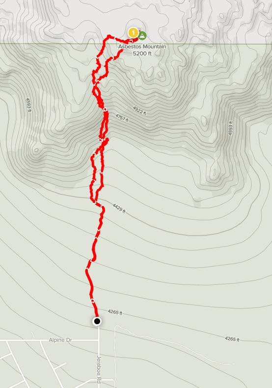
My goal for the day would be 3 peaks on the HPS list: Asbestos Mountain (5265 feet), Lookout Mountain (5590 feet), and Little Cahuilla Mountain (5042 feet). All 3 peaks are in Riverside County south of San Jacinto and the Desert Divide. First up was Asbestos. I hit the road around 5:30am and drove for about 2 hours to the little community of Pinyon Pines. From Highway 74, I turned left onto Pinyon Drive. I went north on this good dirt road until it bends to the west and eventually turned right on Jeraboa Road. I drove north on this road until passing the last house and reaching the national forest boundary. The road continues north but it looked very rough past this point, plus it was a short hike, so I parked here. I started hiking at 7:21am from 4209 feet. There were 2 dogs in the yard at the house nearby that were barking their heads off at me. They barked the whole time I was getting ready and I still heard them for a long time as I hiked away.
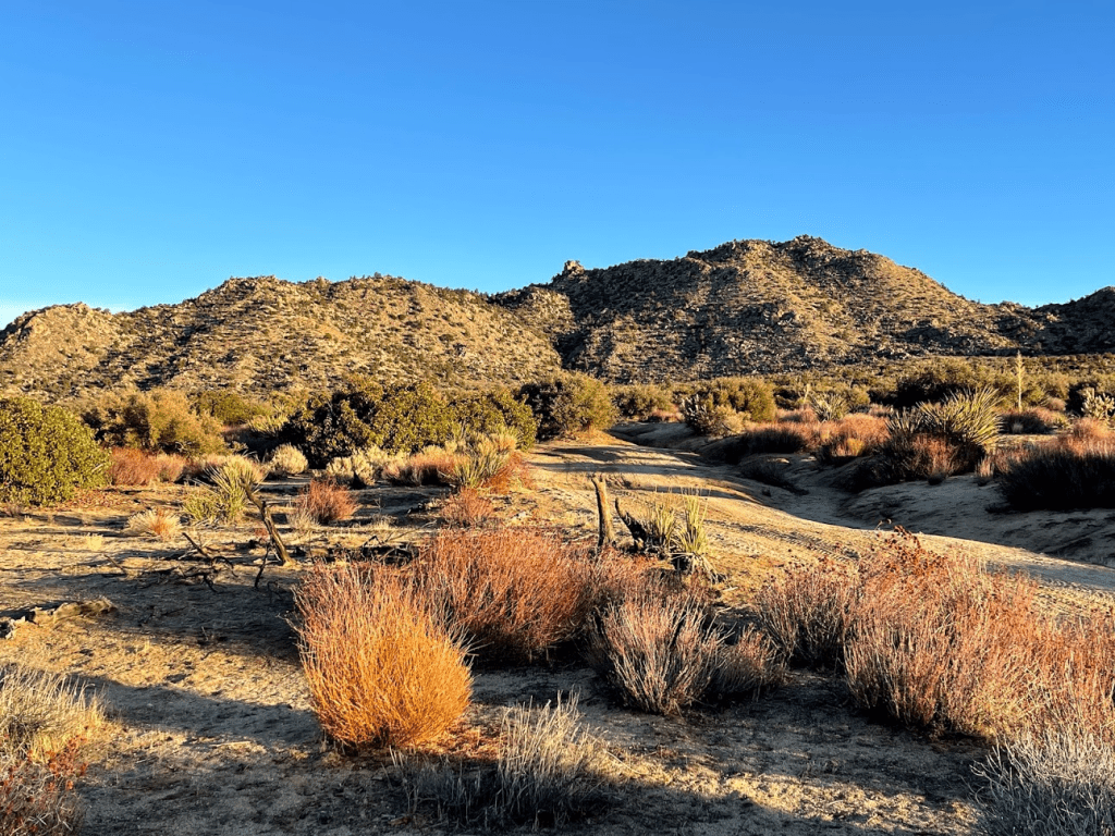
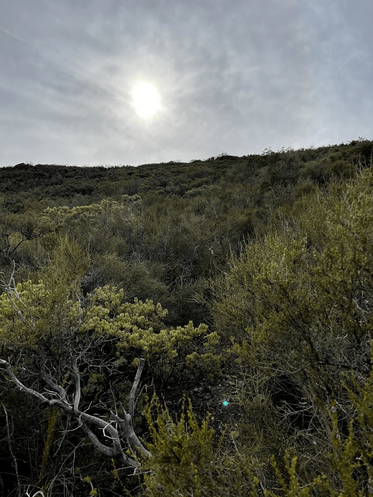
It was 42 degrees as I got started so I bundled up. I hiked north on the road for a half mile until it bent northwest. I left the road here and continued hiking towards the peak. Asbestos Mountain is on the eastern side of the San Jacintos so it was very desert-like compared to nearby peaks.

I reached the base of the peak at 0.8 mile. There was a gully on the side of the mountain, but I chose to begin ascending the slope to the left because the gully appeared to be very brushy compared to the hillside.

I ascended the hillside while dodging pinyon pines, yucca, and various desert shrubs.

I eventually climbed into the gully, but it soon topped out into a flatter area. I proceeded north and then climbed up another rocky slope. The boulders were getting larger which slowed me down.

At 1.3 miles I climbed up a false summit. The true summit was just a short distance further to the north.
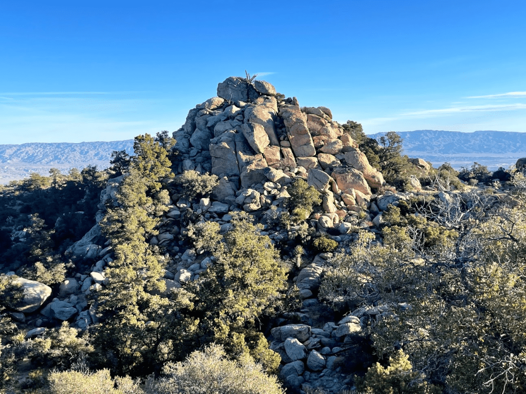
I made the short descent to a small valley between the false summit and real summit. I noticed some cairns here and there but didn’t make much effort to follow them. The terrain wasn’t difficult, so it didn’t really seem necessary. There was some fun class 2 scrambling just below the summit.
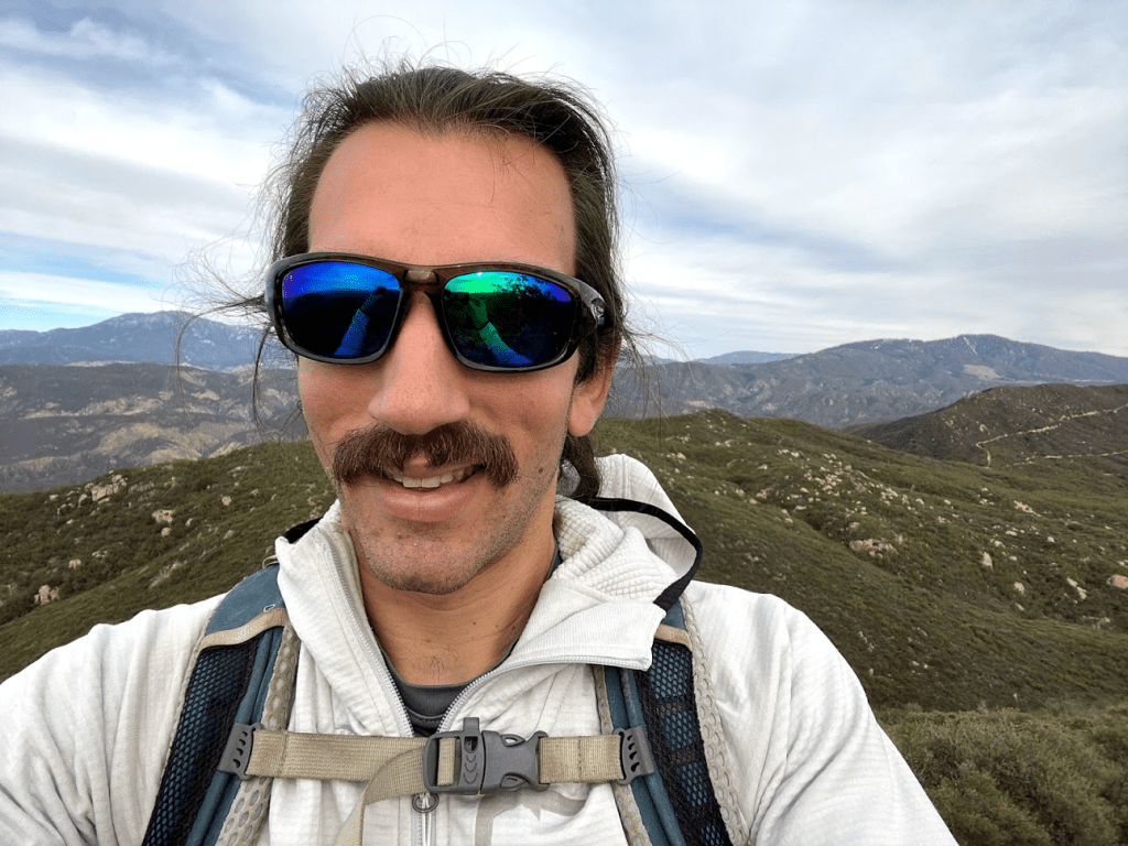
I climbed up the bouldery summit and reached the top at 8:14am at 1.4 miles!
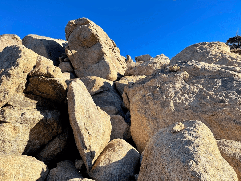
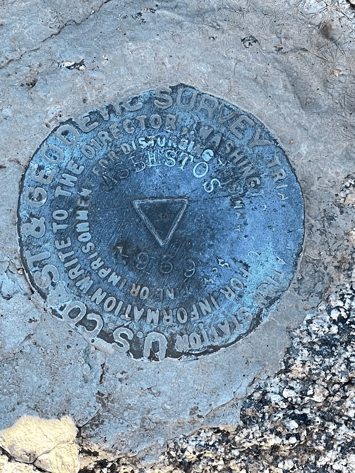
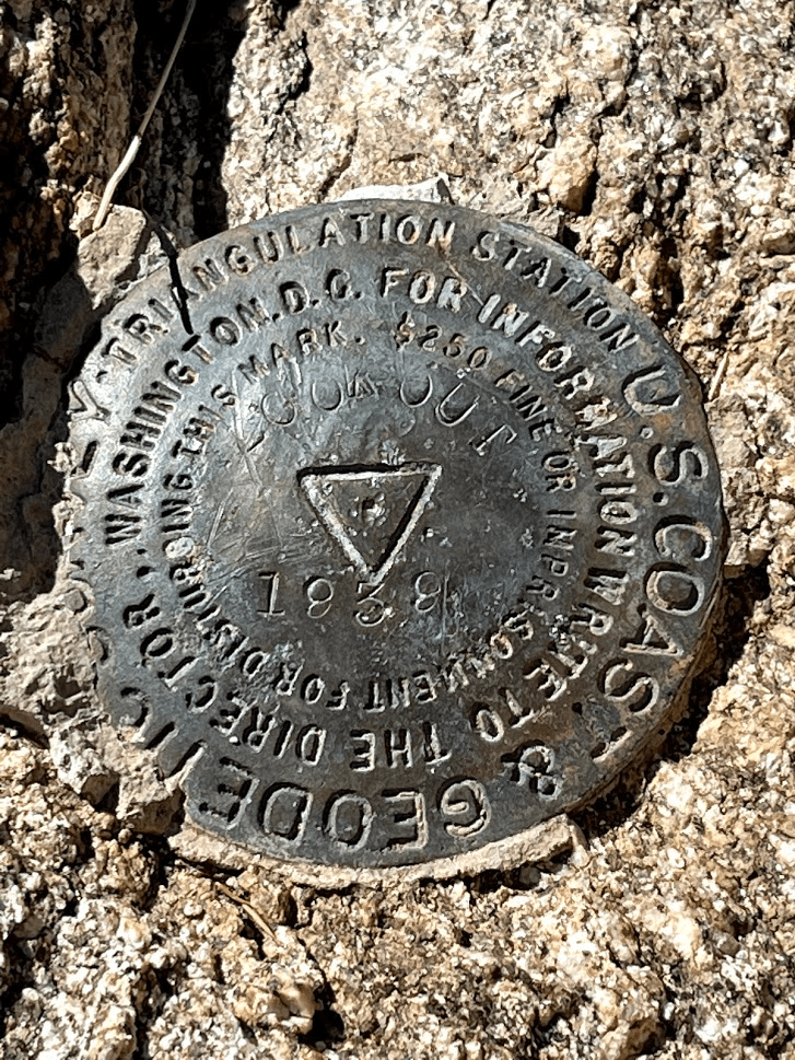
I located the register located in a small rock pile on the highest boulder. There were 4 register books inside. I signed the newest one which dated to 2016. The most recent entry was from January 2nd. I also located the benchmark and 2 reference markers.

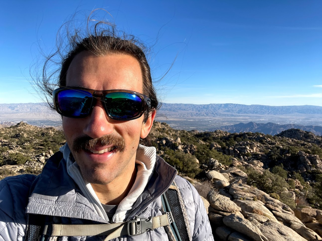
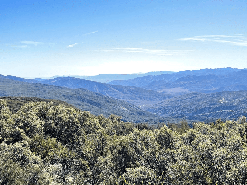
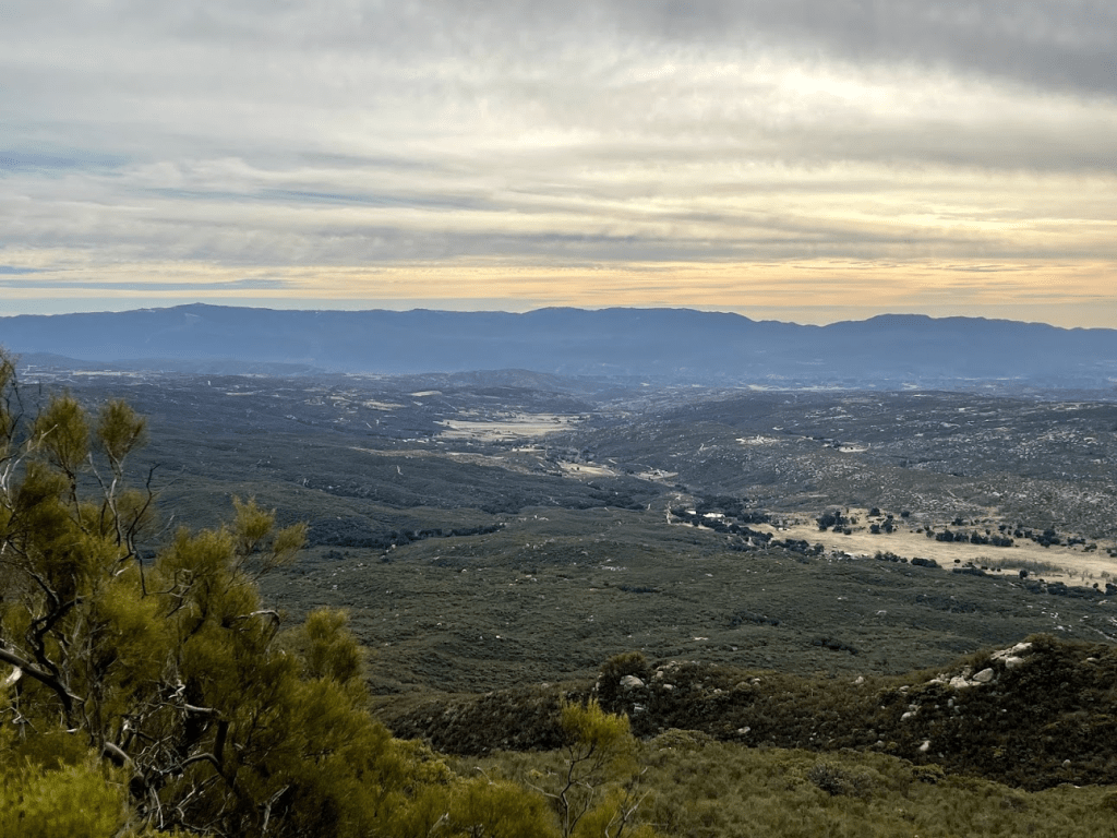
It was another beautiful winter day with exceptionally clear skies. To the north I had a great view of San Jacinto and San Gorgonio.
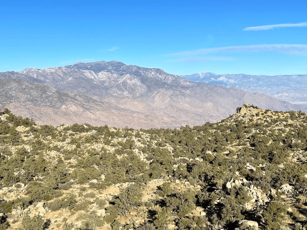
To the south I could see Toro Peak and Santa Rosa Mountain. Snow could clearly be seen on the upper reaches.
To the southwest I could see Martinez Mountain, with the Santa Rosa crest in the distance.
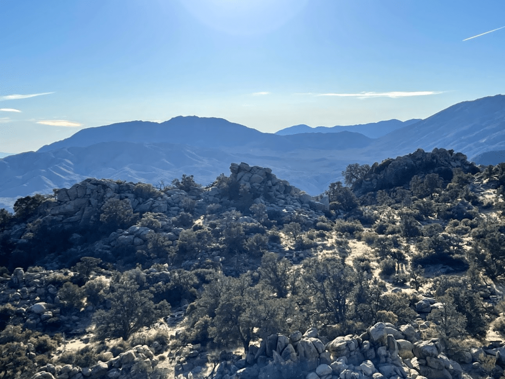
To the east I could see Monument Mountain (left) and Eagle Mountain (right) within Joshua tree National Park.
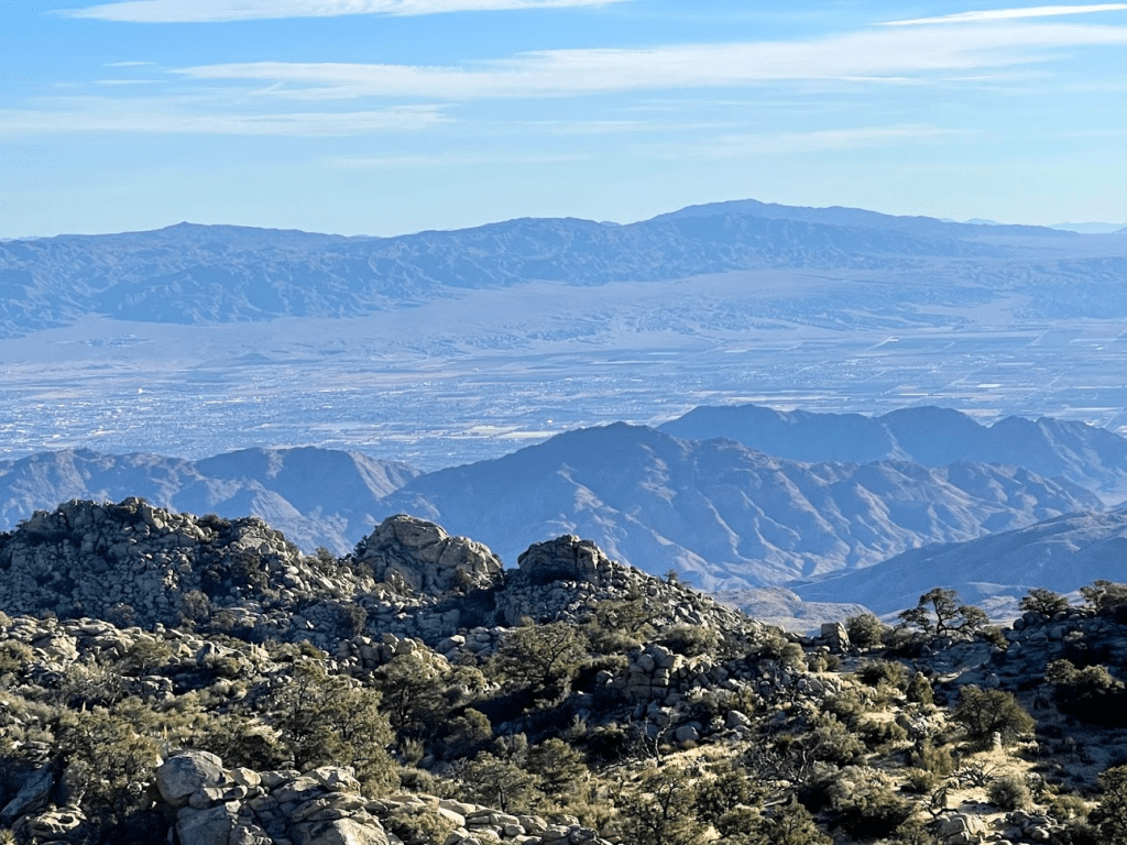
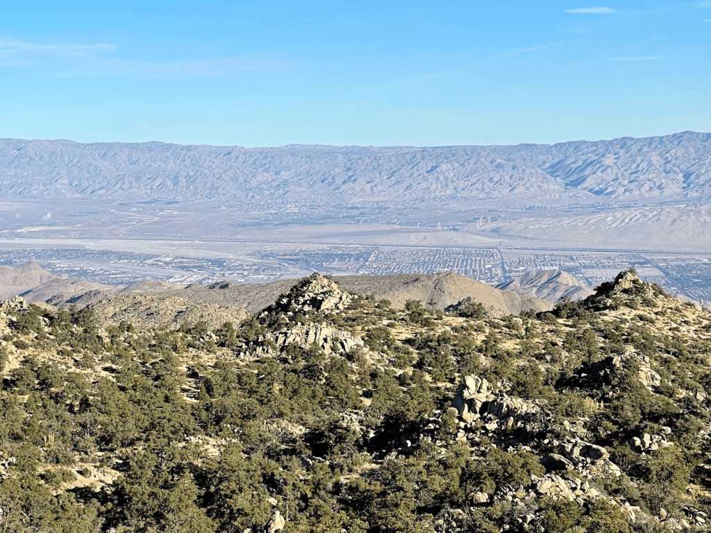
To the northeast I could see Palm Springs and the other cities in the Coachella Valley.
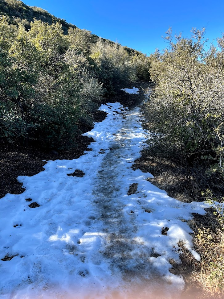
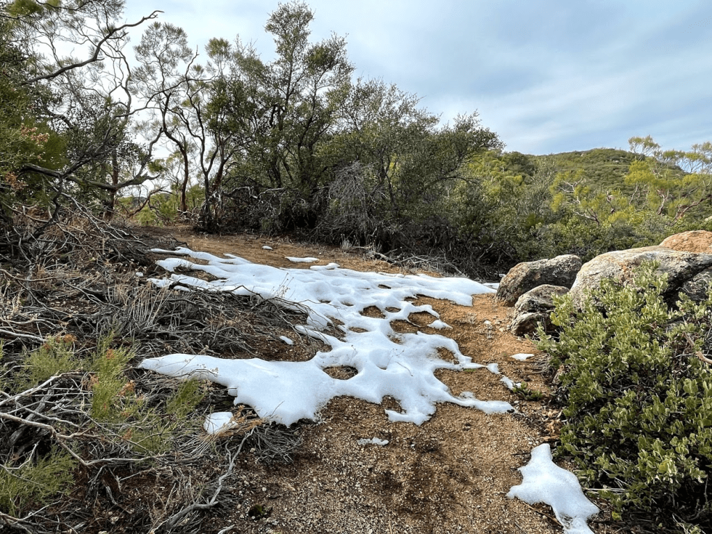
I began the descent after a 20 minute break. This time, I decided to follow the cairned route. Small patches of snow remained in some shaded areas.

The cairned route actually turned out to be pretty nice. It went around the west side of the false summit which I was happy to avoid reclimbing. I then descended the gully I had avoided earlier. The cairns made this easier too.

I reached the base of the peak at 2.1 miles and then the road at 2.3 miles. I heard some voices behind me and actually saw 2 people with a dog about ¼ of the way up the slope behind me. They didn’t really look like hikers, so I figured they were locals just taking the dog out for a morning walk. I reached the car again at 9:21. This hike totaled 2.83 miles, 1001 feet elevation gain, and 2:00:01 total time.

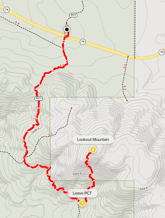
Next up was Lookout Mountain. I drove back to Highway 74 and then went west for about 7 miles until reaching the Pacific Crest Trail. There is a small dirt parking lot on the north side of the highway for hikers. I began this hike at 9:51am from 4931 feet. I crossed to the south side of the highway and went through a gate to get on the PCT.

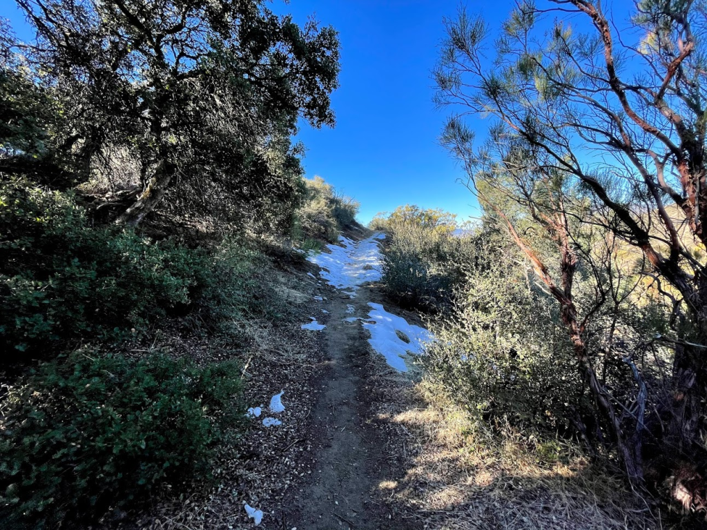
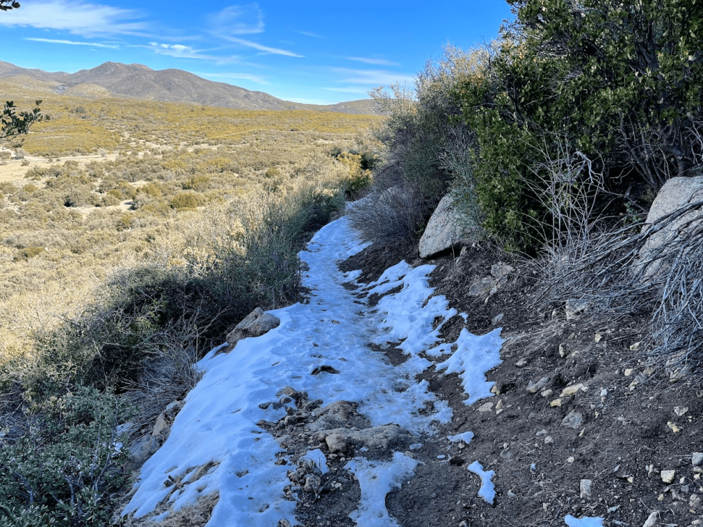
The PCT heads south from the highway towards Lookout Mountain. There was a lot of ice on this portion of the trail.
The trail wound its way around to the western side of the mountain. There was more sun exposure here so much less ice.
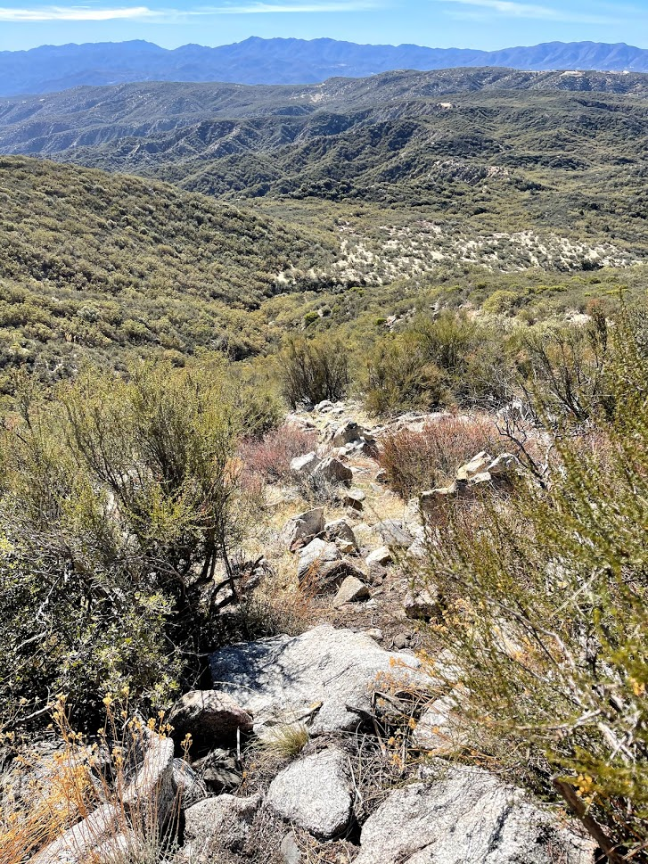
The trail gained a little elevation at the beginning and then made a gradual descent. At 1.6 miles I left the trail to climb north towards the summit. It would be a 700 foot gain in a half mile from this point.
There was actually a pretty well defined use trail that led all the way from the PCT to the summit. The brush wasn’t bad on this side of the peak, so I had very few issues.
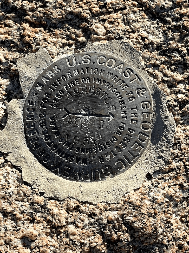
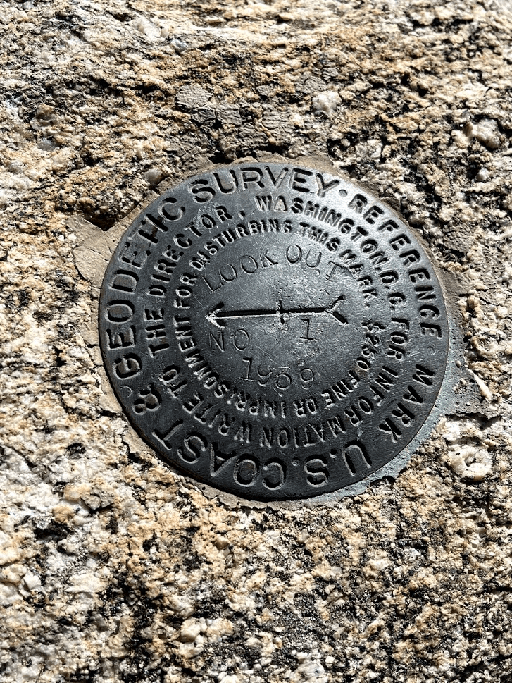
The use trail got steep at times but ultimately was pretty easy. I reached the summit at 10:49am at 2.1 miles! I found the register which dated back to March of 2010. The previous entry was from December 11th. I also located the benchmark and reference marker number 1. I was unable to find number 2.
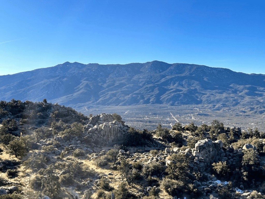
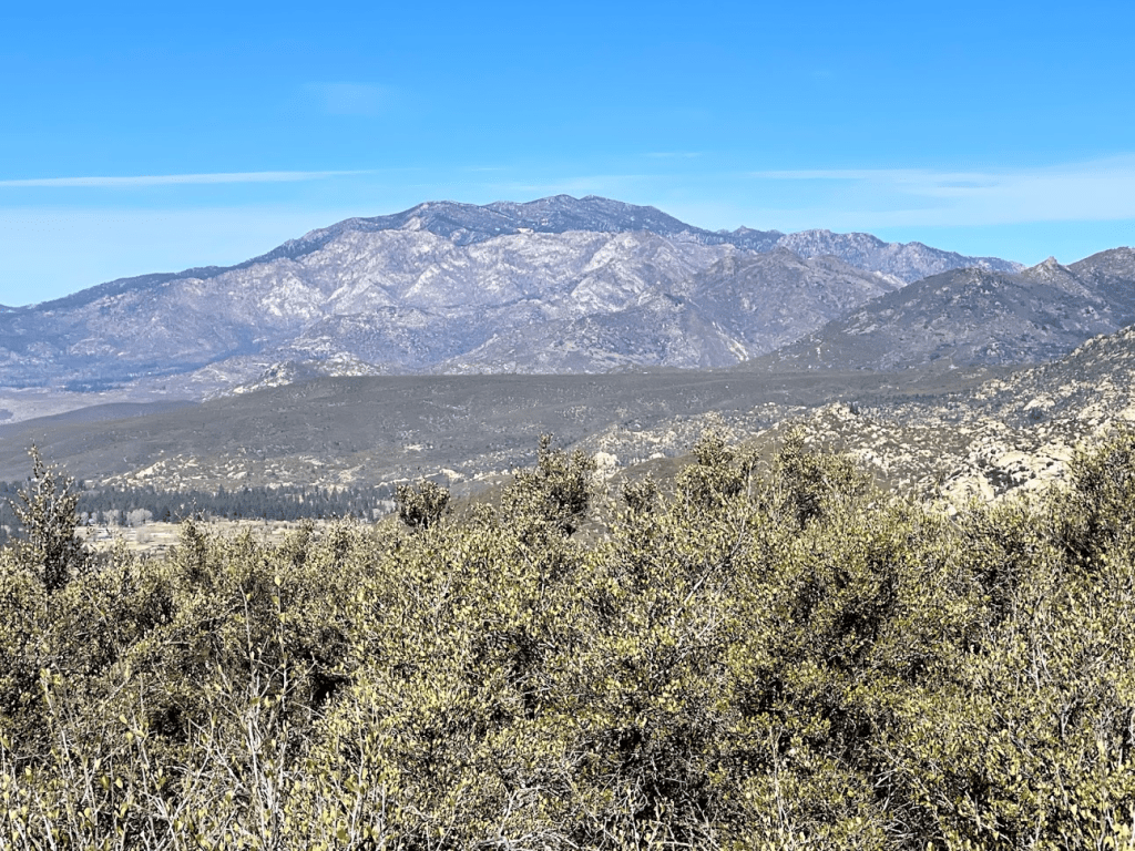
The views were similar to Asbestos. Once again, San Jacinto looked very impressive to the north.
To the west, I could see Cahuilla Mountain (left) and Thomas Mountain (right). Little Cahuilla is the small bump just to the right of Cahuilla.

To the south I could see Combs Peak (right), Hot Springs Mountain (right center), and San Ysidro Mountain (left).
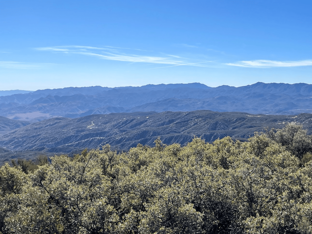
To the southeast I could see many of the peaks within Anza Borrego State Park, including Whale Peak and Sunset Mountain.
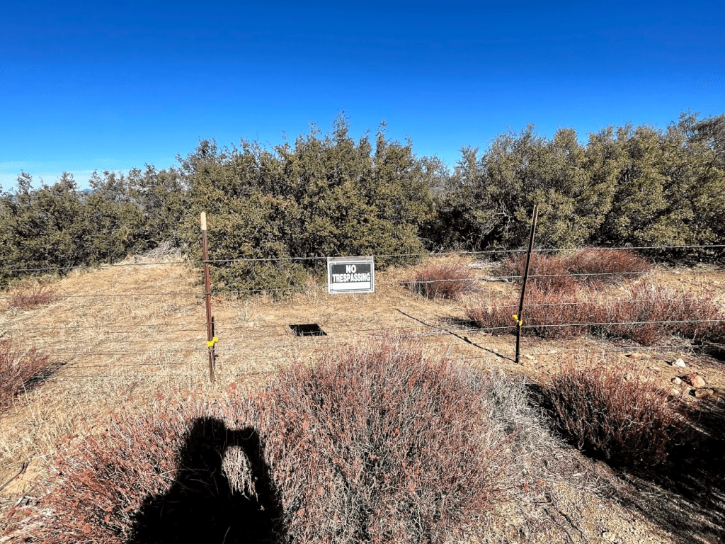
I explored the summit area a bit before descending. It looked like the entire northern half of the mountain was private property.
I made my way back down the use trail to the PCT.
I reached the PCT again at 2.7 miles.
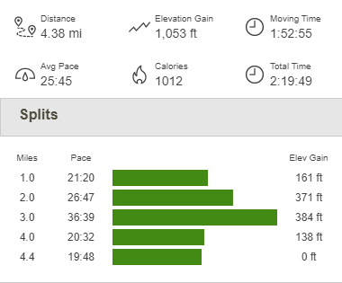
I made it back to the car at 12:11pm. This hike totaled 4.38 miles, 1053 feet elevation gain, and 2:19:49 total time.
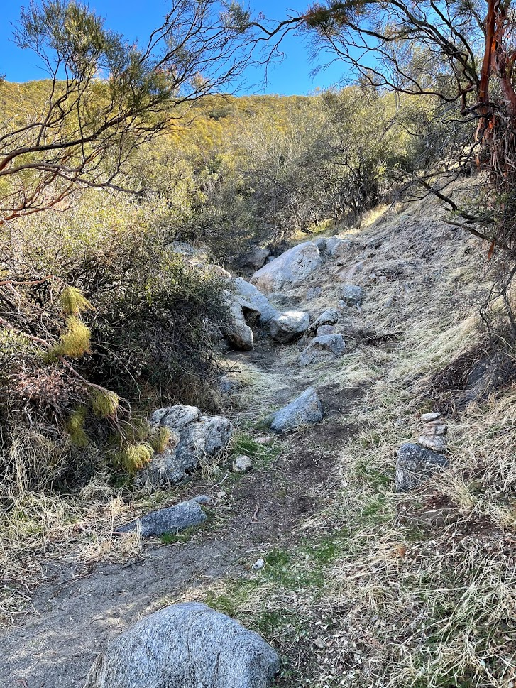
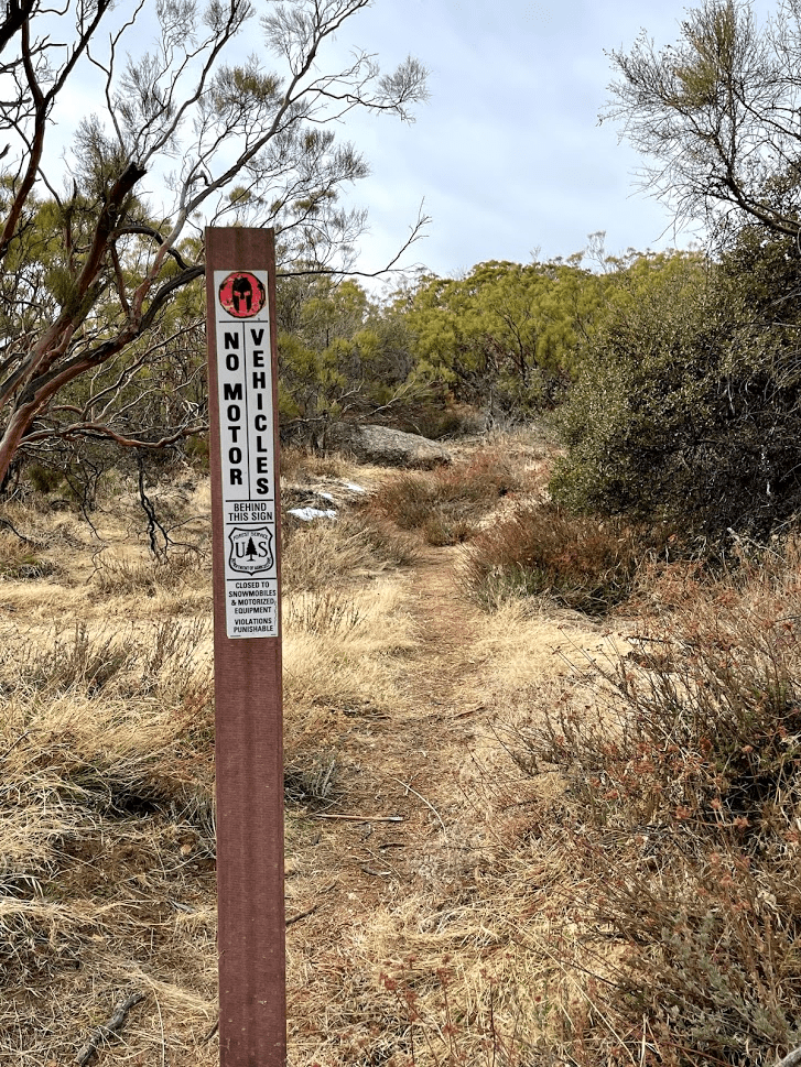
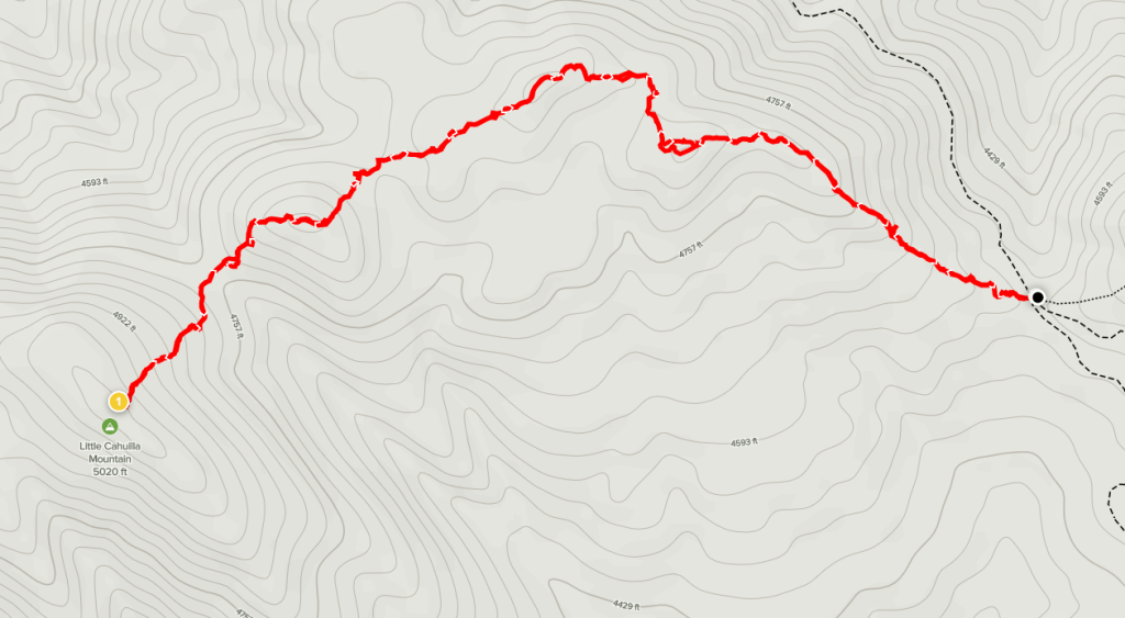
The last peak of the day was Little Cahuilla Mountain. The trailhead for this peak is along the same road as Red Mountain which I had visited a few weeks earlier, so I was familiar with the route to get there. From Highway 371 in the town of Anza, I went north on Cary Road until it turns into Tripps Flat Road. From there I turned west onto Forest Road 6S22 (I’ve seen this referred to as Juan Diego Flats Road on various maps). It is about 4 miles to the trailhead from this point (it’s another 5 miles to get all the way to Red Mountain). The road was a lot muddier than on my previous trip, and there were even a few icy spots. The trailhead lies at a junction with a few motorcycle trails and a private road. I started hiking at 1:11pm from 4553 feet. The trail to Little Cahuilla is marked with a sign prohibiting motor vehicles.
The trail was pretty narrow and the brush was over my head.

The trail starts out heading northwest and then eventually turns southwest. There were a few ups and downs along the way.
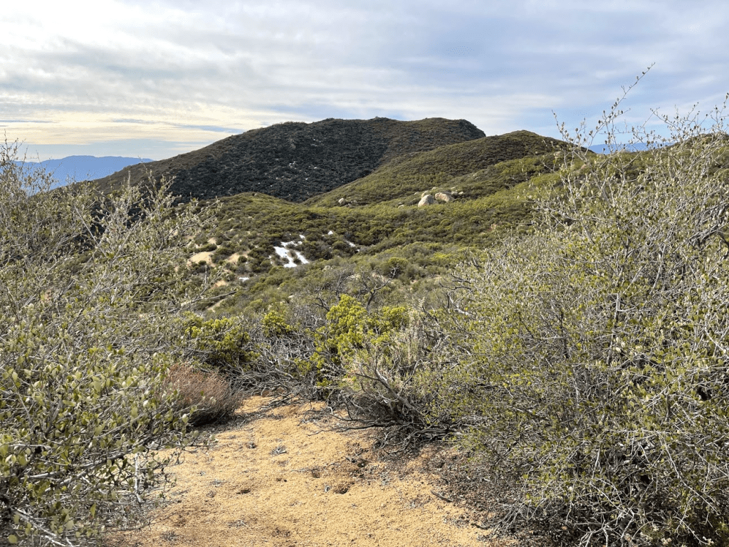
There were a few small snow patches here as well.
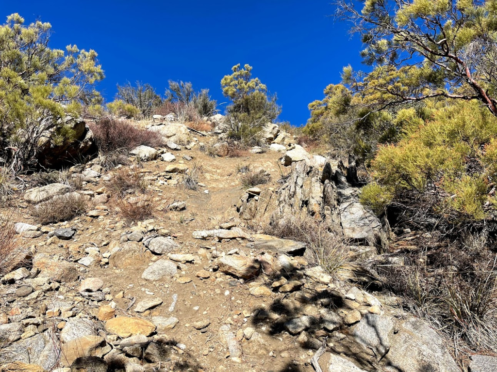
The brush got pretty bad at certain times, but I still managed to stay on the trail without losing it. The final climb to the summit was pretty steep.
The summit consisted of a small rock pile. I climbed up and was on top at 1:52pm at the 1.3 mile mark!
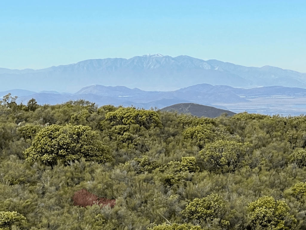
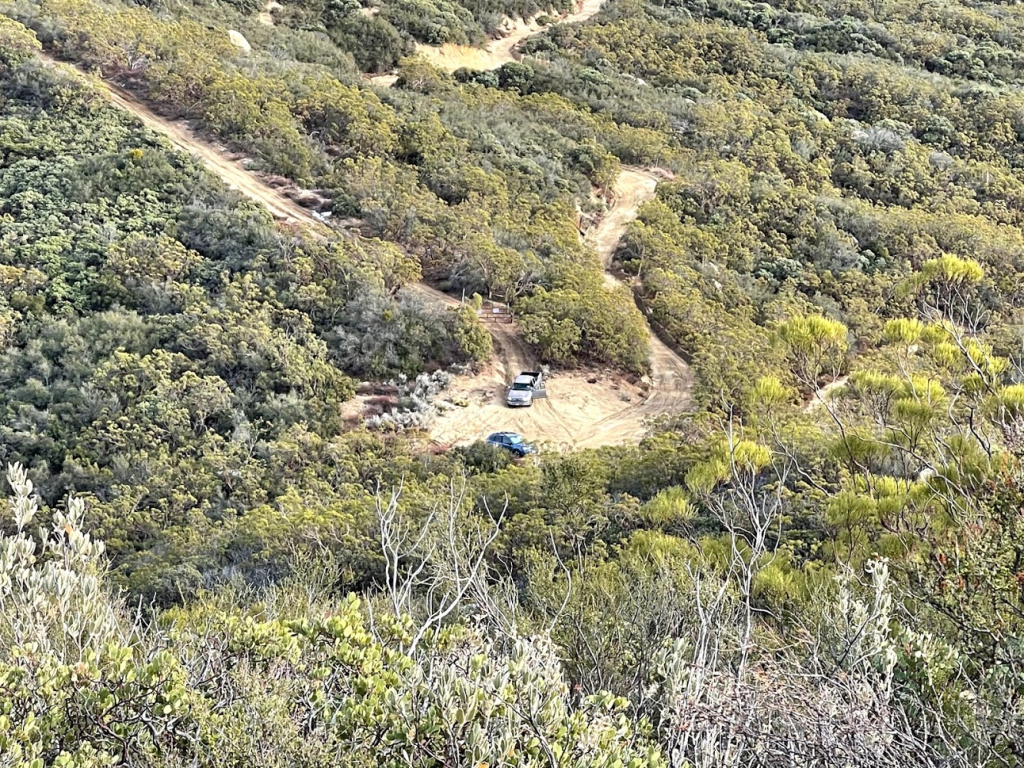
I signed the register which dated to 2016. The previous entry was January 2nd. It had clouded up considerably since the morning, but the views were still very good. To the southeast I could see Toro Peak in the distance. It’s hard to see in the photo but Lookout Mountain can be seen directly below Toro (just looks like a small hill). The forest road I drove in on can be seen cutting across the hill in the foreground.

For the first time all day I could see Mount Baldy in the distance to the north.
I could see the fire lookout and comm towers atop Red Mountain just a few miles away.

To the west I could see the long ridge of Palomar Mountain.
I could even see all the way to the ocean!

I took a longer break since this was my last hike of the day. I began the descent at 2:30pm. I took the same route back which was pretty easy. I could see my car, as well as another truck, from above as I got close to the trailhead.
I reached the car once more at 3:09pm. This hike totaled 2.59 miles, 942 feet elevation gain, and 1:57:03 total time.

When I got back to the trailhead, I looked at the truck to see if anyone was inside so I could wave or say hello. What I found took me completely by surprise – there was a young couple inside vigorously making out. I was pretty shocked, definitely not what I was expecting! Rather than taking my time to pack up, I quickly threw my stuff inside and drove away as quickly as possible.
