Day 1
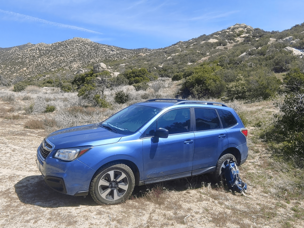
After some stormy weather had changed my hiking plans the day before, things had warmed up nicely, so I was able to head out to the desert for a 2 day adventure in Anza Borrego Desert State Park. I got a later start than I usually do, leaving San Diego around 9:30am Saturday morning. I was thinking some of the higher elevations would have snow from the cold storm that passed through the area Thursday night, so I was planning on just doing a few shorter hikes down in the valley. However, as I drove through Ranchita, I didn’t see any snow in the San Ysidro Mountains, so I decided to hit a few peaks there that I hadn’t done yet from the San Diego 100 peaks list. I was at 81/100 peaks, so there weren’t too many left for me to climb. My plan for the day would be 2 more peaks on the list, the Thimble and Goat Benchmark, as well as another random nearby peak, Hob Benchmark. My starting point would be at the north end of the small community of Ranchita. Driving east on Montezuma Valley Road (Hwy S22), I turned left (north) onto a dirt road called Via Oak Grove Lane. The road starts off smooth but eventually gets pretty rutted. After a mile or so I turned left onto Landmark Road, right onto Lease Road, and then another right. After a short way, the road forks, with a sign indicating public land to the left and private property to the right. I went left for a short way and parked. High clearance recommended.
My first objective would be the Thimble (5779 feet). I had actually attempted The Thimble a year earlier on a hike where I climbed San Ysidro Mountain, White Benchmark, and Bonny Benchmark. I was just below the summit on some class 3 terrain, but I turned around due to snow and ice. I hoped to find an easier route this time. I started by hiking northeast down the road. It was 11:45am when I got started from about 4500 ft.
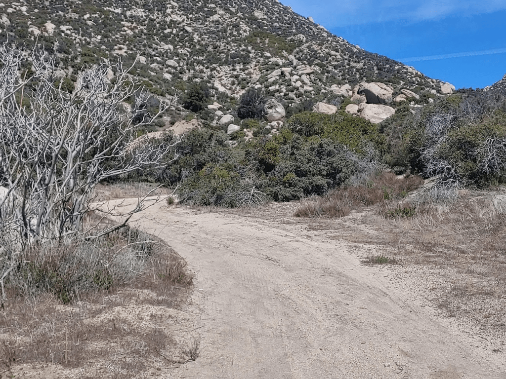
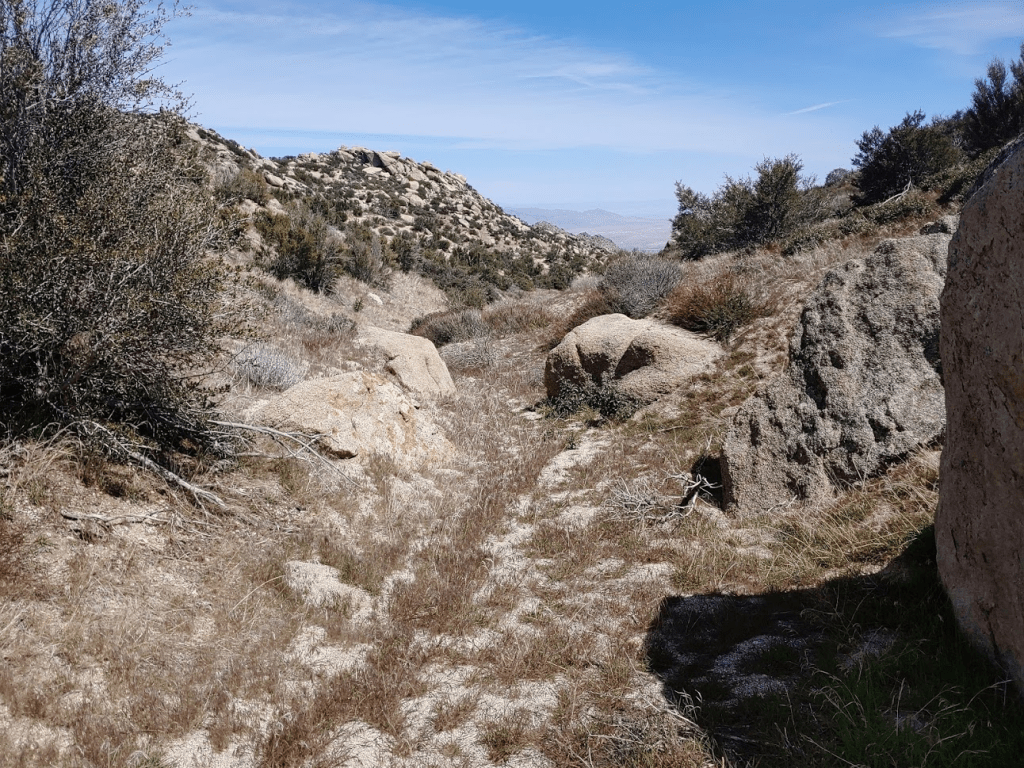
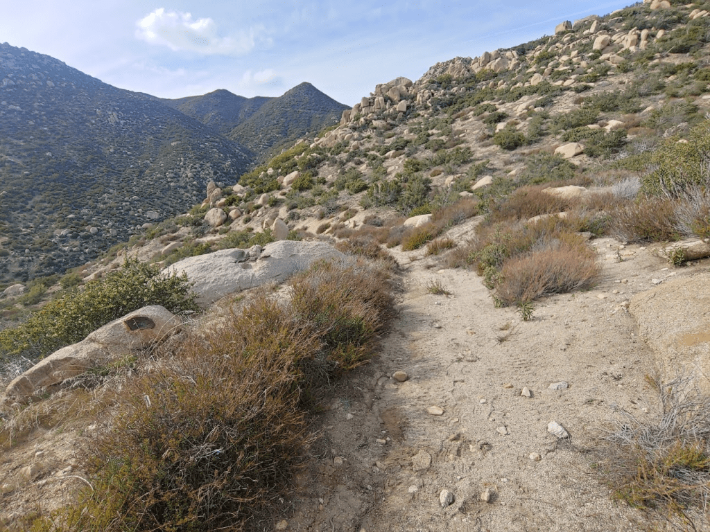
The road soon deteriorated into a single track trail. The weather nice enough that I was comfortable in short sleeves.
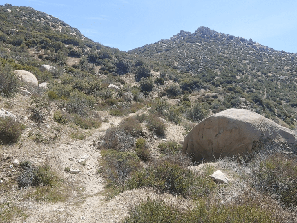
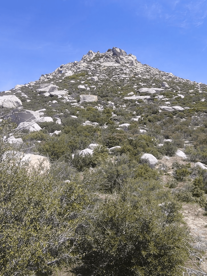
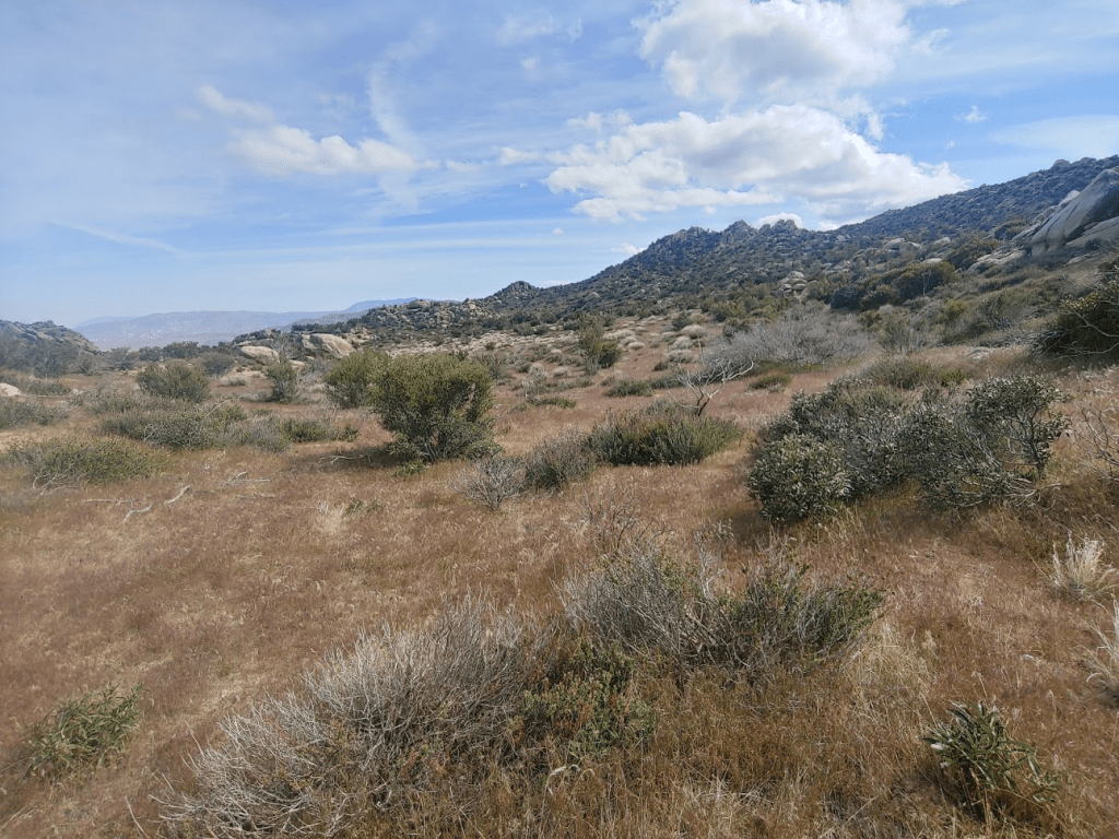
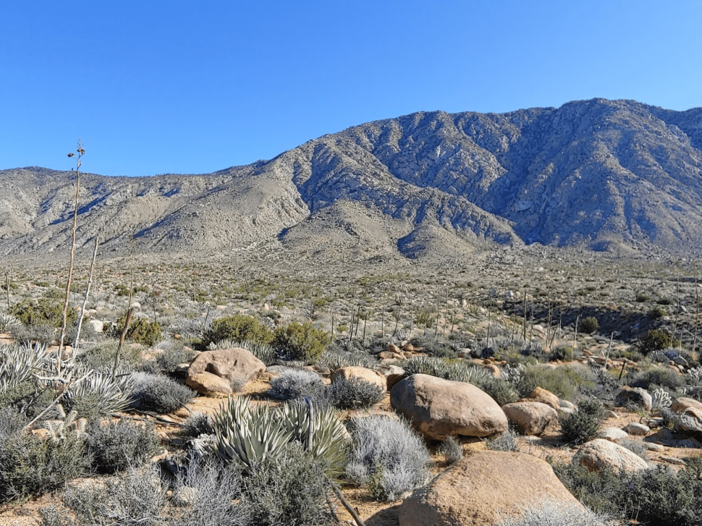
I followed the trail for about a mile as it turns east. I got my first view of the Thimble.
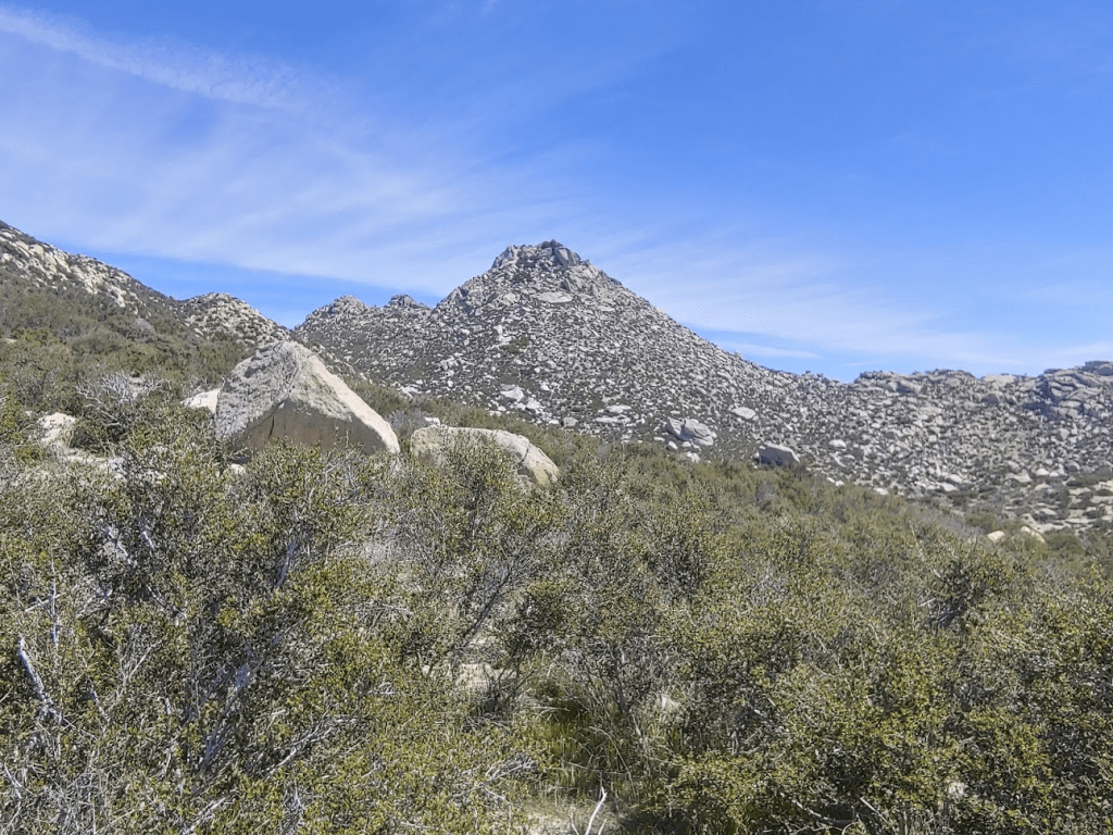
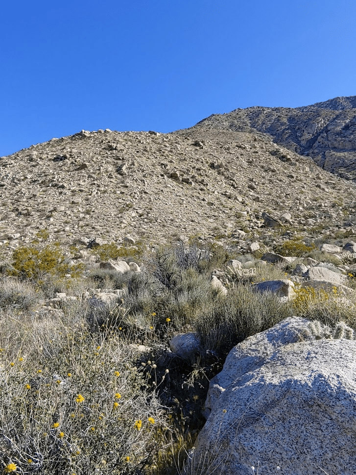
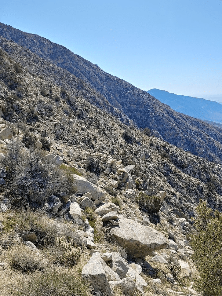
I soon arrived at the base of The Thimble. It would be a 700 foot climb in 0.35 mile.
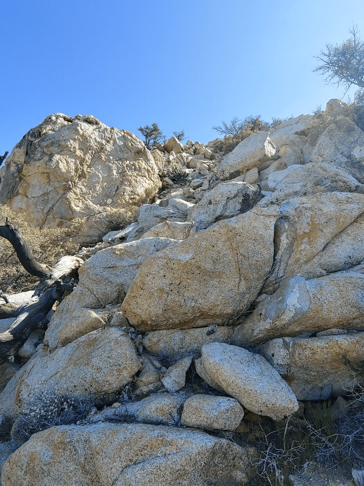
It was very steep.
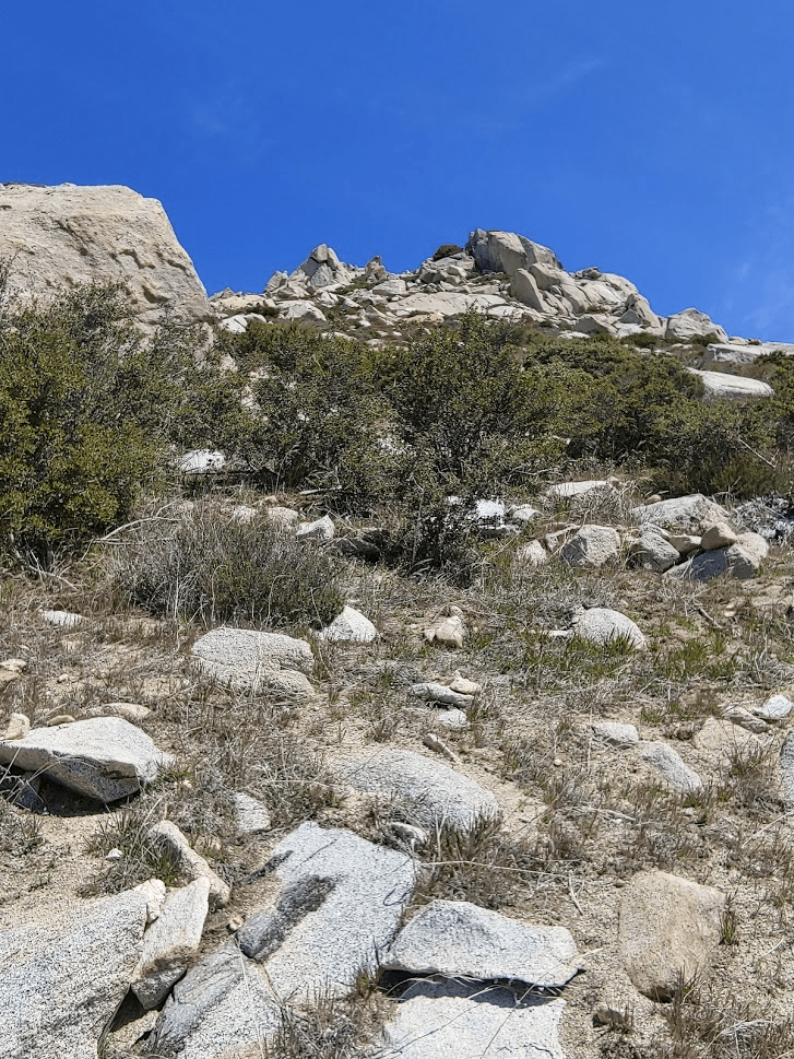
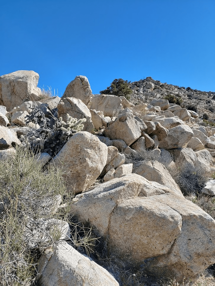
It got very brushy towards the top. There are some large boulders near the summit that make it tough to find a route. Approaching from the southwest, I was able to get through by hugging a large boulder to squeeze by some thick brush. This kept the whole route class 2. I was on top at 12:38pm. Just 1.72 miles so far.
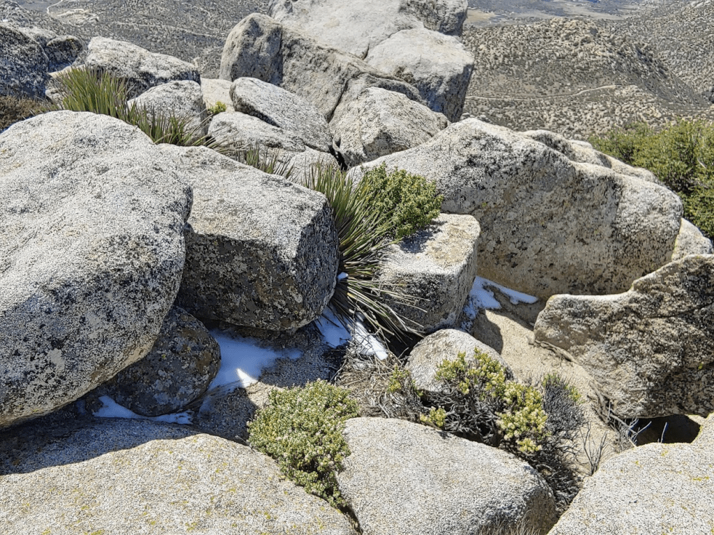
There are no USGS markers on top, but I found the register, which I signed. The register had just been placed February 1st, and there were only a handful of signatures. I noticed some small patches of snow.
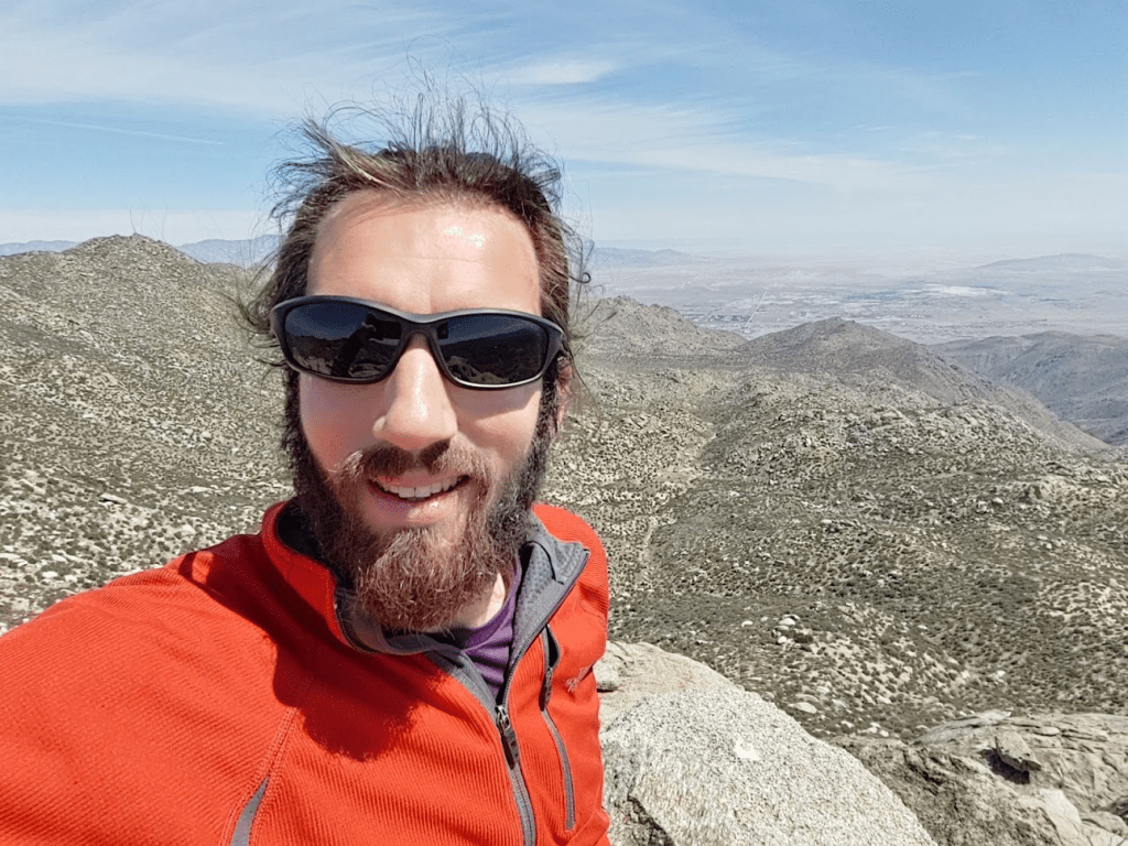
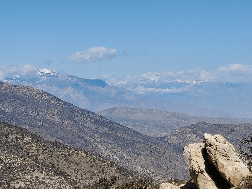
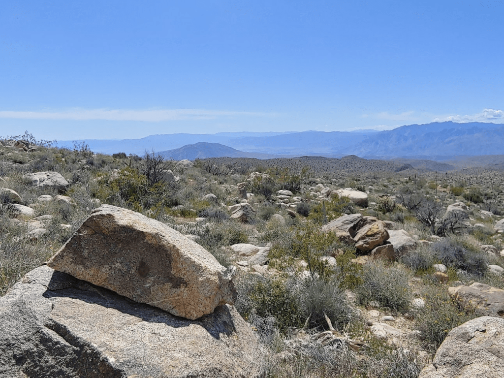
I had a nice view across Montezuma Valley towards the Cuyamaca Mountains.
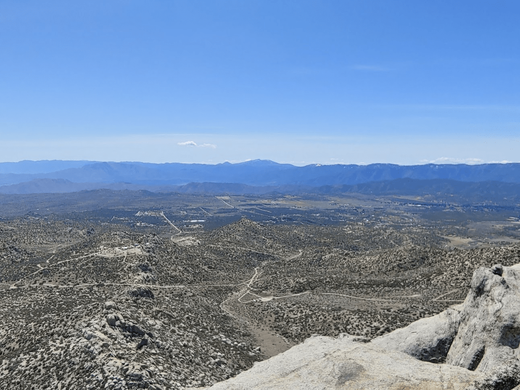
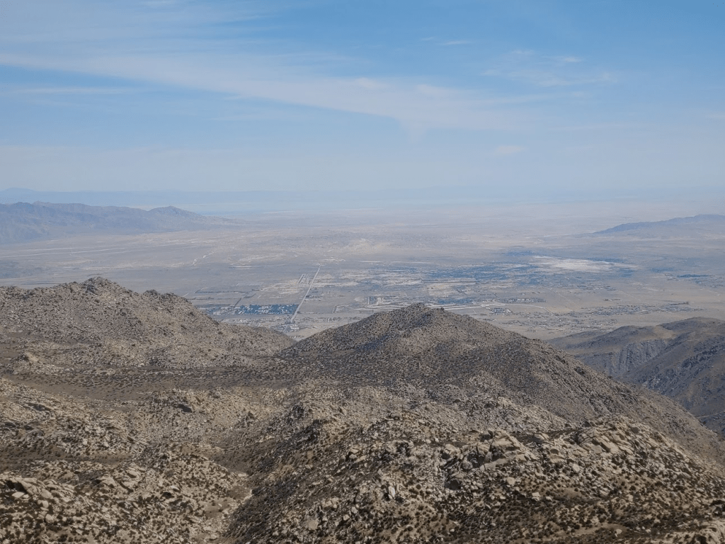
I also had a great view down into the Borrego Valley.
San Ysidro Mountain, the 2nd highest peak in Anza Borrego at 6147 feet, was just a mile or so to the north.
Next up was Goat Benchmark. I came off the summit the same way I ascended, once more hugging the large boulder to get around the brush. After descending about 100 feet, I started heading east around the south side of the Thimble. The large boulders made this tricky.
I made my way east through some rolling terrain. Goat Benchmark (4240 feet) is quite a bit lower than the Thimble, so it was a stretch of downhill.
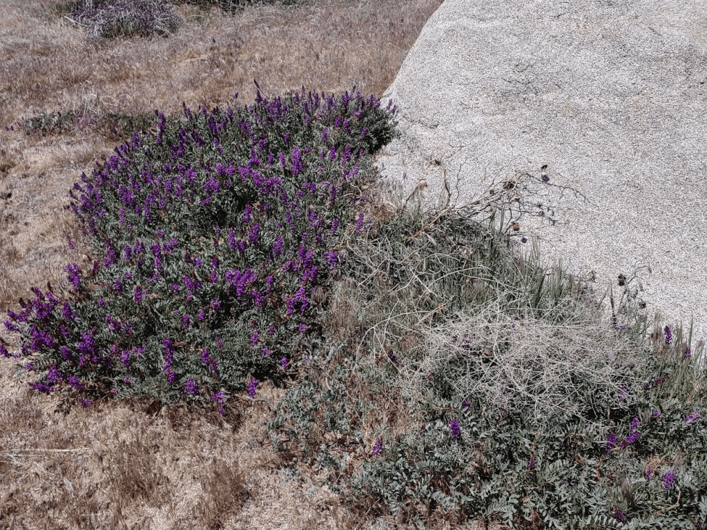
I noticed some pretty purple flowers in bloom.
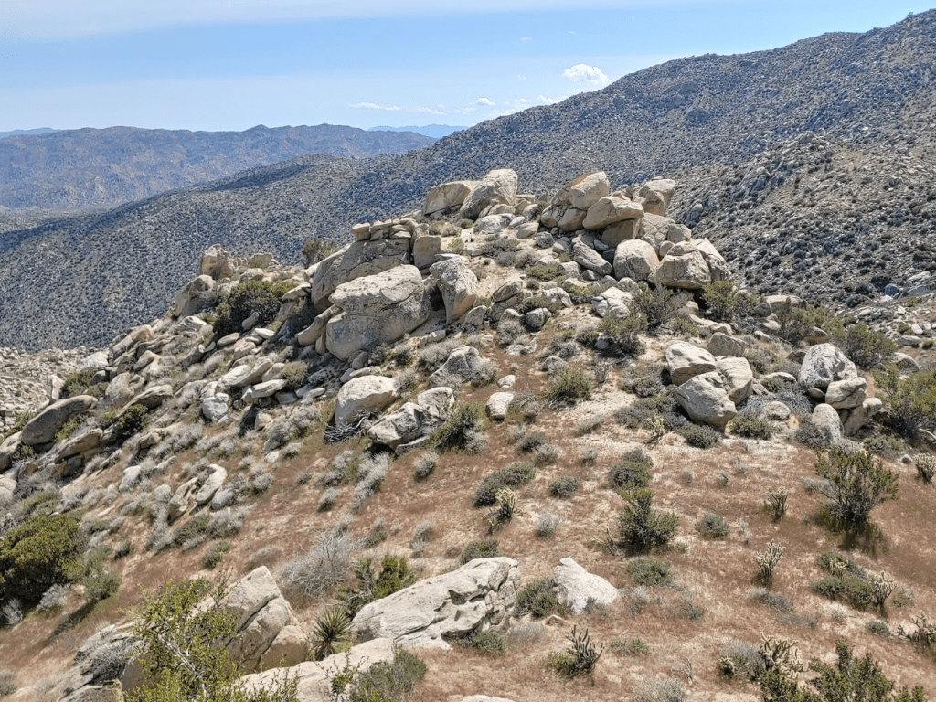
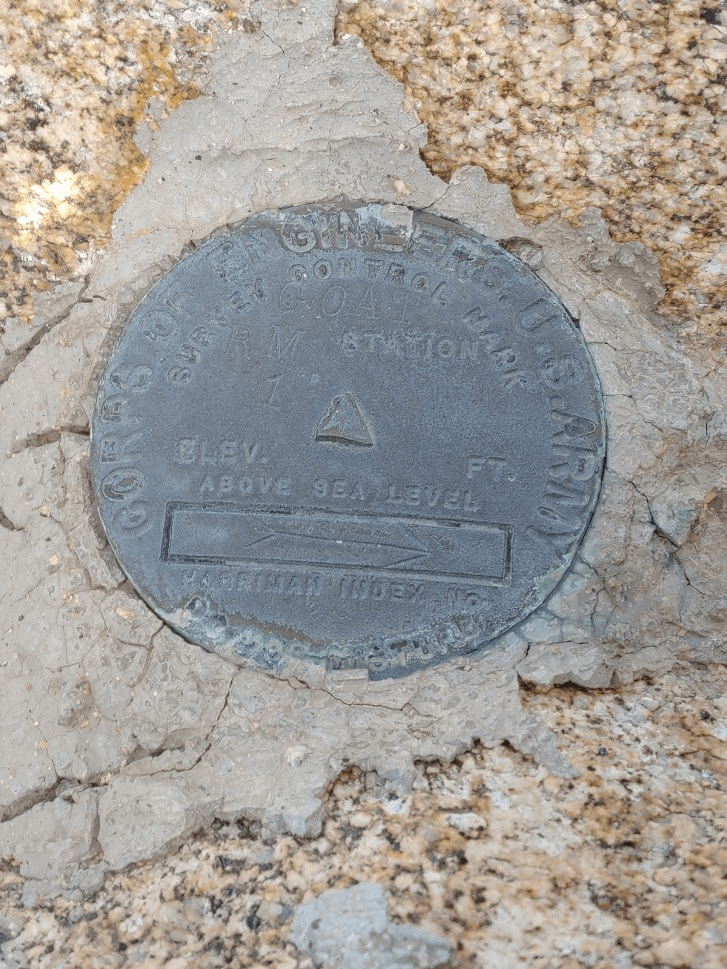
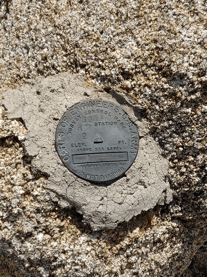
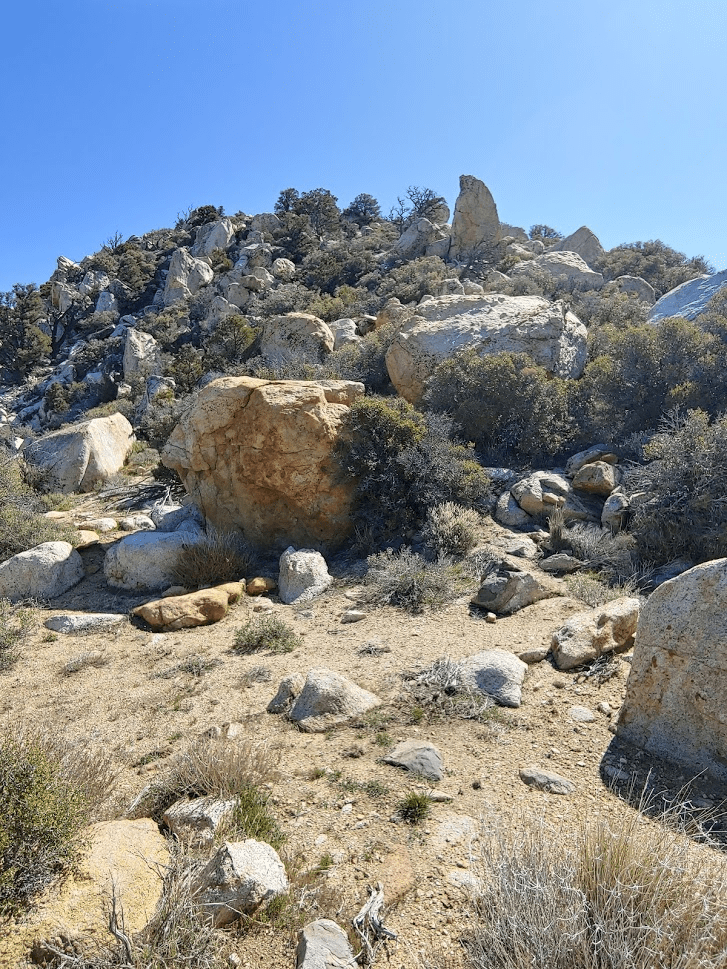
Eventually I turned south and approached Goat Benchmark. I’m not sure how this made the cut on the San Diego 100 Peaks list. It is quite literally just a pile of rocks with no prominence. It would be impossible to locate without GPS since it is surrounded by dozens of other similar piles of rocks.
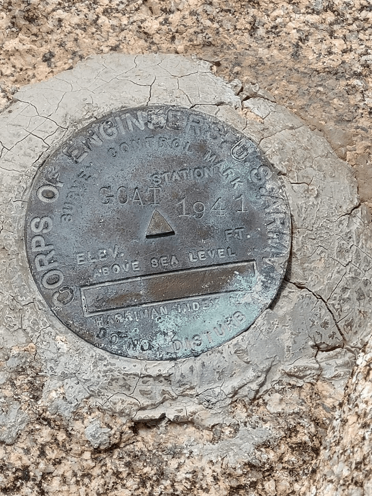
I made it to Goat at 1:51pm after 3.5 miles. I located the benchmark and 2 reference markers.
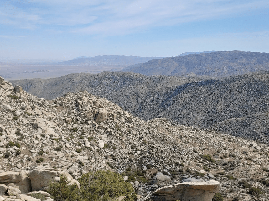
The views here were nothing special. I could see the upper reaches of Hellhole Canyon.
I took a short break to eat some snacks and then continued my hike. I backtracked the way I came for a short distance and then continued north towards Hob Benchmark.
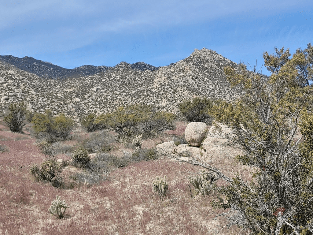
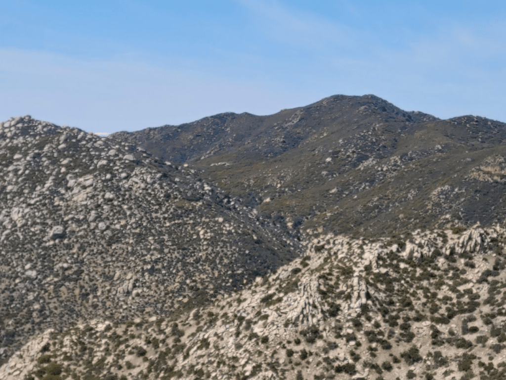
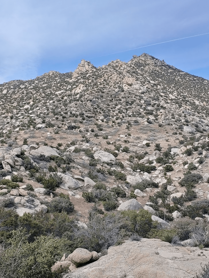
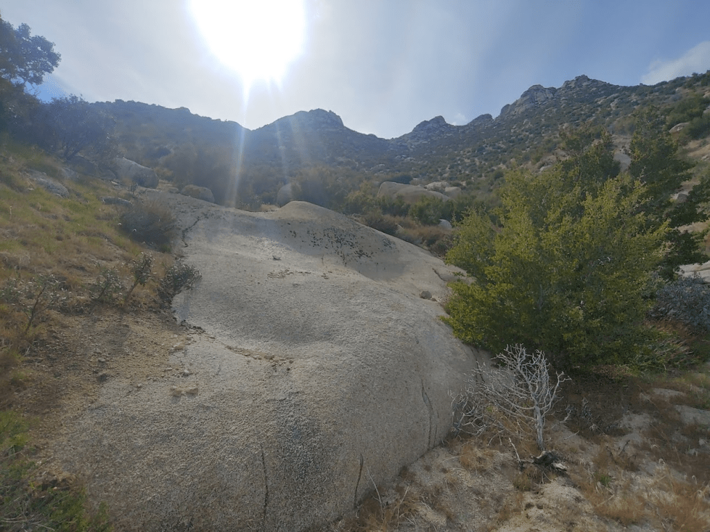
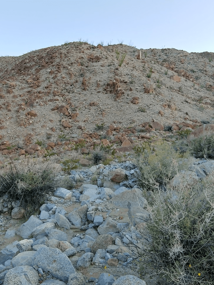
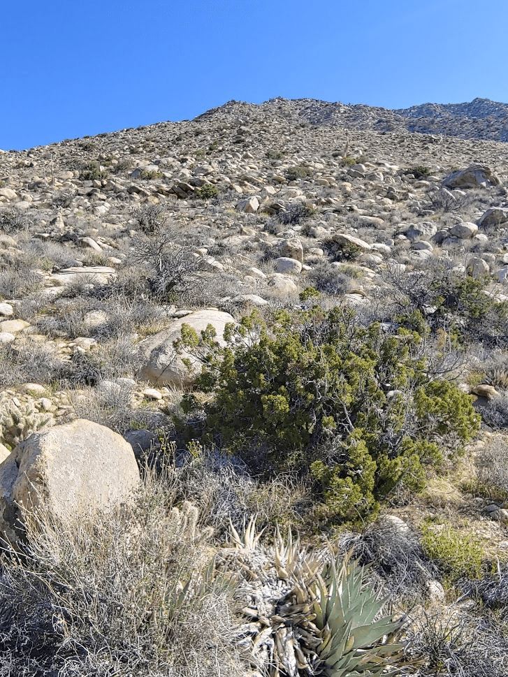
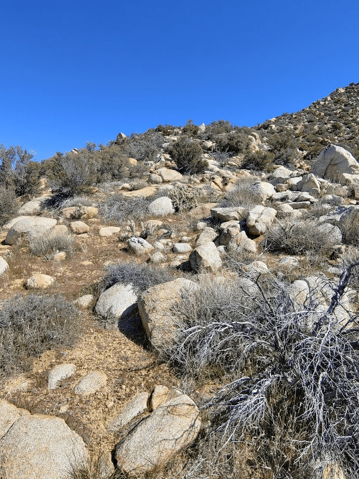
Hob Benchmark (4853 feet) is a few hundred feet higher than Goat. I started climbing up a rocky slope. Hob is part way up the slope pictured below. One could continue climbing to Middle Ysidro in this direction.
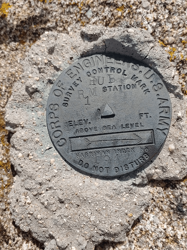
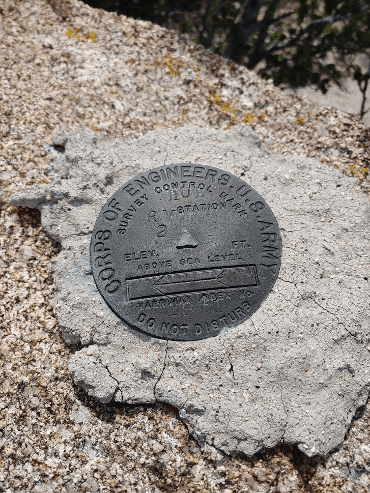
At 2:48pm I reached Hob Benchmark. It was 4.68 miles to reach this point. I didn’t find the benchmark (which I expected), but I did locate 2 reference markers. Interestingly, they are marked “Hub” instead of Hob.
The views here were better than Goat, but not as good as The Thimble.
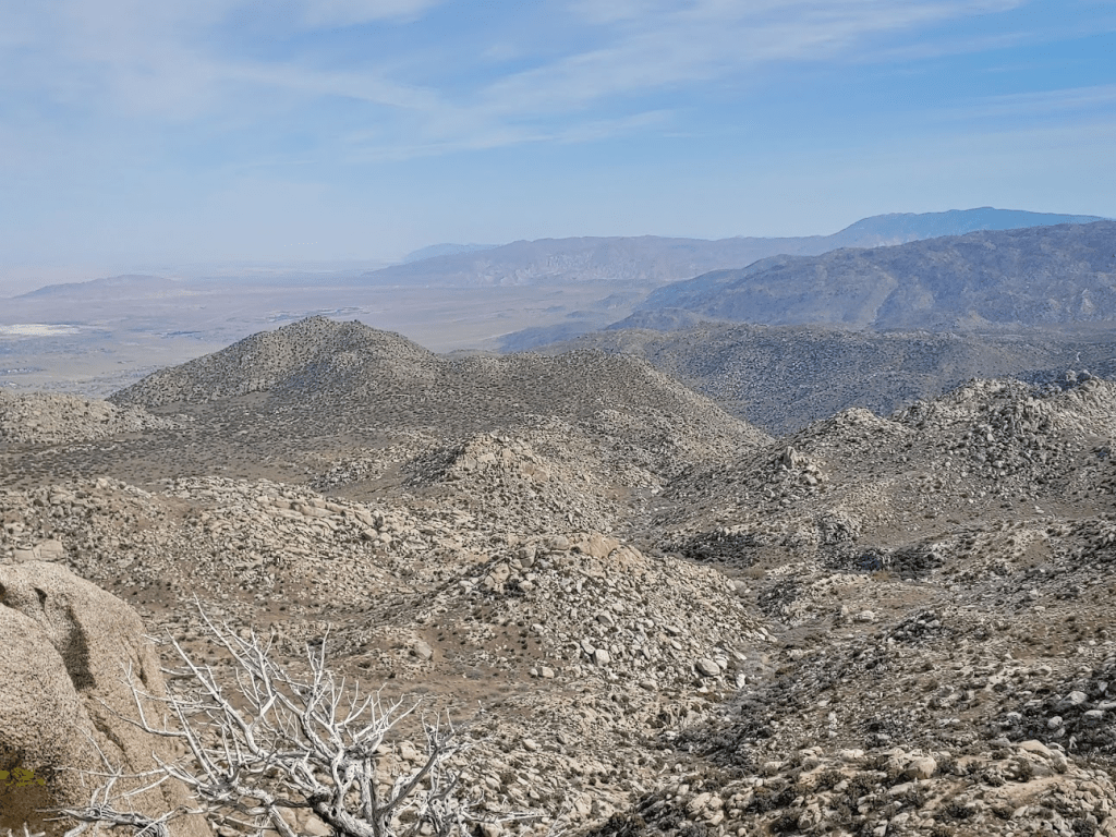
I could see the rocky ridgeline leading up to the peak of San Ysidro.

I started descending after a 20 minute break. I got down off the rocky slope and started heading back west.
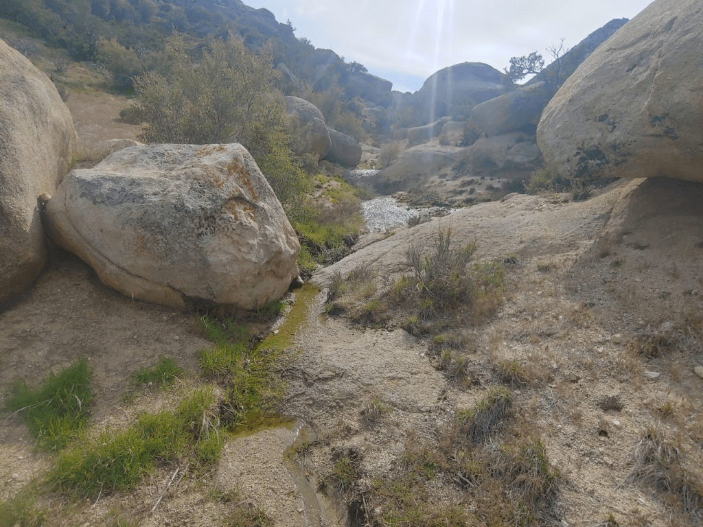
I retraced the route I took from the thimble to Goat for a mile or so. I noticed some water draining through a small wash, likely from Thursday night’s storm.
I had to get back around the Thimble to reach my starting point. There is a nice jeep road one could follow around the south side of it, but unfortunately this passes through private property, and I didn’t want any confrontations with unfriendly landowners. Instead, I decided to go around the north side of it. The north side of the Thimble is connected by a high ridge which leads towards San Ysidro. This would mean nearly reclimbing the entire height of the peak.
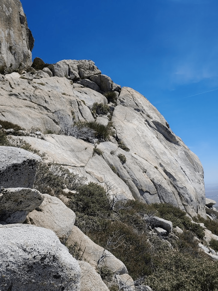
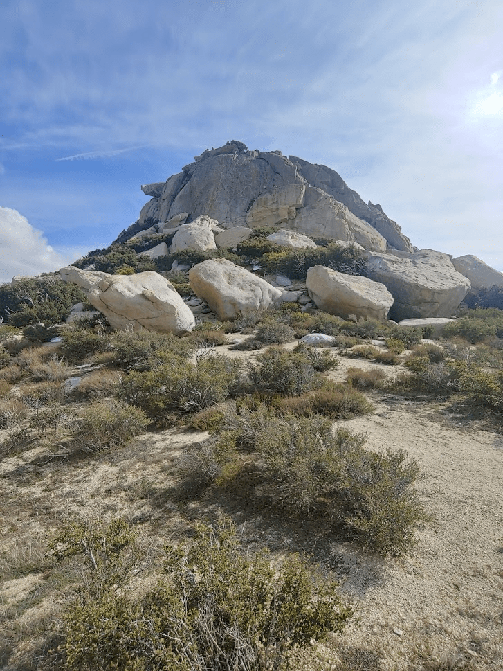
It was a tough, steep climb, but eventually I reached the saddle north of the Thimble. The large boulders which make up its summit were impressive from this side as well.
I descended from the Thimble southwest towards the trail I started on.
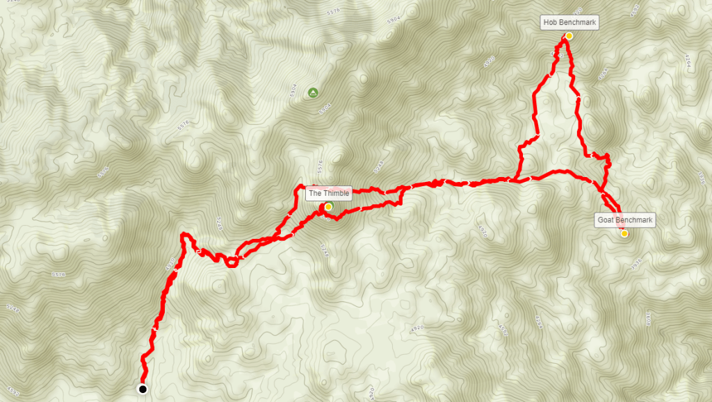
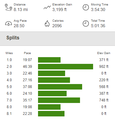
From there, it was an easy walk back to the car. This hike totaled 8.13 miles, 3199 feet elevation gain, and 5:01:36 total time.
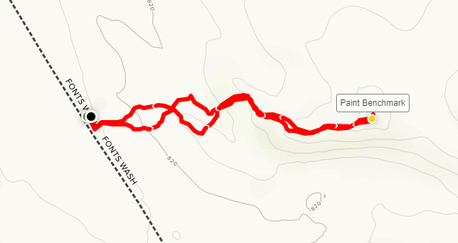
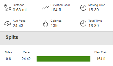
It was just before 5pm, so I had another 2 hours of daylight to work with. I decided to drive to Fonts Point, a popular viewpoint over the Borrego Badlands. I would also hit 2 more very minor peaks on the way. I drove back out to Montezuma Valley Road which I took down into the valley. This section of highway is an epic drop from over 4000 feet in Ranchita to about 800 feet in Borrego Springs. I noticed the parking lot for the popular Hellhole Canyon trailhead was pretty full as I drove by, not great for social distancing. I drove east through Borrego Springs and eventually arrived at the road to Fonts Point, which is about 4 miles from the highway. High clearance and 4WD/AWD is recommended for this road due to deep sand. I started driving south down the road for less than a mile before pulling over to the side to park for a little side trip to Paint Benchmark (974 feet). I started hiking to the east through a small wash.
I eventually climbed out of the wash and hiked up a small hill to the benchmark.
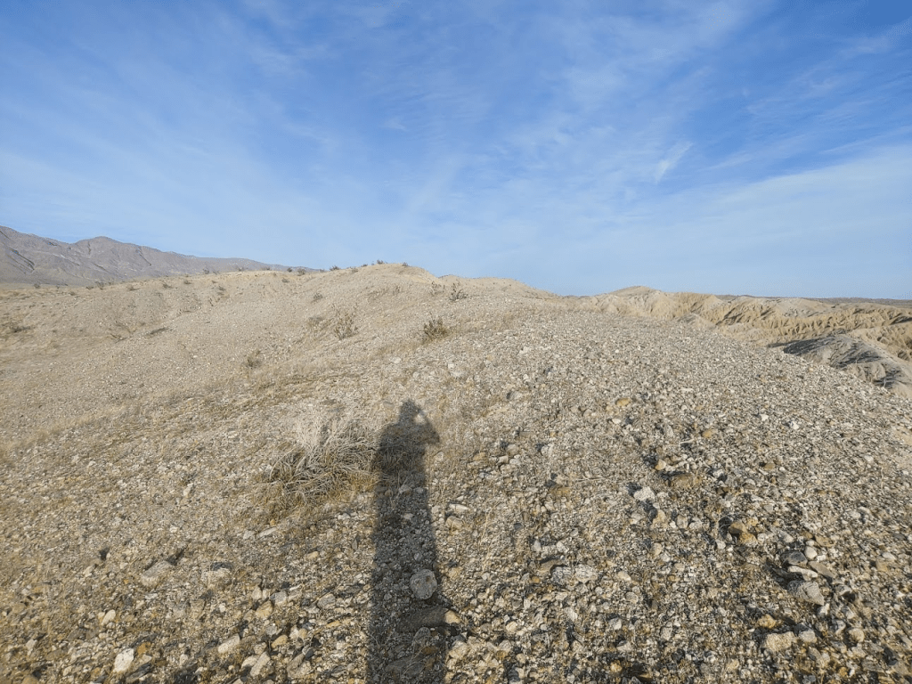
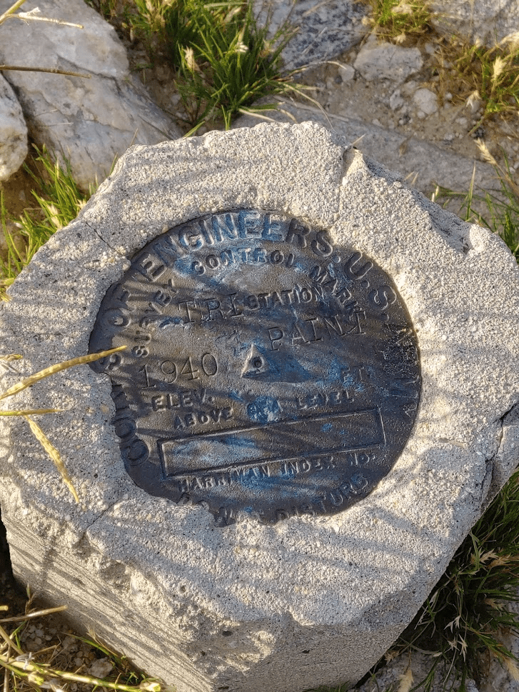
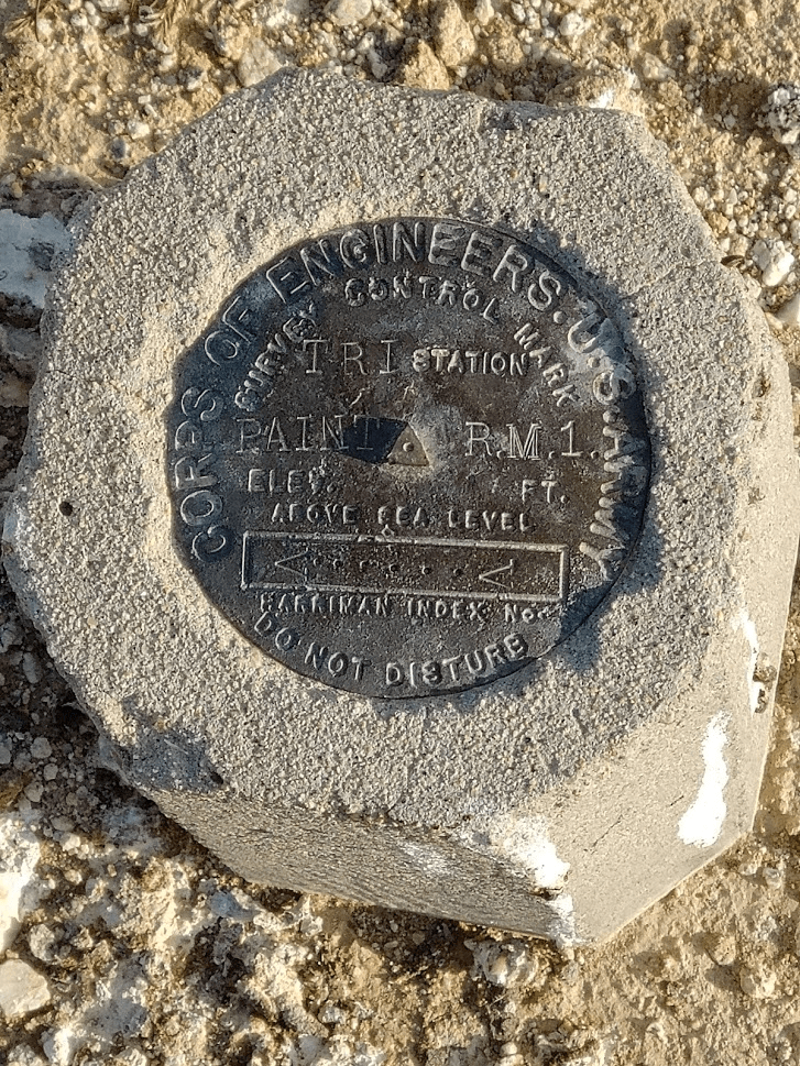
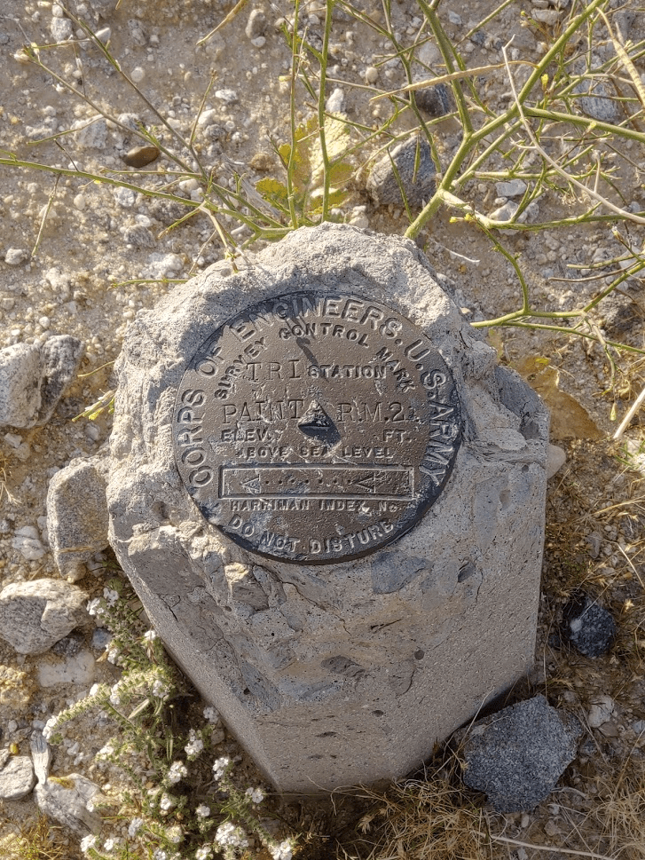
It took me just 9 minutes to climb the 0.3 mile to Paint. I located the benchmark and 2 reference markers.
After taking a couple pictures I scrambled back down to the car. It was a short hike of 0.63 mile, 164 feet elevation gain, and 16:30 total time.
I got back in the car and drove the remaining ~3.5 miles to Fonts Point. There were 5-6 other cars parked there when I arrived. I noticed a few people unpacking chairs to sit and watch the sunset. I also noticed a few people scattered around with fancy cameras taking pictures of the scenery. I got out of the car and made the short walk to the viewpoint. Fonts Point (1294 feet) is one of the few big tourist areas in Anza Borrego I hadn’t been to yet. After seeing the views, I could certainly understand why it is so popular. The view over the Borrego Badlands was spectacular.
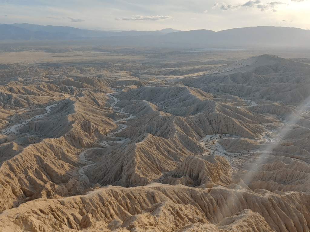
The sun, which was beginning to set over the San Ysidros, cast long shadows over the many wrinkles and folds below.

There was a quite a drop off from where I was standing!

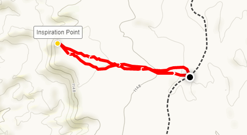
I soaked in the views for just a few minutes before going back to the car. I still had one more minor peak to climb before sunset. I drove back down the sandy road for less than a mile before getting out to start my climb towards Inspiration Point (1211 feet). This was a very easy walk up a gentle hill.
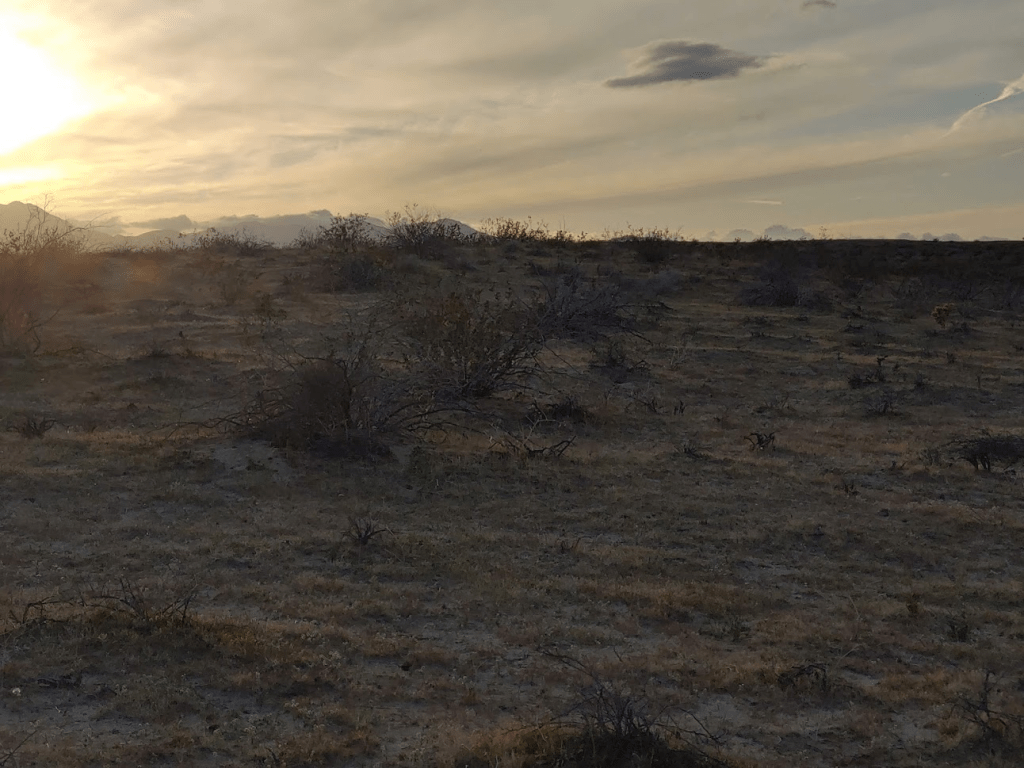
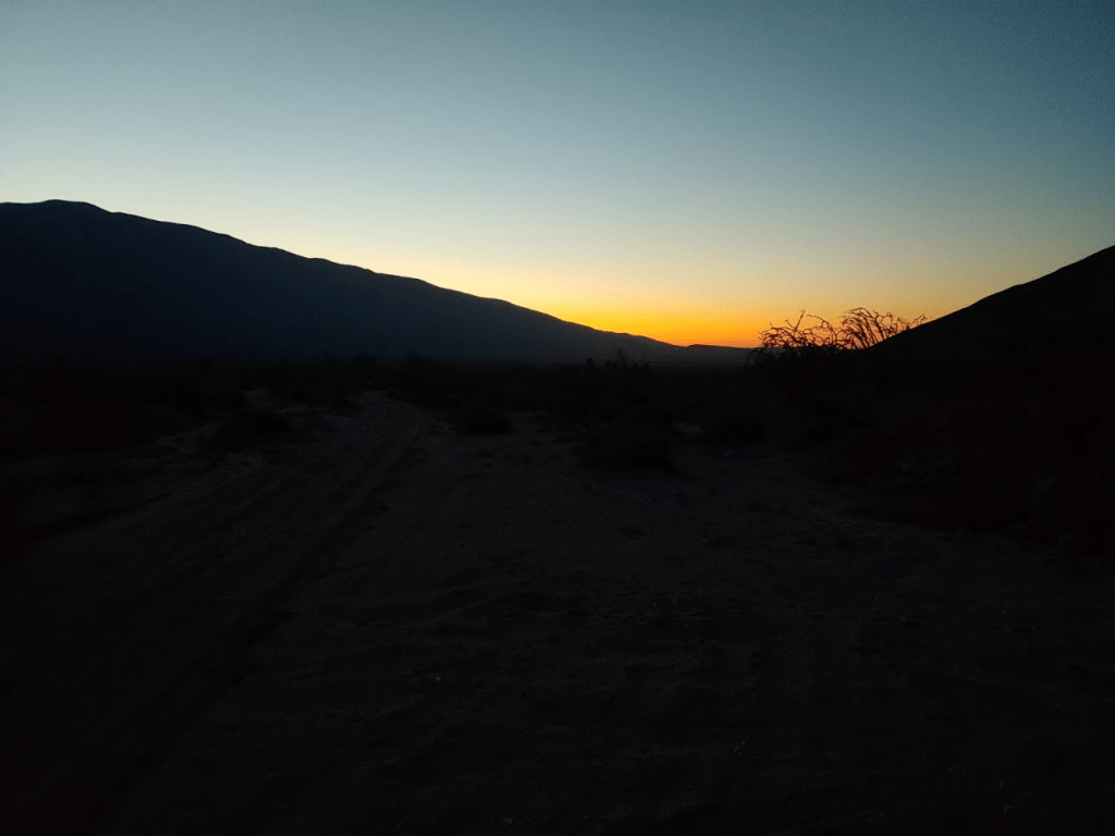
It took just 6 minutes to reach the summit. Inspiration Point is slightly lower and slightly less spectacular than Fonts Point, but it was nice to have this summit all to myself. I enjoyed one of the most amazing sunsets I had ever seen.
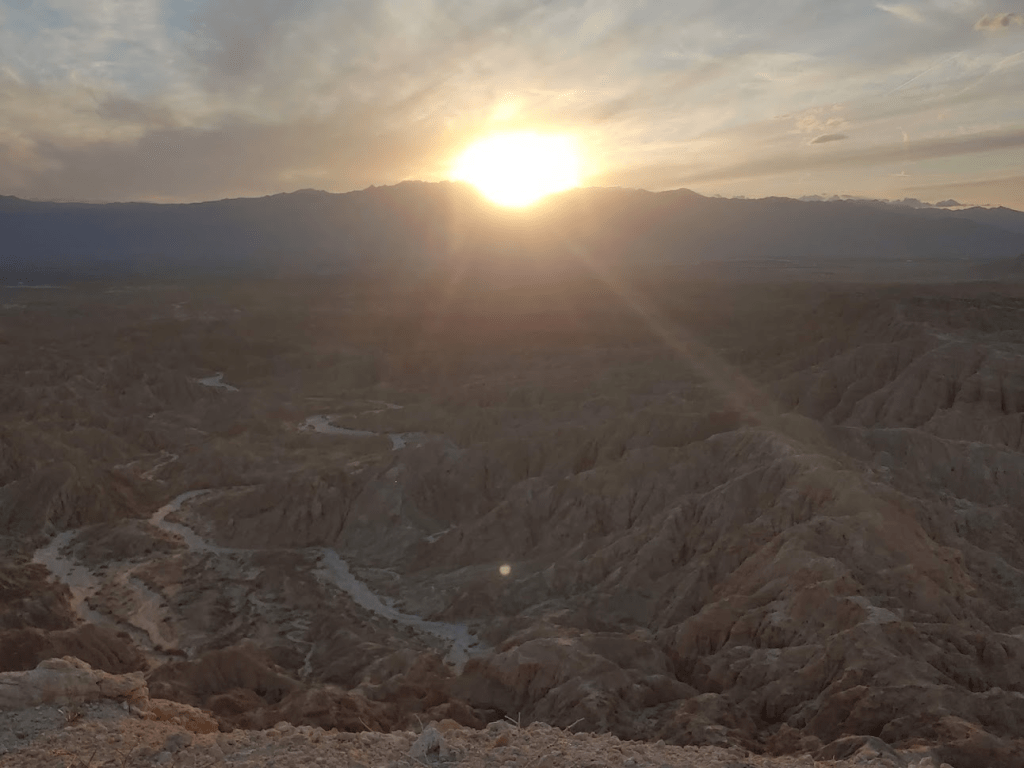
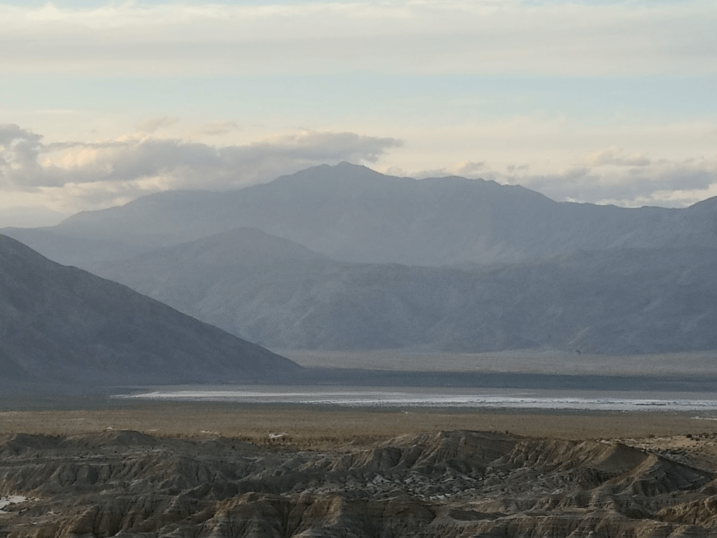
From here, I could also see the mountain I intended to climb the next day, Lorenzens Peak. The mountain, which rises nearly 6000 feet above Clark Dry Lake, looked very intimidating in the fading light.
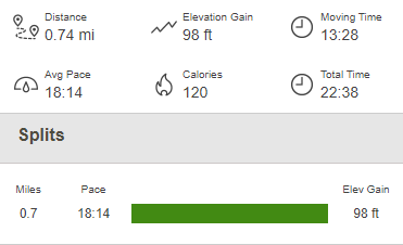
It was now almost 7pm, so I decided to call it day. This was another short hike of 0.74 mile, 98 feet elevation gain, and 22:38 total time.
Normally I would have driven into Borrego Springs to eat at one of its charming little restaurants for dinner, but in the spirit of social distancing, I had brought all of my own food with me. I also had left San Diego with a full tank of gas, so I didn’t need to make any stops. I made the sandy drive back out to Highway S22, where I went west for a few miles where I turned right (north) onto unpaved Rockhouse Canyon Road. It was about a 7 mile drive to where I intended to start the next day’s hike. The first few miles are very smooth and passable for any car. Then, you must drive over Clark Dry Lake for a short stretch. It was a little muddy from the recent rains, so needless to say my car got filthy. The final few miles to where I parked were a little bumpier but not too bad. I found a good spot to pull off the road and spend the night.
Day 2
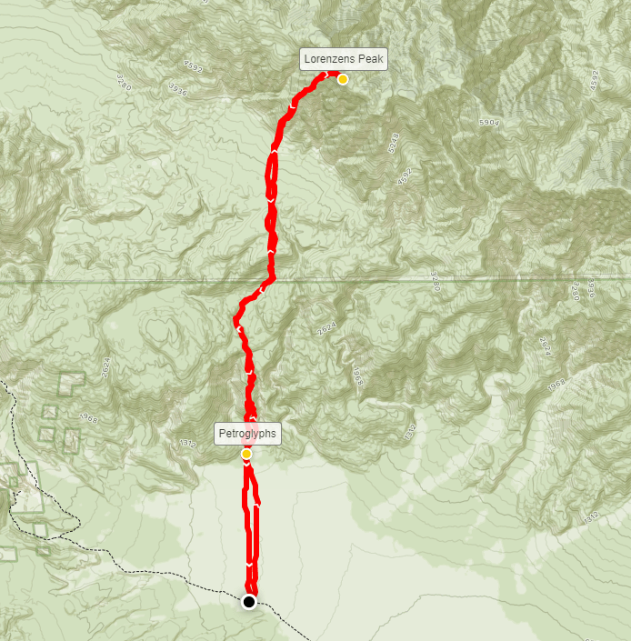
My plan for Sunday would be to climb a remote peak in the heart of the rugged Santa Rosa Mountains. The main Santa Rosa crest runs from Highway 74 up to the highpoint at Toro Peak and then down the ridge to Rabbit and Villager peaks, eventually reaching the desert floor near Highway S22. Besides a forest road (that I recently hiked the length of) which goes up to the summit of Toro from Highway 74, the entire range is devoid of any roads or trails. The main crest rises 5000-6000 feet from both sides. The most remote part of the mountain range is the section between Toro Peak and Rabbit Peak. The highpoint of this section is a peak which is not officially named. The USGS simply refers to it as Peak 6582 (its elevation). It is also referred to as Lorenzens Peak or Dawns Peak on various maps. There is no easy route up to its summit. The traditional route, which was my plan for the day, is an epic 15 mile/6000 feet climb from Clark Dry Lake. The hike can be divided into 3 distinct climbs, each preceded by a relatively flat section. It would be about a 2 mile walk across the desert flat to the base of the mountain, then the 1st 1000 foot climb, then a mile or so up a sandy wash, then the 2nd 1000 foot climb, then a mile or so across some gentle terrain, then the final 3000 foot push in about a mile and a half. I got started at 6:11am as dawn was just beginning to materialize in the east. My starting point was at 776 feet.
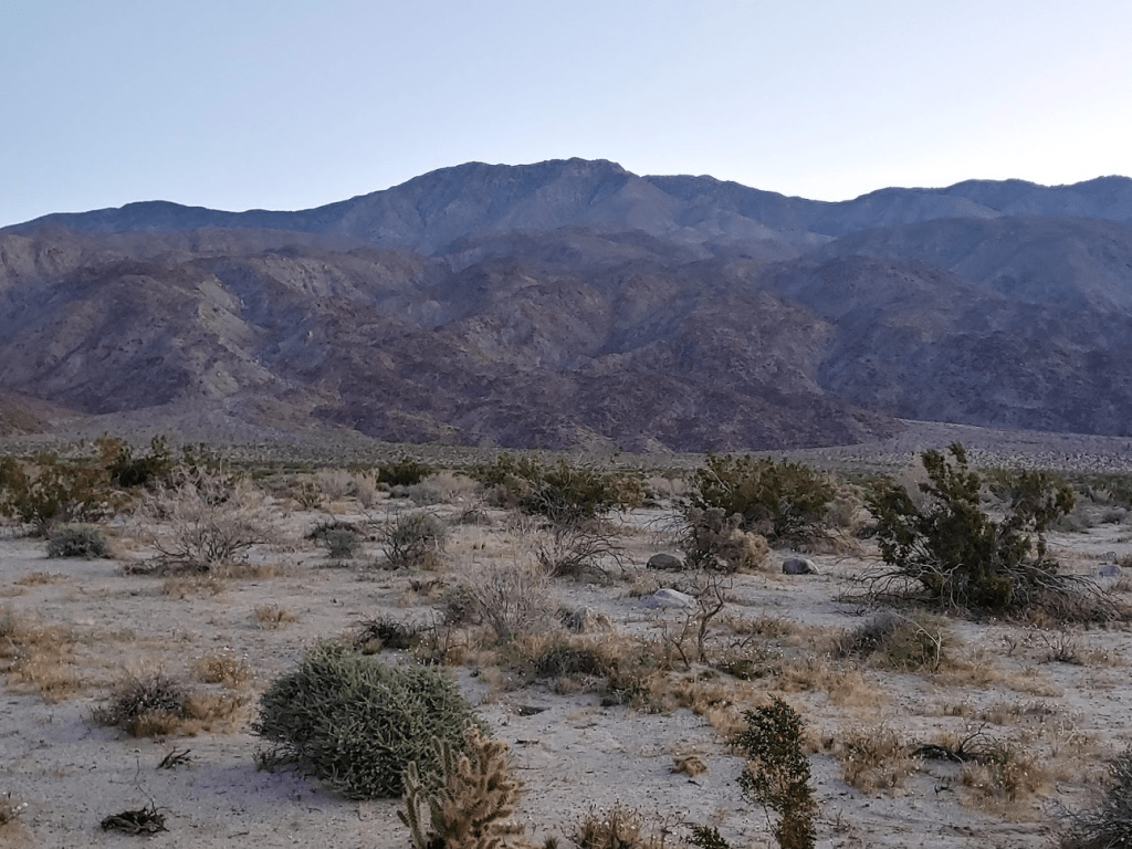
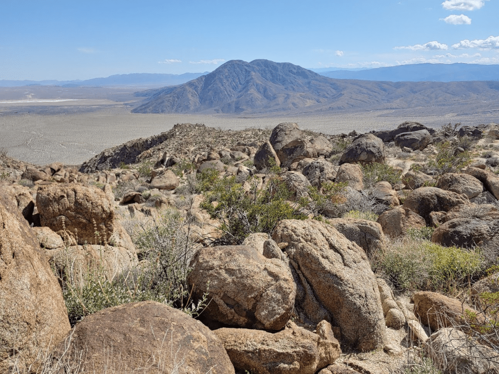
It was an easy 2 mile walk to the base of the mountain. The early morning was very chilly.
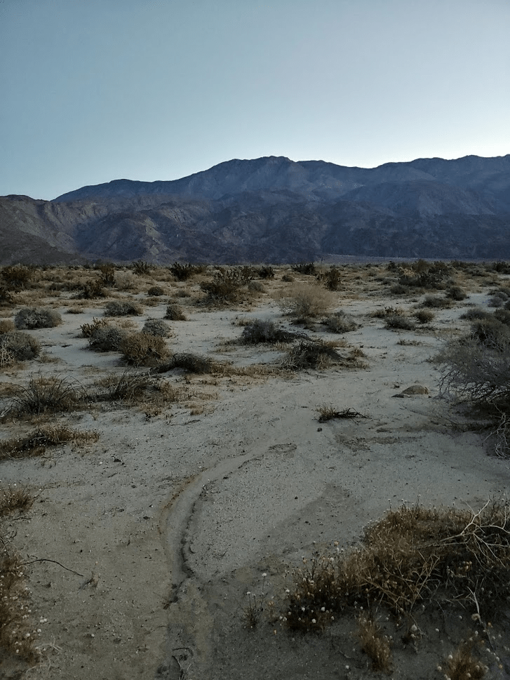
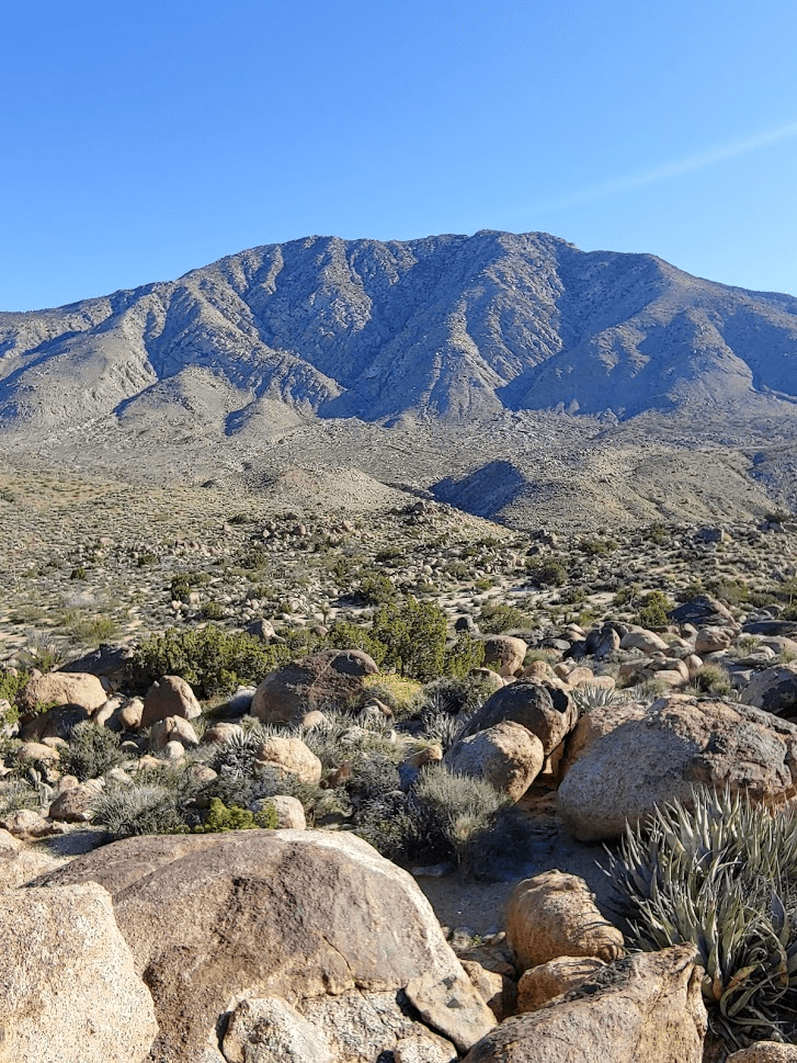
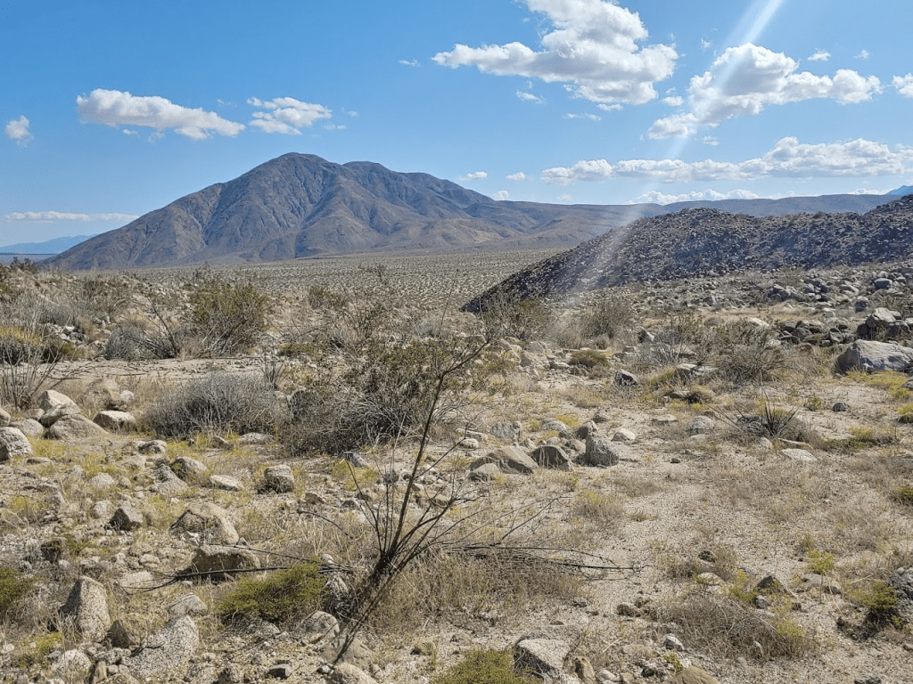
The mountain already looked imposing.
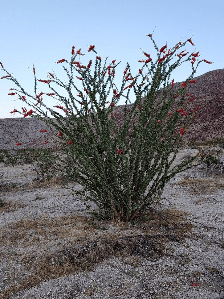
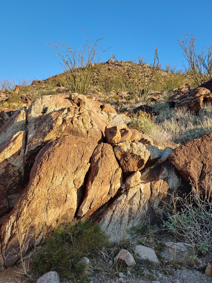
I noticed some impressive looking ocotillo in full bloom from the recent rains.
I arrived at the base of a small hill, where there was supposed to be a “Corp” Benchmark part of the way up. I never found the benchmark (it sounds like it is either missing or impossible to locate based on other reports).
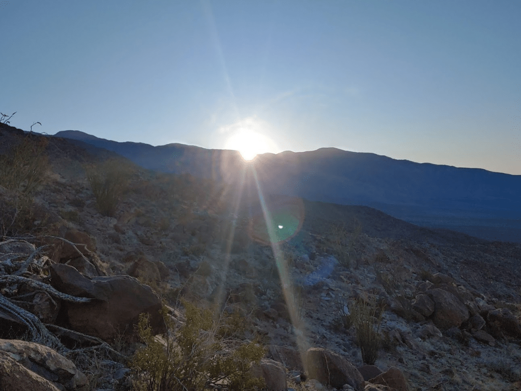
Near Corp Benchmark there are supposed to be some petroglyphs (Native American rock etchings). I spent a minute or 2 looking for them before moving on. I didn’t want to waste time since I had such a long day ahead. I figured I could search more on the return if time allowed. I began the first climb of the day, which gains about 1000 feet up a broad ridge. The sun began to rise over the Santa Rosa crest to the east. I started to warm up in the sun, so I shed some layers.
This section was steep, but the ground was solid, so I made good progress.
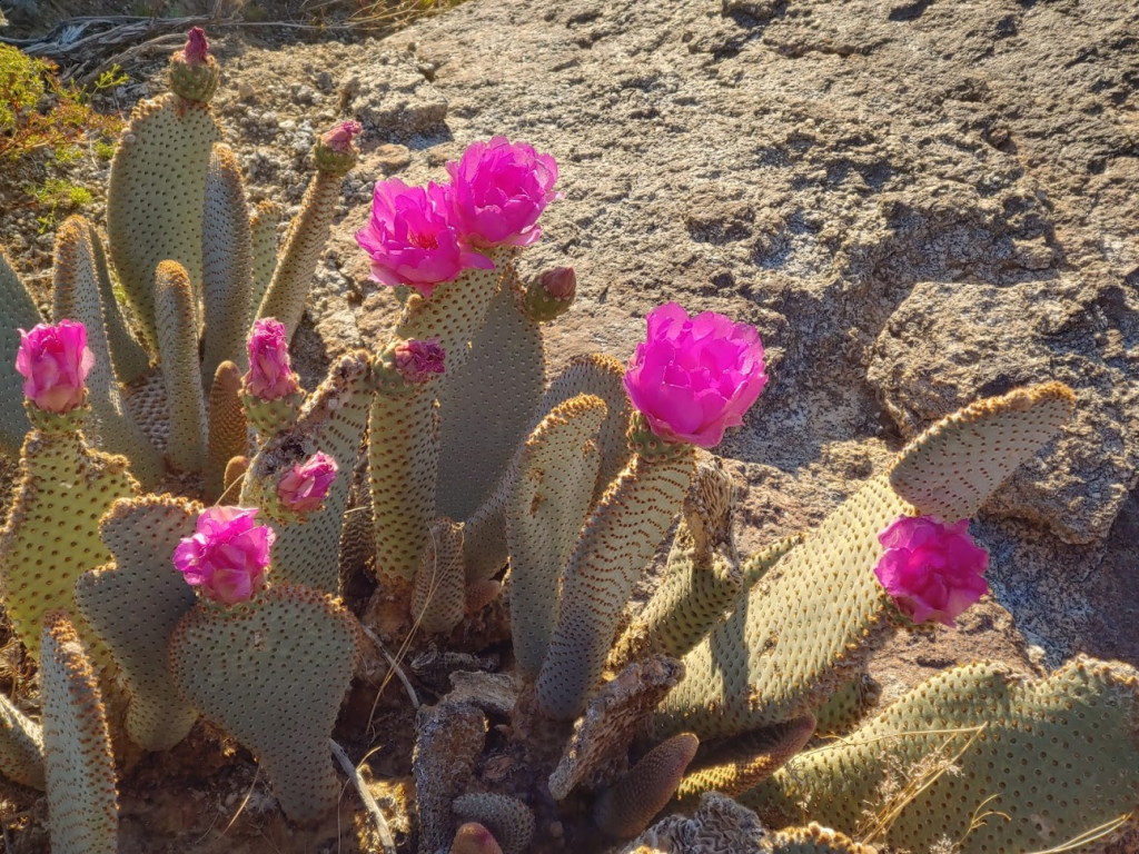
I noticed some beavertail cactus blooming with their beautiful pink flowers.
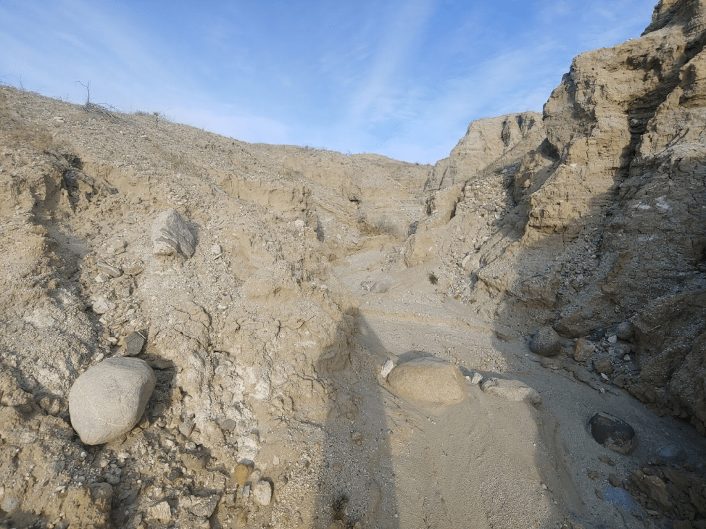
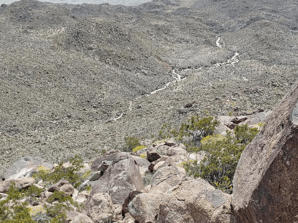
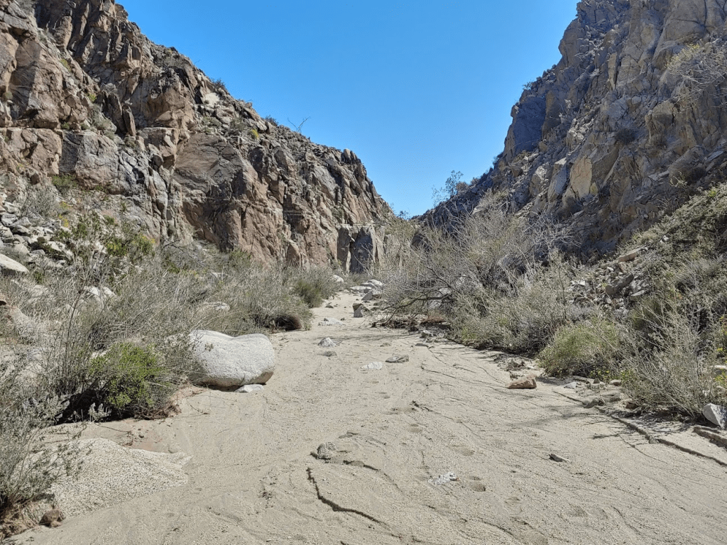
At 3.14 miles I dropped down into a canyon on the right side.
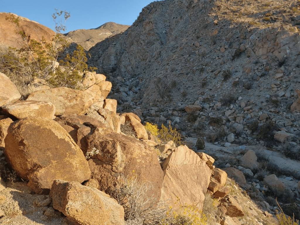
The wash running through the canyon was wide and sandy which made for some pleasant walking. The sides of the canyon were steep and narrow.
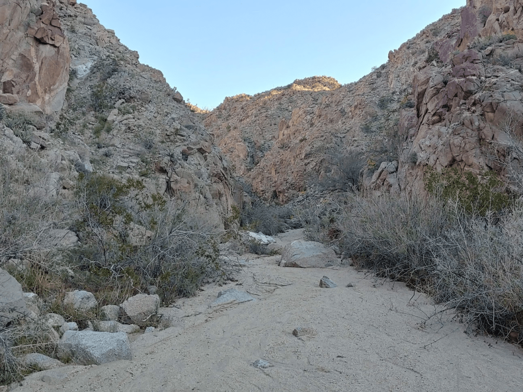
The canyon began to widen as I turned northeast.
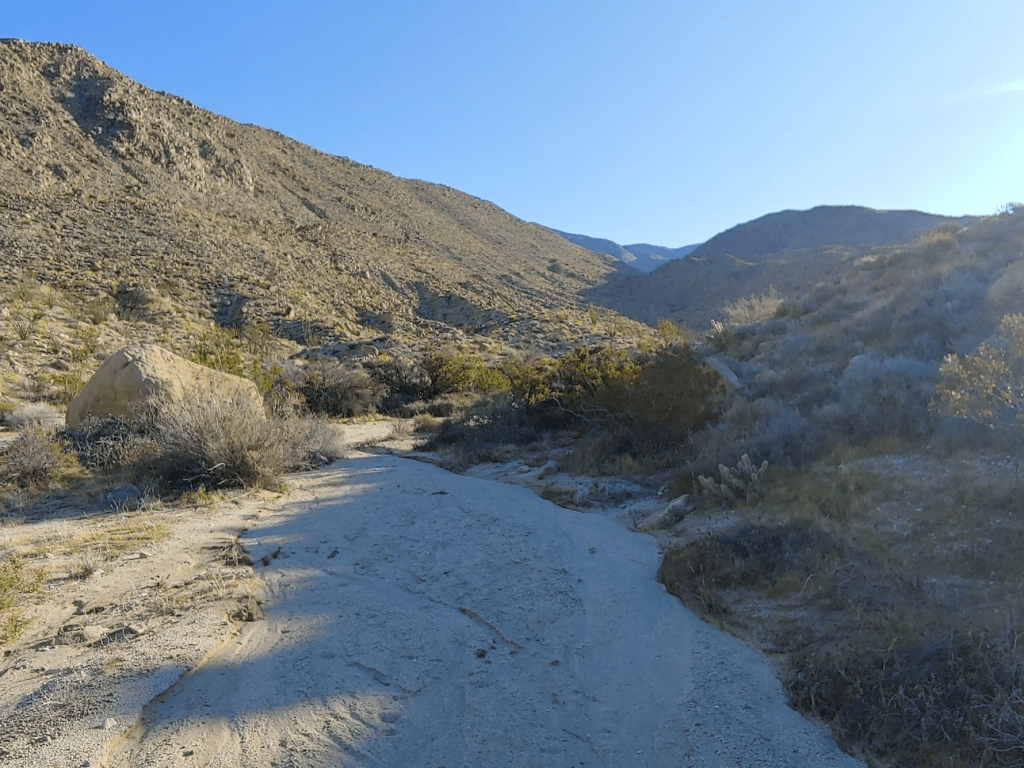
At 4.37 miles I began the 2nd steep climb. I had already been hiking for more than 2 hours at this point.
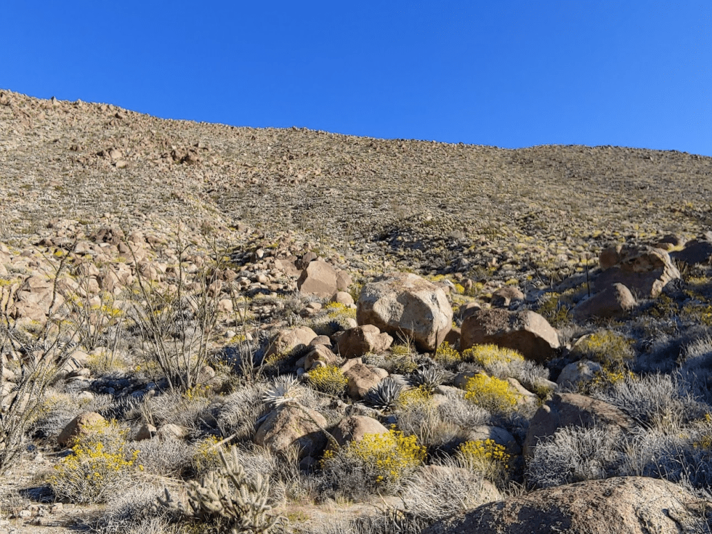
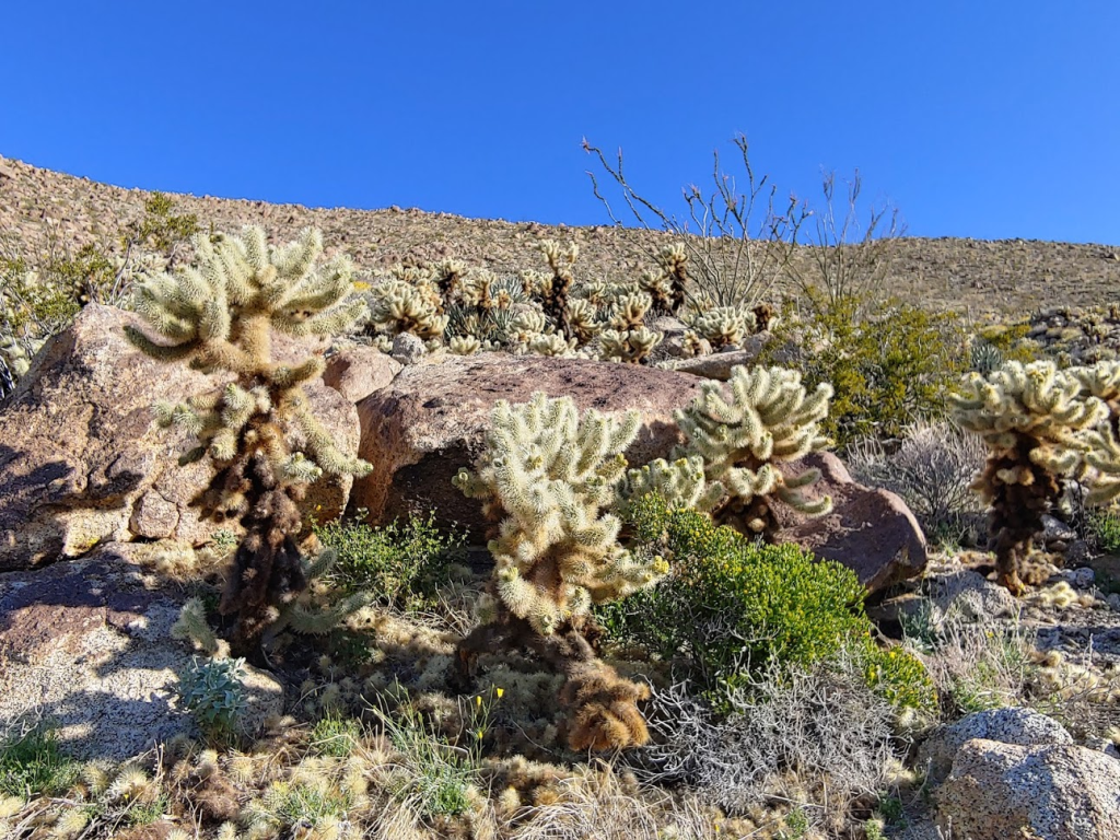
This section was difficult due to dense clusters of teddy bear cholla.
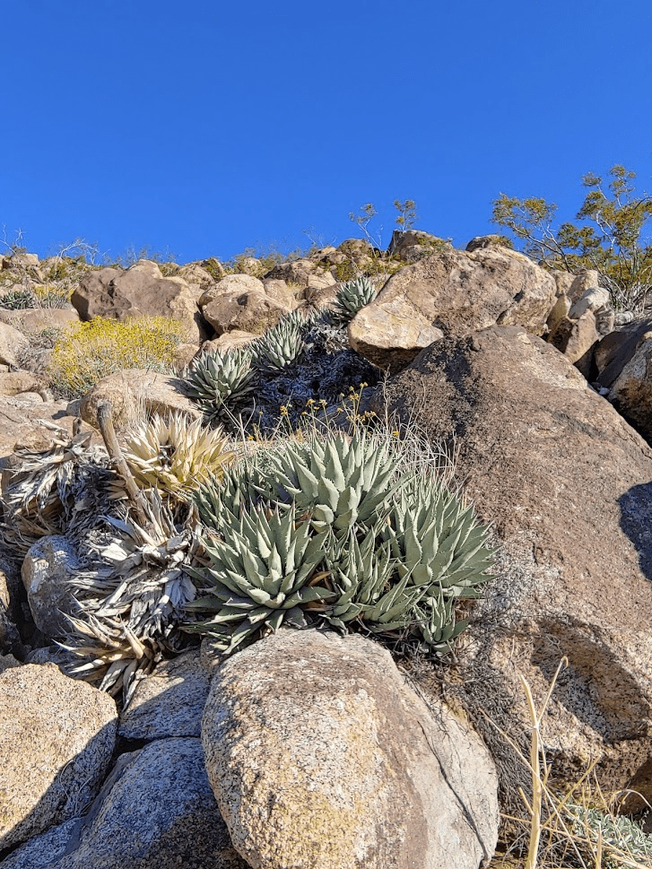
Agave started to appear at this elevation, which made progress even more difficult.
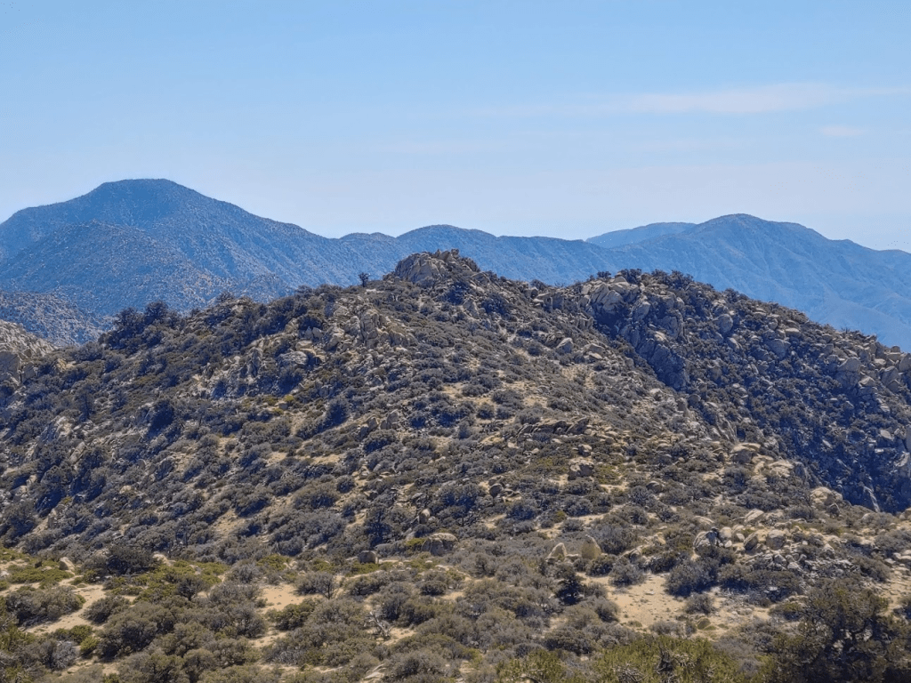
It took about 25 minutes to reach the top of the 2nd steep climb. The summit now came into full view.
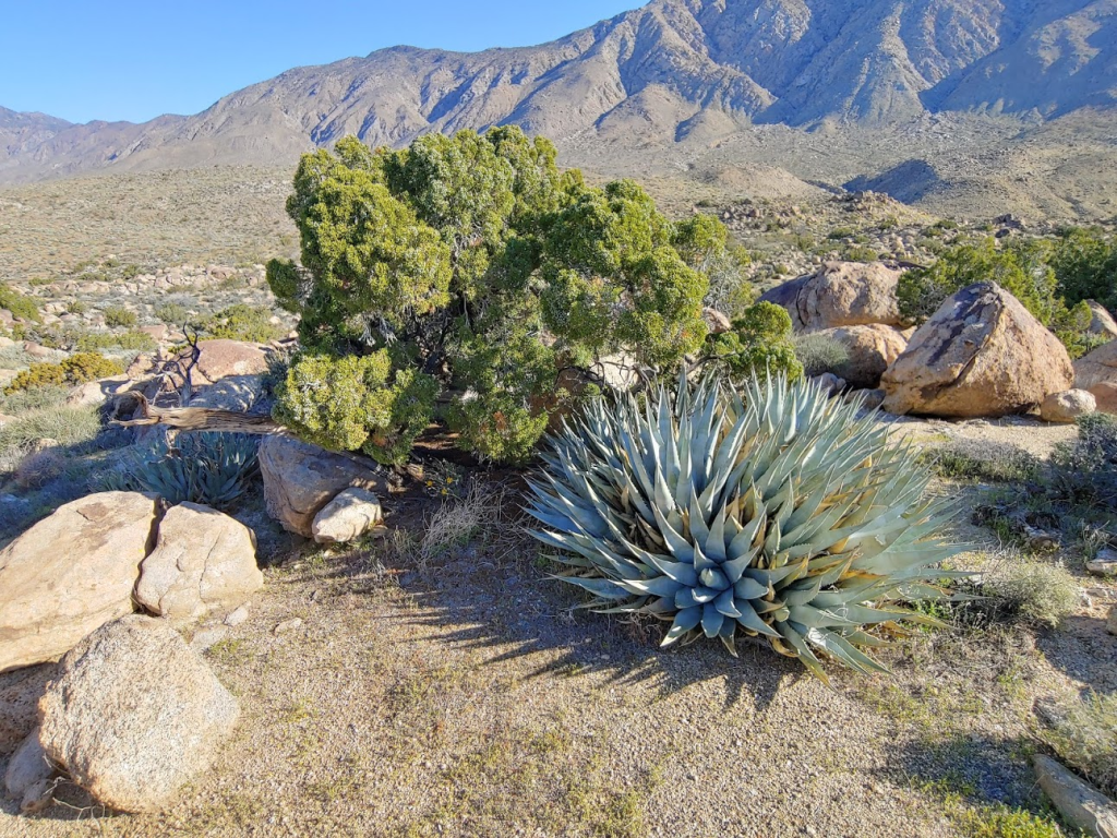
It was a 1.5 mile walk over gentle terrain to the base of the final climb. Juniper shrubs were plentiful at this elevation.
This part seemed to drag on forever. I aimed for one of the ridges southwest of the summit.
At 6.1 miles I reached the base. I was at about 3800 feet, meaning I still had over 2700 feet to climb in just 1.5 miles. This was going to be difficult!
I started up the ridge, which was as steep as I was expecting.
Progress was slow.
Thankfully the footing was solid, so I was able to make okay time up the ridge despite the steep angle.
I started to notice some scraggly pinyon pines around the 5000 foot level.

Up, up, up!
The grade lessened a little around the 5700 foot level.
The final section before the summit got brushy as the route turns east.
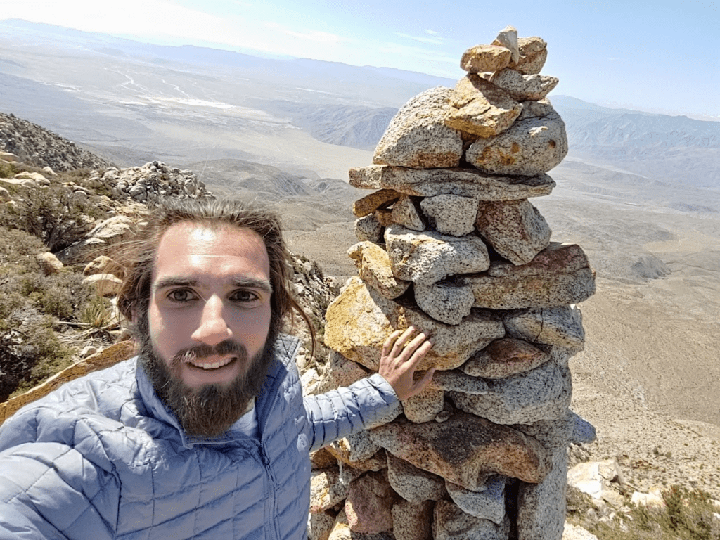
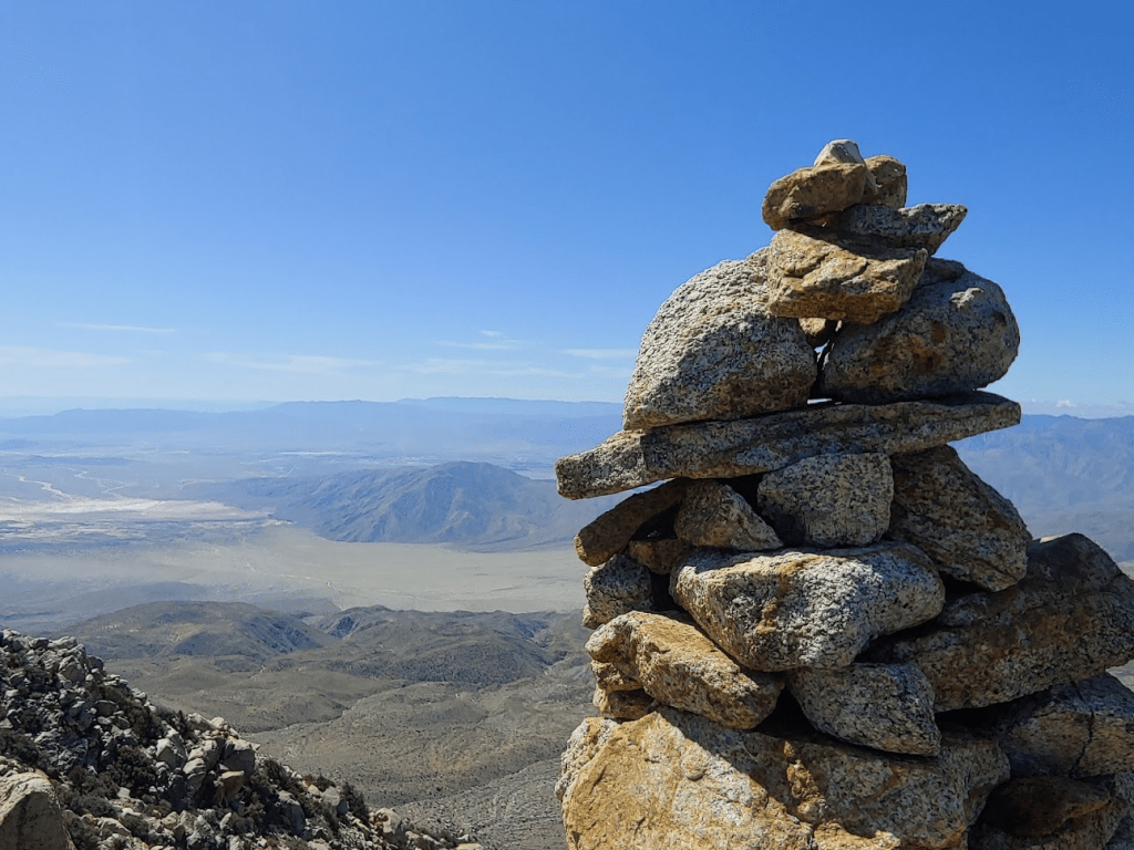
I finally reached the summit at 10:52am!! I had been hiking for 7.45 miles up to this point. A large rock cairn marks the summit.
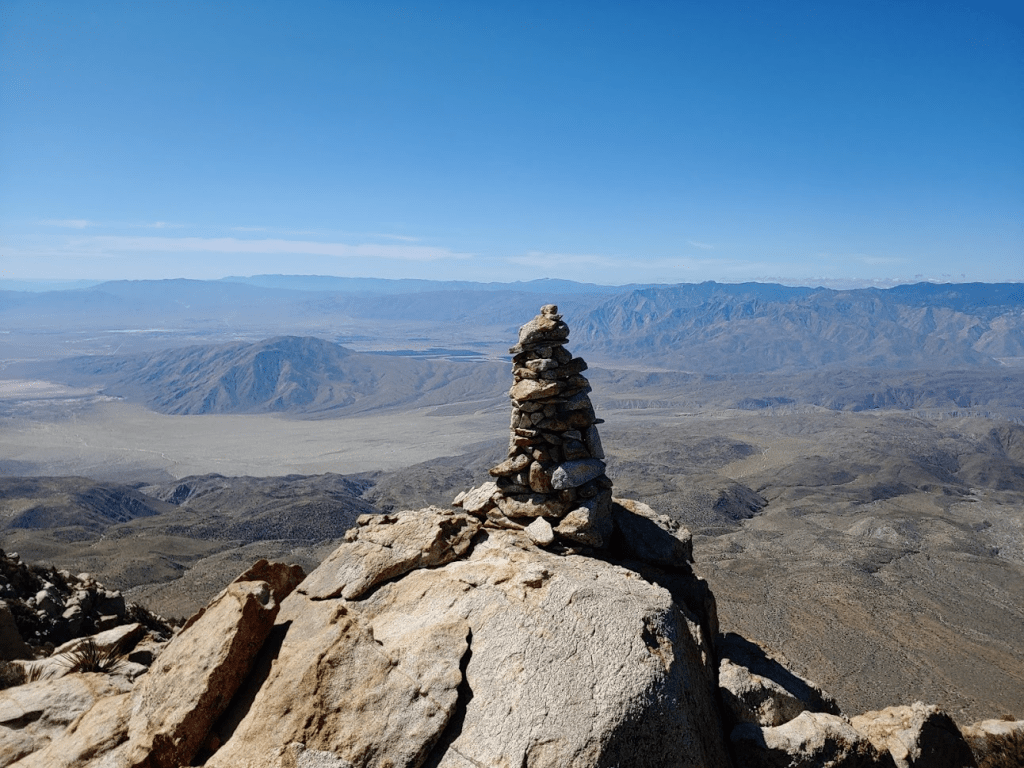
I was overwhelmed with a sense of accomplishment and by the sweeping views below.
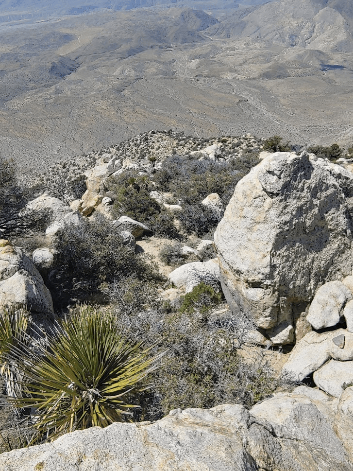
It was staggering to look down on the desert below and think about how far I had ascended.

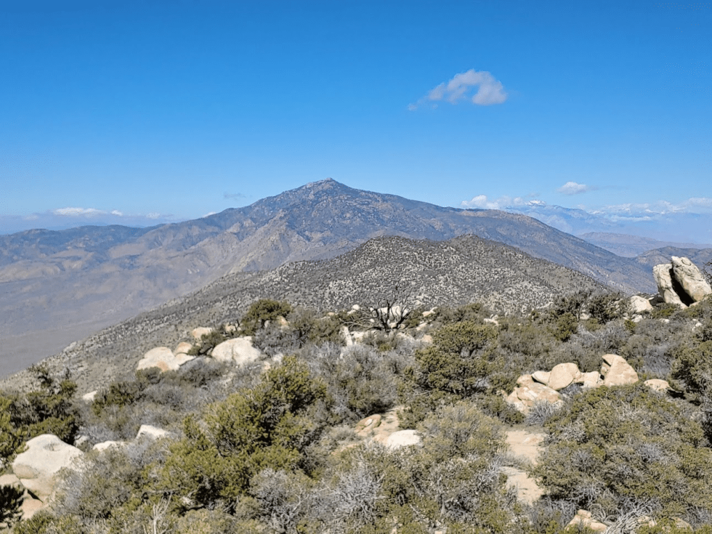
I spent a long time admiring the views. The highest peak in the Santa Rosas, Toro Peak, was a short distance to the northwest.
The other main peaks along the Santa Rosa crest, Rabbit Peak and Villager Peak, were close by in the opposite direction.
Snow-capped San Jacinto and San Gorgonio were partially obscured by clouds.
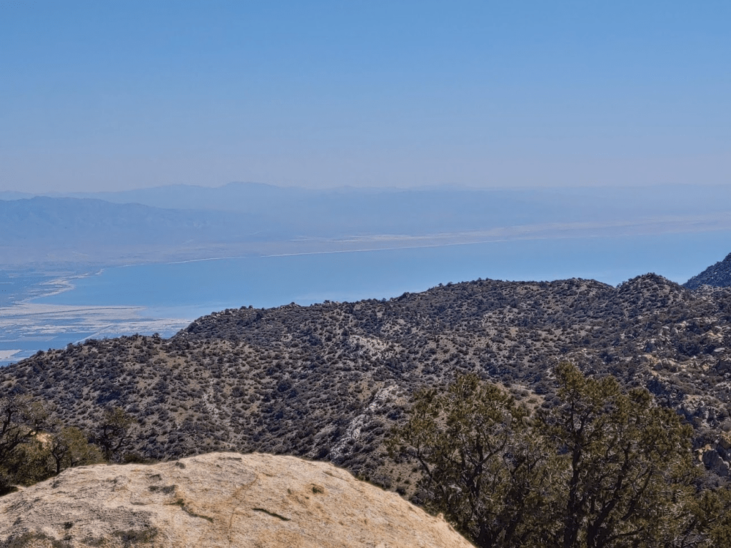
I could see a large portion of the Salton Sea to the east.
I spent some time perusing through the registers. There were 4 books inside. The oldest register, book 2, was in pretty bad shape. Book 3 was completely full. Book 4, which I signed, was nearly full. Book 5 was completely empty. I noted the previous ascent was October 31, nearly 5 months prior! After I was done with the registers, I examined the cairn a little more closely. It was a little taller than me. Someone must have spent a long time making this thing. From previous reports, it sounded like it had been up there for many years, so I was impressed with its durability. I added a small rock of my own to the top before I was done.
I spent a whole hour on the summit. The 3000 foot climb to the top really wore me out. It felt really good to take off my boots for a little while, and I had some much needed food and water. I started heading back down just before noon. I took the same route down that I came up.

I proceeded very slowly down the steepest parts.
It took just over an hour to get down this section, which was about 30 minutes faster than I had ascended. I was happy to have the most difficult part behind me. The next section was relatively flat.
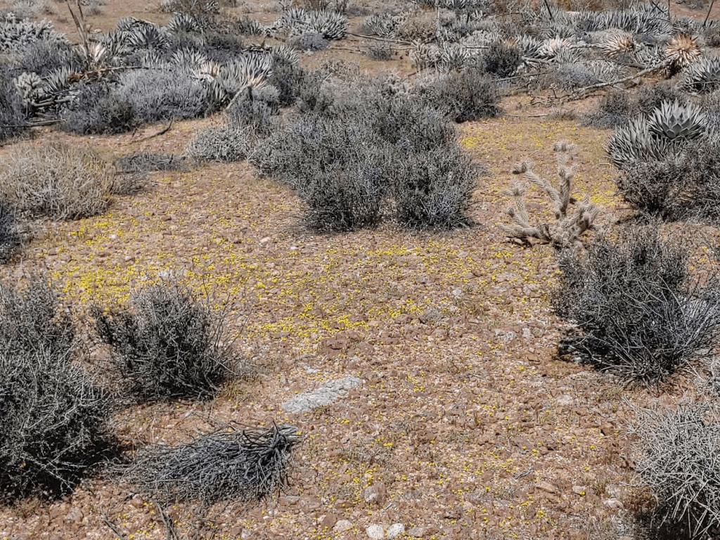
At one point I noticed a “carpet” of small yellow flowers.
At 1:41pm I reached the top of the 2nd steep part. I could see the wash down below.
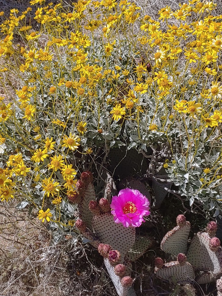
This was the section with dense fields of teddy bear cholla, so I had to go very slowly. Eventually, I made it back into the wash again. I found another pretty beavertail flower framed nicely by some yellow flowers.
I followed my own footprints back down the wash.
I climbed out of the wash back onto the ridge I had initially ascended. It was really starting to warm up. Thankfully, a nice breeze kept things cool.
At 3:26pm I was finally off the mountain. Just 2 miles to go back to the car!
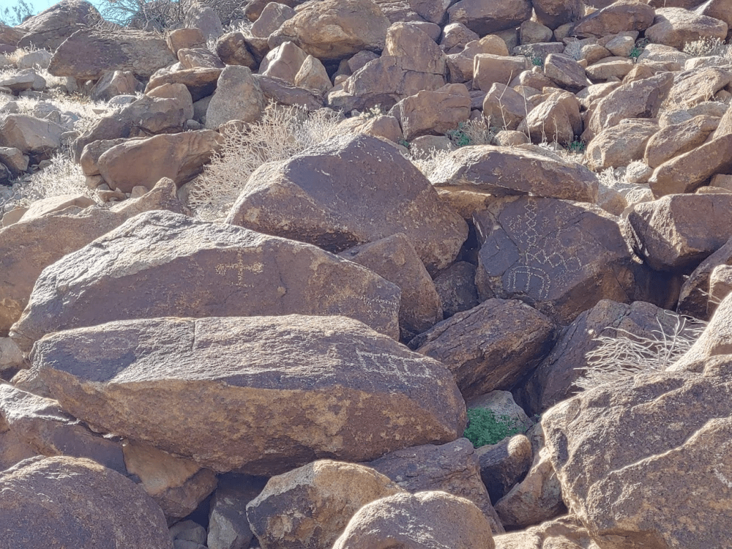
I was able to locate the petroglyphs I missed in the morning. They were on some large boulders on the western side of the beginning of a large canyon near where the Corp Benchmark was supposed to be. Very cool!
The last 2 miles to the car were uneventful. I turned around one last time to admire Lorenzens Peak. What a mountain!

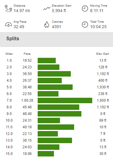
I clocked 14.97 miles, 5994 feet elevation gain, and 10:04:25 total time.
It was definitely one of my favorite hikes I had ever done. It was a very challenging, but very rewarding day.
