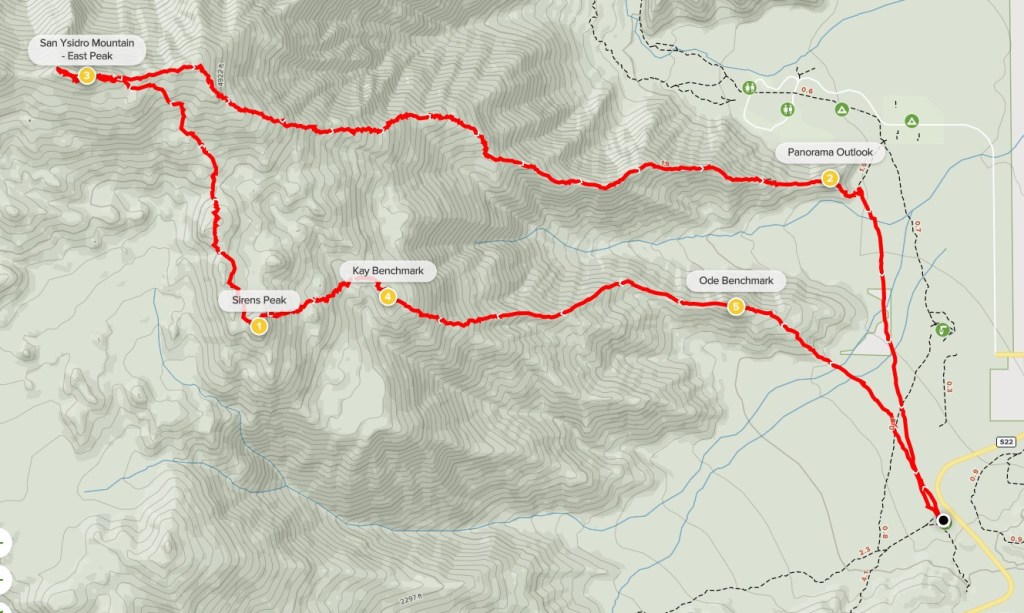
San Ysidro Mountain – East Summit, Sirens Peak, Kay Benchmark, and Ode Benchmark
My goal for the 2nd and final day of this short trip was to climb a quartet of peaks on the San Diego 100 Peaks List: Ode Benchmark (1510 feet), Kay Benchmark (3587 feet), Sirens Peak (4401 feet), and San Ysidro Mountain – East Summit (5386 feet). The first 3 peaks lie on a straight line along a ridge which starts near the state park visitor center in Borrego Springs. San Ysidro East lies on the next ridge to the north and can be reached via a short traverse from Sirens Peak. I was hoping to start from the visitor center but found that the gates don’t open until 7am. I didn’t feel like waiting for almost an hour, so I drove south to the Hellhole Canyon Trailhead and parked there (and paid the $10 fee again). This would end up adding about 0.75 mile to my hike each way. I started this hike by moonlight at 6:18am from 876 feet above sea level.

I angled northwest across the open desert towards the mountains. There are many ridges leading up the higher peaks, so it was important to choose the right one. I reached the base of the ridge at 0.7 mile.

I began climbing up the ridge towards the first peak of the day – Ode Benchmark. At 6:41am the sun began to rise across the Borrego Valley behind me.
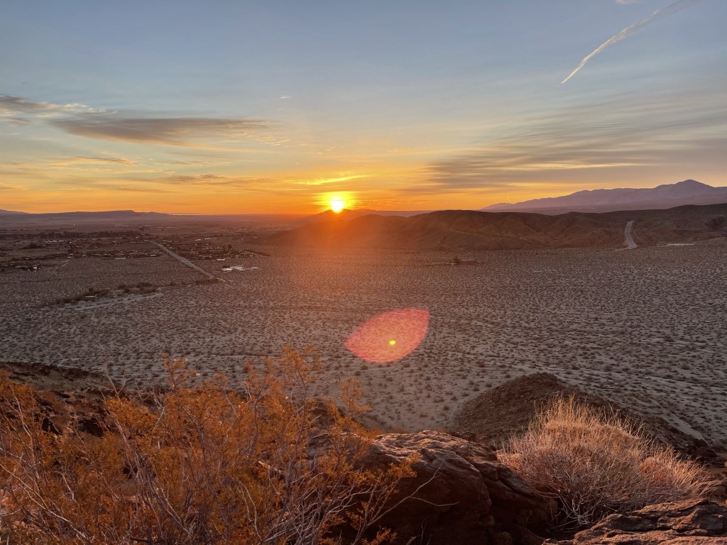
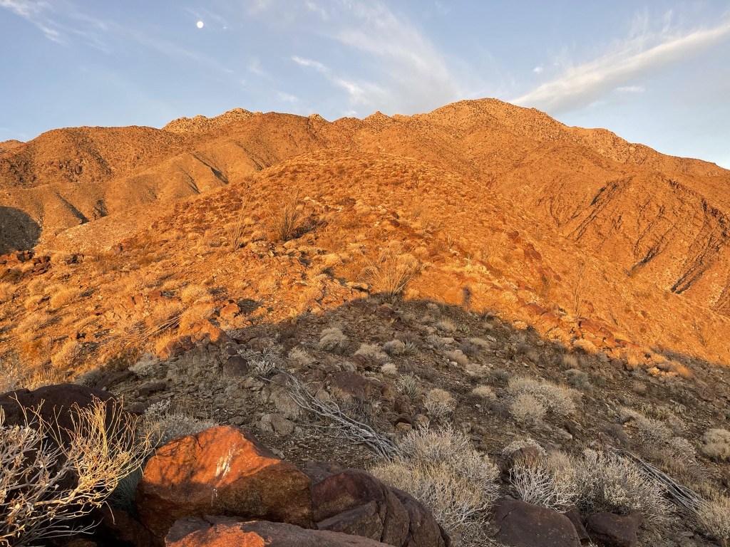
The sun really lit up the mountains above me which was a cool effect.
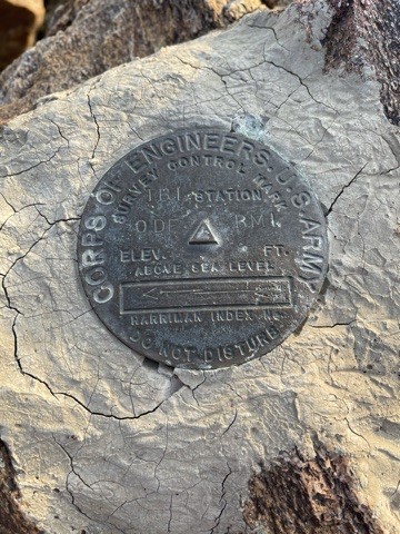
After a couple hundred feet of climbing I reached Ode Benchmark at 1.2 miles. I found the benchmark plus reference marker number 1.

The register consisted of just a few scraps of paper stapled together. It was placed last February so it was relatively new. I had a really good view of Indianhead just a few miles north.
I continued on after a short break. I descended a minor dip on the ridge to a saddle just under 1400 feet. From this point, it would be straight up to Kay Benchmark.

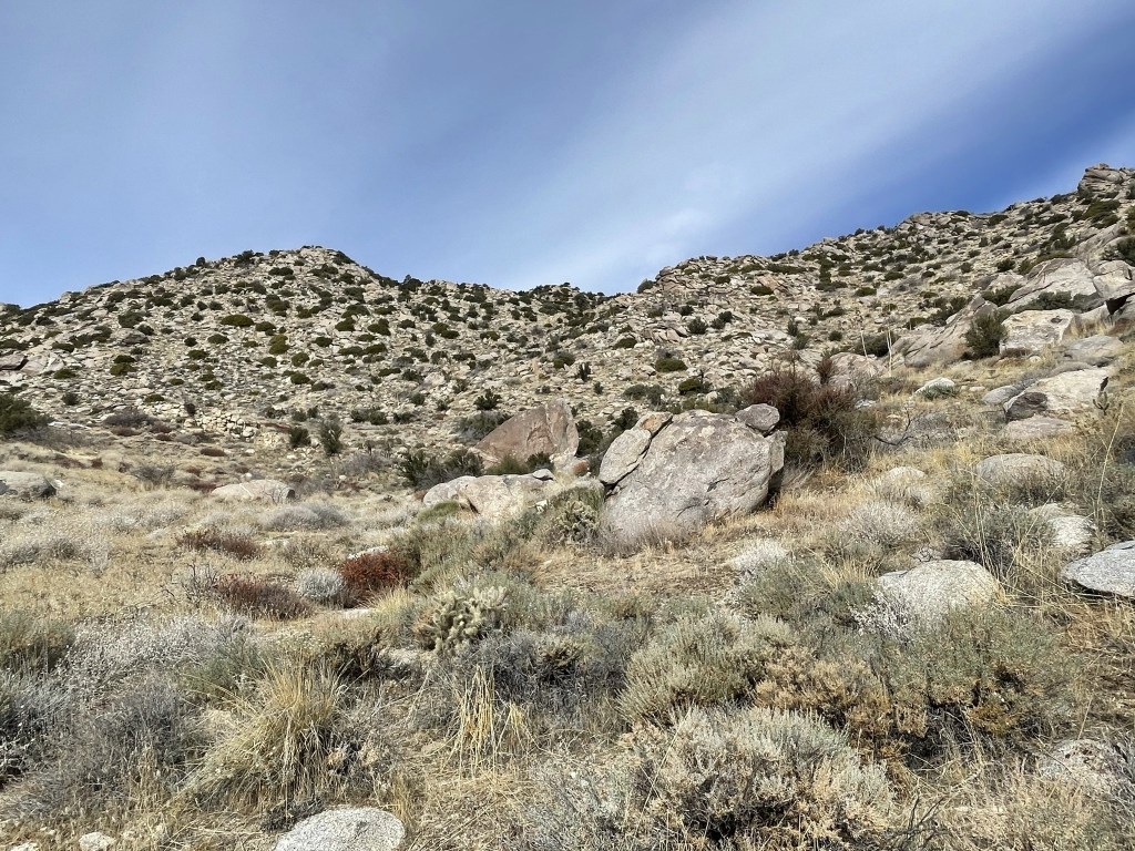
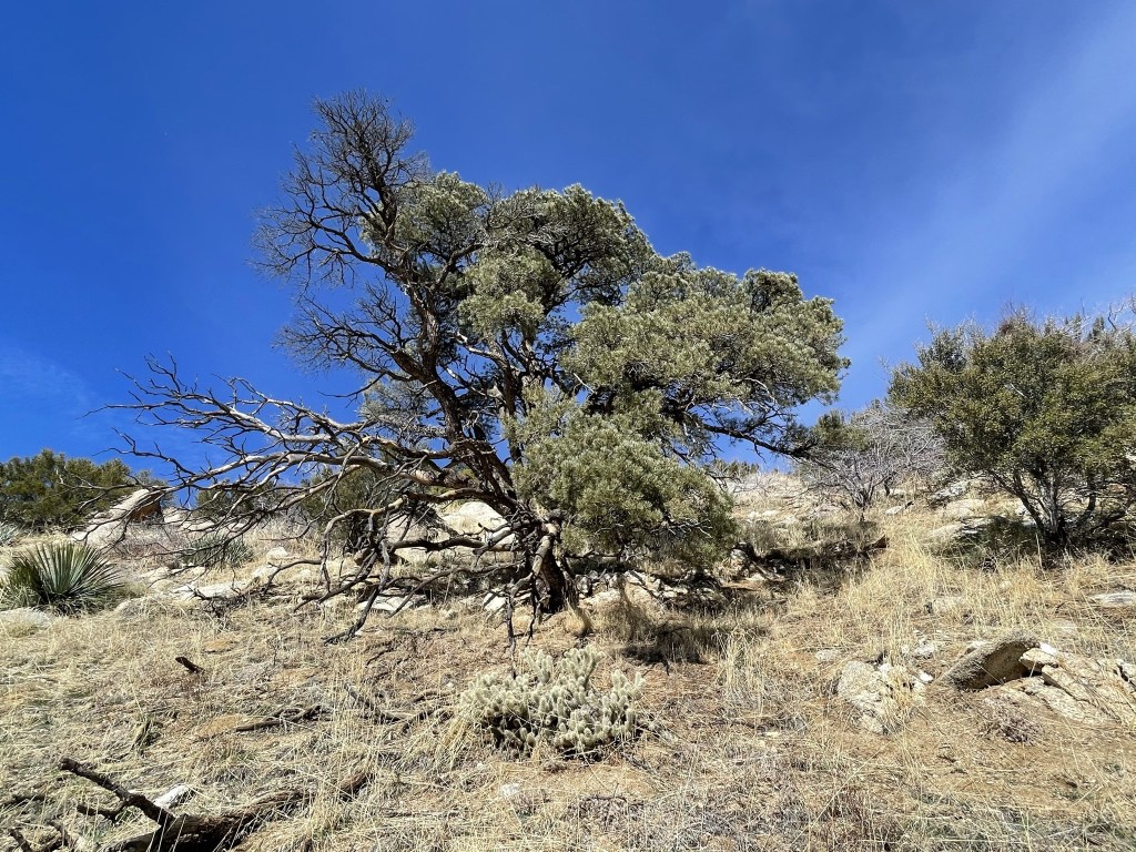
The route was very steep but initially the terrain was pretty easy. About 500 feet below Kay, the ridge became a lot brushier as yucca and juniper took over as the dominant vegetation.
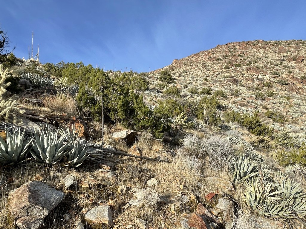
There were also larger boulders to deal with now.

All the miles I had done the previous day were already starting to catch up with me. I managed to make it to the summit of Kay for a much deserved rest at 8:23am. I was only at 2.8 miles so far but had already gained nearly 3000 feet. I located the benchmark and 2 reference marks.

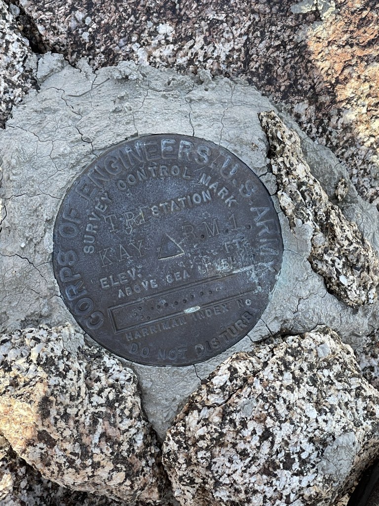

The benchmark was not on the highest boulder in the vicinity, so I climbed a few other rock piles as well. I signed the register which dated to 2006. The previous entry was on November 7th. Borrego Springs was starting to look pretty far away.

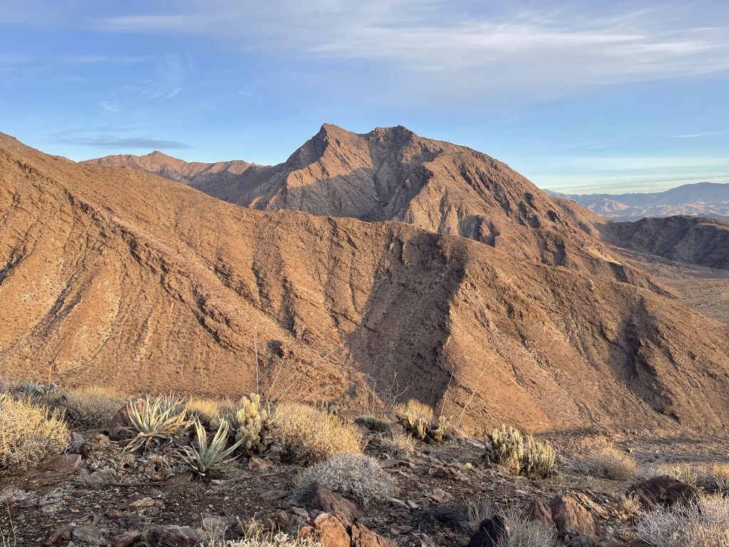
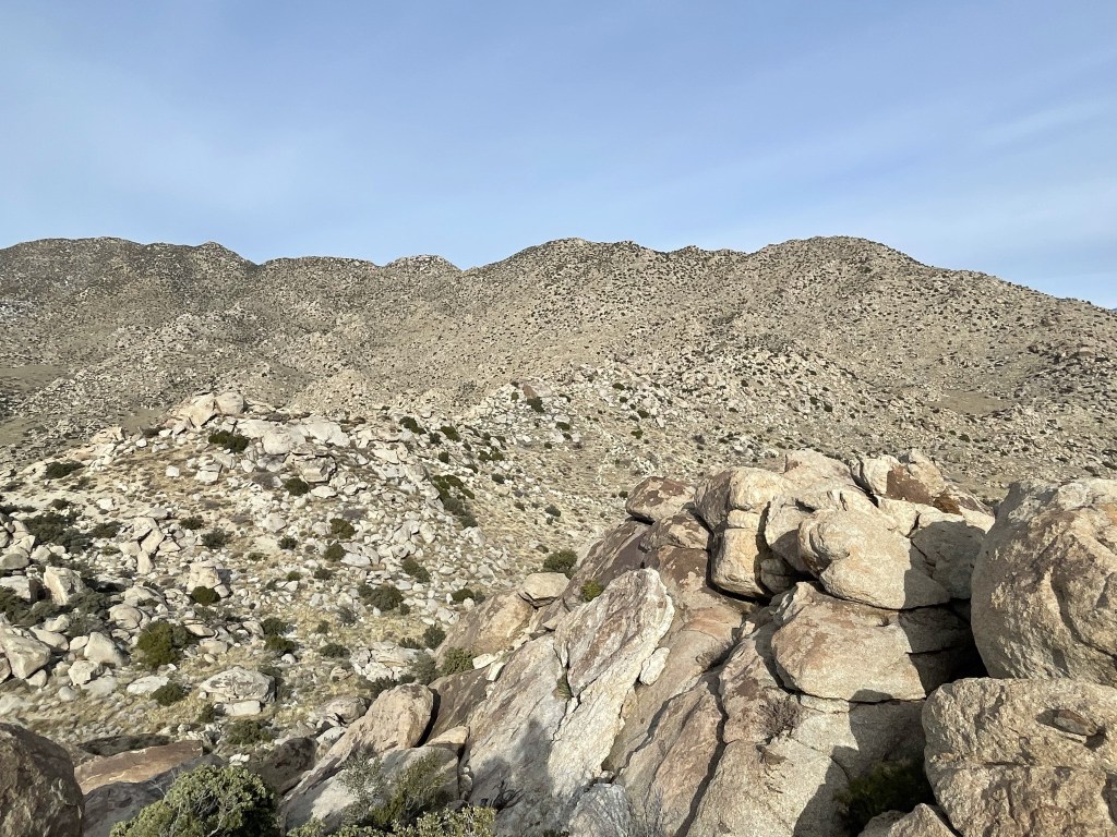
Sirens Peak was directly east about 900 feet above me (tall peak on the left).
I pressed ahead after a 20 minute break. I made a slight descent to the northwest and then bent northeast towards Sirens.
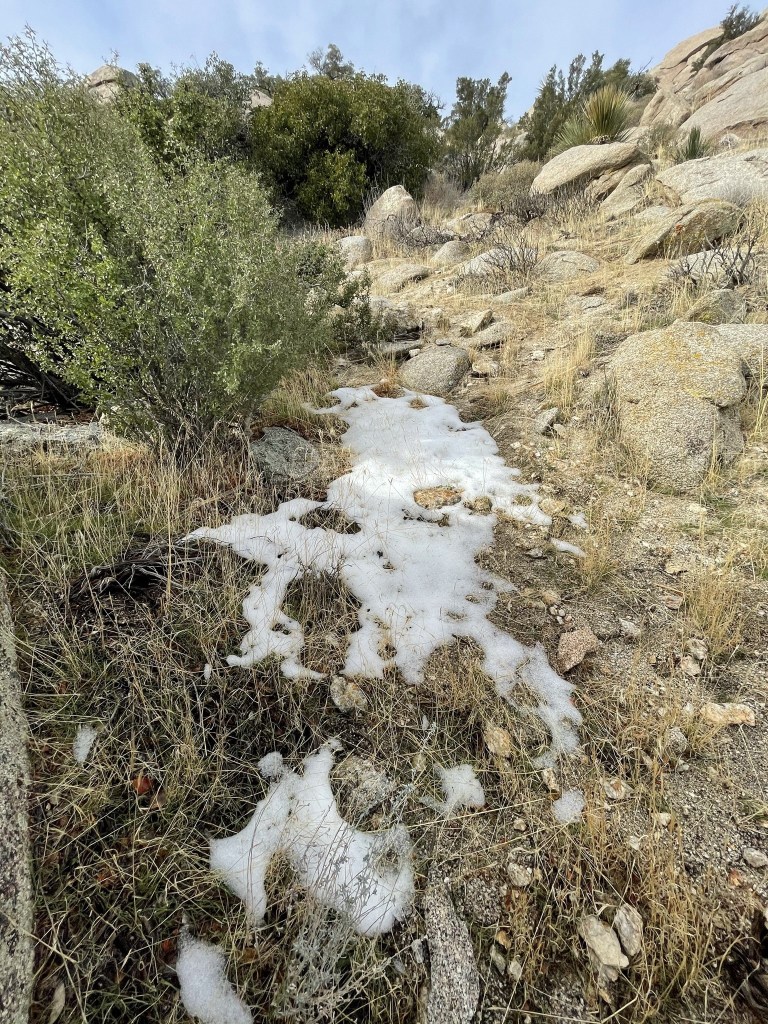
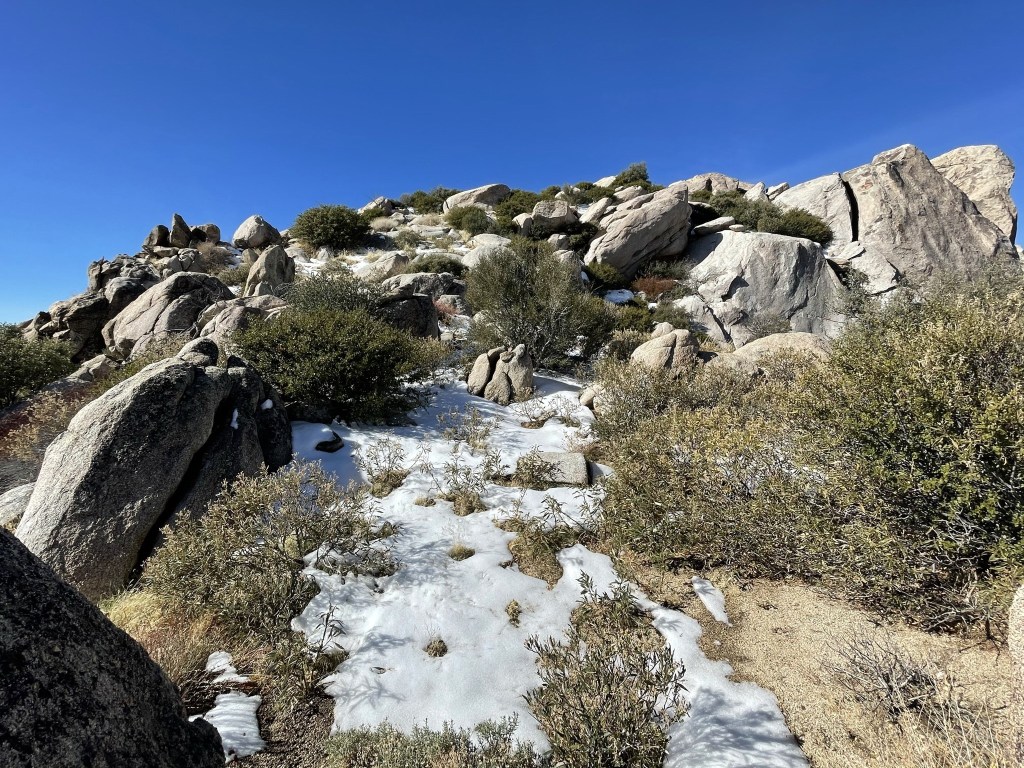
The terrain between Kay and Sirens was the most difficult I encountered on this hike. The brush was heavy and large boulders impeded my progress. I began to encounter patches of snow around 3700 feet.
I reached a flattish area and then turned directly south to climb up the last bit. The summit area of Sirens included some fun class 2 scrambling.

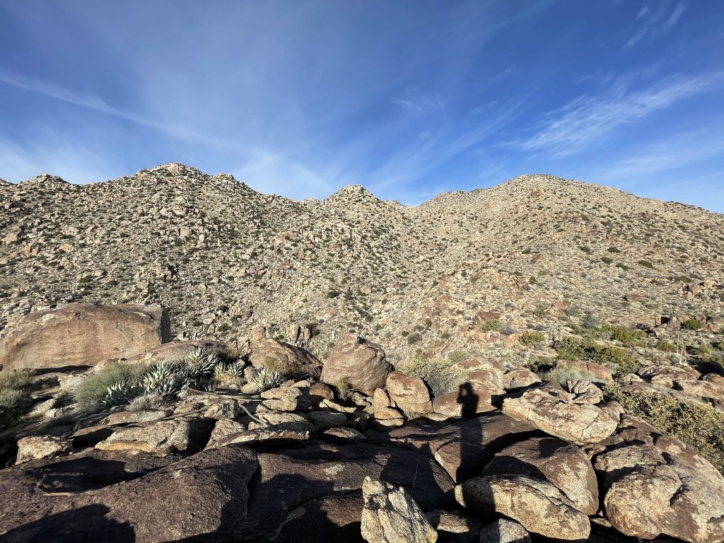
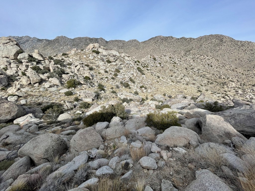
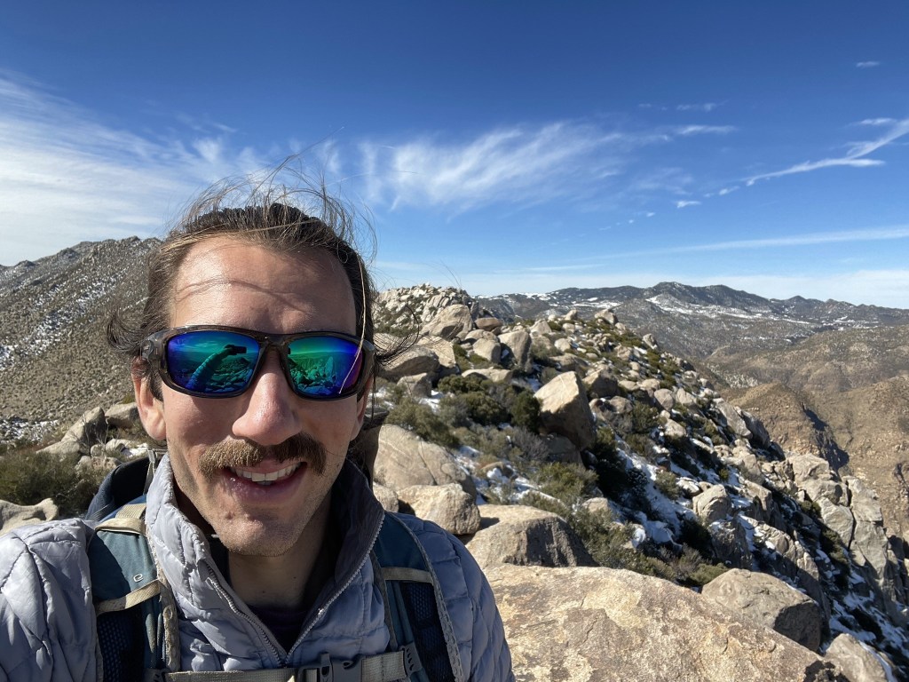
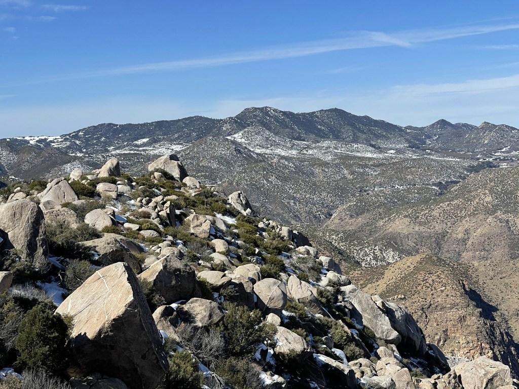
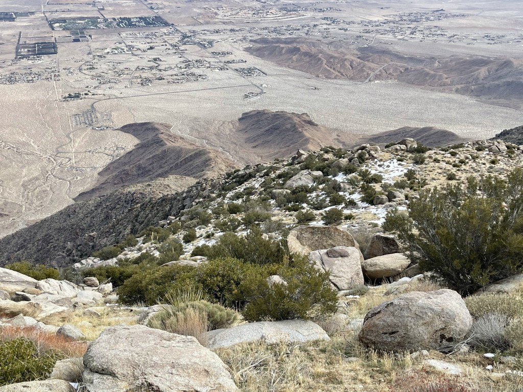
I reached Sirens Peak at 9:28am at 3.7 miles! I located the register which dated to 2013. The previous entry was from November 7th (same party as the previous entry on Kay). I could finally see the long ridge of San Ysidro Mountain. I’m not exactly sure which point is the East Summit in the picture below, perhaps the middle bump.
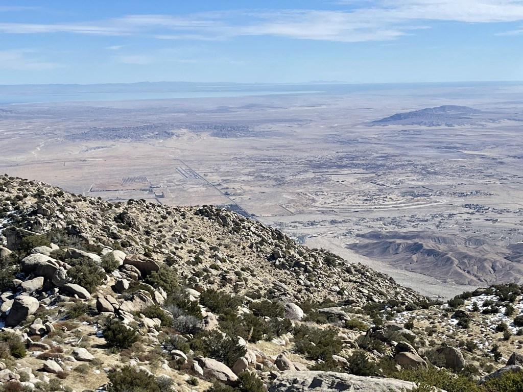
I continued to be fascinated by the evolving view of Borrego Springs as I climbed higher. I was now about 3600 feet above the small desert town.

After a short rest I continued towards San Ysidro East. I downclimbed from the summit boulders directly west.
I then traversed north to the next ridge over. The terrain between the 2 ridges was surprisingly pleasant.
At 4.4 miles I reached the southern base of the ridge. I had descended about 200 feet since Sirens, so I now had over 1000 feet to San Ysidro East. I started up the ridge at an angle heading northwest towards the summit. At 4.8 miles I came across some bones. They looked to be pretty old and were scattered about. There wasn’t much left of this poor animal.

Just above 5000 feet I came across the first pinion pine of the day. Seeing pines trees really highlighted how far I had ascended!
I encountered more and more snow as I ascended higher.
The Peakbagger coordinates for San Ysidro East are actually off by a few hundred feet. I hiked up to where the app said it was, and then backtracked to the true summit. The ridgeline was pretty brushy.

I eventually made it back to the true highpoint and climbed up the summit boulder. I reached the top at 11:10am at 5.7 miles!
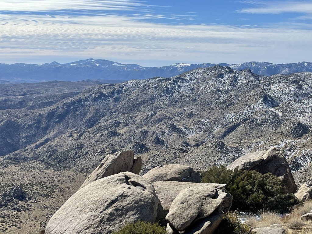
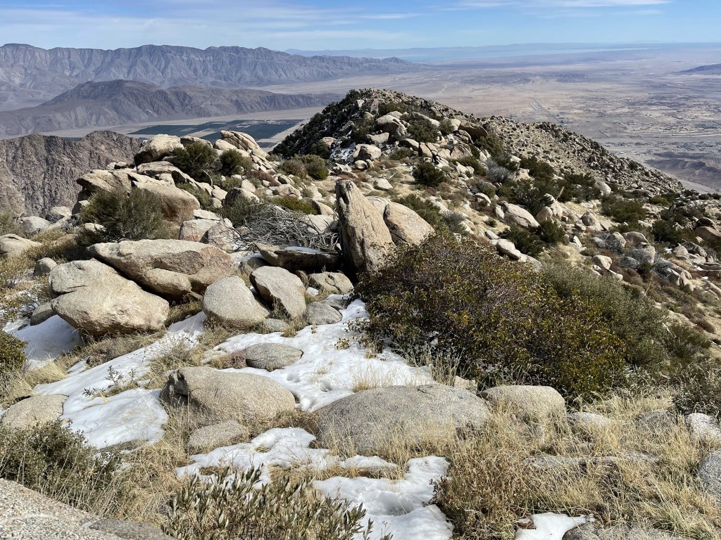
I signed the register which dated all the way back to January 20th, 1979. The most recent entry was from January 8th of this year. This was the highest elevation I reached this weekend, so the views were incredible. Looking west I could see the ridge leading up to the 6147 foot summit of San Ysidro Mountain (middle). The pointy looking peak on the left is The Thimble.

To the southwest I could see Cuyamaca Peak.
Directly south I could see the Laguna Mountains.
Directly east I could see all the way to the Salton Sea.
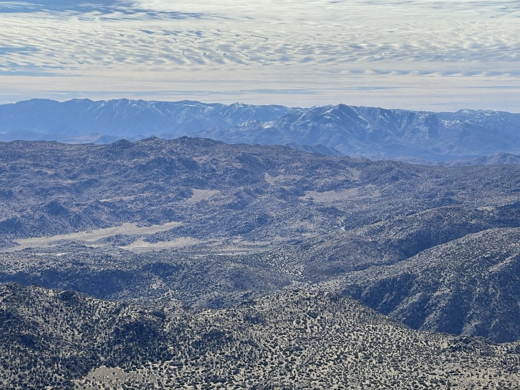
San Jacinto looked very impressive to the north.

And to the northwest I could see Hot Springs Mountain, the highpoint of San Diego County.
I took a lengthy break on the summit to rehydrate, refuel, and take in the views. It had been so long since I had a weekend like this, so I really wanted to soak in the moment. I began descending just before noon.
Rather than traverse south to the ridge I ascended, I continued west to descend down a different ridge. In the picture below, the descent ridge is on the left and the ascent ridge is on the right.
I encountered more snow on the upper part of the ridge.

The sky clouded up which I was thankful for since it would have been very warm in the afternoon sun. Similar to the ascent ridge, the terrain was much more difficult higher up. Once I got below 3000 feet, it was easy going the rest of the way down. I was very close to Indianhead, so I had a great view of it for the majority of the descent.

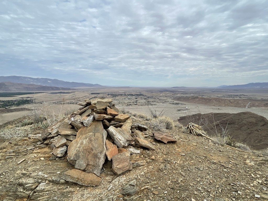
A use trail appeared about 1000 feet above the desert floor. This made the descent even easier at this point. I came across a large cairn at 8.4 miles.
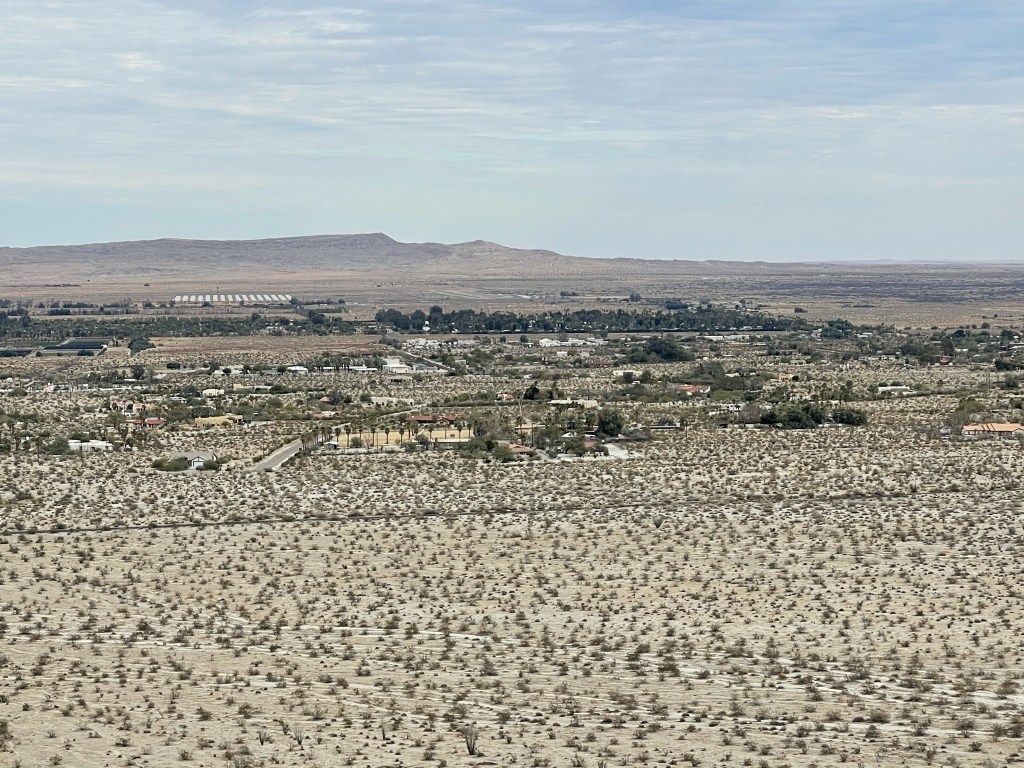
At 9.3 miles I reached Panorama Outlook (1048 feet). Panorama Outlook is a small prominence about 200 feet up the ridge from the desert floor. The state park maintains a trail to Panorama Outlook from Palm Canyon Campground. The outlook had a nice view of Fonts Point located east of town.
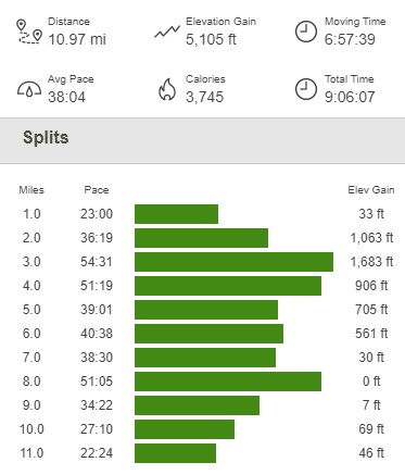
I followed the trail down and reached the desert floor at 9.6 miles. I still had to hike almost a mile and a half back to the Hellhole Canyon trailhead. I finally reached the car at 3:25pm. This hike totaled 10.97 miles, 5105 feet elevation gain, and 9:06:07 total time.
I was very happy that I had such a great weekend hiking in the desert. I really enjoy these hikes with large elevation changes as it is fascinating to observe different ecosystems over such a short distance. I was very exhausted so I made the 2 hour drive home to San Diego for some much deserved relaxation!
