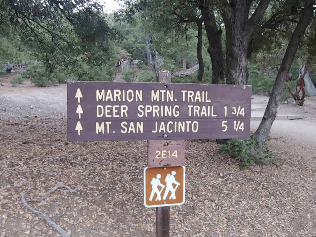
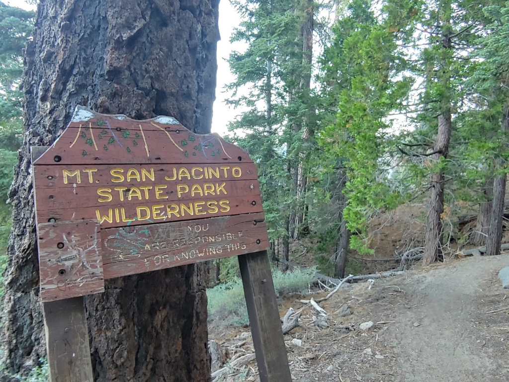
With temperatures forecasted to reach the 90s by the coast and the 110s inland, I decided to head to the upper reaches of the San Jacinto Mountains for a nice loop hike on the Saturday of Labor Day Weekend. I had climbed San Jacinto itself in June 2018, but there are a number of nearby subpeaks of at least 10,000 feet of elevation. I had read various reports of people stringing these together in one long day hike. There seem to be a few variations, but the one I was most interested in consists of the 7 named summits over 10,000 feet. In order of how I climbed them, they are: Marion Mountain (10,362 ft), Shirley Peak (10,388 ft), Jean Peak (10,670 ft), Miller Peak (10,400 ft), San Jacinto Peak (10,839 ft), Folly Peak (10,480 ft), and Newton Drury Peak (10,160 ft). All except Miller and Shirley are Sierra Club HPS peaks. There are multiple ways to approach the San Jacinto high country, with the most popular (and easiest) being from the Palm Springs Aerial Tramway, which takes you from near sea level in Palm Springs up the eastern side of the mountain to 8516 feet. However, the tram was still closed due to Covid-19. I would like to ride the tram someday, but I prefer the western approaches due to the shorter drive (I don’t mind the additional hiking miles either). Anyway, I wanted to get a very early start due to the excessive heat, so I woke up at 3:30am and hit the road at 4. I drove about 2 hours to the small mountain town of Idyllwild, where I picked up my wilderness permit. Permits are required for entering the wilderness area, but they are free and can be obtained at a kiosk outside the ranger station in Idyllwild. I then drove another 10 minutes to Marion Mountain Campground, which is where the Marion Mountain Trail begins. I started hiking at 6:23am from 6400 feet.
I was a little surprised to see a sign warning about bear activity in the area. It is my understanding that there aren’t any bears south of Interstate 10 in California, but perhaps a few wander across each year.

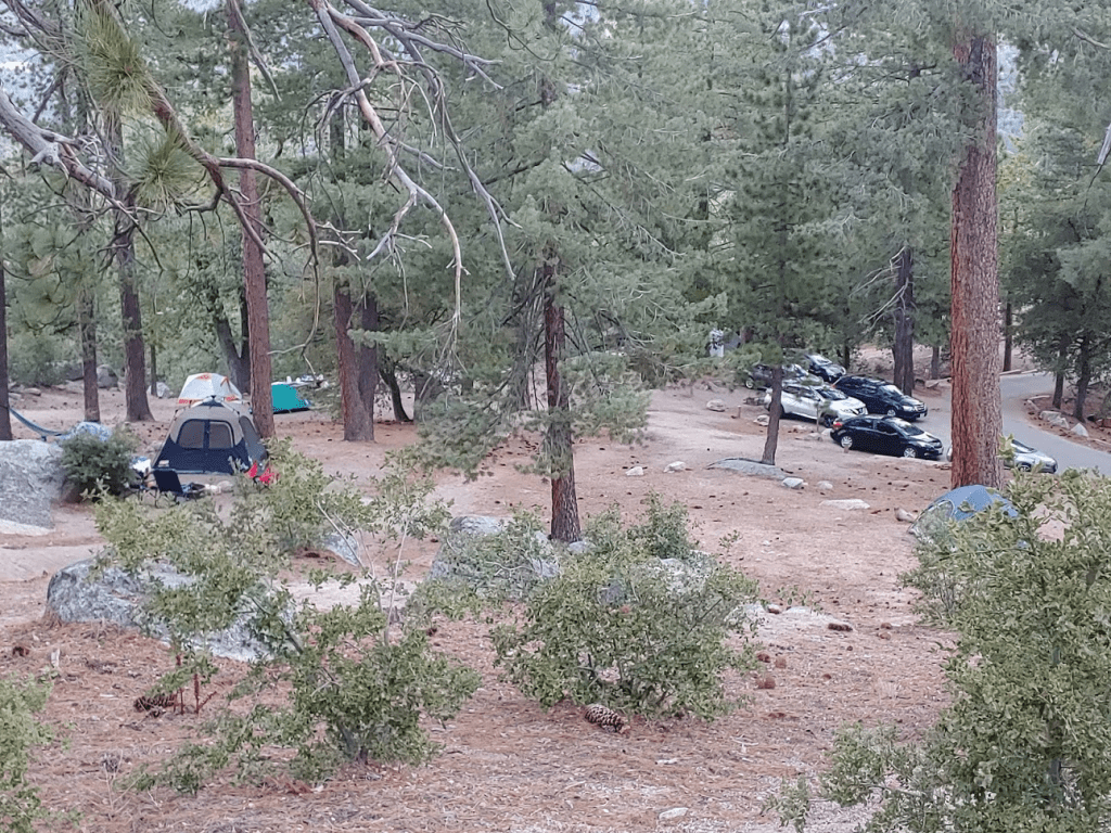
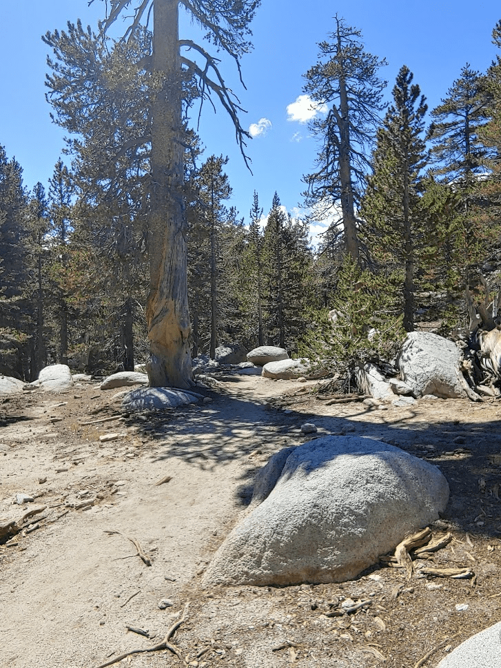
It was a little jarring how warm it felt already so early in the morning. I didn’t even pack a light jacket. The trail makes a few switchbacks and then passes in sight of the campground at 0.3 mile.
The trail then crosses a dirt service road and then finally heads off northeast into the wilderness.
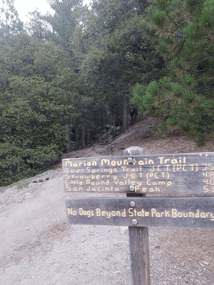
This is the same trail I had used to climb San Jacinto a little over 2 years ago. It’s probably the 2nd most popular way to climb the peak (after the tramway), since it is the shortest, albeit steepest, of the western approaches. I thought a lot about that hike from 2018 – it was one of the first major peaks that I climbed since moving to California, and really helped me to fall in love with hiking in general. I certainly wasn’t the same hiker that I am now, I never thought I would be returning to climb it again 2 years later along with 6 other peaks!
At 1.41 miles I entered the state wilderness.
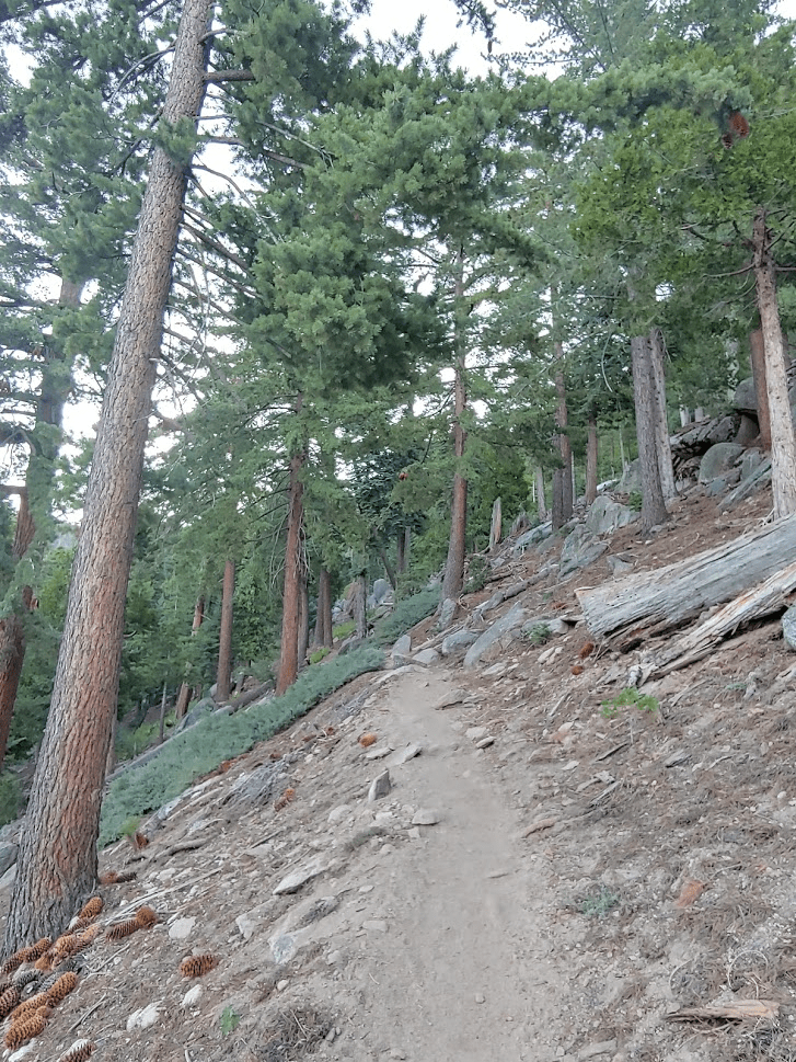
The initial part of the trail is very steep. It’s almost shockingly steep for a highly traveled, well maintained trail. I recalled thinking it was steep 2 years ago, but I had just assumed that was due to my inexperience at the time.
At 2.66 miles I reaches a junction with the Pacific Crest Trail. I continued straight ahead. I had passed about 5-6 hikers up to this point.
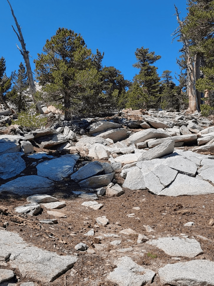
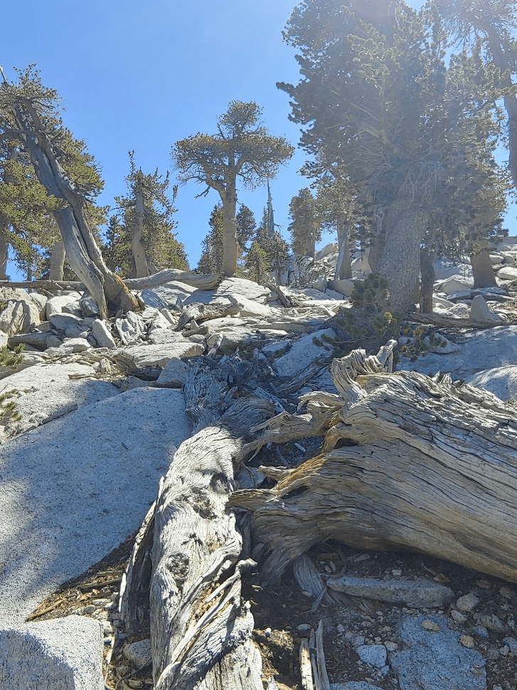
Beyond this junction, the trail levels out somewhat. I continued east a short way until the trail crosses the North Fork of the San Jacinto River at 3.2 miles. Here I left the trail to the right and began climbing to Marion Mountain.

The “river” is really just a small creek at this elevation, but it was still running this time of year. I climbed up just to the left of the creek bed. The ground was wet and there were weeds and tall grass everywhere.
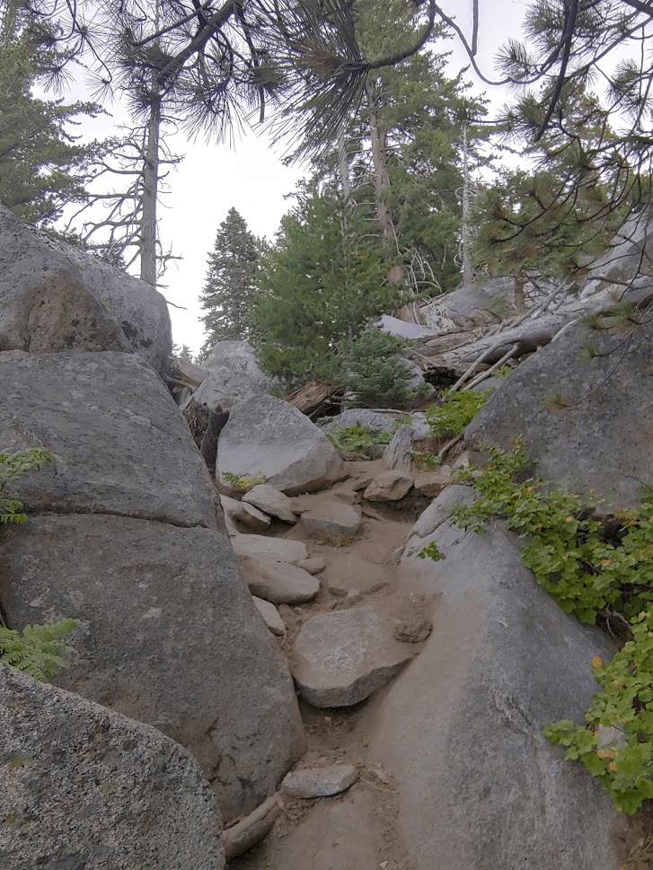
I wanted to get to drier terrain, so I veered south away from the creek. The terrain here was steep and rocky.

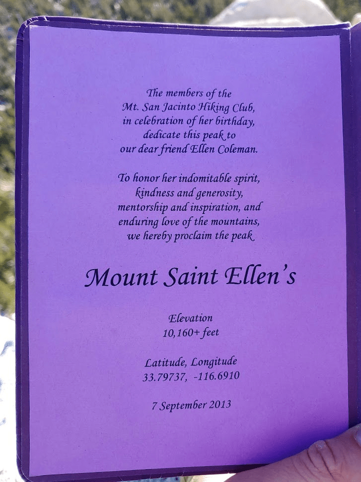
Before reaching Marion, I climbed up a Peakbagger Peak called Mount Saint Ellens (10,160 feet). I was able to approach from the west and boulder hop my way to the summit. I reached Mount Saint Ellens at 8:35am at the 3.97 mile mark.

I was a little surprised to find a nice register book on the summit. It turns out the peak had only been recently given its name. Very cool!
Marion Mountain was just a few tenths of a mile to the east.

I climbed down off the east side of Saint Ellens and descended to a minor saddle. I then started boulder hopping my way up the west side of Marion.

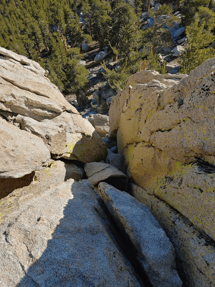
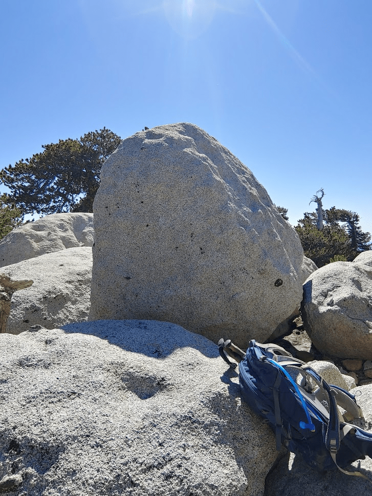
Marion Mountain has a west and east summit of nearly equal elevation. The east summit is where Marion Mountain is located on topographic maps, but the west summit is a bit higher and is recognized by the Sierra Club as the true summit. The west summit is comprised of large boulders with no easy way to the top. I circled the summit area looking for a way to climb up. I eventually found a register tucked underneath some rocks on the northeast side of the summit block. Not far from the register I located the class 3 crack I had read about (the picture makes it look harder than it is).
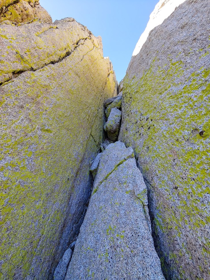
I managed to climb up the crack and I reached the summit of Marion at 9:09am at 4.25 miles!

The views were pretty good all around. San Gorgonio looked impressive as usual to the north.

To the west the observatory on Palomar Mountain was plainly visible.

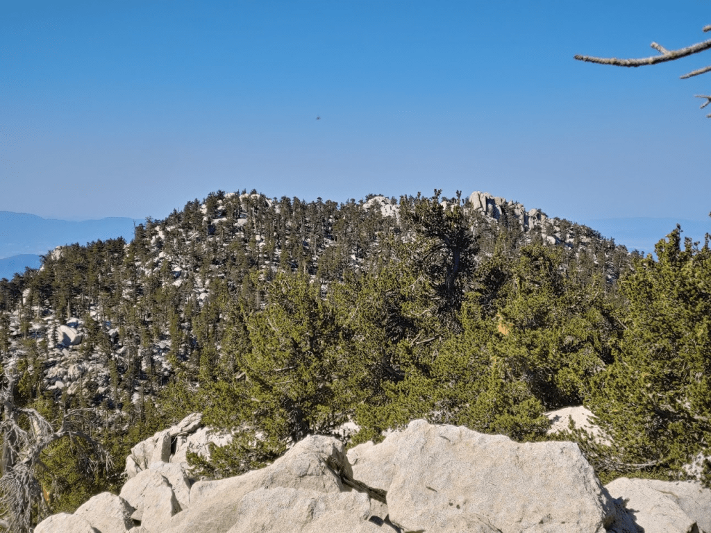
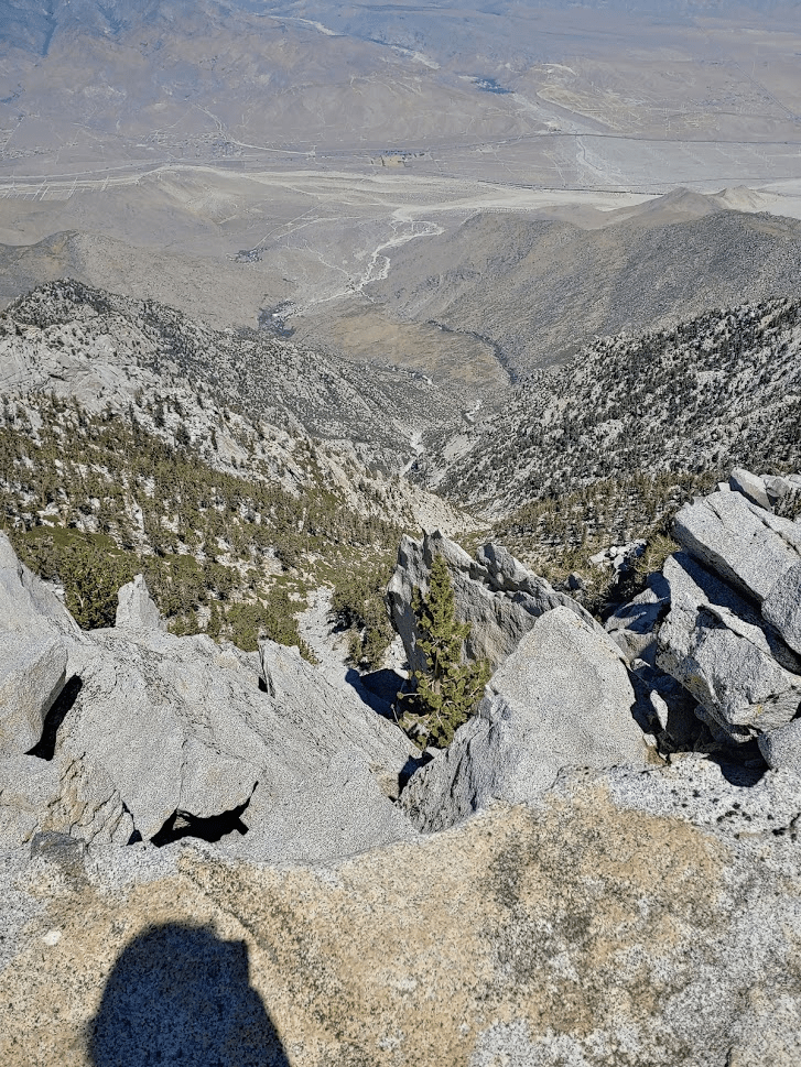
To the northeast, Jean Peak (right) and San Jacinto (left) were dead ahead.

After enjoying the views, I climbed carefully back down the crack.
I signed the register at the bottom before moving on. I noted that someone wrote about another register on top of the summit block. I recalled seeing a PVC container up there underneath some of the boulders. but it was out of reach. Oh well. I decided to climb the east summit of Marion before continuing to Shirley since it was close and appeared to be an easy climb. Indeed, it was less than a quarter mile away. I reached the east summit at 9:31am. I was surprised to find a register here. It wasn’t the usual Sierra Club register though – it actually had a USFS logo on it. It appeared that most of the hikers who had signed it were under the impression this was the true summit of Marion. I took a few pictures of the west summit and then climbed back down. From here it was clear the west summit was higher (this had been less obvious to me when I was on the west summit).

I then started heading northeast towards Shirley. It was pretty easy cross country travel between Marion and Shirley. Shirley isn’t much of a peak – it’s really just a small prominence on the southern slope of Jean Peak.
I reached Shirley Peak at 9:52am at 4.88 miles! I did not find a register. I had a good view of the twin summits of Marion (plus another small bump in the middle). The right (west) summit is the highest.
Here I had an excellent view southeast towards Tahquitz Peak and the Desert Divide. Lily Rock (lower right) is one of the premier rock climbing destinations in Southern California.

I had a great view south towards Toro Peak and the rest of the Santa Rosa Mountains. The north shore of the Salton Sea was visible as well.

Jean and San Jacinto were getting closer.

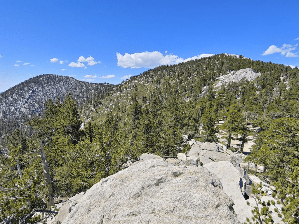
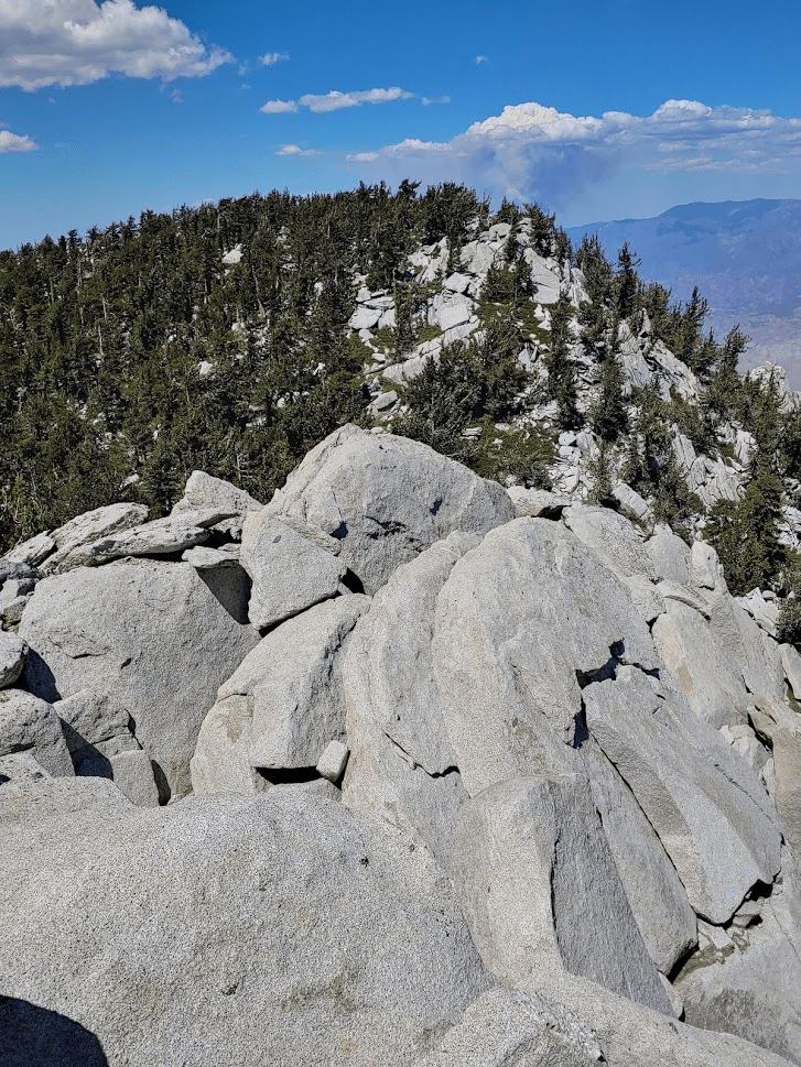
After enjoying the views, I continued north along the ridge to Jean Peak. The cross country travel was still pretty easy here.

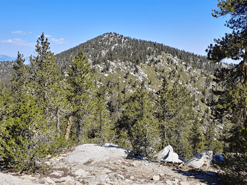
It was now mid-morning and it was really starting to feel warm. I had chosen this route specifically for such a hot day since the majority of the hike would be spent above 10,000 feet which kept things cool enough. I reached the summit of Jean at 10:21am at 5.5 miles. A single large boulder marked the high point.
The summit area of Jean was relatively flat and covered in trees, so the views weren’t great. San Jacinto was now very close.
I signed the register before continuing. I noted that the hiker who had placed the register in 2015 signed his name as the “Old man with the twisted blue hiking stick.” I went north off the summit towards San Jacinto. Before reaching the trail, I found the San Jacinto Azimuth Marker. This marker was located on a small prominence just south of the saddle between Jean and San Jacinto.

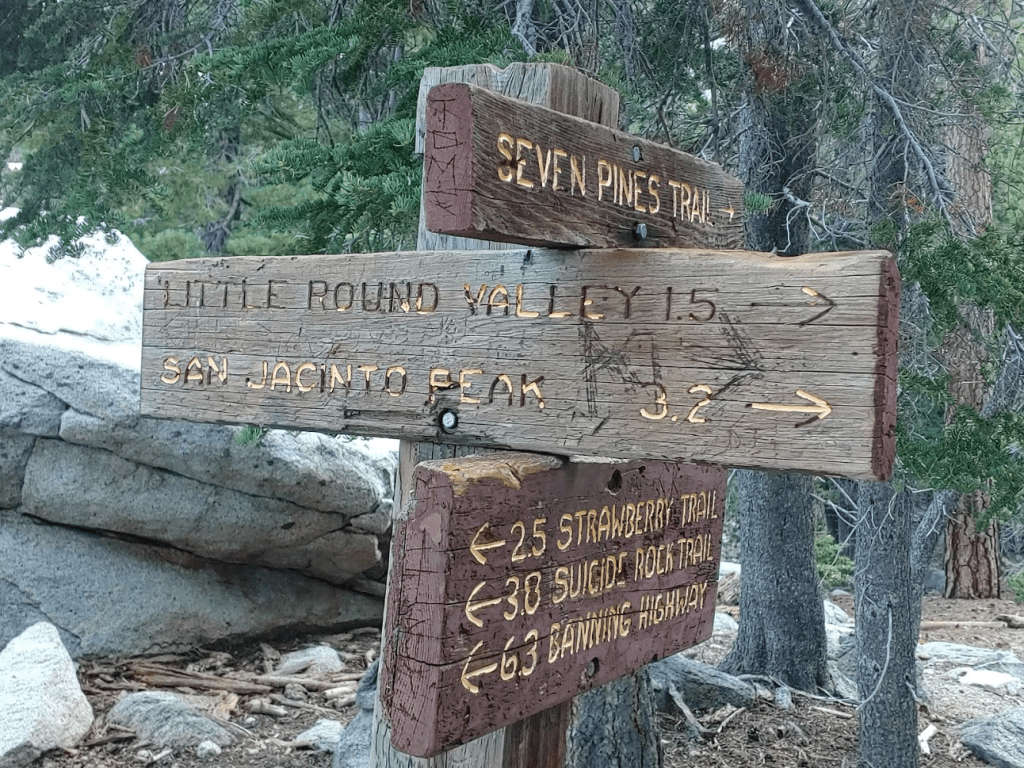
I continued north and soon reached the trail at 6.93 miles. This is the junction where the east side and west side trails meet just below the summit of San Jacinto.

I had one more peak (Miller) before San Jacinto, so I went east along the trail towards Long Valley and the tram station. I had never been on this side of San Jacinto before. It certainly had a drier, more desert-like appearance.
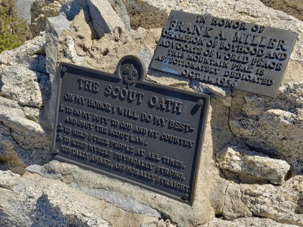
I left the trail where it makes a hairpin turn just west of Miller Peak. It was a very short climb from there. I reached the summit of Miller at 11:15am at 6.52 miles. There is a plaque on the summit honoring Frank Miller, who was an old boy scout leader.
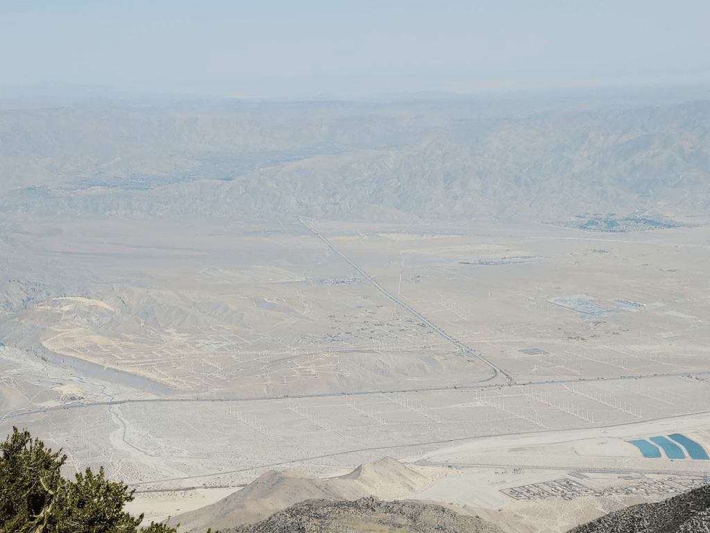
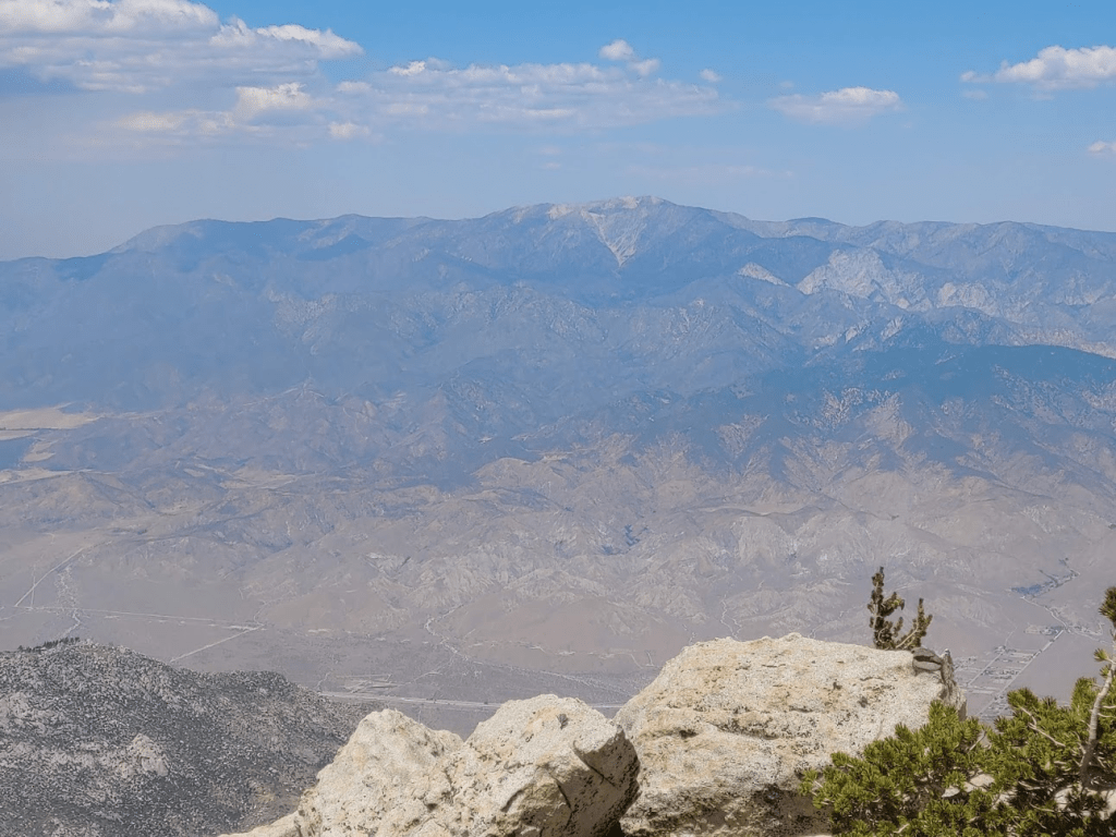
The views were superb. It was a much different perspective than the other peaks since I was now on the opposite side of San Jacinto. The desert cities of the Coachella Valley (Palm Springs, Palm Desert, Indio) could be seen nearly 10,000 feet below to the east. The mountains of Joshua Tree National Park are behind.
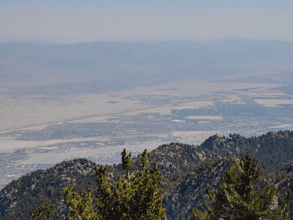
I could plainly see the San Gorgonio Pass Wind Farm and State Route 62 leading up to Yucca Valley and Twentynine Palms.
I could even make out the tram station just a few miles away.

Looking back to the west I could see Jean (left) and San Jacinto (right).
I did not find a register on Miller. After enjoying the views and having a snack, it was finally time to climb San Jacinto. I don’t normally reclimb peaks I’ve already been to, but San Jacinto is such a magnificent peak and it wouldn’t have made sense to skip it anyway (it’s directly on the way to the next peak, Folly). It was a fairly short climb up San Jacinto’s east slope from Miller.
I found what looked like the faint remains of an old trail I was able to follow part of the way up. I intersected the actual summit trail just below the peak. I finally reached San Jacinto at 11:49am at 7.02 miles!
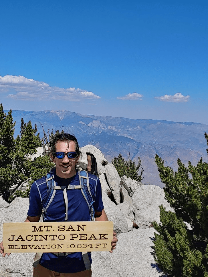
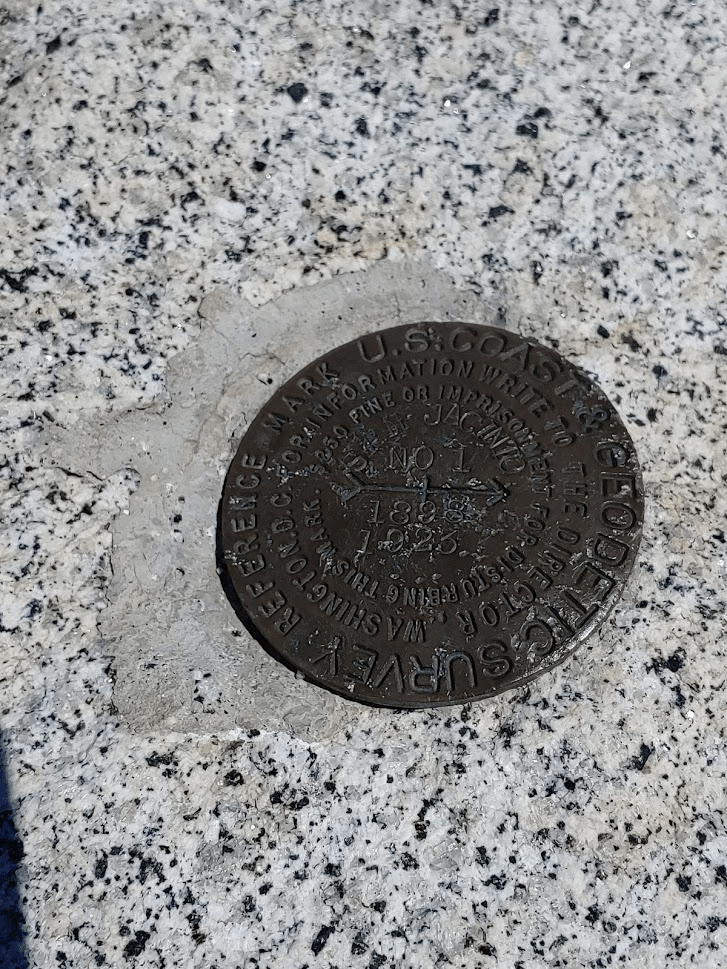
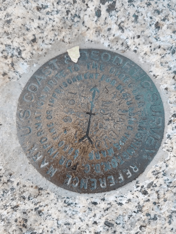
There were about 7-8 other hikers on the summit (it would be the only summit I had to share the whole day). I did not find a register (this is fairly common for super popular peaks as they get lost or stolen easily). I found the benchmark and 2 reference markers.

The views of course were just as spectacular as I remembered. San Jacinto is the 6th most prominent peak in the contiguous United States, so it commands tremendous views in every direction. John Muir even said there is no other view on Earth like it, which is saying something since he spent so much time in the Sierra. Particularly staggering is the steep drop down to the desert on its eastern and northern sides. I recall reading somewhere that Interstate 10 is only 7 horizontal miles from the summit despite being 10,000 feet lower.
There was a large fire burning in the foothills of the San Bernardino Mountains to the north. I found out later this was the El Dorado Fire, and it was burning near the towns of Yucaipa, Mountain Home Village, and Forest Falls. Apparently, this fire was caused by a “pyrotechnic device” someone had for a gender reveal party. I don’t typically get upset by things I read in the news, but this one really got to me. Our precious forests are burning to the ground because someone had to get a cool picture for their Instagram? Who in their right mind would use a “pyrotechnic device” when it’s 115 degrees outside? Unbelievable.

Anyway, the next peak up was Folly Peak. Folly is northwest of San Jacinto along a boulder-strewn ridge.

My progress was somewhat slow. I tried to stay on top of the ridge as much as I could, but at times I had to descend to the left a little to make progress (the right side was a steep drop-off).
I climbed up the final few boulders and reached the summit of Folly at 12:32pm at 7.64 miles! I had an even better view of the fire from here.

I also had a great view of San Gorgonio.
San Jacinto was less than a mile along the ridge to the southeast. It occurred to me that I had now photographed San Jacinto from pretty much every angle.

I signed the register and was somewhat surprised to see 2 previous entries for the same day. I guess I wasn’t the only one climbing peaks other than San Jacinto. I wondered if they had been any of the groups I had met on San Jacinto. I doubted it though, since everyone I spoke with on San Jacinto talked like reaching the summit was the greatest physical accomplishment of their lives. After having a snack, I continued on my way. I had only one more peak to climb before beginning the descent – Newton Drury, which is almost directly south of Folly. I started descending down the steep southern slopes of Folly.

As I was hiking down the slope, I noticed a drone flying overhead. It kind of startled me at first before I realized what it was. I’m not sure drones are legal in state parks or national forests (they might be, I have no idea). Anyway, I crossed over the trail at 8.08 miles but kept going down the slope. I found some weird stuff that said state park property on it near the bottom of the saddle between Folly and Newton Drury.
Shortly after that I began the ascent to Newton Drury. It was really starting to feel warm, but it still felt tolerable even in the afternoon now. However, I was glad this was the final uphill portion of the hike.
I reached the summit of Newton Drury at 1:32pm at 8.75 miles! I signed the register and took some pictures. Drury is the lowest of all the peaks I climbed on this hike, and it is somewhat in between the others, so the views are boxed in by the other, higher peaks. Pictured below is Folly (left) and San Jacinto (right).

I descended off the summit west towards the trail. I reached the trail at 9.08 miles. I was glad the hard part of the hike was over, but I still had many miles to go (plus a few thousand feet to descend).
The rest of the hike was uneventful. I had been worried about the heat as I descended to lower elevations in the afternoon, but the lower part of the trail offers a lot of shade and it really wasn’t too bad. I reached the car at 3:47pm. This hike totaled 13.92 miles, 5574 feet elevation gain, and 9:22:48 total time.


Definitely an awesome hike! The temperature was 93 degrees when I got back to the car at Marion Mountain Campground. It reached the upper 90s in Idyllwild, the 100s in the Anza Valley, and topped out at 116 in Temecula.
